Section 3: This I Know(lton): I Pix(ied) a Winner
Marsh Road, Willington to Barlow Mill Road, Ashford, ~15 Miles, With Matt Woodward
February 5, 2017
My tortured title refers to my hiking partner, Matt Woodward. Matt has been chronicling everything outdoors in Connecticut here, and he’s talented, patient, bright, fast, and had kindly agreed to my crazy pre-dawn meeting times.
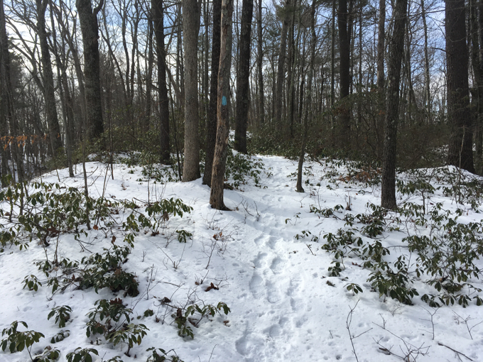
This was our first hike together, and he was right on time at the appointed hikers’ lot down a snowy dirt road in the middle of nowhere in northern Ashford. I love this guy.
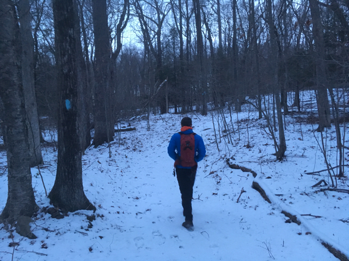
We begin
The plan was to hike almost the entirety of the Ashford section of the Nipmuck together. He’d done most of it before, and I’d done a different section down in Mansfield so it sort of didn’t make sense.
At least on the face of it.
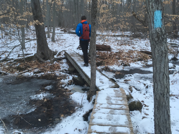
But since Matt understands the way my brain works (to a degree), he understood that completing this section was integral to my various goals. (He later joined me for the Ashford section of the Natchaug Trail as well.)
We did about 11 miles together, and then I returned later in much warmer weather to do the final 4 miles up to the Eastford border myself.
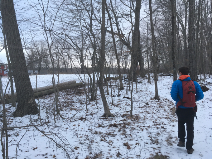
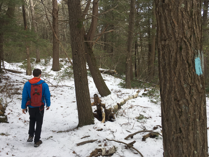
We began before the sun was above the horizon through a smattering of snow off of Marsh Road near the Willington/Ashford border. The first mile or so was spent getting to know each other and probably feeling out each other’s pace.
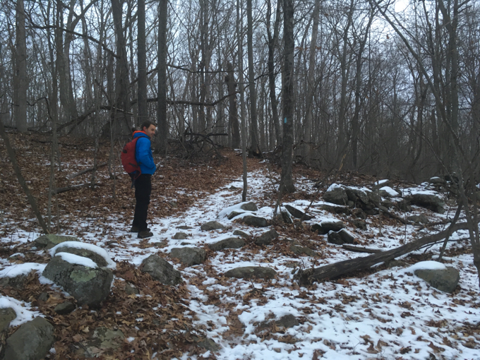
I liked Matt’s pace. (Credit to him, he was probably slowing it down a bit for me, but said nothing of the sort.) I also came to learn Matt isn’t one for breaks either. My new BFF.
This first stretch south of route 74 offered little in the way of excitement, which was fine. It allowed us to get to know each other a bit. Wait, I just said that. The trail passes near a farm and of course alongside a bunch of old stone walls.
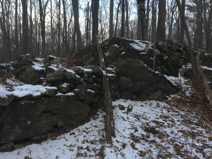
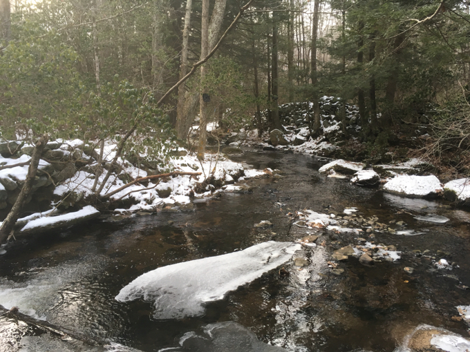
We quickly reached Knowlton Brook and followed it for a pretty stretch up to the route 74 crossing. There’s a hiker’s lot here on the eastbound side and what appeared to be a newly cut access trail to the Nipmuck.
I should note – these two Ashford hikes (this and the Natchaug) would be my last two using the “old” CFPA Walk Book. A new one is in the mail to me as I write and no one is more excited for this than me. Putting the old one to bed will be tough for me, as I’ve come to think of it as a friend.
But it’s time.
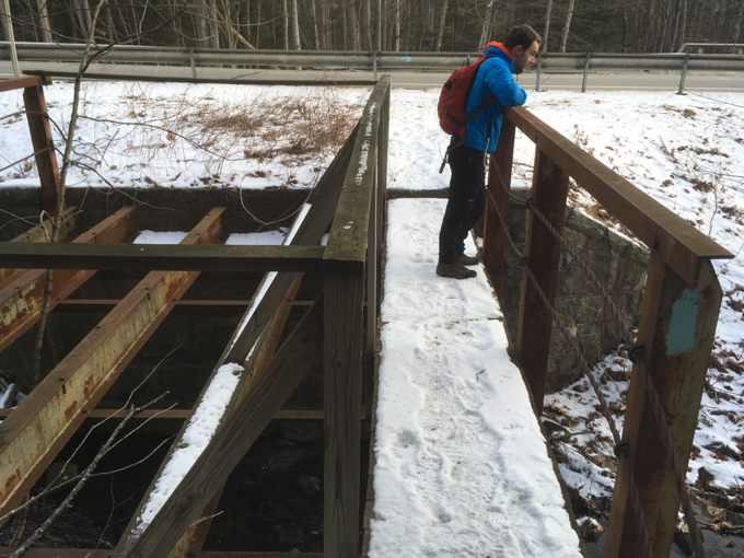
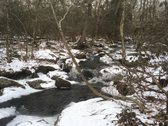
The trail follows Knowlton Brook for a bit north of 74, then veers eastward up a hill. Our first uphill together. I took a picture.
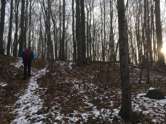
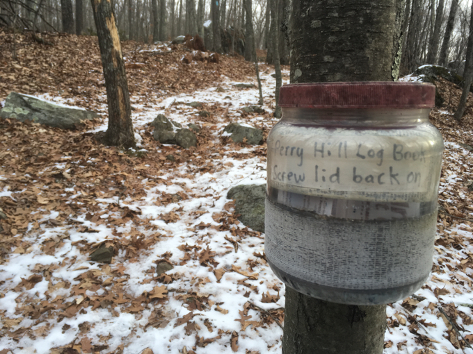
As you can see, the sun had risen finally and we soon crossed Perry Hill Road and another, larger, hiker’s lot. There’s a trail register here and I even recognized some names in it from the Connecticut hiker world. Shout out to y’all.
This stretch of trail between Perry Hill Road and Westford Hill Road has undergone some fairly significant change since the “old” Walk Book was published.
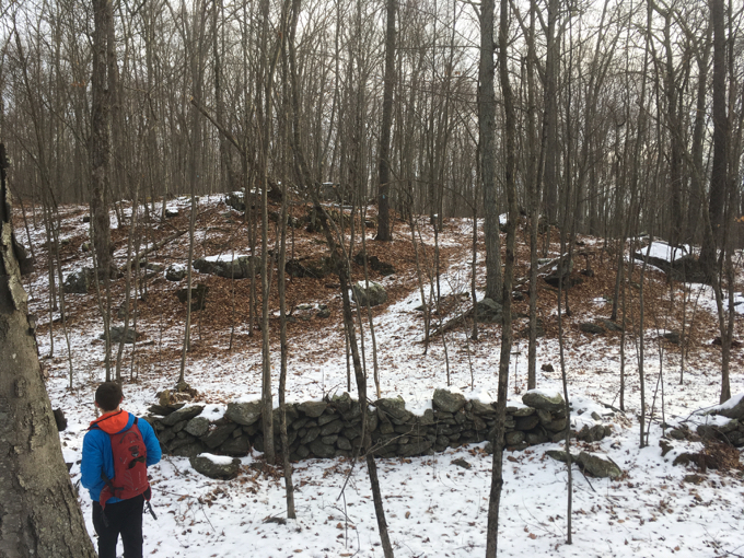
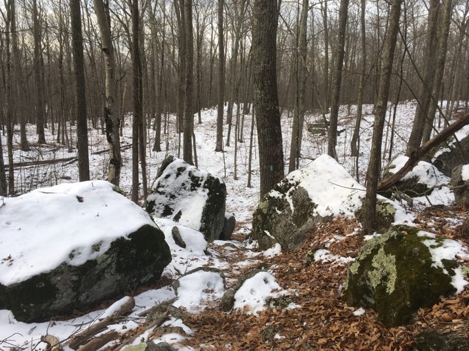
The first bit is really nice; more stone walls, some cool rock formations and tumbles, a few ups and downs. But then there appears to have been some rerouting around a rather massive timbering operation which has removed pretty much every big tree around.
I’ve no idea if this was to combat invasive insects (ash and hemlock trees) or purely for the timber, but it’s pretty ugly in early 2017. Kudos to the trail crew responsible for the Nipmuck here, as they’ve done as good of a job as possible keeping the trail cleared, blazed, and generally headed north.
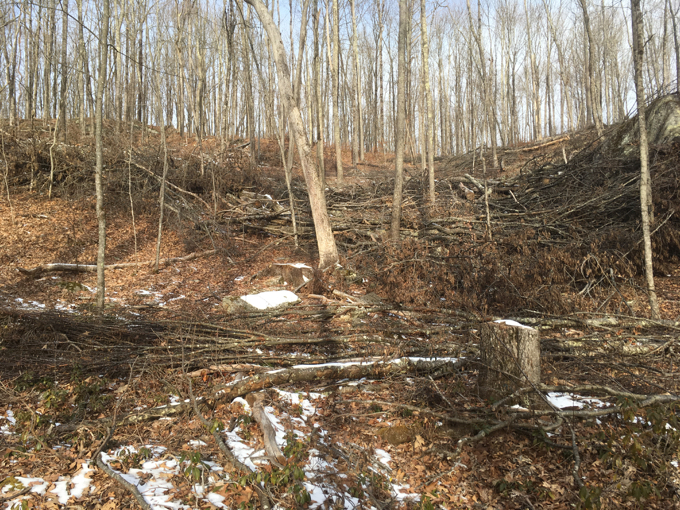
The cleared area is just outside of the Natchaug State Forest, so it’s not a state operation. Who knows. We passed behind a bunch of houses; all of which seemed to be cooking bacon and using wood stoves – plenty of wood to be had out back!
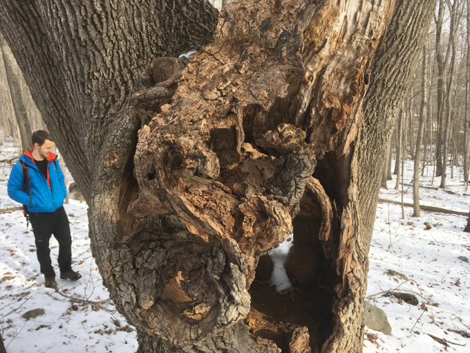
This tree looked cooler in person
After seeing Westford Hill Road for what seemed like an eternity, the trail finally turned and crossed it. I told Matt that there’s a world class distillery nearby that shared a name with the road (Westford Hill Distillers) and he seemed shocked.
Dude, I’ve known about if for a decade and I’m still shocked it exists up here.
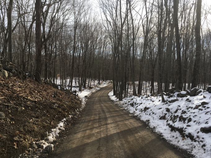
After a short jog through the woods, we reached the unpaved Oakes Road and began a fairly lengthy road walk to get over to another parcel of the Natchaug State Forest.
Oh look, it’s the Mount Hope River! (I’ve come to know every little river in Ashford. They are all very nice.)
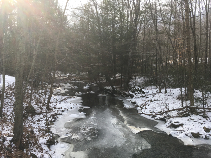
Across route 89 and up Iron Mine Lane and oh look, it’s Horizon Wings Raptor Rehabilitation Center! I visited this place on Earth Day in 2016 with my sons and we had a blast. Again, it was cool to be able to bring another new place to Matt’s attention.
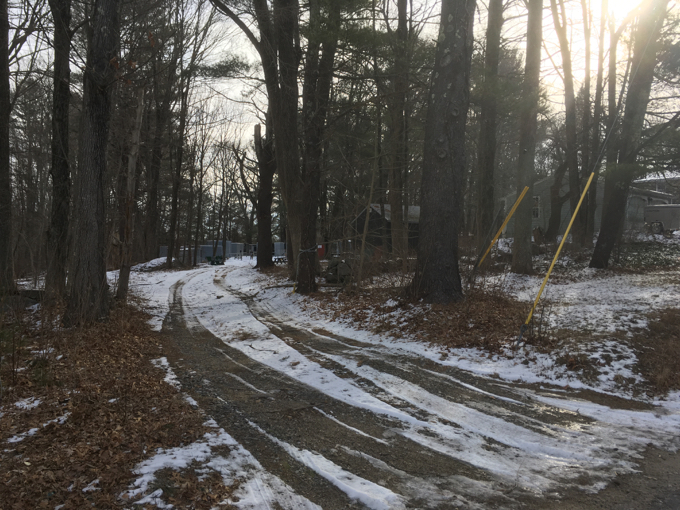
The raptor place is back there
A woman from the raptor center was out and about and seemed quite curious about the two hikers walking along the property. We were trying to get a look into it at some of their noble birds of prey, so I understand her wariness.
Or was it friendliness? Why am I so cynical?
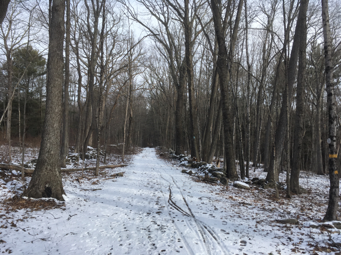
Iron Mine Lane
Iron Mine Lane ends at a gate and a little parking area. Now it was time for Matt to school me on a few things. He’d hiked (and filmed) all of the Joshua’s Trust properties in Ashford and just south of us was Iron Mine Valley Preserve.
As we turned north and away from it, Matt had a chance to breakdown the various Ashford Trust properties. It’s always nice to chat with a fellow completist as there’s no need for the usual “I swear I’m not crazy” caveats.
Like I said, BFF’s.
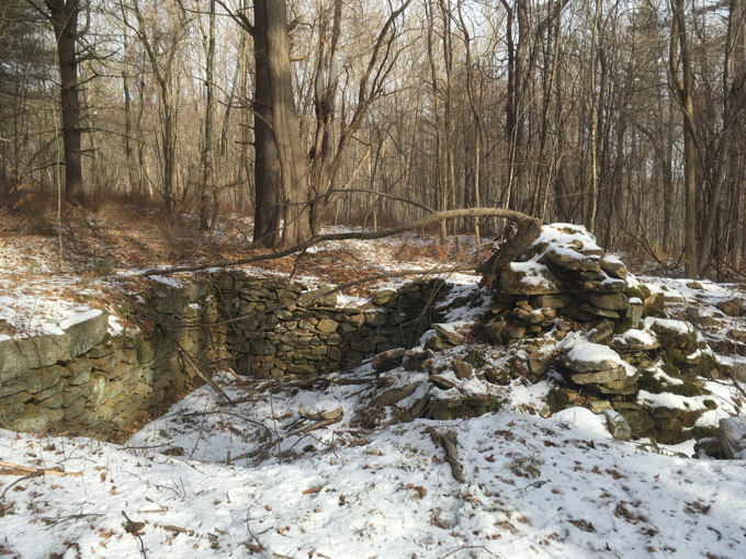
We passed some old foundations and even more cool rock formations on our way up to Pixie Falls. I wanted to make sure Matt knew I simply could not miss the falls, and he was confident we wouldn’t.
He’d been here before and new the sheer power of the falls.
Or, rather, that there would be a sign for them.
Which there was. Way, way high up on a tree.
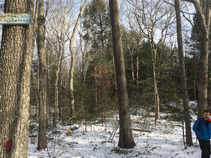
I wrote about the falls here, but as pretty as they are, they are hardly a waterfall. Matt and I poked around the area for a bit and even munched on some trail mix.
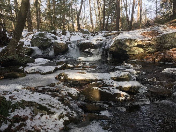
Pixie Falls
That constituted a break as far as we were concerned, and we quickly got back to the Nipmuck and continued north. We passed a poorly constructed sign in the middle of the woods telling us that “this section of the trail is 400 years old.”
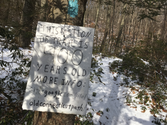
And to go to learn more at The Old Connecticut Path website. Matt and I were both aware of the site (BFF’s and all) and the guy, Jason Newtown, who puts it all together. He’s another obsessive completist who has produced a slew of YouTube videos about it.
I’m not too hip with his signage in the middle of the woods, but to each their own.
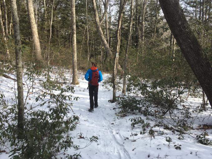
As important as the Old Connecticut Path was, it simply couldn’t compete with my excitement for the impending Ladies Room Rock. After all, someone named a large glacial erratic “Ladies Room Rock.” As we neared it, we passed by a hundred large rocks that would provide privacy to a woman relieving herself.
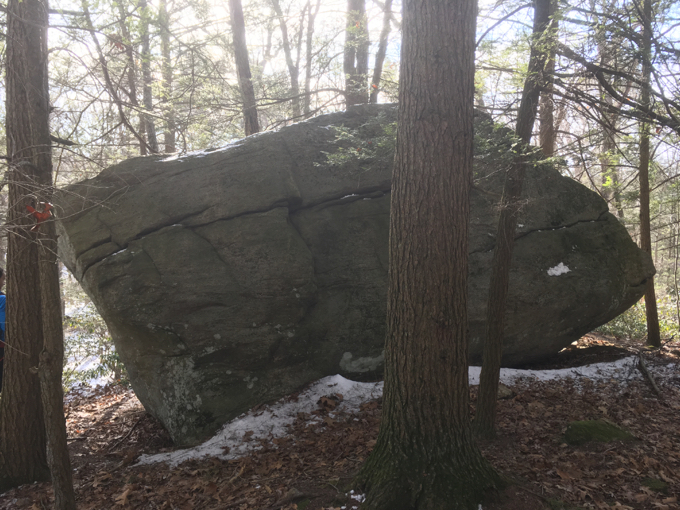
Ladies Room Rock
Ladies Room Rock is literally right on the Nipmuck Trail, so really, it would be kind of dumb for a woman to drop trou right there and not somewhere a tad further off the trail. (Pretending the Nipmuck in Ashford is a busy thoroughfare.)
Anyway, I felt that Ladies Room Rock was important enough to warrant its own CTMQ page, here. I’m sure you agree.
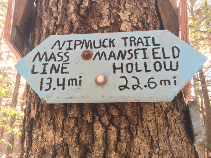
Just north of the rock is the terminus of the Natchaug Trail. There is a ton of signage here, all of which seem to struggle with exact mileages. (Due, most likely, to that reroute through that logged area a few miles south.) I’d be returning here in a month, parking along Eastford Road to hike that trail, but for now, we continued north.
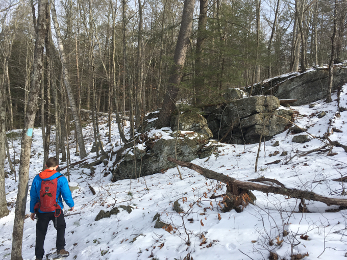
Once across Eastford Road, we entered the Yale Myers Forest. The rest of the Nipmuck in Ashford is within the Yale tract, and it is remote, feels remote, and acts remote. There was demonstrably more snow here. It felt colder and more wild. The hills are steeper and rocks are sharper.
I swear.
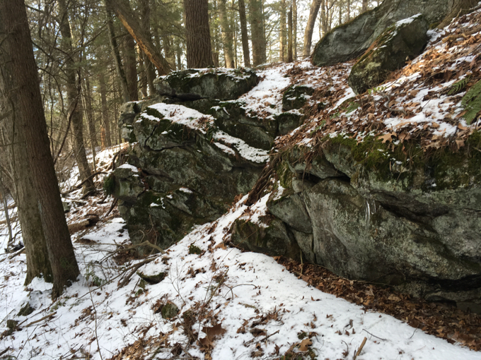
Yale owns a few forest tracts, but this is the only one in Connecticut. The others are up in Vermont and New Hampshire.
Their largest parcel is this one, which covers 12.2 sq. mi. in the towns of Ashford, Eastford, Union, and Woodstock. This forest has the most activity in terms of education, research, and harvesting operations of all the forests managed by the School. It is comprised of mainly mixed hardwoods on glacial till soils with a large component of hemlock, several scattered white pine stands (mainly of old field origin), and occasional red pine plantations started in the 1940s after field abandonment. There are numerous small ponds and most wetland areas have been created by beaver activity. The majority of this parcel is surrounded by large state (park and forest) and private forest ownerships. Most of the adjacent private landholdings are small in terms of acreage, but Hull Forest Products owns two large inholdings in the forest. Its situation makes it part of one of Connecticut’s most remote forest areas, although suburban commuter dwellings are beginning to surround this area.
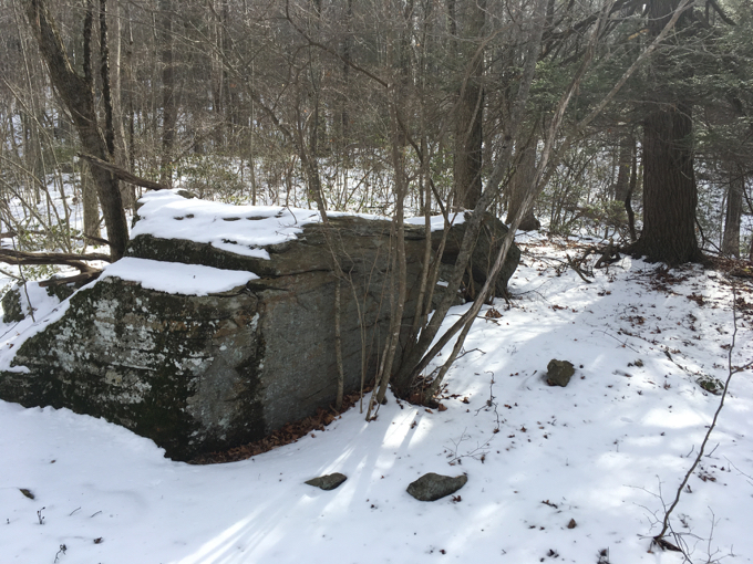
Don’t worry, you won’t notice any encroachment up here. We climbed Turkey Hill and once on the northern flank of it, snow covered the trail. This was a great area in which to complete our hike together, as it offered a sort of different hiking experience. Plus, hiking in snow is quiet and allowed us to sort of reflect on our morning.
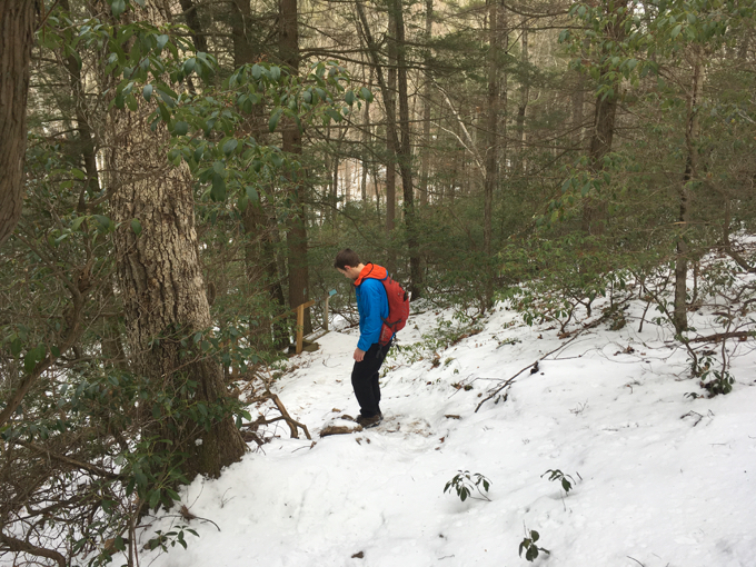
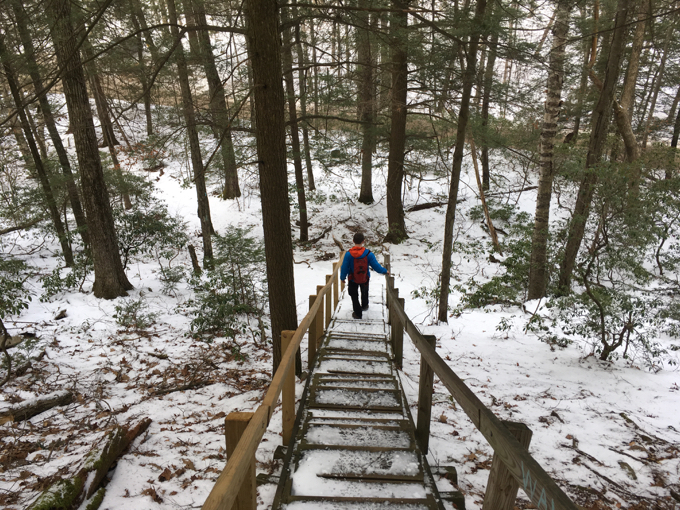
Just a simple walk down some stairs to our waiting car along Boston Hollow Road and – Holy Crap! The stairs were a deathslide with the snow. In fact, the decline before the stars was dicey (yeah, I fell), but the icy/snowy steep stairs were a fun way to end our day.
I hopped in Matt’s car and we drove back to mine on Marsh Road and said our long, maudlin goodbyes. I missed Matt during my long drive home. Until next time, buddy!
Since I was intent on “completing” Ashford, I returned to Boston Hollow Road a few months later to hike the remaining four miles of the Nipmuck up to the Eastford border, just south of Union.
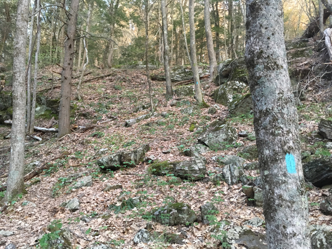
As the trail steeply climbs to gain the ridge (picture, above), I passed through a forest of trillium. These fleeting, beautiful flowers are fairly common but they never fail to impress me.

Of course, I’d have missed them on a winter hike. This last bit of the Nipmuck in northern Ashford forms a giant C. It follows two distinct ridges through the Yale Myers Forest and necessarily avoids the privately held Hull Forest Products land.
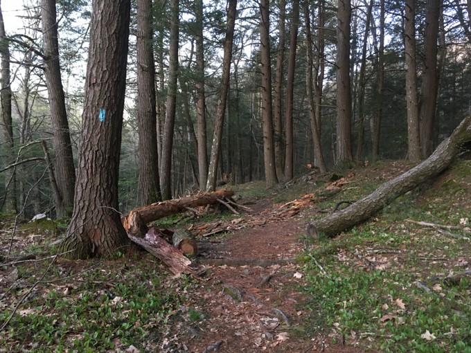
The wide western spur is worth every step. It’s one of those Connecticut hikes that feels Vermonty – despite the lack of mountains. Looming white pines, exposed rock poking up through moss beds and fern forests… I loved it. I wish I had Matt with me.
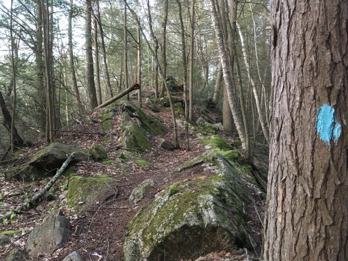
No, really, I did, because I didn’t have a car spot. So halfway through this solo jaunt, I turned tail and jogged back to my car. Then I drove up to the next road crossing on Barlow Mill Road and jogged west and south back to where I turned around half an hour prior.
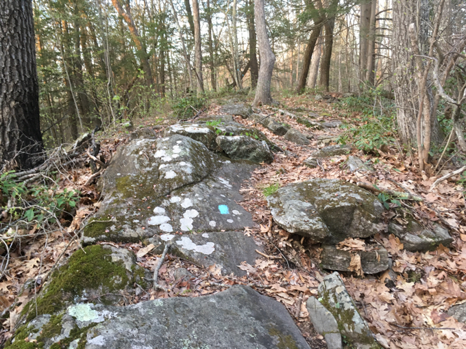
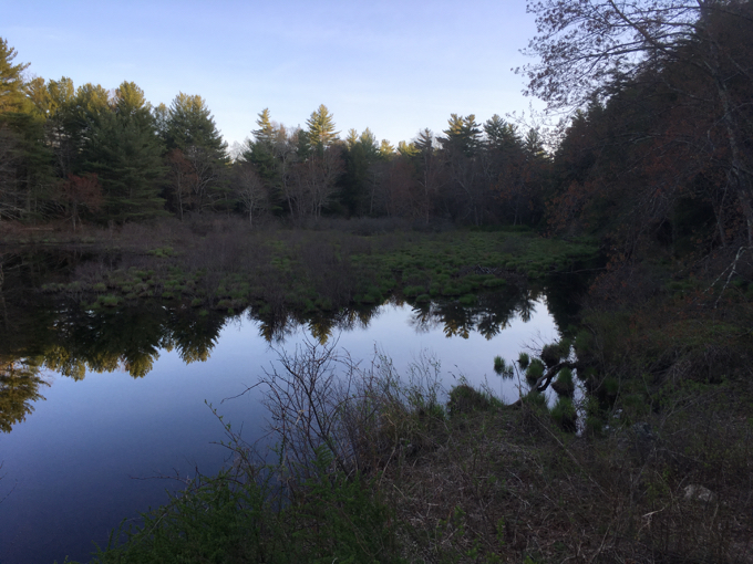
At which point, yup, I turned around again and began walking back to my car. Again: worth it. There are lots of glacial erratics up here as well as laurel stands and some views down to beaver ponds and such. It’s nice. I recommend it.
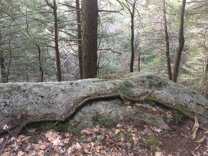
And for craft beer bros and fanboys, there’s a punny joke to be made:
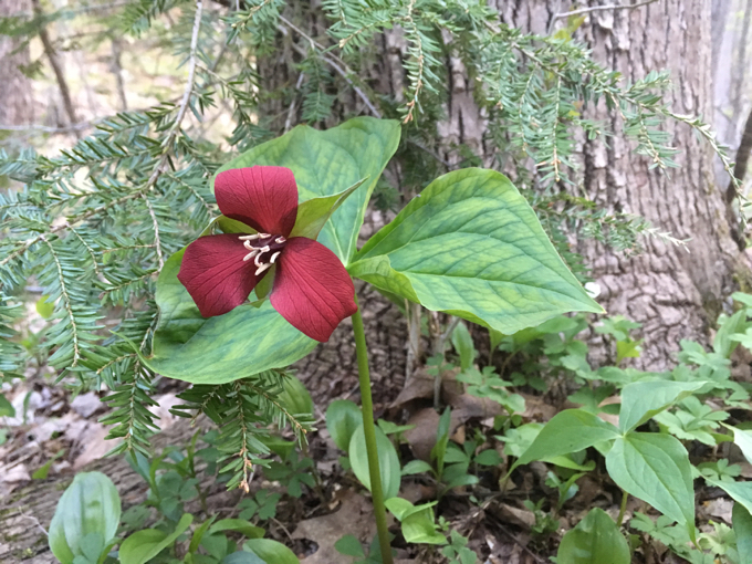
Trillium +
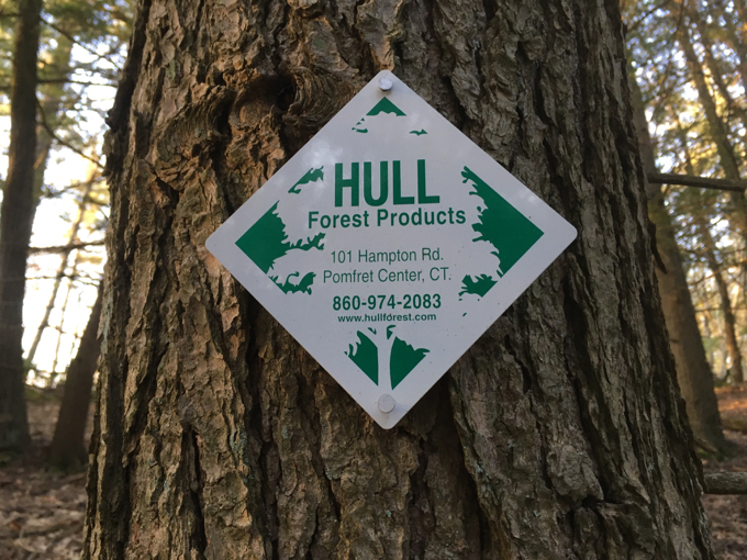
= “Trillium Hull.”
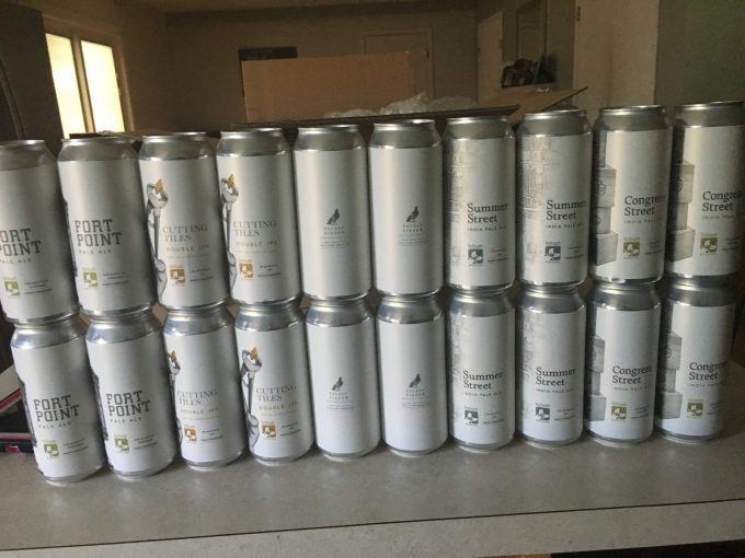
Someone’s Trillilum haul. that’s nearly $200 of beer right there.
For the (lucky) uninitiated, Trillium is a top-10 US fanboy brewery. Based in Boston, their $5-per-can beer is highly sought after and bros love to post pictures of their “hauls” on social media.
It’s a whole thing.
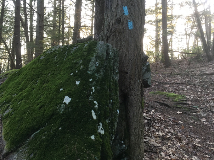
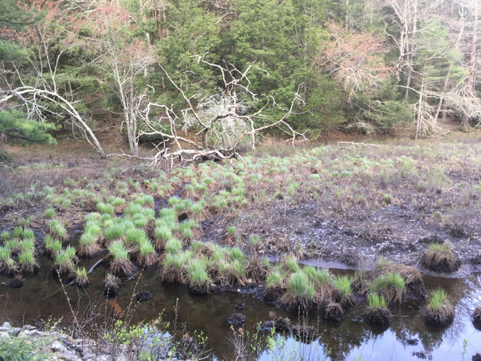
Meanwhile, the Nipmuck heads north again once down to Barlow Mill Road and the remains of the Barlow Sawmill. I poked around the area for a while, hoping to catch a glimpse of a beaver at work.
This is a fun hike with some really interesting spots along it – no mountains, no views… just a straight up well-made and cool trail.
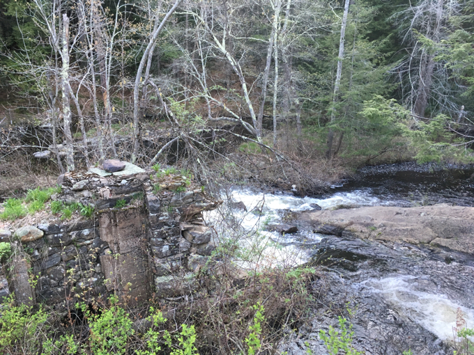
Barlow sawmill
Continue on to Section 4: The State of the Union
CFPA Trails Map
CTMQ’s Nipmuck Trail
CTMQ’s Natchaug State Forest
CTMQ’s CFPA Blue Trail Challenge

 Auntie Beak says
June 6, 2017 at 5:32 pmwe must have been there at very close to the same time… See picture
 Chance beauchesne says
May 29, 2021 at 12:48 pmYou say there are new views on this section of the nipmunk…… What about the Boston Hollow Overlook? And the 300 ft Vertical drop down to the bottom of Boston Hollow? The Overlook provides great views Of the Hollow and the greater Yale forest area
 Chance beauchesne says
May 29, 2021 at 12:54 pmMeant to say there are “no”views… Not “new “ views