Section 8: Powerful Stuff
Seven Falls (Route 154) – Brooks Road, 5.7 Miles
October 7, 2008
I’m looking at this page in late 2020 and I have to apologize again for the tiny and vertical and generally poor quality of the photos. 2008 was a long time ago!
As I near the end of what is a much, MUCH better trail than I had anticipated to find when I began, I’m reminded again what makes hiking the CFPA Blue Trails Challenge so unique. This is Connecticut, the state with the fourth or fifth highest population density in the country – and moreover, the Mattabesett traverses towns in the center of the state, not the northwest/east corners. And yet, this is a fun, interesting trail with challenging sections, great views, and a beauty all its own.
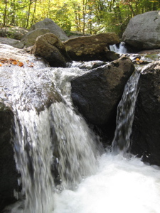
(That said, my title is a play on the fact that this section crosses four separate power line cuts – and yet, it is still a cool hike.)
Before I get too maudlin, let’s get to the hike. After all, I do still have a few miles to go before I can call the Mattabesett complete. Beginning where I last left off (of course) at the Seven Falls Rest area along Route 154, I was again struck by the strangeness of this little picnic spot.
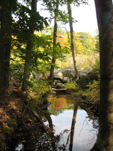
I mentioned in the last section report that the stop over was the state’s first rest area and was extremely popular when Route 154 was the main road from Hartford/Middletown to the Connecticut shoreline. So that’s kind of cool.
Anyway, Seven Falls is a very pretty area – but it seems to be frequented by sketchy characters. This is my third time here and all three times creepy guys were milling about. This time, two guys looked rather annoyed with my presence as I bumbled right near them. They scurried away to complete their drug transaction or whatever they were doing.
Note: One of them drove a nice Acura SUV which was parked up on 154 when I began. When I looped back here a couple hours later, the same guy with the same car was still there, having a totally fake conversation with a strung out guy as I walked right past them again. Oh well, they didn’t bother me so it’s okay.
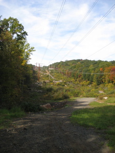
Yes, today would be a loop hike for me; coming back along the Bear Hill Loop and Seven Falls Loop Trails; more on them in a separate post. After leaving the small falls area at the rest stop, I paralleled the brook and the “new” set of power lines for a while. You’ll notice my first several pictures here contain power lines. While they are indeed ugly, they do power my computer and they give ATV riders a place to practice their hobby off of my blue trails.
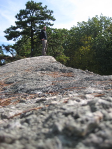
But here’s the thing – this two-thirds of a mile or so along this swath is actually pretty cool. And downright pretty at times. Maybe it was the peak foliage, I don’t know, but I enjoyed myself.
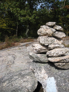
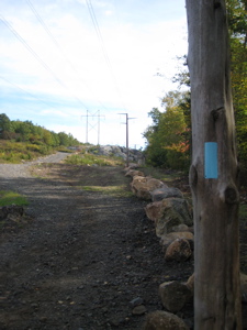
There’s even a couple rock scrambles here to boot. It’s almost enough to forget the hum of the high voltage above your head. And, to top it off, the blue blazes are painted on wooden posts stuck in the ground solely to guide us hikers on our way. I liked that.
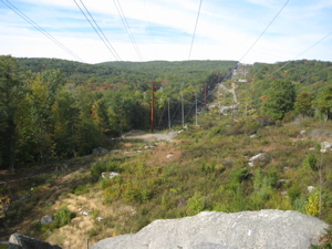
Again, please note this was 2008. I’m sure things have changed.
After the power lines, I passed more power lines – these were older and not as exciting. Then the trail zig-zags it’s way north into Middletown, the final town of the trail. The first zig is quite a zag. Up, around, and down a bunch of boulders and cliffs – hey, this was fun stuff.
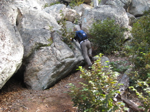
I passed what is the first of several Bear Hill Loop crossings before heading off east on another major zig. I was not clear on why the trail followed this route, as the contours did not look to necessitate it. But I followed the trail to it’s tippy tip at the end of the zig – and found a nice little falls there. It’s tiny, but the perfectly squared off edges of the “steps” are worth blazing the trail out here – before zagging back west, then north.
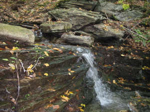
Across a little stream and then boom – zig back east along the bottom of the so-called Chinese Wall. A massive cliff in the woods, this “wall” is rather imposing. Of course, for every zig here there is a zag – and this one was up to the top of the wall and then back west along the top of it. The Walk Book mentions a view here, but there is none. Keep walking, if views are your thing.
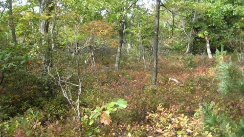
Shortly after that disappointing vista, I was very pleasantly surprised by a great view north. This one isn’t even mentioned in the book, but it’s the best view of the day! I even stopped and had a drink and a banana here, a rarity for me. I knew I’d be back in this very spot on my return trip via the Bear Loop, so I continued onward along the ridgeline up to Bear Hill.
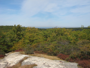
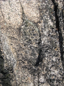
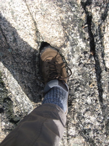
Just before the summit, the book promised another view (this time south) and it was merely okay. The geology of the massive exposed rock face beneath my feet was actually cooler. I noticed the very long, very interesting intrusion of milky white crystals splitting the more boring gray rock. You’d think I’d be a bit more academic in my description… but oh well. If you want to clarify, be my guest in the comments.
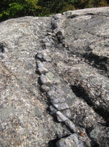
I also found evidence of early man here in the woods in Middletown, Connecticut. We’ll call him… Middletown Man and say, with no scientific basis whatsoever, Middletown Man tamed and rode dinosaurs.
On top of Bear Hill, there is not one, but two benchmarks. I look for these things at the summits of all the hills I climb on my hikes, but rarely find them. To find two is just crazy… But they are slightly different. I don’t know enough about these things to understand why…
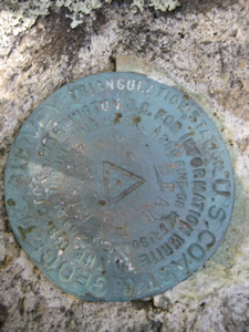
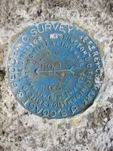
The one on the left says it’s a “Triangulation Station” and has a triangle in the middle. The one on the right (from 1934; I can’t read a date on the other one) states that it is a “Reference mark” and points north.
Neither of them mention being at the summit of Bear Hill, however. Oh, wow… okay; I just spent 20 minutes learning all about the many different kinds of benchmarks. I had no idea. Today I learned.
From the top of Bear Hill (at 660′, it’s 1656′ shy of Bear Mountain out in Salisbury), the Mattabesett heads northerly again, but the vegetation varies wildly over the course of the next mile. Crazily so…
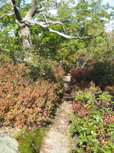
Chestnut oak and blueberry for the first quarter mile…
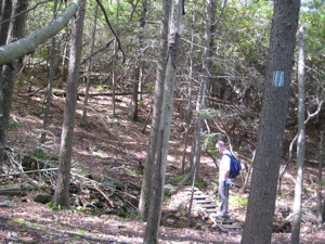
Then a quick zig-zag descent into some pine and dead hemlock…
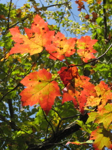
Then up through a nice maple stand…
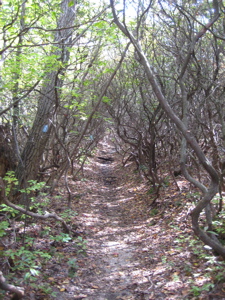
And then a long stretch through an arbor of mountain laurel.
This last bit through the laurel is really neat. The stand is very old, and very thick. When walking through it, one almost has the sense that the trees are closing ranks behind, and if you don’t hurry up, you’ll get swallowed up. But then, just before you do…
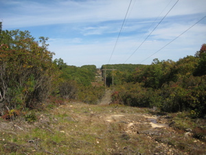
It’s power line time again!
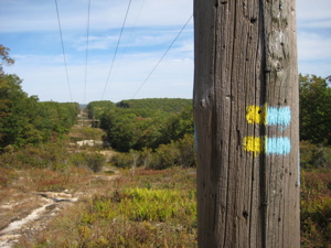
And again!
This last power line is also where the Bear Hill Loop starts back south (hence the blue/yellow blazes) – but I had a little ways to go to the end of my section. I crossed Bear Hill Road and then completed the unremarkable last little bit down to Brooks Road. As I was figuring out a way to prop my camera up for my finishing shot (that would be Asylum Reservoir # 2 in the background, by the way), a curious groundhog mosied right on by me, like I didn’t exist.
So where’s the picture? Well, I had the 10-second timer set so by the time it snapped, the groundhog was off in the long grass, laughing at me.
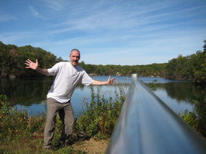
Finish!
For some reason, I loved this section. I had perfect weather during my favorite time of year, sure, but I think it was just a cool little unexpected bit of Connecticut I’ve never known before. Only about 4 miles to go and then I’ll be complete my first 50+ mile Connecticut hike (Appalachian Trail in 1997 pre-CTMQ excluded).
![]()
Continue reading about the Middletown Mattabesett Loop trails
Continue reading on to Section 9
CFPA’s Online Maps
CTMQ’s CFPA Trails & Blue Trails Challenge

 Jack Marshall says
April 21, 2009 at 5:07 pmSteve, I’m glad you enjoyed this trail section. I have hiked this trail since it opened in the early 70’s and it has always been one of my favorites. In 2007, I was fortunate to have been named the trail maintainer for this section by CFPA. Years ago, there were views from both the Chinese Wall and Bear Hill but, in the intervening years, the trees have grown to obscure them. Good news for the forest at the viewer’s expense, I guess. If you hike the trail when there are no leaves on the trees, you will discover many great views, including the Connecticut River and the Hartford skyline. As to the markers on Bear Hill, I believe the second was placed in the mid 80’s. At that time the feds did a geodetic(?) survey. They erected a tower at the summit about 15-20 feet high. You could climb up it and get a great 360 degree view. I believe that’s when the second marker was placed. I have read all your reports on the Mattabesett Trail and found them most enjoyable. Keep the reports coming.
 Eric says
January 13, 2014 at 3:59 pmHiked this section with a group of friends/family yesterday. Jack is correct in stating there are seasonal views as we did have good views of the CT river from the Chinese Wall. I also thought this section of the trail was a lot of fun…and I was surprised at how technical that one power line cut was. We were travelling in the opposite direction from when you did the hike so it was at the end for us…and it was a great way to end the hike before making our way to the “falls”.
 Jay Shock says
October 7, 2018 at 10:38 amI hike this section regularly, as well as the next section (near the reservoirs and out to River Rd.)
It’s easy to get lost on the Bear Hill section because there’s so many intersecting trails, including unmarked trails. And while it doesn’t cover tremendous acreage, the terrain and vegetation could be unforgiving if you wear yourself out walking in circles. And after dark? Forget it, stay put ’til sunrise.
There’s an unmarked trail off the Blue-Yellow spur trail that leads you into the far end of the Nature Conservancy’s Spiderweed Preserve. At one point, you have to bushwhack a short distance to get to the Spiderweed trail. I found it by chance. You just have to watch the hooligans on the dirt bikes, who seem to take great pleasure in raising hell with hikers and destroying the environment.