The Game Here is Hiking it All Efficiently – My Kinda Game!
Simsbury/Granby, 9 trails, variable miles, solo
October 13, 2008
[2018 Update: The CFPA/McLean have released updated maps which adds some of the trails I “found” and hiked below. I’m sure the blazes now also make more sense than described below. Just know that this was written in 2008. Also, this is one of those old pages with tiny pictures from a time when tiny pictures were all I had. Oh well.]
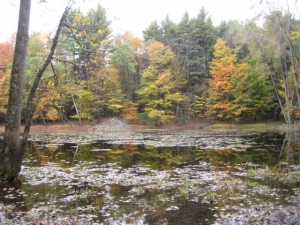
This write-up is going to be tough. A hike which involved many loops, parceled up trails, double-backs, a car spot change, and some bush whacking. The point here being that the Eastern section of the Refuge is rife with trails – there are TONS of trails and dirt roads here. I hiked the ones noted in the CT Walk Book, for no other reason than they were the ones in the Walk Book and I figure that’s what’s necessary for my CT Blue Trails Challenge.
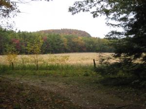
In doing so, I did become confused here and there because the usually very reliable maps were somewhat confusing as they don’t denote the other trails and roads on the property. If you are trying to be like me, as you should be at all times, I strongly suggest you print out the map of McLean to use in tandem with your Walk Book map. In fact, the Walk Book does say in the McLean introduction, “Only a sampling of the extensive network of trails here is included…”
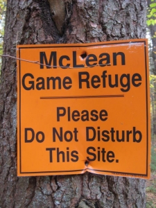
Oh – and believe the signs that tell you there are no bridges along certain trails. They don’t lie.
As always, I’ll attempt to present the trails I completed in the order of completion – even if it would be impossible and impractical to do them in this order – unless you are a weirdo completist like me. All mileages are one-way.
![]()
Blue/Orange/Red Loops, 1 to 2 Miles, Blue/Orange/Red-Blazed
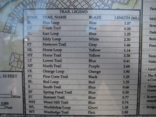
You sort of need a picture of how these trails work, but I’ll try my best to paint one for you. These loop trails all begin and end at the same place – along the road that enters the park off of Route 202/10. After parking and walking a short way towards Trout Pond (and passing the yellow blazed Horse Trail terminus), the blazes begin off to the right of the road.
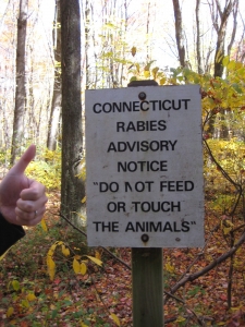
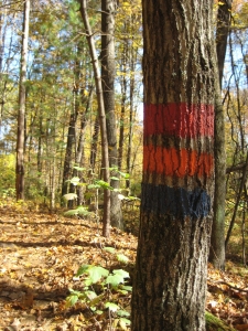
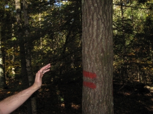
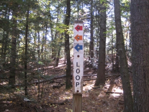
And these are not blazes you can miss – they are huge, bright, and quite clear. You’ll also pass a couple nice informational signs that give trail mileages (almost universally a bit different than the Walk Book’s) and helpful woodland hints:
The blazes here look like what developers do when they mark trees for felling; it’s really quite awful, but that’s the McLean tradition I’ve learned. Here’s how these nice little trails work: Imagine one big 2 mile blue-blazed loop with two shortcuts along the way – these shortcuts are the red (shortest) and orange trails. None of them present any hiking challenges and all three wind up along the same dirt road we started on, just a bit further west. Got that? Good, let’s get hiking. First, with all three trails together:
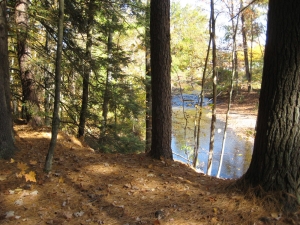
With all three trails still together, I passed the lovely little West Branch of Salmon Brook in a dense pine grove. After only a third of a mile, the red loop wimps out and heads left:
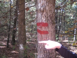
Goodbye Red Loop Trail
Note: This is the first set of pictures when I realized my poor, beleaguered little camera seemed to finally be dying, as the brightness levels are off the charts. The red loop continues alone for about a third of a mile back down to the road. I, however continued on what was now just the orange and blue loop:
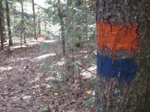
After a short jog, the trail does ascend a bit up to the summit of Stony Hill (380 feet). Along the way… eh, there’s really not all that much of interest, but I did take the following picture of a tree.
Once on top of the mighty Stony Hill, I took a much deserved break:
There’s a little side trail that took me to a little rock ledge with a very poor view of the Barndoor Hills to the southwest. It’s not even worth showing that picture.
But after walking down the ridgeline for a bit, the orange loop left me to the left and that is always worth a picture:
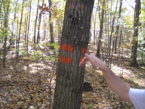
Bye-bye Orange Loop
Now it was just me and my favorite trail blaze: Blue. Ahhh, home again – even if the blue blazes here are gigantic, sideways, and darker than I’m used to:
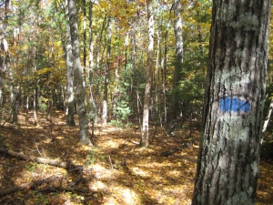
Now is as good a time as any to mention that my mother uses the idiom, “What in Blue Blazes?!” a lot. I can’t find the derivation of this and now it will haunt me. I quickly reached the dirt road/path which would take me back to the parking lot. However, I did have to hike the pink-blazed North Trail quickly out to where the Summit Trail heads off.
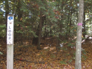
Northern terminus of the North Trail
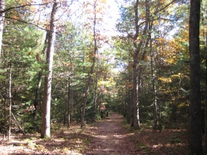
I did this because later I’d be on the North Trail coming up from the south and… oh you don’t care. Bottom line: I had to do it because I’m nuts that way. It was quick and short diversion and I was back on the Blue Loop in mere minutes, hiking down this wide, easy path:
I’d be picking up a few friends on my way back to the car…
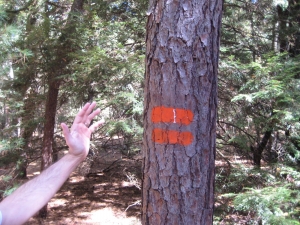
Oh, hello again Orange Loop!
Lookin’ Good Red Loop!
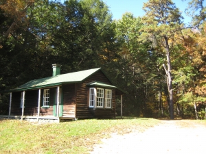
All three were back together again to hit the highlight of the morning: Senator George McLean’s cabin! George Payne McLean was born on a farm in Simsbury, Connecticut, in October of 1857. He grew up with farm chores and the rhythms of nature around him. Even as he grew out of the local school and had to commute by train to the Hartford Public High School, he had, first and last, to milk the cows. By 1881 he was admitted to the bar, and he soon entered politics.
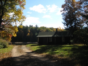
George McLean was elected to the State Senate and appointed District Attorney for Connecticut for the period 1892-1896 and afterwards resumed the practice of law in Hartford. He commuted to Hartford from his farm in Simsbury. In 1900 he was elected Governor of the state, and served for one term.
Exhausted and frustrated by his stormy term as Governor, he returned home in 1903 to refresh and restore himself, putting aside the public life and walking the woods and fields he loved so well. He then began to buy up some lands to the west.
The following factual information is from the McLean Game Refuge website:
In 1905 McLean came into an inheritance of over three million dollars from his Aunt Sarah, and he soon used some of it to purchase land in the “western highlands” of Granby – mostly poor farming land – and in nearby sections of Simsbury. Over the next years he added the area around Spring Pond, the head waters of Bissell Brook and land along it and Salmon Brook, which he dammed to form Trout Pond. In the last decade of his life he added both sides of Salmon Brook, the trap rock ridge and other acreage around the Barn Door Hills, and the site of the current picnic area.
McLean’s political prospects were blossoming. In 1911 he was elected to the United States Senate, where he served three distinguished terms, which included the First World War. During this period his deep interest in wildlife conservation inspired one of his many Senatorial triumphs, the Migratory Bird Treaty Act of 1918.
Between sessions of Congress, he would return to his beloved land, inviting friends and colleagues, including three U.S. Presidents, to join him on the ponds and trails of what would become his Game Refuge. He chaired the Committee on Forest Reservations and Game Protection in two Congresses, perhaps foreshadowing what he would do with his own land in the future. In 1929 he retired to his home in Simsbury, where he died June 6, 1932.

There’s more to the McLean story, which you can read elsewhere. He was a pretty cool guy and very forward thinking. And, most importantly, his land gave me my first bears in the wild sighting the day prior, so he’s tops in my book. Anyway, his cabin is not open to the public, but does appear to be appointed with some old stuff inside.
After the cabin, I returned to the beginning of the loops, crossed the bridge and hit the Horse Trail which I’ll describe further down below.
![]()
Firetown Trail, 1.7 Miles, Gray and Sometimes Purple-Blazed
I hopped into my car and ate some lunch after the excitement above. I still had a ways to hike, but stopped at the wonderful Neckers Toy Store to buy Damian a little toy rake so he could help out with the yard. This car hop wasn’t really necessary, but I like to be as close to the car as possible on days like this when he is at daycare rather than home with Hoang – in case I get called to fetch him for some reason.
After a short drive, I was in the area of Simsbury north of the place historically called Firetown. Firetown was a small settlement located about 2 miles northwest of Simsbury center. It extended west to Old Farms Road. Various stories suggest its origins may have been based upon furnaces or forges in the area. Off Firetown Road at the border of Granby across from the McLean Game Reserve are the ruins of some earlier stone buildings which appear to have used the water power to run a colonial manufactory.
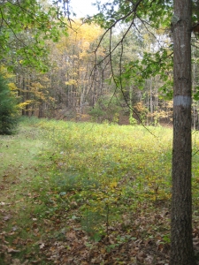
I had hiked the western portion of this trail the day prior on an out-and-back foray, knowing I’d be doing a loop later with South Trail. I started at the little parking area along Firetown Road where the trail crosses an open field and marshland area. Immediately thereafter, it enters a nice, open pine grove.
I passed the East Trail on the left and pretty much speed-walked to where I needed to go. Here along the western half of Firetown, the blazes are gray. I can’t imagine they are fun blazes to follow in inclement weather, but the trail is wide here at least. Once I reached the intersection with South Trail, I turned back to my car.
Which brings me to the next day (that being “today”). I had parked at the Y-intersection of Simsbury and Barn Door Hills Roads which affords plenty of parking. I’d be making a large loop from this spot, and since it reminded me of the spot I parked in over in New Britain along the Metacomet Trail where I got ticketed, I was a little bit uneasy. I forged on.
The trail here is actually blazed a purplish-pink, which is what the North Trail is blazed, which my map told me ends/begins right where I parked as well. It looks like “they” extended the North Trail to the South Trail intersection, perhaps because the Firetown Trail here is not so easy to follow and someone said, “Hey, those light gray blazes become invisible in bad weather, and that’s pretty stupid.”
Who knows.
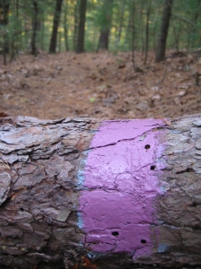
Purple painted over gray…
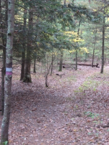
…Gray AND Purple…
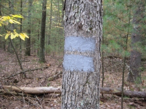
…Gray-Gray terminus
I ascended a little rise and then descended down to a little kettle pond. I passed a weird “private property trail” with blazes (who blazes private trails?) which headed north up towards those Barndoor Hills. I quickly came to the South Trail intersection (where the blazes turned gray) and bid the ol’ Firetown adieu.
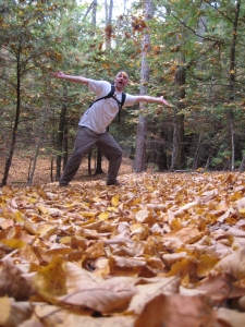
Adieu, Firetown!
![]()
South Trail, 0.7 Miles, Not blazed, then blue-blazed
See this sign?
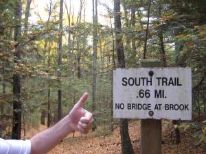
Words mean things. Especially words that were purposely written on signs in woods for permanence. I thumbs-upped the sign and made my way down the hill through the yellow wood. I immediately noticed trees like this:
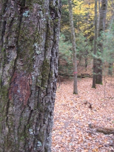
If you look closely, you can discern that there once was a blaze there, but now it is gone. The trail, however, was easy to follow despite the leaf litter. I trudged onward. Plus, I’d learned already that the blue-blazed trails here were the most poorly-blazed and least traveled. I continued trudging.
I quickly came to Bissell Brook and checked my pictures on the camera. “Oh, so that’s what ‘NO BRIDGE AT BROOK’ means,” I said to myself. The crossing was much wider and deeper than I’d imagined. In addition, there were simply no rocks to aid my crossing at all. I walked to the left a bit and saw this:
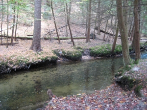
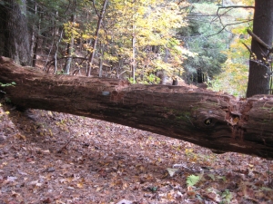
Nope. Nothing doing there. I then walked down the brook the other way and found a tree felled across the cold currents. It was partially submerged but it would have to do:
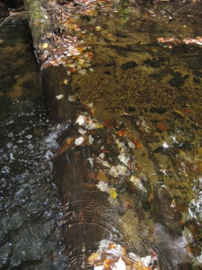
I had several miles to go and really didn’t feel like doing the whole thing with soaked feet, so I tried to conjure up my youthful days of supreme balance and nimble feet. I was actually quite successful, only getting about half my foot wet:
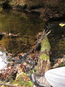
Once on the other side, the nice blue blazes reappeared and carried me out to Barndoor Hills Road:
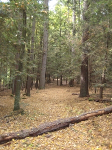
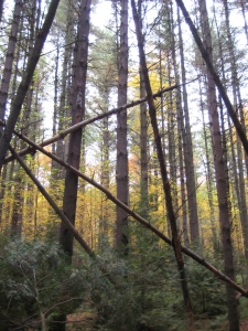
There was nothing very remarkable about the rest of this little trail, except there was a short section of dead hemlocks with new-growth pines in the understory and yellowed trees all around. There was something ethereal about the spot somehow:
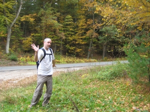
Now I’ll go look up what “ethereal” actually means as you enjoy this somewhat odd picture of me finishing South Trail:
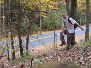
Wet foot finish!
Addendum. “Ethereal” is not the right word. Is there a word for “creepy beautiful?” Maybe “Devon Aoki?”
![]()
Horse Trail, 3.4 Miles, Yellow-blazed
Having already done the northernmost mile of this trail earlier, and having been supremely bored with it, I didn’t hold out high hopes for this trail. After all, if horses could do it, it must be flat and easy. My assumption was correct.
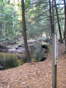
The trail seems to traverse a flood plain as it is totally flat and a bit swampy in places. It’s not even described in the Walk Book, despite being a heavily weighted ink trail on the maps. Seems like a good time for some local geology insight:
The land of the McLean Game Refuge was shaped by the glaciers of the ice ages. Rounded highlands of ancient crystalline rock and jutting trap rock ridges, sandy flats and kettle ponds, where mountains of ice melted, define the geological footprint of the Refuge. Draining two tributaries of the Farmington River, Bissell Brook and Salmon Brook, the land offers a variety of terrain. As the authors of a Yale School of Forestry study in 1981 put it, “The wildlife and watershed value of the Game Refuge may have been obvious to Senator McLean, although it was probably pure chance that he assembled such a remarkably diverse landscape.
Yup,, horses use this trail.
One interesting thing along the Horse Trail is the abundance on non-trail trails. There are a few that are all handsomely marked, “No Trail.” They seemed to all go out to Canton Road although one went down to Spring Pond. A trail is a trail, whether you tell me it is or not.
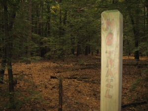
But it IS a trail
Owing to the lack of features, this trail seemed to take longer than I’d expected, but I eventually hit the Creek Trail and the place I’d hiked to earlier.
“You can lead a hiker to water…”
Horse Trail: Done.
![]()
Creek Trail, 0.3 Miles, Blue-blazed
Ah, another of McLean’s poorly marked blue trails! This super short little connector merely descends, crosses Bissell Brook (by way of a bridge this time), crosses a woods road, and hooks up with the North Trail. Ready? You sure?
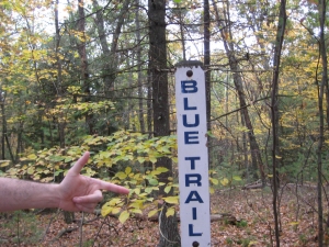
The clear signage belies the lack of blazes henceforth
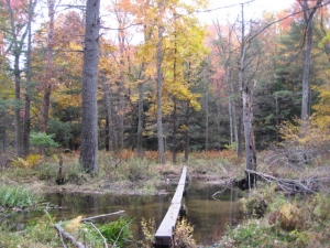
A rickety bridge, but a bridge nonetheless.
Creek Trail: Complete.
![]()
Summit Trail, 0.8 Miles, Blue-blazed
After traveling north a little ways along the North Trail from the Creek Trail, I came to where the Summit Trail leaves that main route. Got all that? You know how I’ve been saying the blue trails here are the hardest to follow? Well, the first bit of this one isn’t blazed at all, but rather marked with pieces of red plastic tied to trees. Seriously. Proof:
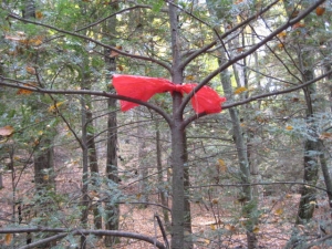
This oddness continues until the trail hits the main dirt woods road (the same one that the colored loop trails traverse earlier) where there is a helpful sign at least:
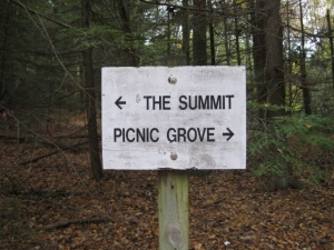
I say helpful in the truest sense as there is only ONE blue blaze all the way to the end from this point! Sure it’s easy to follow, as you simply need to keep going up, but it’s still a bit annoying. I followed the old road for a while until a smaller trail cut off to the right and went straight up the hill.
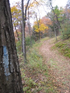
The ONE blaze
The hill here is the 580 foot tall easternmost of the Barndoor Hills, called interestingly enough, “East Barndoor Hill.” The unmarked trail rises steeply for a very short stint and to borrow a phrase from the Walk Book, I clambered up some rocks to reach the summit.
A view! An honest to goodness view! Here it is, the only true view in all of the Refuge:
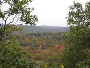
Too bad the clouds had rolled in
That would be the other two Barndoor Hills if you were wondering. I poked around for a while savoring the scenes before clambering back down to the old road. This road, by the way, descends down the hill to Barndoor Hills Road to get very near the Refuge headquarters. There is also a parking area and a picnic spot down there, which I can only assume is very pretty.
I, on the other hand, chose to take a far riskier route and bushwhacked down the steep southern slope of the hill to rejoin the dang North Trail again. This shortcut was actually very fun and I highly recommend it to anyone else with a little bit of clambering skills.
How about a McLean quote? Senator McLean wished his refuge to be “a place where some of the things God made may be seen by those who love them as I have loved them and who may find in them the peace of mind and body that I have found.” That’s nice… Summit Trail: Done.
![]()
North Trail, 2.4 Miles, Purple-blazed
This is it! The final trail not only of the day, but of the entire McLean Game Refuge! [2018 Update: Not really.] At this point, I think we’re all a little tired of this particular post. The North Trail has cropped up in several previous trail descriptions above. I’d already done the northernmost piece of it during my morning loop, then the next section below that between the Creek and Summit Trails. Now I only had the last mile and a half or so to go before reaching my car again.
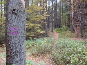
Much like the Horse Trail on the other side of Bissell Brook, the North Trail meanders along a broad, flat area below the Barndoor Hills. My bushwhack down from the summit was by far the most exciting part of this hike, as there were some cliffs to negotiate on the way down.
Along the way I passed another blue trail – ironically this one well marked but not highlighted on my map – which led down to the Spring Pond Cabin. I passed a large kettle pond and somewhat strangely, a cornfield.
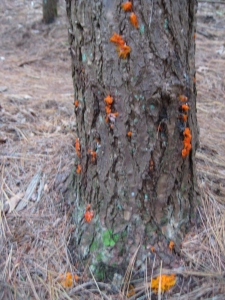
Fluorescent fungi
And, soon after, I reached Barndoor Hills Road and my car – without a parking ticket. (Remember, at this point the trail continues through the Y intersection and continues along as the Firetown Trail South – but still with the purple blazes of the North Trail for a ways.
McLean Game Refuge Trails: Done!
![]()
Western Region
McLean Game Refuge
McLean Map

 nancy marinone says
January 31, 2012 at 11:56 amVery entertaining to say the least, I loved your bear story. Luck was on your side, with mom & her cub. I’m sure they see dozens of people that never see them. I’d love to have an encounter like that and make it out unscathed. this website Rocks. thanks so much, Nancy Marinone
 Henry says
January 12, 2025 at 9:59 pmThe land manager must have read this post, and changed all the blazes to white. LOL. I got my feet slightly wet in the same brook! About a month ago, when I did the Eastern section, there were some logs over the brook that were completely iced over, but I didn’t see any other options. I tried to shimmy along from a seated position, which did not work at all. My feet were quickly submerged at the edge of the brook. I looked to the left, down the way, and found a log with very little ice, that worked.