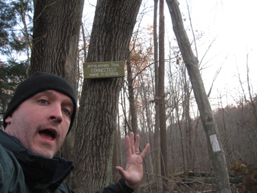
Appalachian Trail
Connecticut Section, 56.6 Miles
Sherman, Kent, Sharon, Canaan, Salisbury
November 11, 2011 –
Take me straight to Section one!: Hoyt Road to Route 341

I’m going to write this section a little bit differently than any of the other hikes on CTMQ. After all, this is the AT and the AT deserves special status. While I think it’s pretty cool that you can now hike from Guilford along the shores of the Long Island Sound up to Mt. Monadnock in New Hampshire via the New England Trail, you can’t beat the AT for wistful dreaming while hiking.
For you can head north to Katahdin in Maine (CTMQ Katahdin hike here) or south to Springer Mountain in Georgia. (I know, you can now actually go further north if you want on the International AT, but whatever). The AT is also special to me because, well, because I hiked the whole dang thing in 1997.
Furthermore, the CT section of the AT always gets dissed in every book about the AT in existence – trust me, I’ve read a ton. Our main trail town, Kent, is almost universally despised as the worst trail town from Georgia to Maine. Note: I love Kent, but not as a trail town. Hitched rides are nearly impossible to come by in CT, and Kent, Cornwall Bridge and Salisbury are all relatively expensive and simply not super hiker-friendly. This is just a fact, sorry. Also, we don’t have the highest peaks or trail celebrations or… I don’t know. Maybe it’s that most thru-hikers roar through CT in 3 days. I’m going to fix that.
I’m going to write my multiple hikes as one long hike – like a thru-hike. Granted, if I had the time, I could do all of CT in a long weekend, but I’m not going to do that. My “one” hike will consist of many hikes in many seasons and different weather. Since I’m doing it alone, I’m pretty much hiking it twice (out and back to my car) AND I promise not to bore you with the logistics of how I do all that. No, just one smooth, long hike… In a sense.
Note: I’ll still split up the sections on the site for two reasons: One, so your page loads don’t take forever and two, because I’m going to follow the CFPA Walkbook sections. It just makes sense.

It’s interesting that the CFPA includes the AT in their Walk Book even though it’s not really under their purview. (It’s managed by the Connecticut chapter of the Appalachian Mountain Club). But it most certainly does have a history with the CFPA.
Most of the original route in CT was laid out by Ned Anderson, CFPA Chair of the Housatonic Valley section from 1929 to 1932, when the AT was actually one of the early blue-blazed hiking trails. The trail enters CT from the south in Sherman, then exits back to NY for a spell and then continues back in CT north up to Sages Ravine, just north of Salisbury.
Although CT’s section is short (third only to Maryland’s 40 or so miles and West Virginia’s 4), it contains a bunch of things unique to the trail. Should I drop them on you now, or make you keep reading? Hint: It contains two “only in CT” things and one longest. Care to guess what they are?

(Yes, I know, almost every state has their own unique things… My two favorites are probably the only time it passes through a building – you can scroll down to see Hoang standing at the doorway on this page and the only time it uses a mode of transportation – a canoe trip in Caratunk, Maine.)
One last bit of introductory information is something many hikers in Connecticut don’t realize: The AT in CT today is much more western than it was for its first 50 years. The AT used to travel through Cornwall but no longer does – and what is now the Mohawk Trail is actually the old Appalachian Trail. I know this was done for very valid reasons, but I wish it wasn’t. Although the Mohawk has a bunch of road crossings, it’s a great trail and summits 6 1200 foot mountains. It does connect with the AT at Cornwall Bridge and again up in Salisbury, so you can make a rather awesome long weekend hike out of the big loop.
Follow along as I hike the AT in the CT.
Section One: Hoyt Road to Route 341
![]()
CT AMC
CTMQ’s CFPA Blue Trails Challenge
CFPA’s online map.

Leave a Reply