Falling Into Winter Past an Old Spring in Somers
Northern Connecticut Land Trust: Bald Mountain Preserve, Somers
December 2023
Bald Mountain in Somers, the highest point in the town and the highest point along the Connecticut River Valley in the state, is worth your time. No, not because it’s the highest point in Somers as well as the highest point along the Connecticut River Valley in Connecticut, but because the town of Somers and the Northern Connecticut Land Trust have done a great job with the property and its trails.
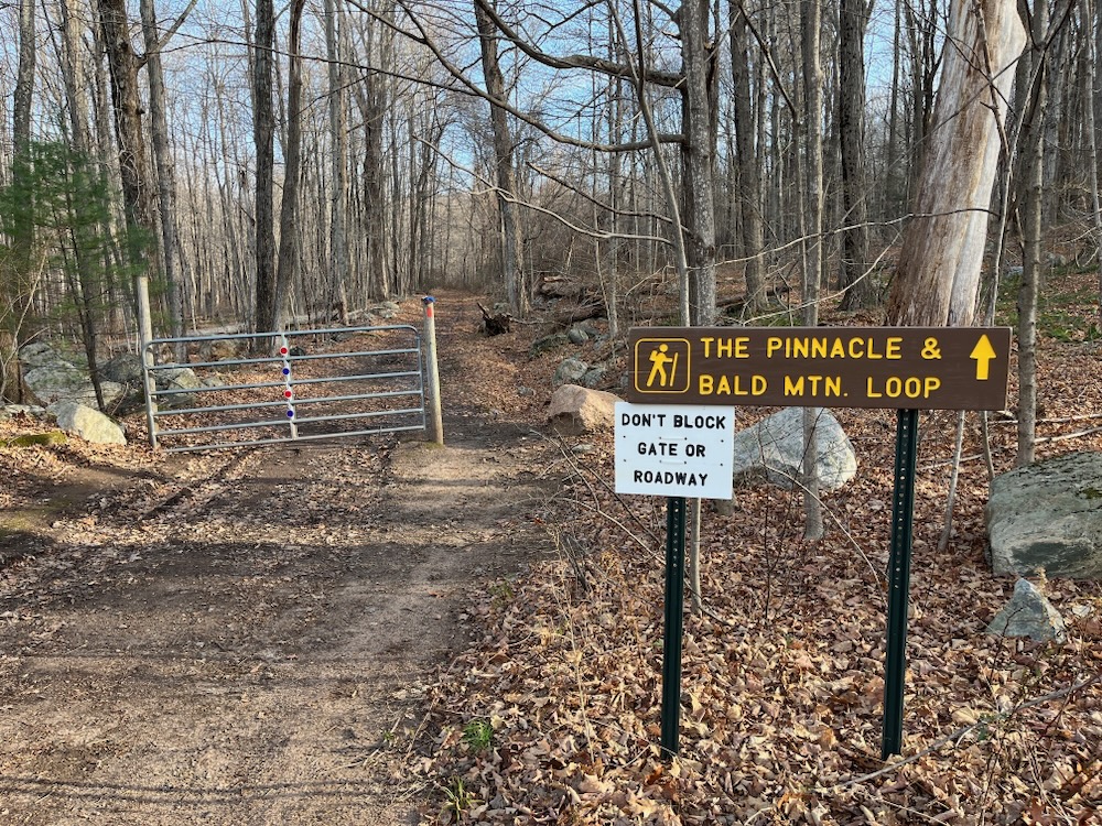
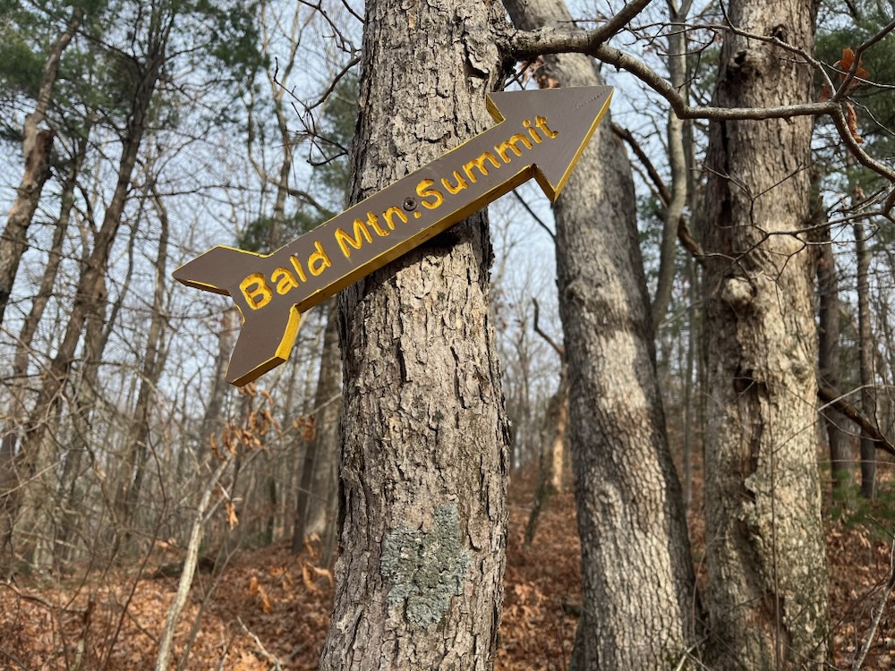
In 2000, Somers decided to buy the dang mountain and save it from developers. They’d encroached on its flanks and I guess they would have kept building if not for the town’s protection. The Shenipsit Trail used to summit the mountain and continue north across the Pinnacle up to the Massachusetts border – also snaking through Camp Aya-Po – but it was moved a tick east at some point in the early 2000’s I believe. And I also believe that move was necessitated by property rights and new housing on Bald Mountain’s southern and western sides.
Here is an old description of the trails here:
There are two ways to explore the mountain – an easy route, and a more demanding climb. The easier route begins at the end of Scully Road, where the pavement turns to dirt and a land trust sign and large gate greet explorers. The flat, dirt portion of the road twists past stone walls and large trees and a neat privately-owned cabin. The road eventually intersects with the Shenipsit Trail before traveling another mile and ending at a stream within the state forest.
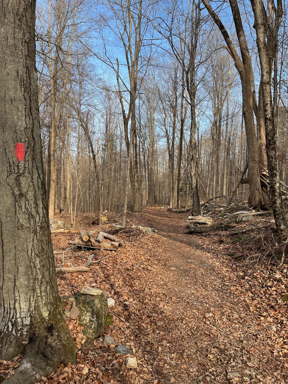
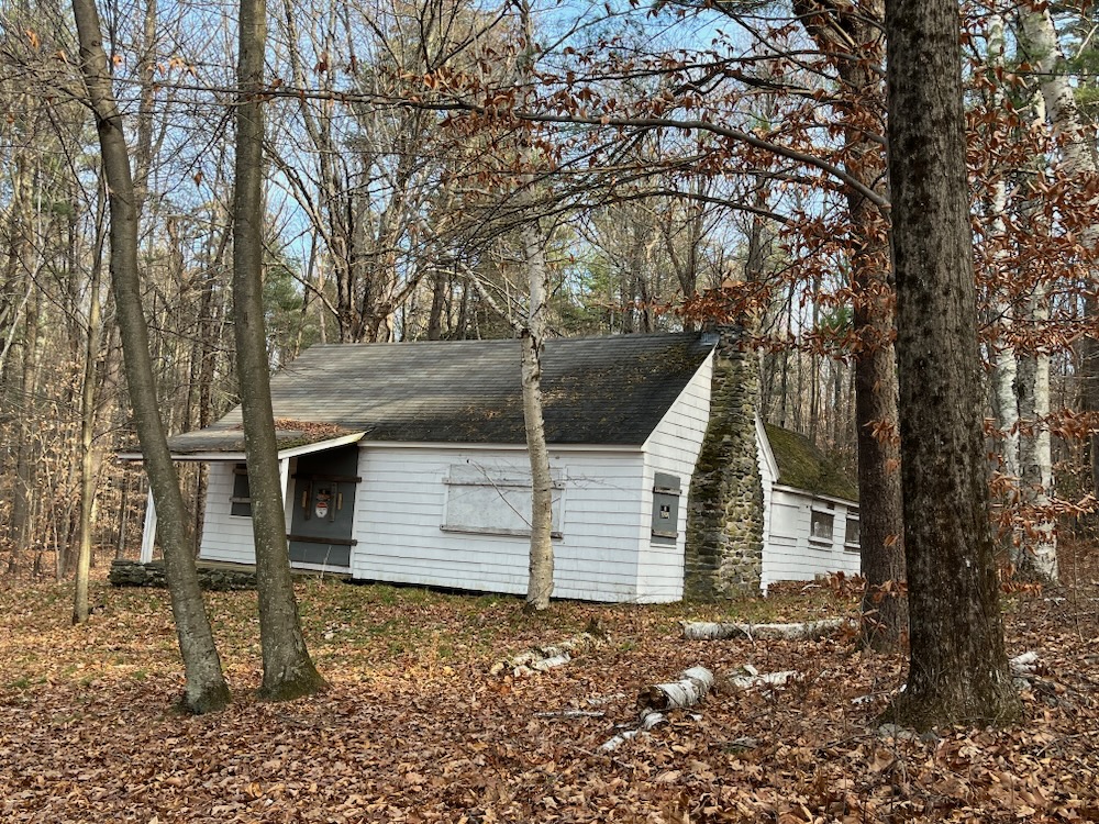
Okay. Today you still want to park at the gate on Scully Road. There’s still a large land trust sign. The “privately-owned cabin” seems completely abandoned now and you’ll never intersect with the Shenipsit Trail here. You’ll intersect with the former Shenipsit Trail. You have zero reason to continue straight on what is called Scully Road though. None.
(Update: the cabin is still privately owned and despite appearances, is not abandoned, according to my friend who lives very nearby in 2024.)
The second route is a bit more strenuous and starts at the beginning of Bald Mountain Drive. The trail immediately begins an ascent to a deep pine forest. Although the trail levels out briefly, another steeper ascent awaits and runs up to the top of the mountain, where breaks in the foliage give visitors a vision of what the view will be in a few weeks.
There are houses there now, but this is describing today’s Old Spring Trail which now begins at the gate.
Both routes link to the Shenipsit Trail, a 41-mile-long path that runs from the Cobalt section of East Hampton to the Massachusetts border. The trail takes visitors either up to the top of the mountain or down to the old road. There are also plenty of unmarked side trails to explore.
Again, no they don’t. They now form a nice 3-mile loop, which uses some of the old Shenipsit Trail… which hasn’t hit the Massachusetts border in decades. There are still a bunch of unmarked side trails, but most of them are in the Shenipsit State Forest to the east and south of here. The trails are now very well blazed and signed.
Sorry for the boring trail history lesson… but I can’t help it. I know it’s one of those things I enjoy more than the next guy. Alight, let’s hike already.
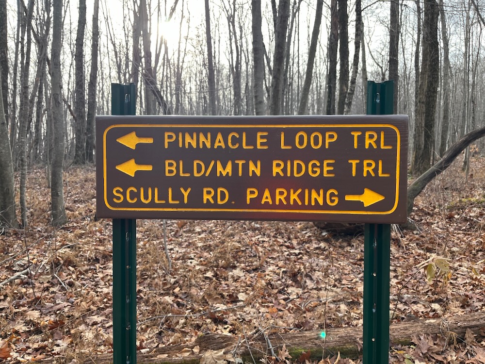
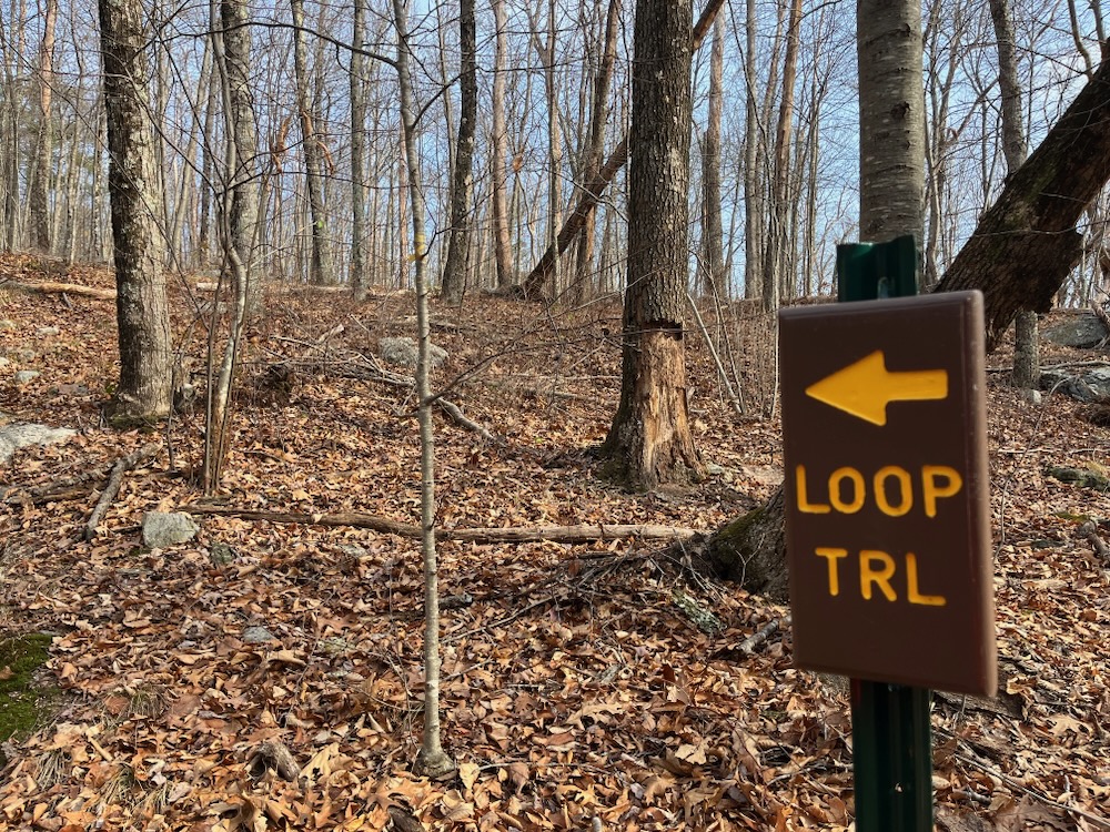
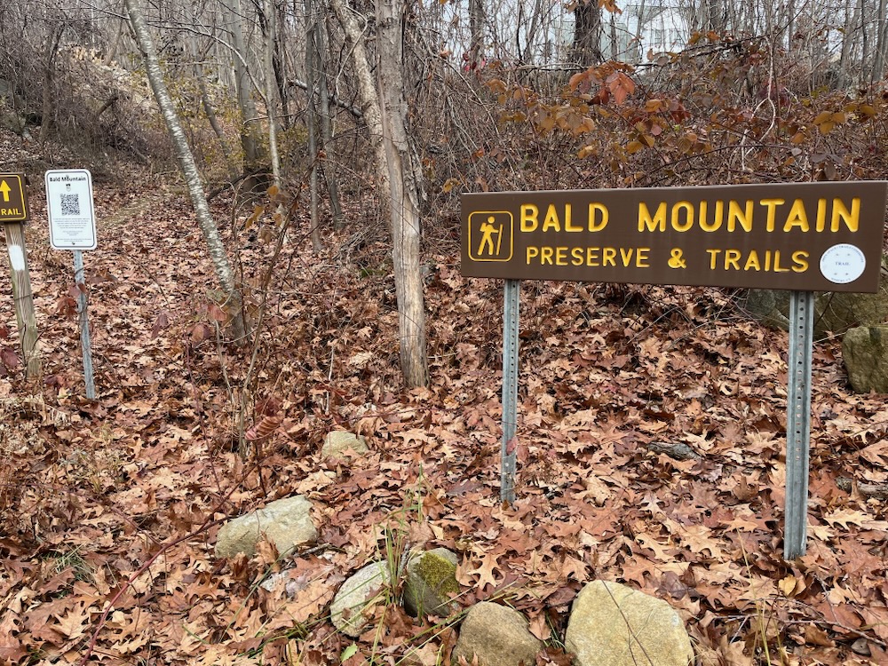
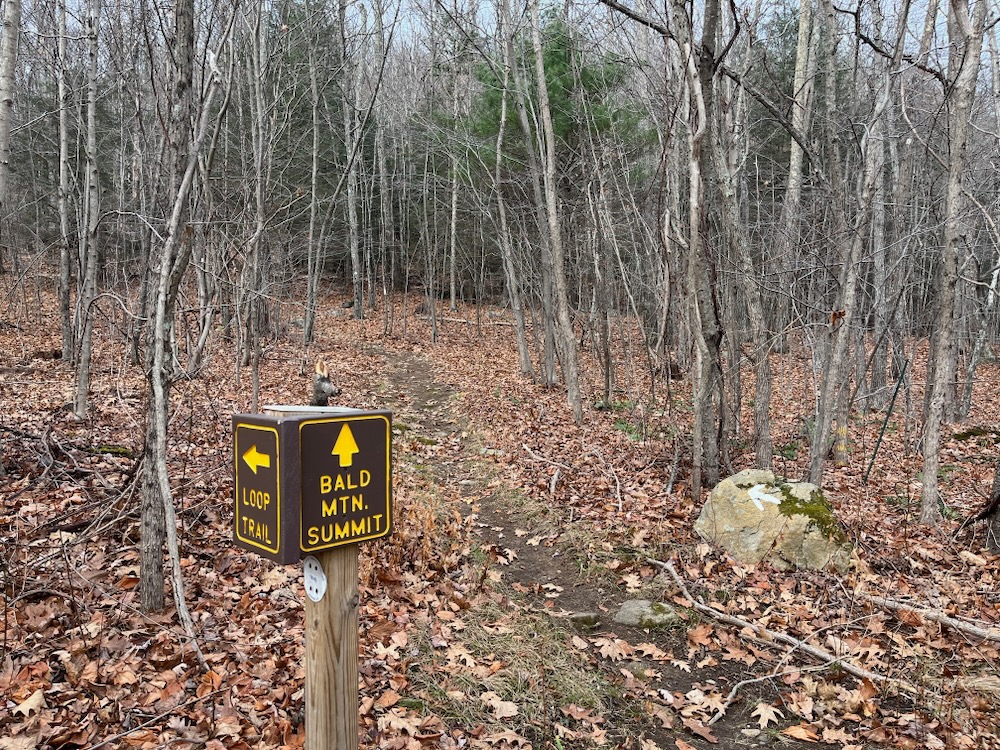
This place does not lack for signs
There are still two places to start from. The aforementioned Scully Road halfway up the mountain and along County Road on the southern side. You’ll want to park on Scully, trust me.
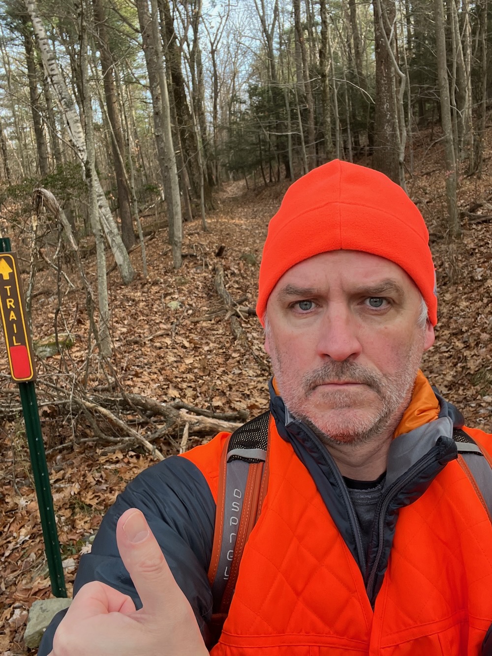
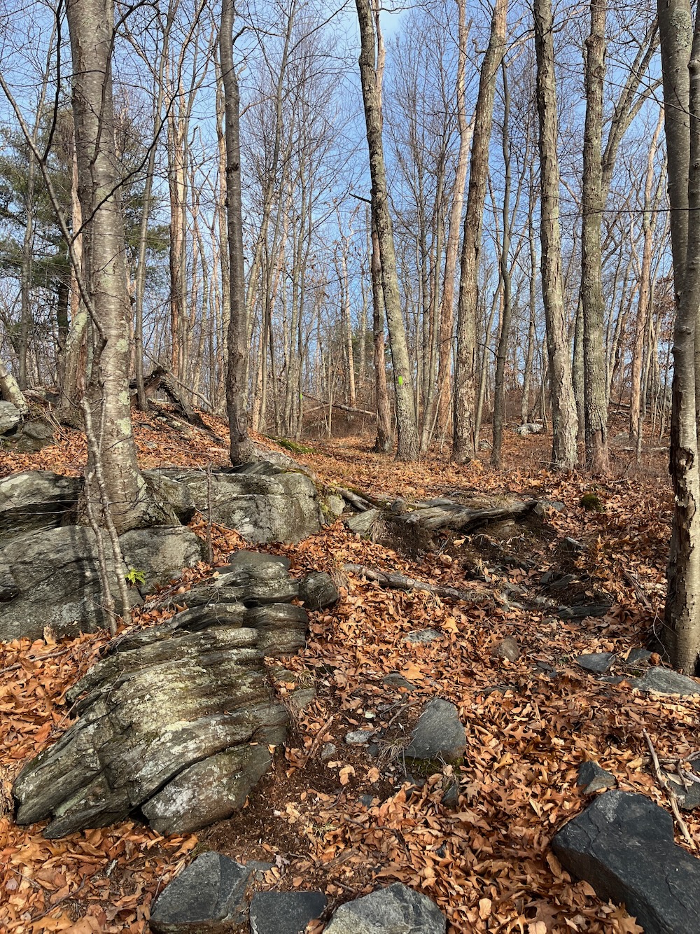
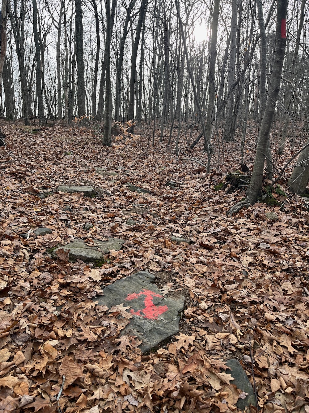
I walked the big loop clockwise, which took me straight down the old road at first. These woods are legally huntable and since I was there on a Friday morning… I wore my blaze orange. Ten minutes down the red-blazed trail I noticed a hunter off in the woods and gave him a friendly wave. He waved back. As the trail began climbing a bit, I passed the old cabin and came to an intersection shortly thereafter.
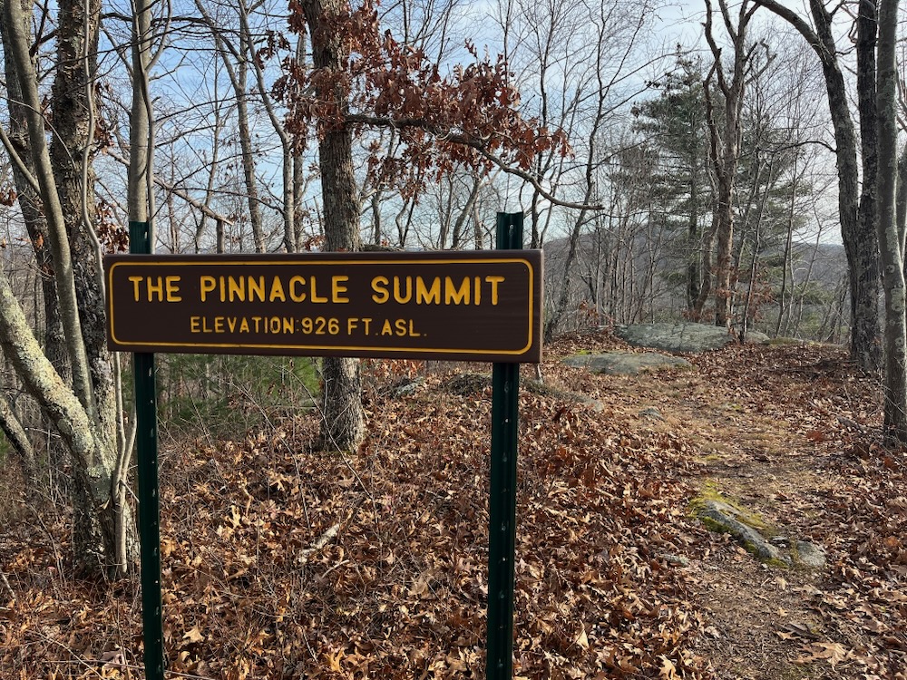
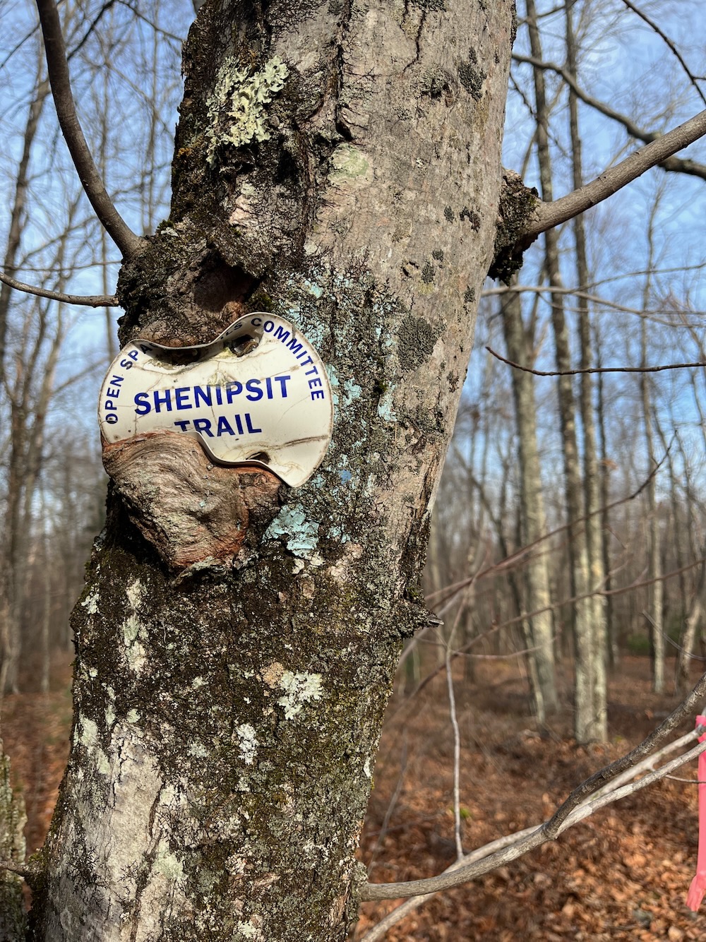
Signs pointed towards the Pinnacle Loop, a light-green blazed trail. Of course I walked it. This was where I first noticed old timey Shenipsit Trail markers on the trees. It’s also where I noticed that the NCLT likes to put signs at places that don’t really need signs. Like “The Pinnacle.” There is no view, even in winter, and the climb to get there was… like… 30 seconds at most.
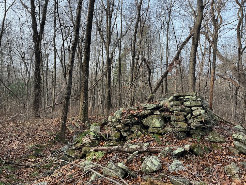
This half mile loop is cool though, and if you make it to Somers, and make the drive to the end of Scully Road, and walk these woods… you might as well do the loop. It’s all officially in the State Forest, which means that there are old woods roads and such. Just stick to the blazes and you’ll be fine. There’s an old foundation and incredibly well-built stone wall here too, as I made my way back to the Bald Mountain Trail again.
Wait, I guess it’s called The Ridge Trail. And from this point, heading south, it lives up to its name.
In other words, I followed the ridge. Much of this portion was the Shenipsit of yore, but I think the new trail planners weren’t afraid to improve on the old trail a bit. However, as I approached the Bald Mountain summit, I found myself on the old S’nip trail rather than the newer trail. Nostalgia? Or the fact that I swear the 1,121 foot summit of Bald Mountain is along the old trail north of where the new trail and sign claims it to be.
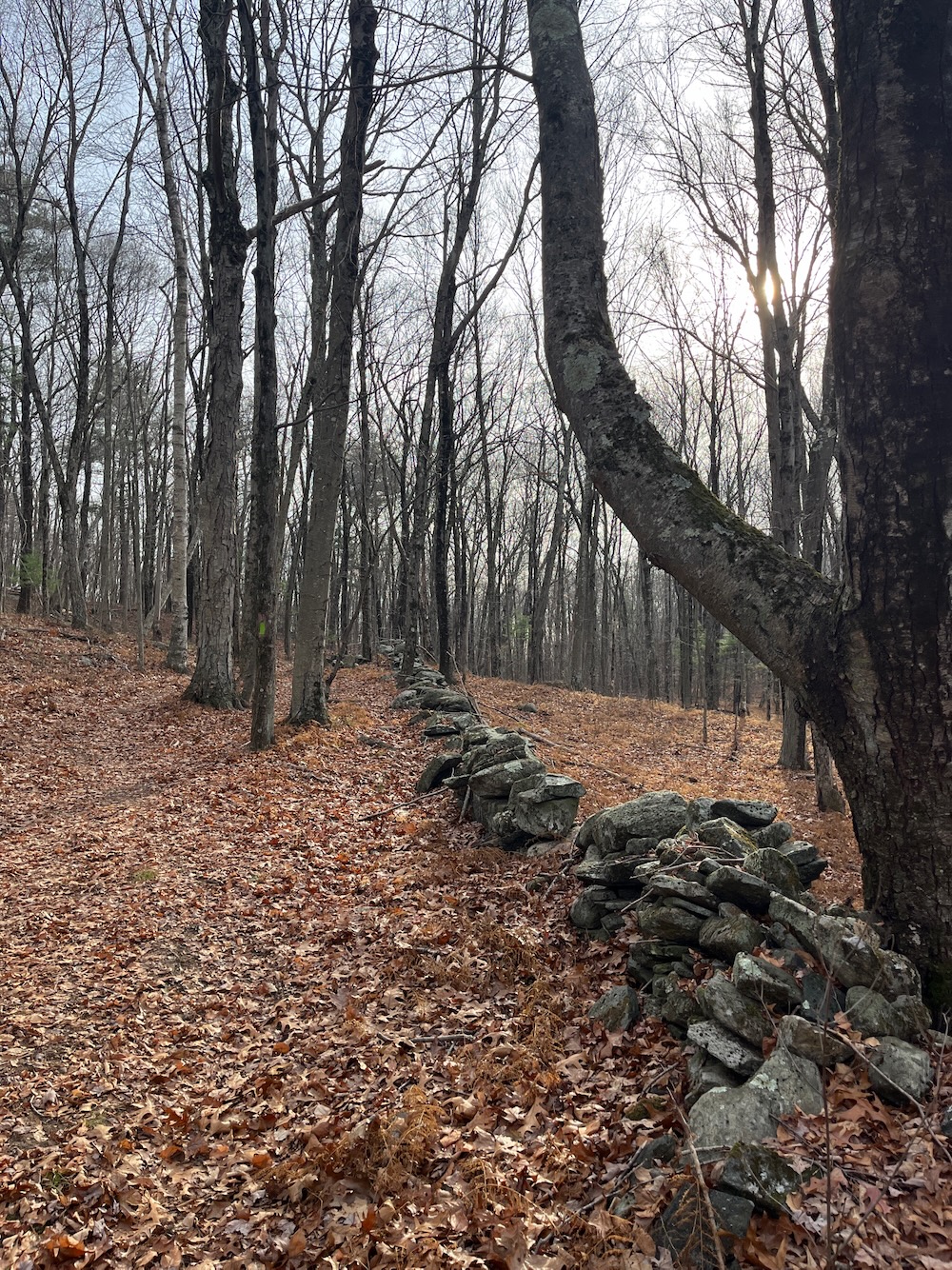
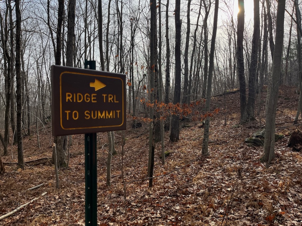
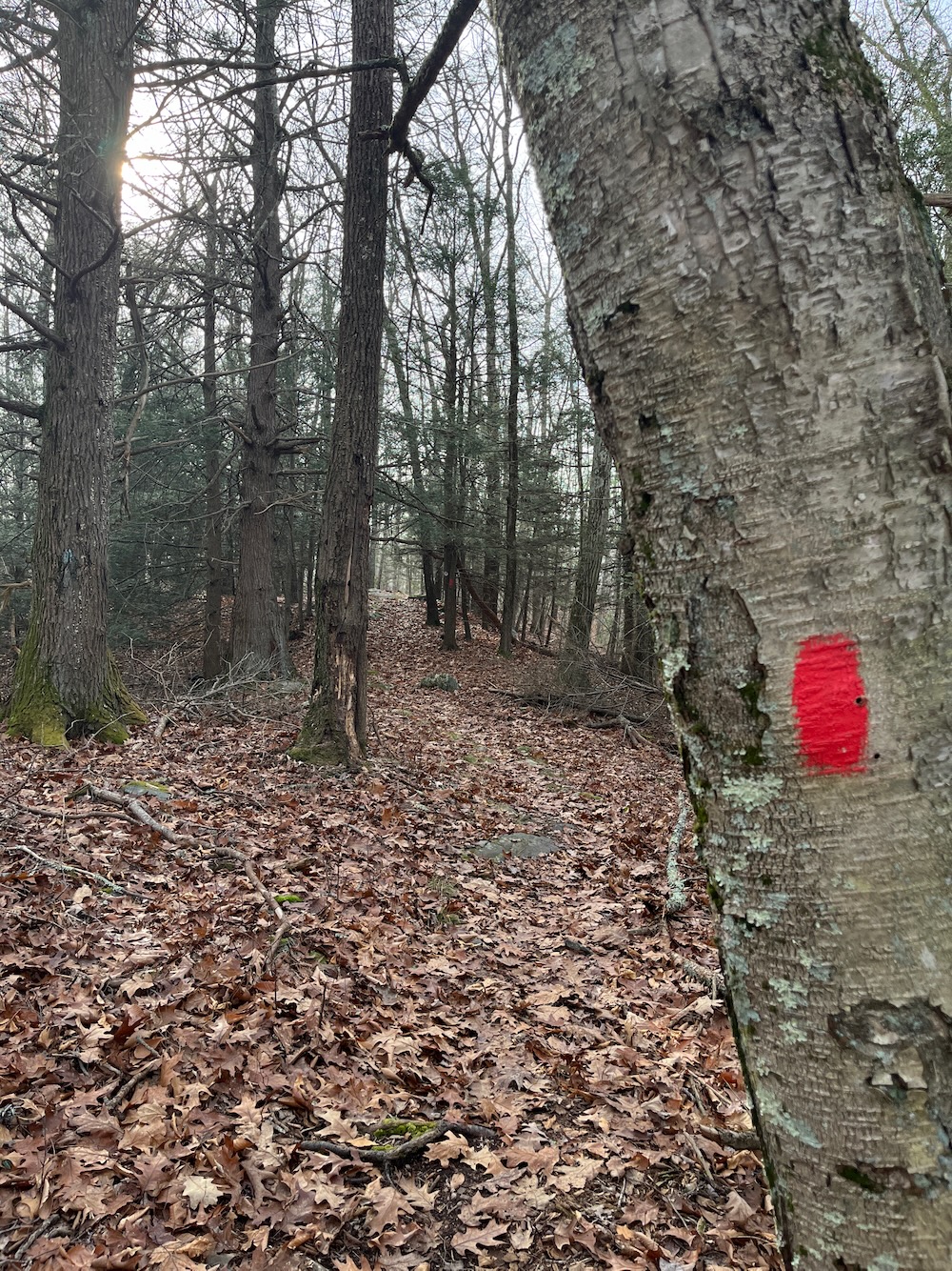
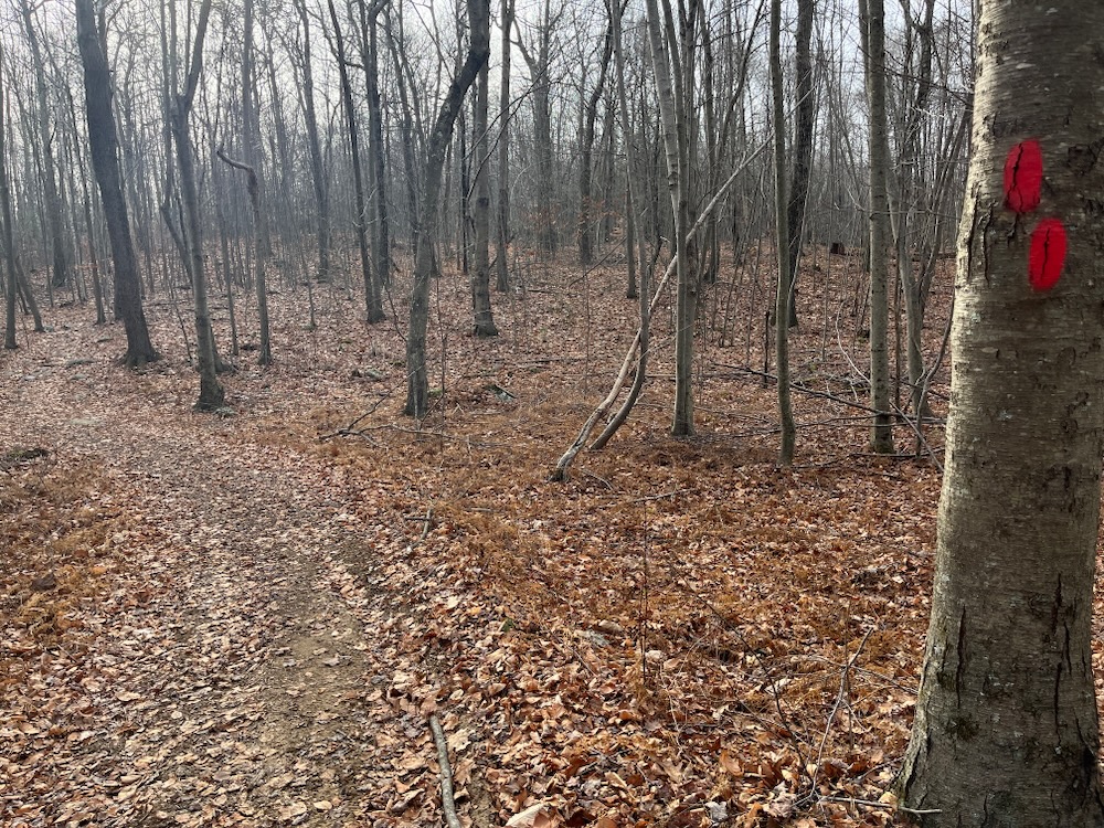
I don’t hike with an altimeter, so I can’t say for sure, but man, it sure felt like the sign is about 10 feet lower than the hump a couple hundred meters north of it.
The junction with the white-blazed, tow of Somers-owned, 1.25 mile Bald Mountain Loop Trail is here as well. This path descends sharply to County Road and has been here for a long time. It appears on all the old maps I can find. I walked down it for a while, realizing it was a silly hike to do since it generally goes to where I was going and also because I’d be checking it out from below later anyway.
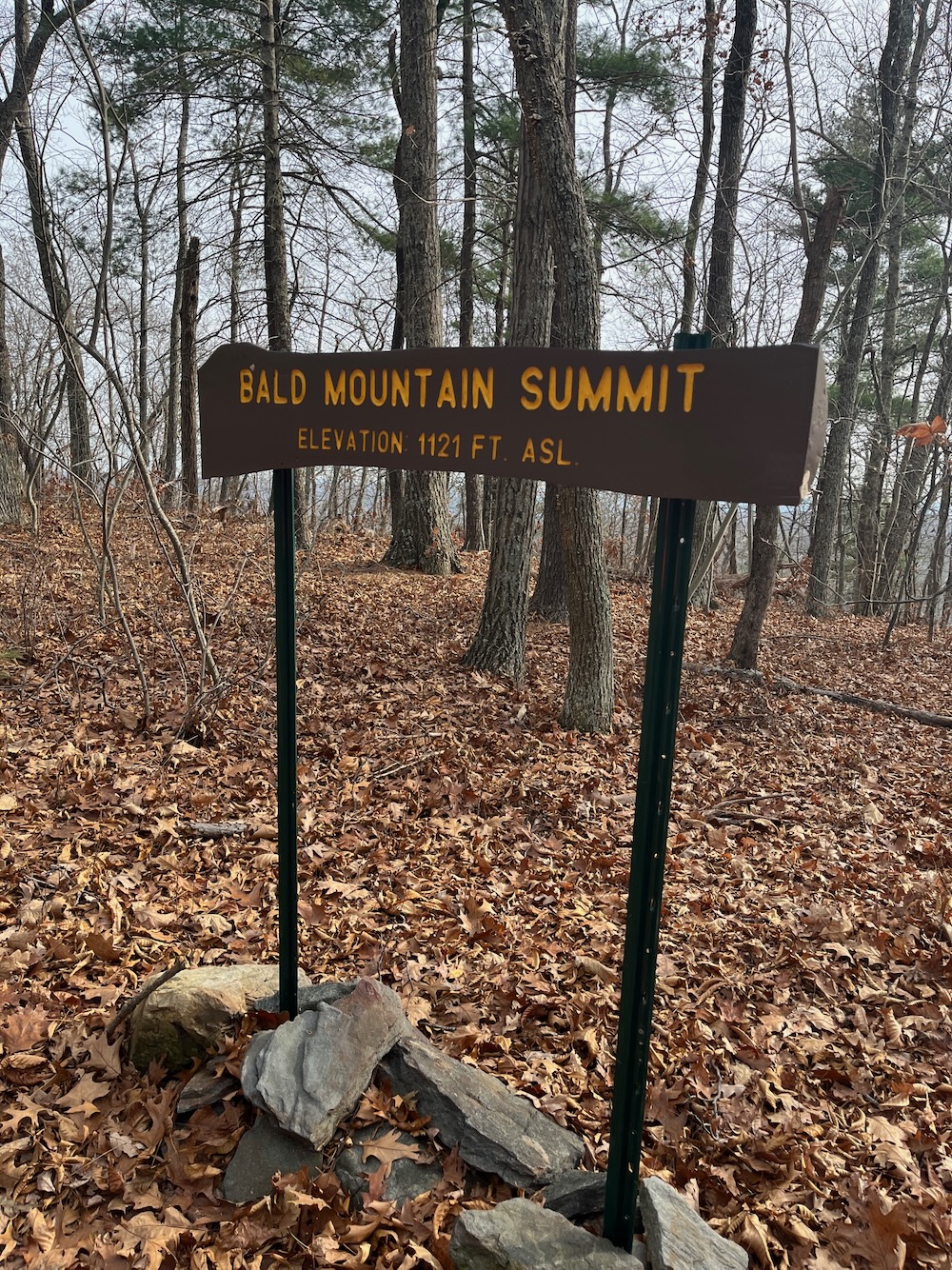
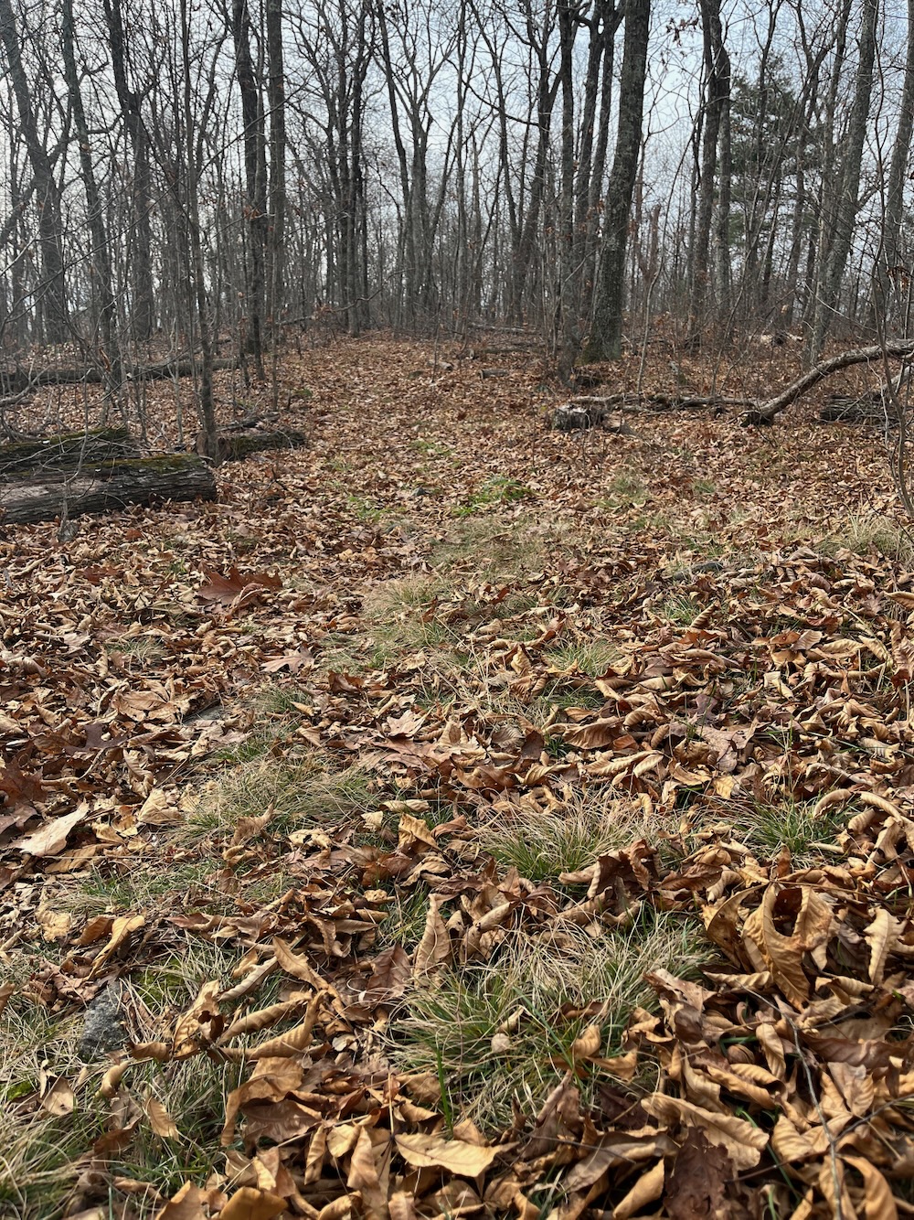
Hm. Do the grasses here point to a treeless time in the past; hence “Bald Mountain?”
If you’re curious, Soapstone Mountain’s summit is 46 feet lower than Bald Mountain’s. The fire tower there still doesn’t get you about 1,121 though. Come here. Stand atop Somers. Feel good about yourself.
Later, I drove around to the trailhead on County Road and began that climb. It’s the weirdest thing… County road is not paved but there is a whole new neighborhood of large houses along it, right around the trailhead. An easement takes you between two houses and immediately starts climbing up. I again walked a good portion of that trail before deciding it wasn’t worth my time to hike up the same mountain I’d just climbed. Let’s get back to the trail we’re focusing on.
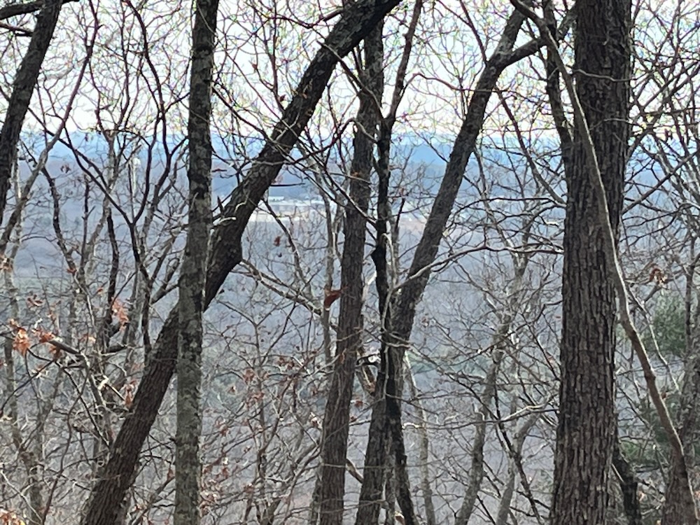
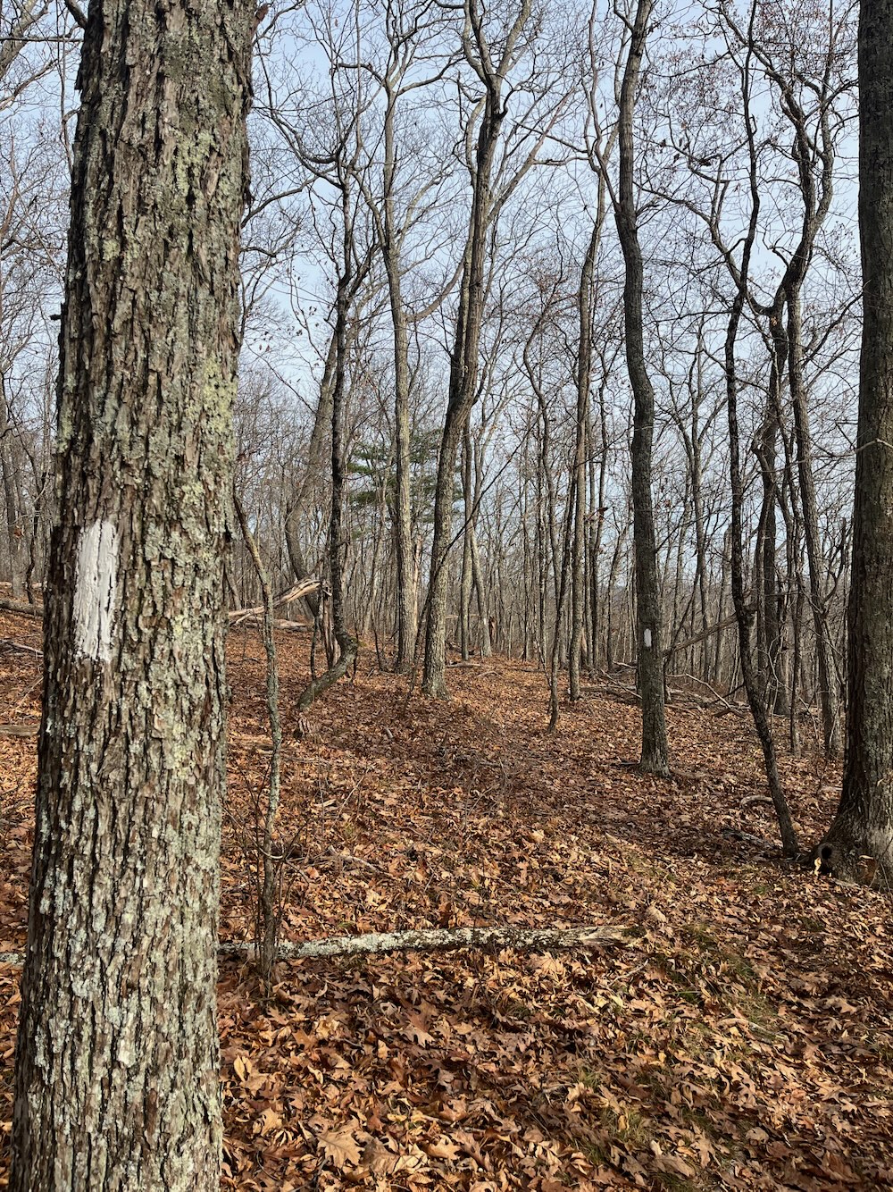
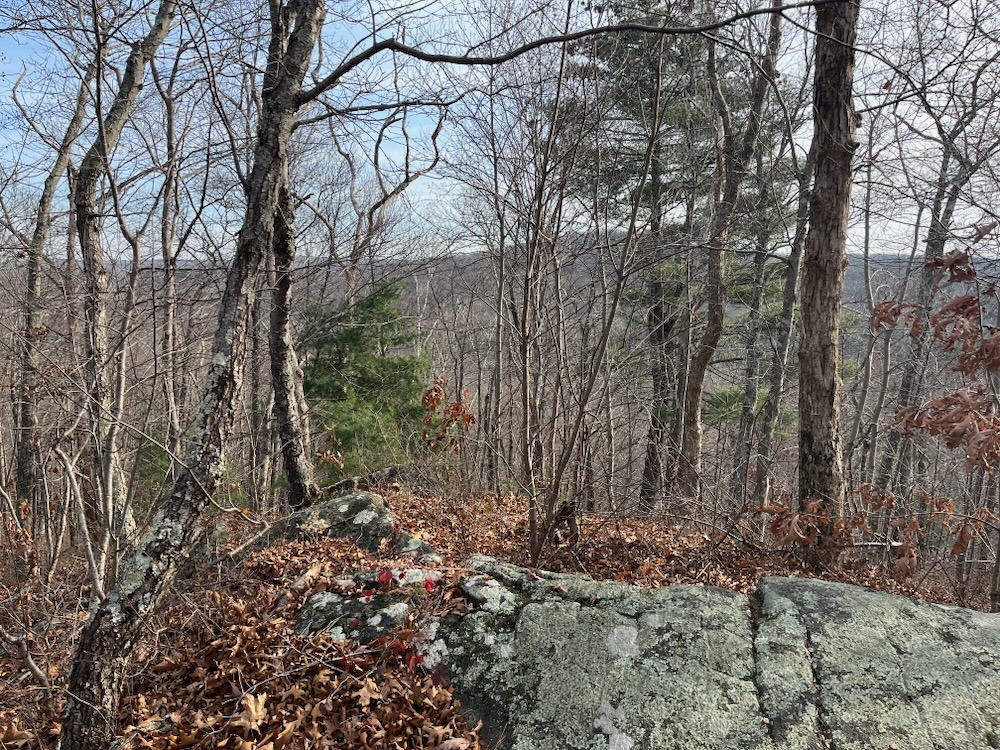
Which is the Ridge Trail. There aren’t really any views worth writing home about along the entire ridge, even in winter. But as I descended the southern end of Bald Mountain, I was able to look out across into Ellington and Stafford. For what that’s worth.
Towards the bottom of the hill, I linked up with the Old Spring Trail which would take me back to my car. This is a gently sloping downhill through a large stand of pines. I hadn’t given any thought to the trail’s name until, that is, I came upon an old spring.
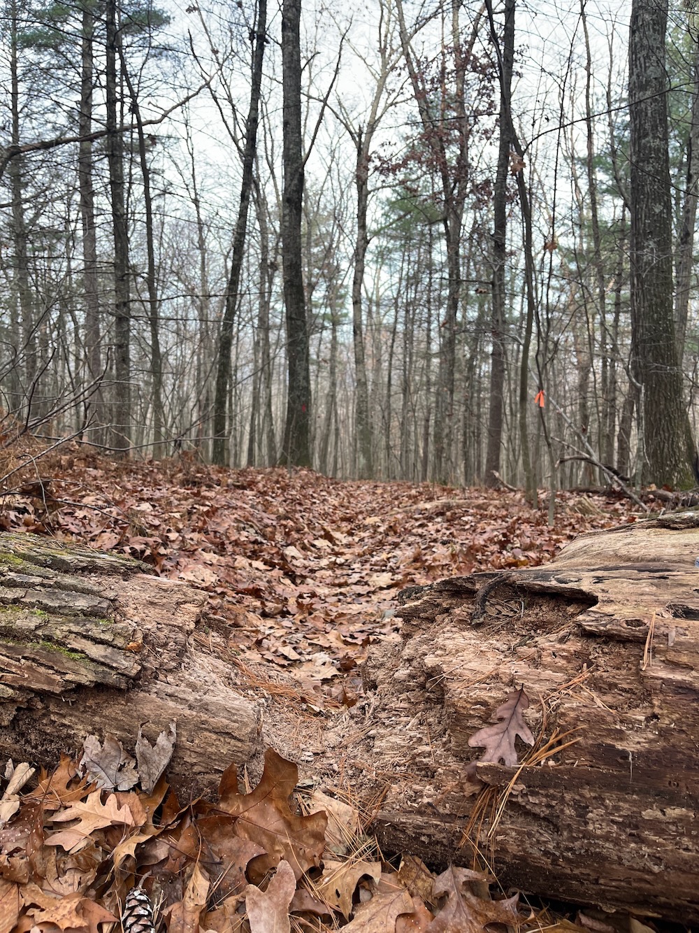
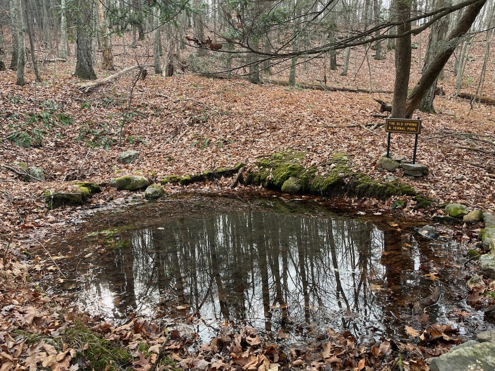
This is an old spring
I don’t know anything more about the spring, but it may have been a thing back in the day. It’s only a few minutes from the trailhead at the end of Scully Road and only a few miles from the once very famous springs of Stafford Springs. I didn’t drink or collect any of the water though. I’ll let you do that and report back.
As mentioned, I drove around to the bottom of the hill off of County Road. Honestly, if you’re hiking off of County Road, it is a steep climb up to where you just read about. Which is fine; it’s not like it’s insane or anything. It’s a fine loop trail and it shares some real estate with the above. If you’re so inclined, you can read a little more about it here.
![]()
Northern Connecticut Land Trust
CTMQ Hikes Northern Connecticut Land Trust’s Trails
Bald Mountain Loop (Town of Somers)
CTMQ Hikes Somers’ Town Trails

 Jamie says
January 11, 2024 at 11:52 amI did that in April 2022. I don’t remember there being so many signs. In my mind, I thought Soapstone was the Somers high point but you’re right, Bald is higher. My notes from that morning state that the actual high point is about 50 yards west of the main trail. I think that agrees with your assessment that there is higher ground than where the sign is. “Bald Mountain” is not the most original name. There is a Bald Mountain just across the border in MA and one in Norfolk. Also a Bald Hill in nearby Tolland. I have 11 recorded summits of places with “Bald” in their name out of maybe 300 in total.
Nor is “The Pinnacle” particularly unique. I’ve done several of those as well. There is one just down the Mohawk Trail from the summit of Mohawk Mountain – very unremarkable – and another within Penwood State Park. Also, of course, Pinnacle Rock on the Metacomet in Plainville, an area you know well.