Needs More Than a Vacuum Cleaner
Windsor, South Windsor, Manchester, & East Hartford, 4.5 miles
June 2017 & November 2020
This page was originally just the 1.8 mile path across the Connecticut River. Since that walk, the path has been officially extended to East Hartford where it intersects the Charter Oak Trail.
My first crack at this page’s title was “This Doesn’t Suck.” But I didn’t want to offend the delicate souls who read this page. The allusion is, of course, to Bissell vacuum cleaners. I, ahem, cleaned it up a bit in the end.
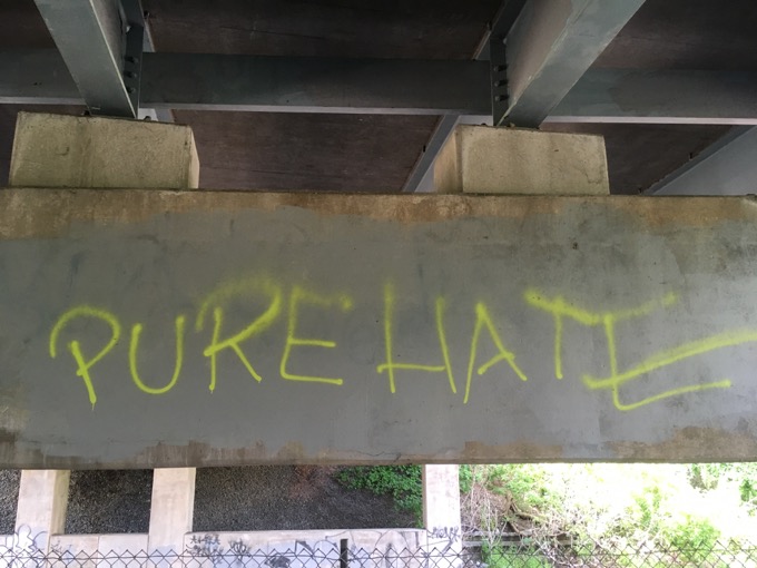
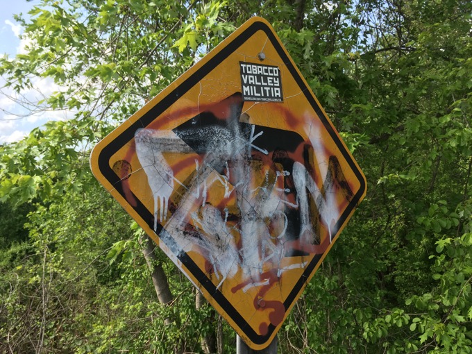
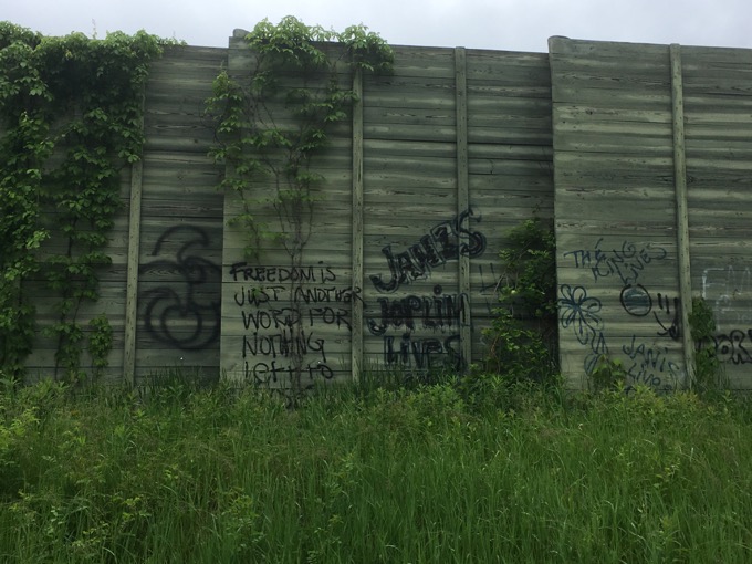
I did some training (for work) in Cincinnati and there was a woman in my sessions from the Bissell Company. Over the course of three days, I learned a lot about Bissell. And about how awesome Bissell’s products are. Even so, I don’t think they could clean the graffiti that mars this walkway.
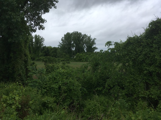
But let me back up for a minute. The walkway serves an important purpose. It’s eastern end begins at Windsor Meadows State Park in Windsor. The park, in general, is a mess. At least the part of it that humans regularly visit.
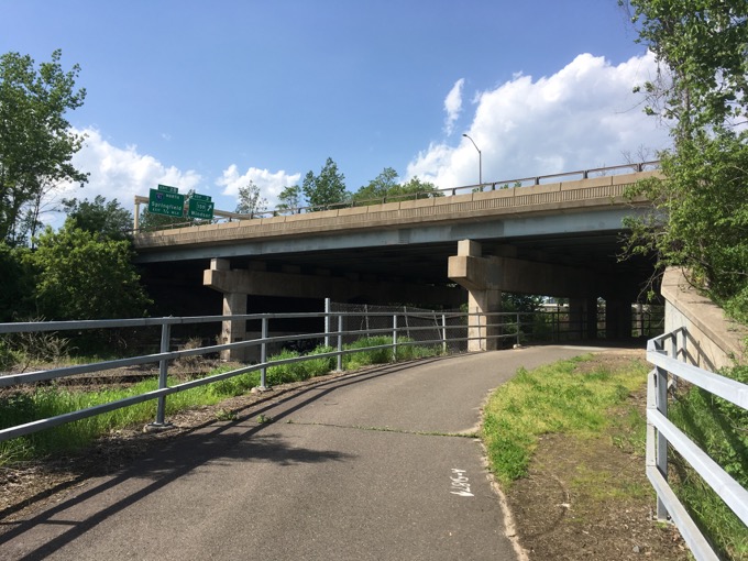
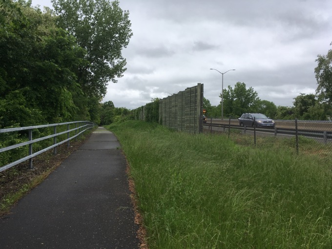
The trail is basically a protected sidewalk next to I-291, the relatively new highway across the Connecticut River that allows motorists to avoid downtown Hartford. I’m not big on highway development, but this one was a good one.
From the state:
The 1.8 mile Bissell Bridge Walkway Trail crosses the Connecticut River separated comfortably from the I-291 highway it parallels and is shared by diverse trail users. The Walkway connects Windsor to the large system of multi-use trails in Manchester and East Hartford.
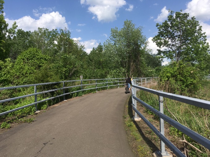
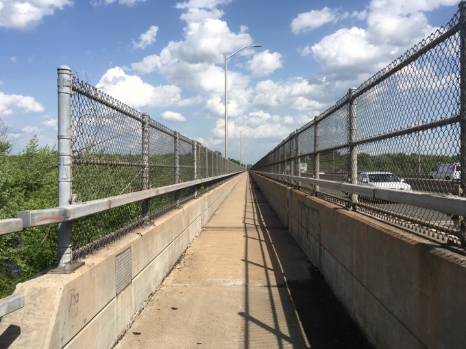
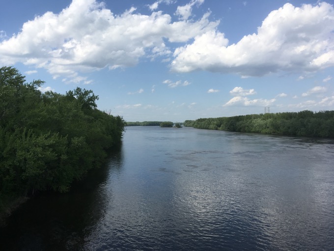
This is true. Several cyclists passed me on my jaunt. The northward views of the river are somewhat diminished by the chain-link fencing, but that’s unavoidable.
The trail just sort of ends on the South Windsor side at Main Street, which is anything but a bustling thoroughfare. continues on South Windsor lowland roads for a bit before becoming a protected path again. In this part of town, think tobacco and corn fields more than apartment buildings and Walgreens.
As CTMQ readers, you already know why Bissell Bridge is called Bissell Bridge, right? It’s a big deal. Something to do with the oldest ferry in the United States? A service that began in 1648? Well over a century before there even was a United States?
That ferry was Bissell’s Ferry, and it connected Windsor and what is now South Windsor. Just north of where the highway is located today. Although John Bissell originally operated the ferry so that he could graze his cattle on the East side of the river, it very quickly became a very important economic and transportation link between Boston on the East side of the river and Hartford, New Haven, and New York on the West side of the river. The Bissell family had a monopoly on the ferry for 150 years.
The ferry ceased operation after 269 years of service, in 1927. And until I-291 was built in the early 1990’s, crossing the Connecticut was a huge pain in the butt. By the way, if you want to read something infinitely more interesting than this page, the history of full beltway around Hartford (including I-291), courtesy of my friend kurumi, is fascinating.
That ended my walk that day, but in 2020 I picked up where I left off and rode the rest on my bike, thus completing the full Captain John Bissell Trail. Let’s continue…
At some point in 2018, the town of South Windsor completed the Bissell Trail, connecting the 291 bridge at Main Street across town over to Manchester and ultimately the Charter Oak Greenway. At some point, the South Windsor plans to connect this trail up north through town on the South Windsor Cross Town Trail.
I’ll keep you posted. Maybe.
Heading generally southeast, the first three miles after the bridge are on roads. These are not busy roads at all, and there are sidewalks for much of it if that makes you feel more comfortable. Up Main Street – which here, is the furthest thing from a Main Street in the state – and then take a right onto Chapel Street.
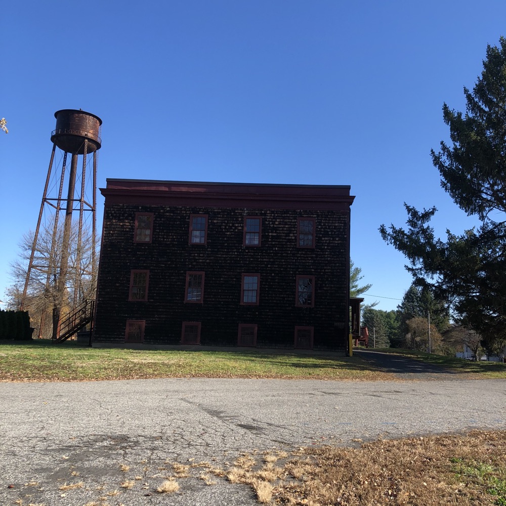
There’s nothing remarkable about this stretch at all, but you will ride near the Wood Memorial Library which shares my last name (Wood), contains a museum, and has a cool annual gingerbread house festival.
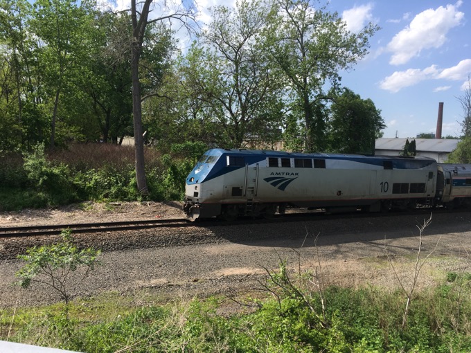
Crossing route 5 isn’t too fun, so play it safe. Cross a train track and begin a fairly long, gradual climb up Chapel Street. This is not an exciting stretch of bike trail I’m afraid.
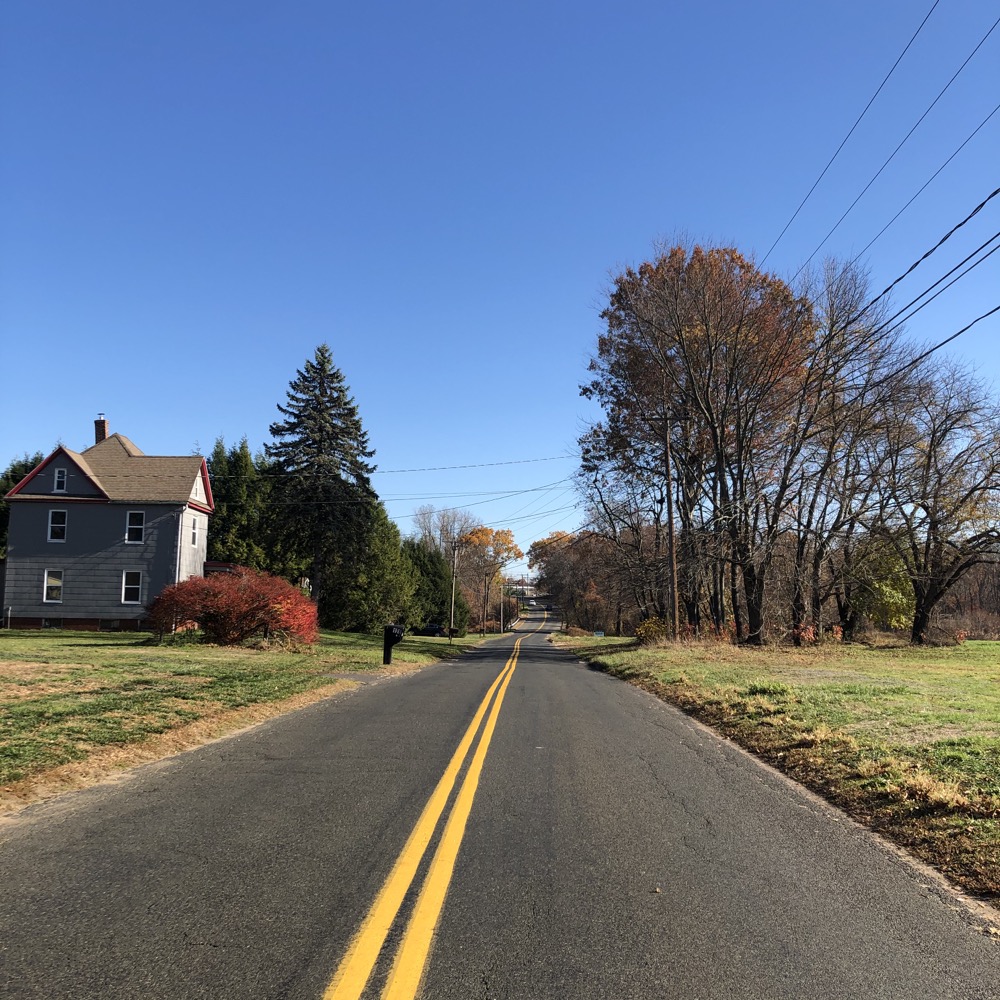
OooOOoh, there’s a Bear’s Smokehouse outpost, a big CREC school… and since we’re on Chapel Street… a big white people church, and a Korean Church. That’s different. Just past the Korean Church, the paved path begins again and parallels the curvy road at this point. In short order, I passed Hartford Distributors, Inc.
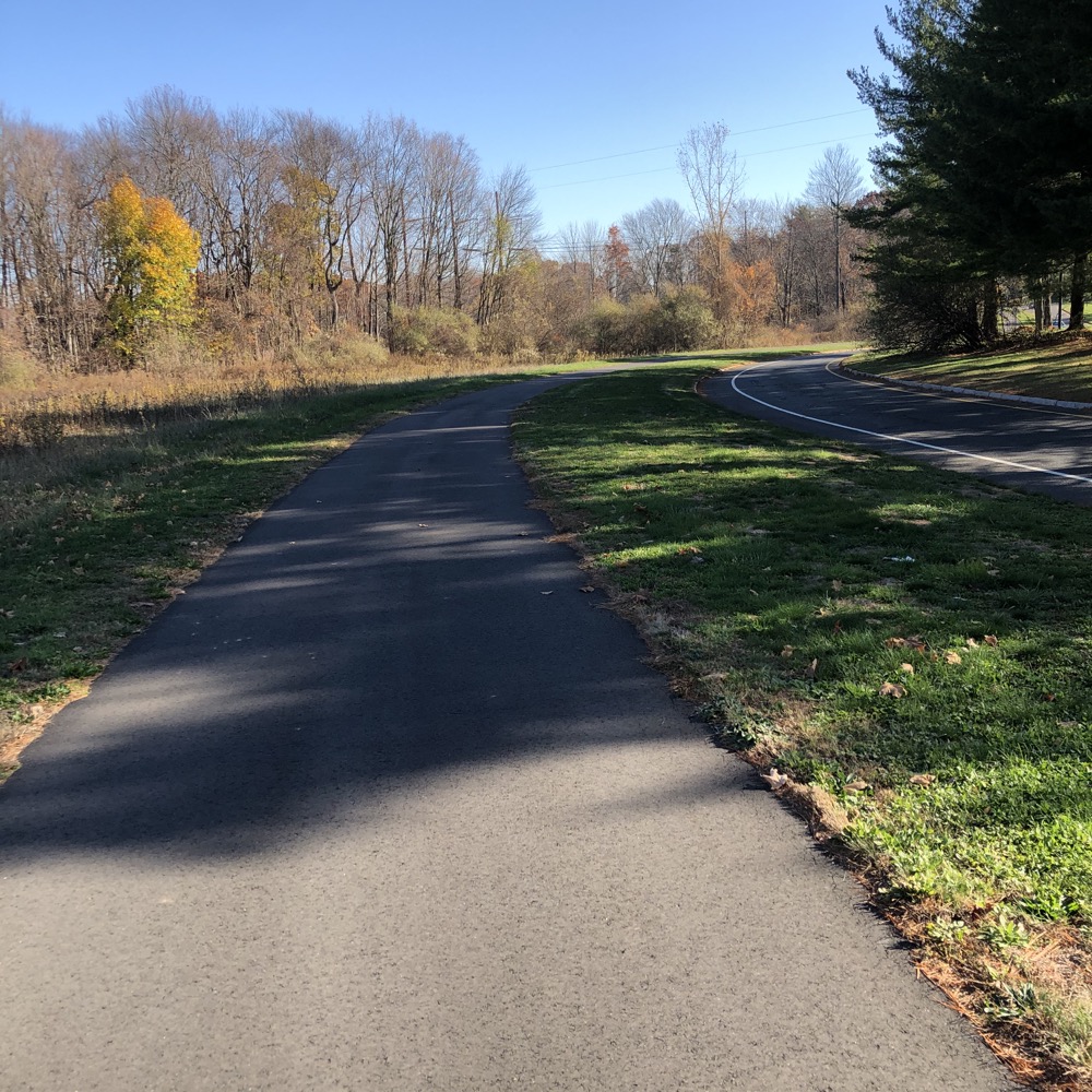
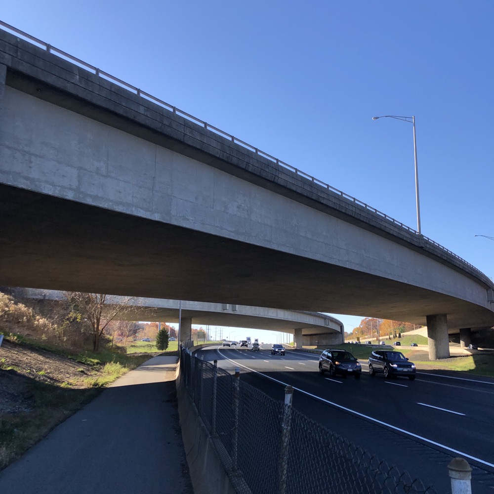
HDI is yet another somber reminder of workplace murder. In August 2010, eight HDI workers killed in a 2010 shooting… and it’s mostly forgotten now. There’s a memorial on their grounds somewhere, but I continued on my journey. A journey that was about to enter the highway interchange zone. Anyone who has driven through, around, over, in, under, etc., the I-84/I-384/I-291/route 44 mess in Manchester has maybe noticed a paved bike path behind a chainlink fence on the side of the highways.
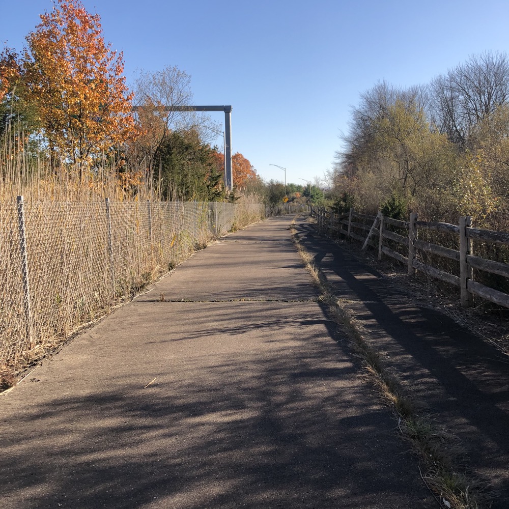
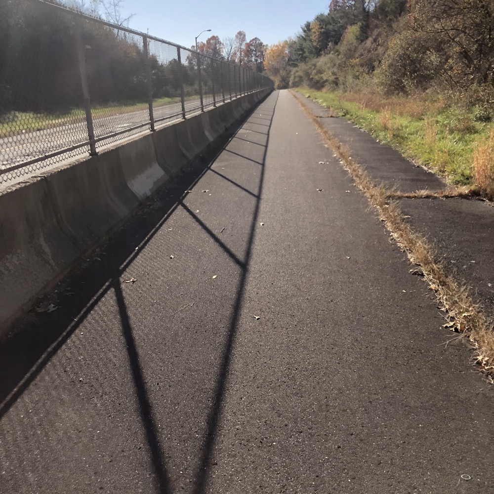
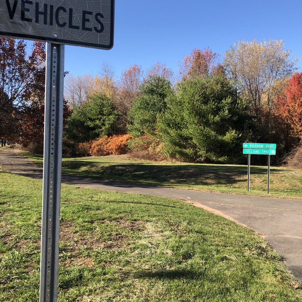
Sometimes it’s the Bissell Trail and sometimes it’s the Charter Oak Greenway. For the former, once across Tolland Turnpike, I rode under and then along 291 down past the beautiful Wickham Park. The park is completely hidden from the bike path and you’d have no idea its there. However, once you reach Route 44, a short ride to the park will certainly be worth your time.
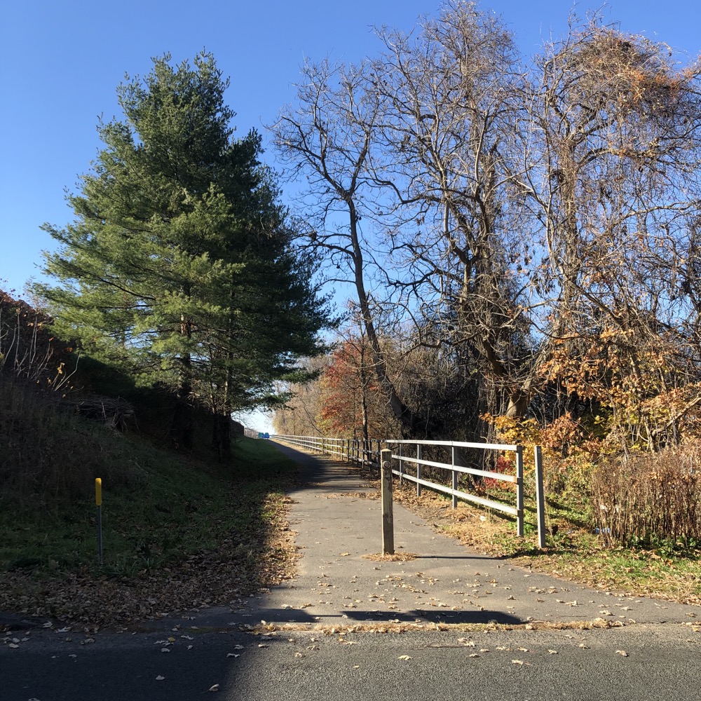
The Bissell Trail isn’t the prettiest bike path in the state. The asphalt has begun to break apart and, well, you’re often right next to a highway. Weeds reign and ugly fencing is prevalent. But… the trail serves a good purpose and it’s cool that it exists.
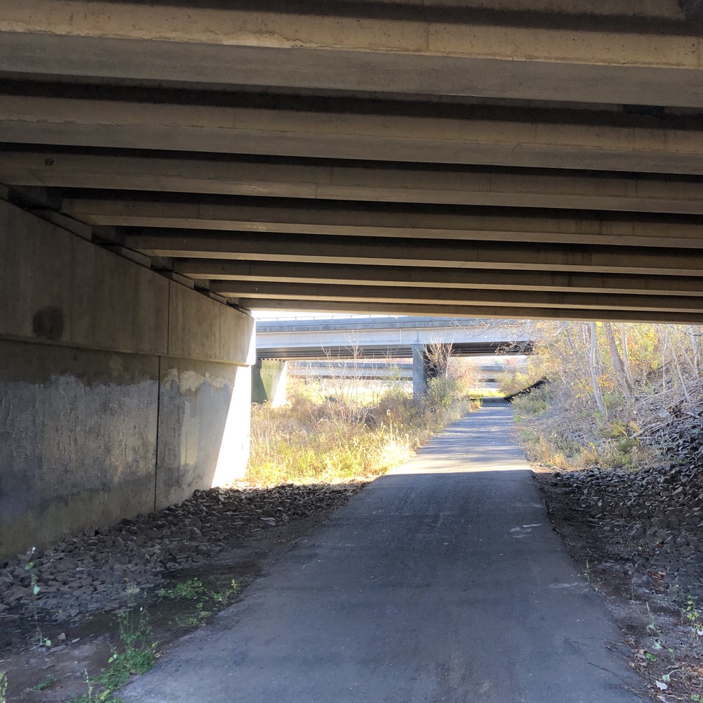
You know what else is cool? The Mighty Hockanum River Trail! The Laurel Marsh section of that awesome trail utilizes the Captain John Bissell Trail to get across the Hockanum River and over/under I-84.
Having fun yet? Good, because we still have to go along 84 and then under 384 and then wait, what? That’s it? Yes, that’s it. After the last tunnel, the Bissell Trail t-bones the Charter Oak Greenway, now in East Hartford, and calls it a day.
No, this is not the prettiest trail. In fact, I’ll wager it’s one of the ugliest in the whole state. But it allows cyclists to connect Windsor to East Hartford safely, at which point they can choose to ride to Calais, Maine or Key West Florida via the East Coast Greenway… and those two places seem pretty sweet to me right about now.
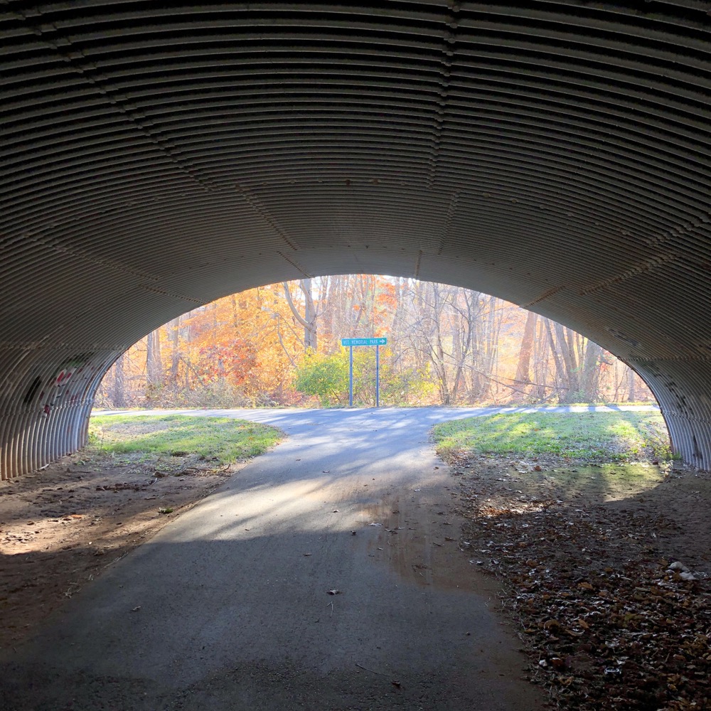
The East Hartford end
Captain John Bissell Trail Map
CTMQ’s Cycling, Multi-Use, & Rails-to-Trails Paths

 Ray says
June 6, 2022 at 6:41 amCan someone please come out and cut the grass on the Bissell Trail between windsor and south windsor. It went uncut all last year, let’s tend to it this year. PLEASE AND THANK YOU!!!