
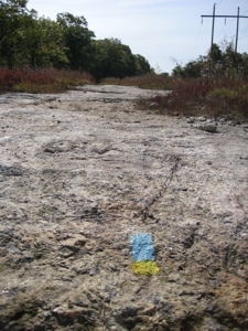
No Bears, Didn't Fall Once, And I Didn't Go Crazy Middletown, 4 miles total, solo October 7 & November 9, 2008 As all readers know by now, to complete the CFPA's Blue Trails Challenge, I am compelled (forced?) to hike all the trails described in their Walk Books. This becomes iffy at a few of the "trail network" … [Read more...]
Read this first
State Parks, Reserves, Preserves, Forests, NAPs, WMAs, & Campsites
State Highpointing Intro
Why State Highpointing?
Land Trust Trails
Connecticut Hiking Challenges & Rewards
CFPA Trails & The Blue Trails Challenge
Town Owned Trails
Peakbagging Tallies
Highpointing and Peak-Bagging Intro
Pachaug Trail: Section 2
Section 2: Hell (Hollow) and Back Southern Quinebaug Trail Crossover to Porter Pond, 4.8 miles, Voluntown, Plainfield, Sterling December 14, 2008 The best part about hiking solo is the ability to "hike your own hike." That's sort of a mantra along the Appalachian Trail for thru-hikers and in today's world, it … [Read more...]
Pachaug Trail Intro
Pachaug Trail 25.1 Miles, Voluntown, Sterling, Griswold, & Rhode Island December 2008 - The Pachaug is a mostly flat 25.1 mile horseshoe-shaped trail in the eastern lowlands of Connecticut. It traverses the Pachaug State Forest through Griswold and Voluntown and ventures into Rhode Island for a couple miles as … [Read more...]
McLean Game Refuge (Eastern Region)
The Game Here is Hiking it All Efficiently - My Kinda Game! Simsbury/Granby, 9 trails, variable miles, solo October 13, 2008 [2018 Update: The CFPA/McLean have released updated maps which adds some of the trails I “found” and hiked below. I’m sure the blazes now also make more sense than described below. Just … [Read more...]
Tunxis Black Dot (Nature Center Connector)
Black (Dot) Power! Nature Center Connector, 2.5 miles November 16, 2008 2015 Update: A few of the Tunxis Trails in Burlington got a makeover in 2014, but not this one. So changes on this page are relatively few, thank goodness. But I’ve made them and now this page makes sense with the current trail revisions. … [Read more...]
Pennsylvania: Mount Davis
Highpoint # 14 Mount Davis, 3,213 feet (33rd highest) November 20, 2004 Drizzle, fog, coalmines, steel mills, mud, barren winterscapes and Amish people do not usually make for an exciting road trip. But in the case of bagging Pennsylvania's (as well as Maryland's and West Virginia's) highpoint, it … [Read more...]
Mattabesett Trail: Section 8
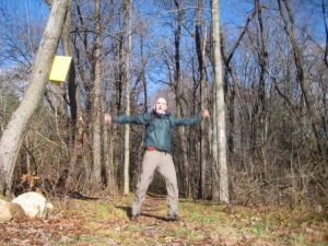
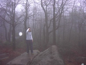
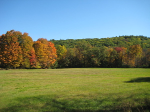
Section 8: Powerful Stuff Seven Falls (Route 154) - Brooks Road, 5.7 Miles October 7, 2008 I'm looking at this page in late 2020 and I have to apologize again for the tiny and vertical and generally poor quality of the photos. 2008 was a long time ago! As I near the end of what is a much, MUCH better trail … [Read more...]
Wolcott/Walcott Trail
But I'm nowhere near Wolcott! Torrington, 2.5 Miles (plus .5 mile connector trail), solo September 13, 2008 I revisited half of this trail with my sons in March of 2016 as part of the DEEP's Sky's the Limit Challenge. Totally different trail experience here. Let's talk about the incongruously named Wolcott … [Read more...]
McLean Game Refuge (Western Region)
Great Hike? Or Greatest Hike? McLean Game Refuge (West), Simsbury & Granby October 2008 Note that this was written in 2008 and you're only getting tiny picture formats. Also, much has changed at McLean since that time. New Trails, retired trails, new trail blazing, and new attitude towards connecting trails. … [Read more...]
McLean Game Refuge Trails
McLean Game Refuge Simsbury/Granby, about 13 Miles total October 2008 & July 2018 One of the nicer and more popular hiking areas in north-central Connecticut, McLean has always been a bit of a bugaboo for me. It's creation and governance is a bit unique which figures heavily in my feelings towards it. In short, … [Read more...]
- « Previous Page
- 1
- …
- 102
- 103
- 104
- 105
- 106
- …
- 110
- Next Page »