… And Ferns And Mushrooms Trail
Canton Land Conservation Trust
July 2021
Western Canton is a wild and rugged place. At least as far as Hartford County Connecticut is concerned. I have very much been enjoying my walks through the Canton Land Conservation Trust’s properties out here and expected more of the same from this large tract.
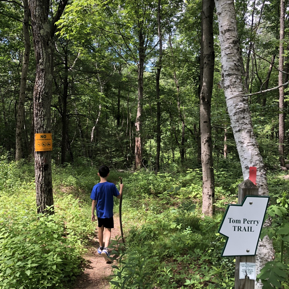
I was not disappointed. And, in fact, the CLCT seems to rather like this place too, since they’ve added several trails in the woods but had not yet updated the maps online when I hiked here in the summer of 2021. This caused me (very) mild agitation – then I remembered these land trusts are mostly volunteer efforts of retirees and our expectations for such things should be tempered a bit. For in reality, what the CLCT has done out here is phenomenal. (The map on the kiosk at the main trailhead was updated and accurate.)
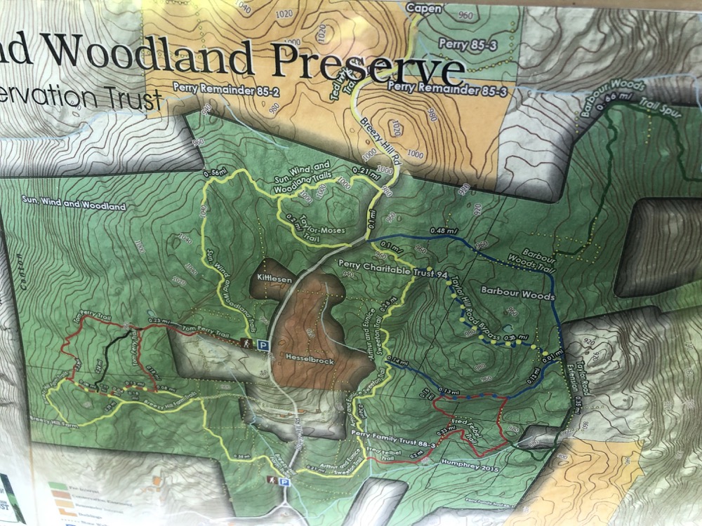
The oddly named Sun, Wind, and Woodland Trails parcel contains several distinct trails and two parking areas. Visitors can decide which loops to walk and can easily make a half day of it if they wish. What’s more – and what I believe may be an ultimate goal of the CLCT – short dirt road walks connect south to the Mary Conklin Preserve trails and north to the Smith Tree Farm Trails which cross over into Barkhamsted.
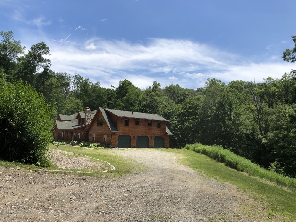
This house in the middle of nowhere on Breezy Hill Road is on the way here from the Conklin Preserve. It’s impressive.
Tom Perry & Breezy Hill Farm Trails
I dragged Calvin out with me to tackle half of the parcel’s trails. Now 10, he’s becoming a bit too “cool” to want to go on “boring” hikes with me. Oh sure, he’ll jump at the chance to hike Mt. Katahdin, but a walk through Canton, Connecticut? He’d rather build a Minecraft world of it instead.
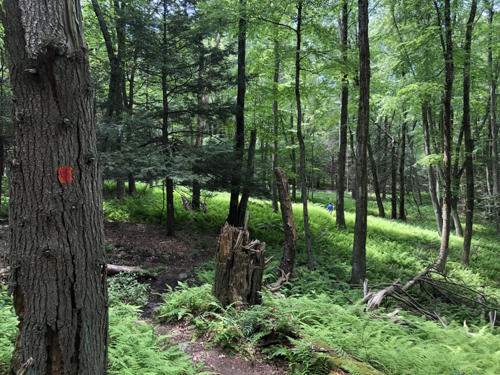
And if I’m being honest, the red-blazed Tom Perry Trail is perhaps the least exciting trail in the whole property. Taken on its own, it provides a one-mile flat loop through some woods and across and near some old woods roads. It’s a nice dog-walking trail I guess.
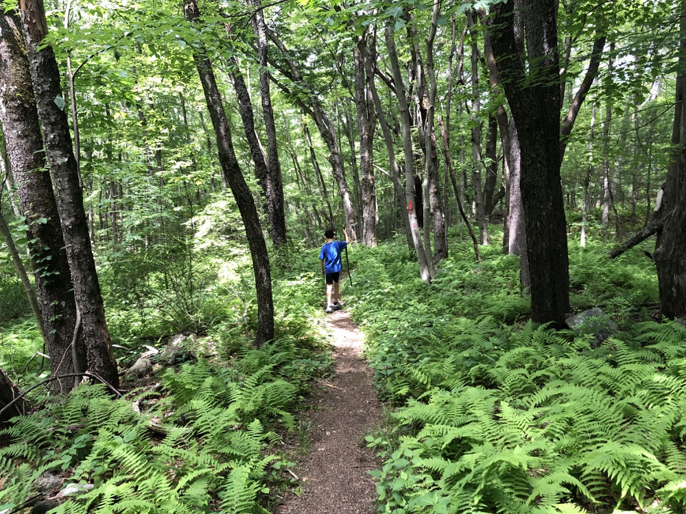
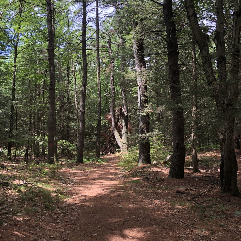
And it has ferns. Lots and lots of ferns. 2021 was a very, very wet year here and the ferns are more lush and thick and vibrant than any year I can remember.
This trail system is generally on the ridgeline above Ski Sundown. The Perry and Breezy Hill trails take hikers nearly to New Hartford (and therefore Litchfield County), but are not too hilly at all.
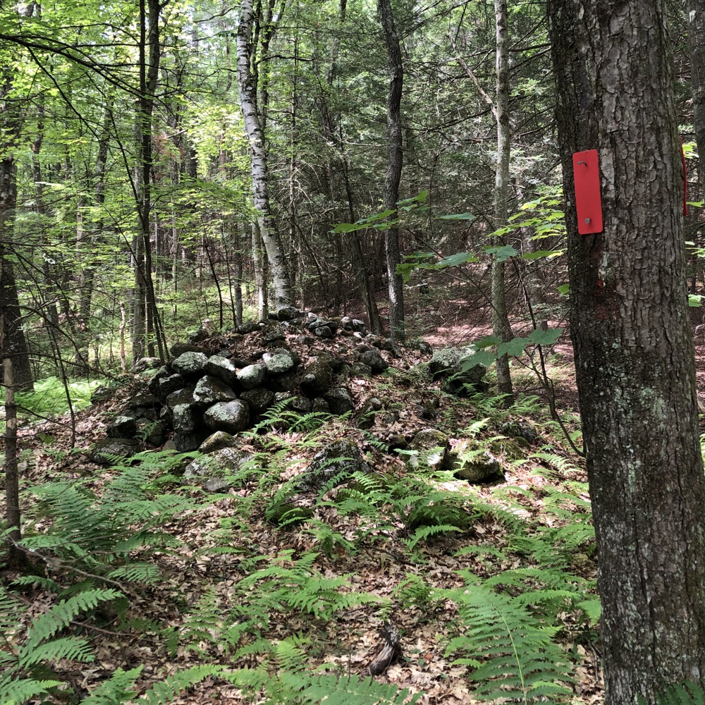
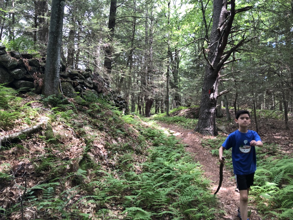
Calvin and I did most of the Perry Loop, found ourselves on a forest (likely former farm) road, and then picked up the yellow-blazed Breezy Hill Trail. More ferns and stone walls. These are pleasant woods.
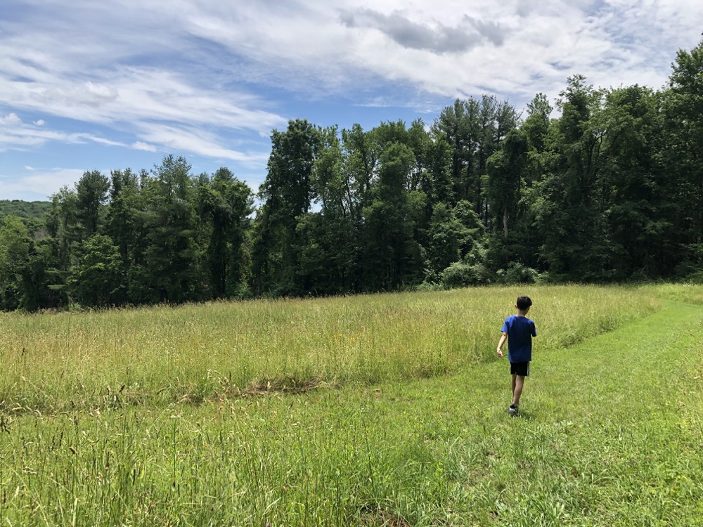
Before too long, we found ourselves a the top of a field. Several fields, actually. The yellow trail is officially called the Breezy Hill Farm Trail and I’m not sure how active the farming here is, but someone makes an effort to keep any trees or large shrubs from growing.
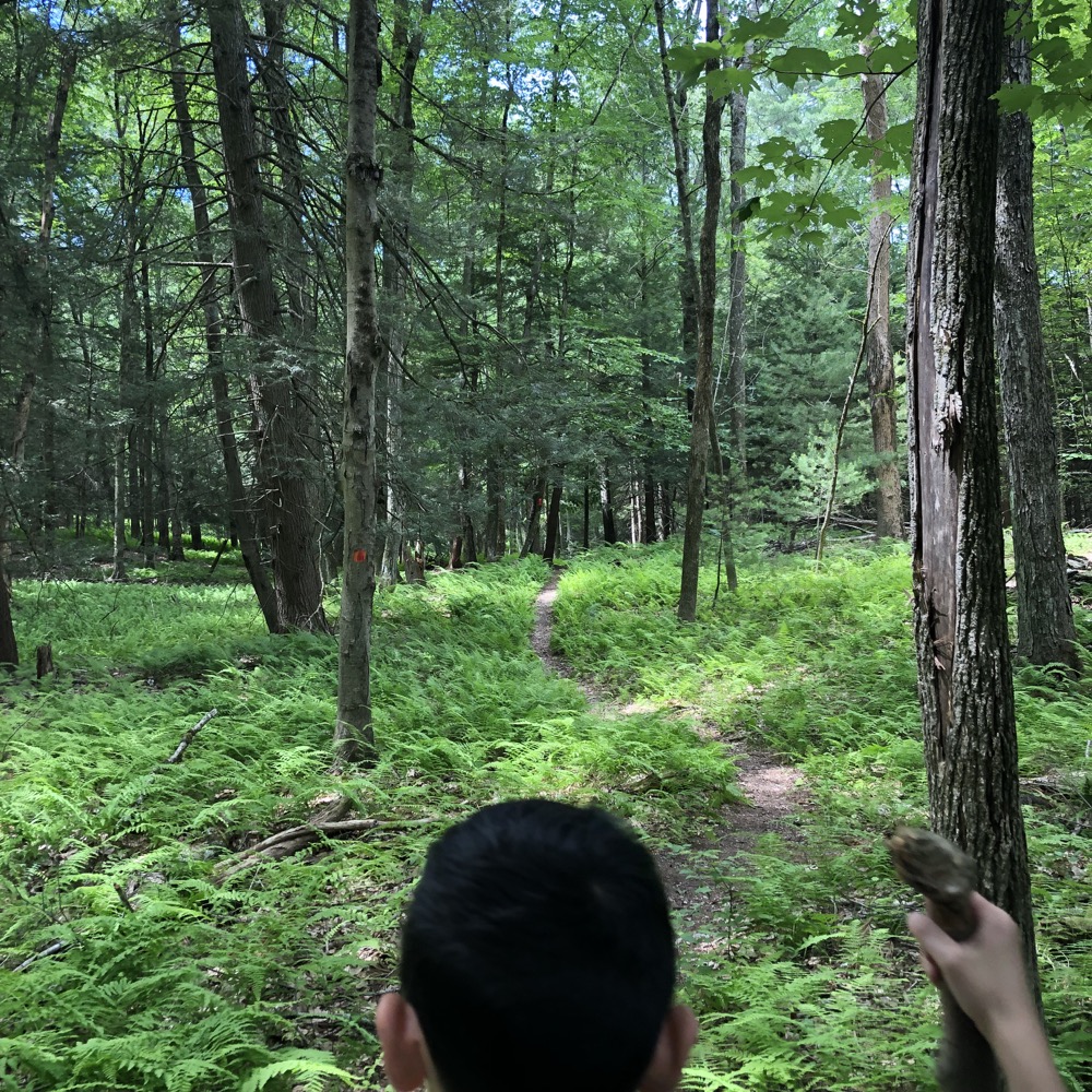
It helps to sort of know where the trail re-enters the woods at the bottom of the fields. It’s the southeast corner, by the way, but our extra walking about the fields in the summer heat was pleasant enough.
All the same, we were happy to continue down the hill and out to Breezy Hill Road. There is parking here along the road for a few cars, but the main lot at the top of the hill is far more accommodating, with room for probably 30 cars. (Note: Breezy Hill Road between the lower lot and the upper lot is very, very steep.)
![]()
Sun, Wind, and Woodland, Barbour Woods, & Sweeton Trails
Back up to the top of the hill and the main hiker’s lot and no longer with Calvin. The big yellow-blazed loop trail up here is the Sun, Wind, and Woodland Trail that heads north before looping east across Breezy Hill Road.
I am mildly curious as to how this parcel got its weird name, but I’d guess it’s simply because someone said that hiking here provides some sun, some wind, and some woodlands. The derivations of these things is always far less exciting than my imagination.
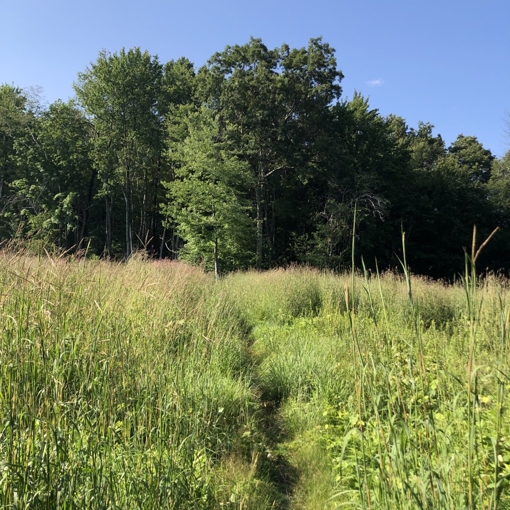
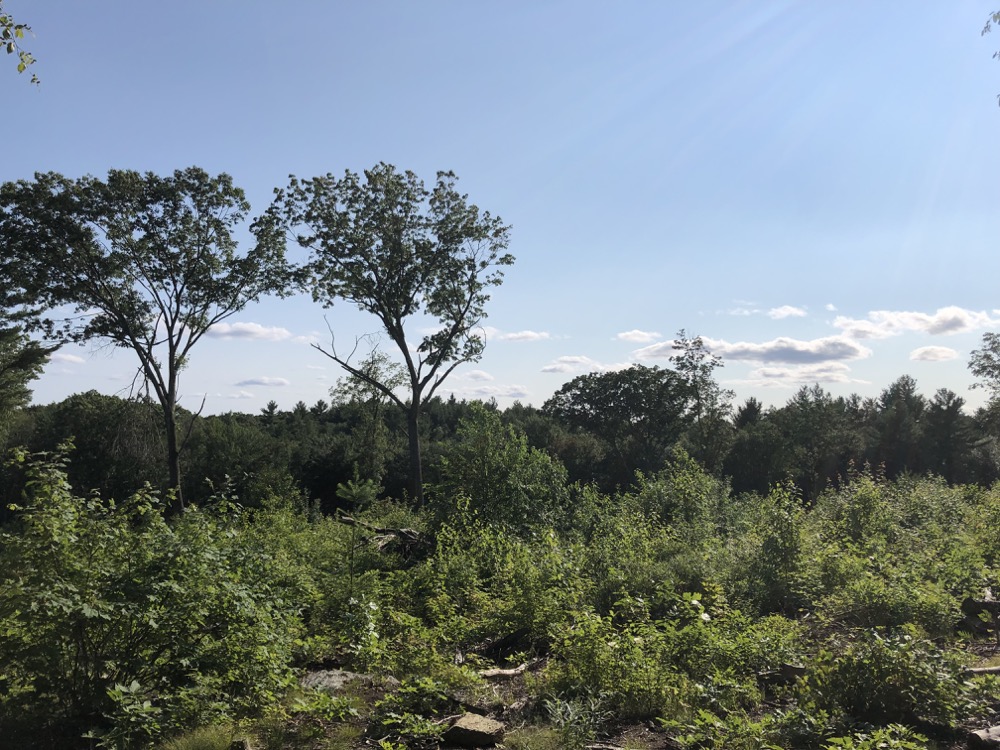
The first bit of the trail traverses an overgrown meadow. I’m not sure why this is a meadow, but it was clearly logged not too long ago. There are hopes for views here, but none really materialize. The whole of western Connecticut is just over that hump, but not to worry… if you continue your Canton adventure north to the Smith Tree Farm Preserve, you’ll get your western views, I promise.
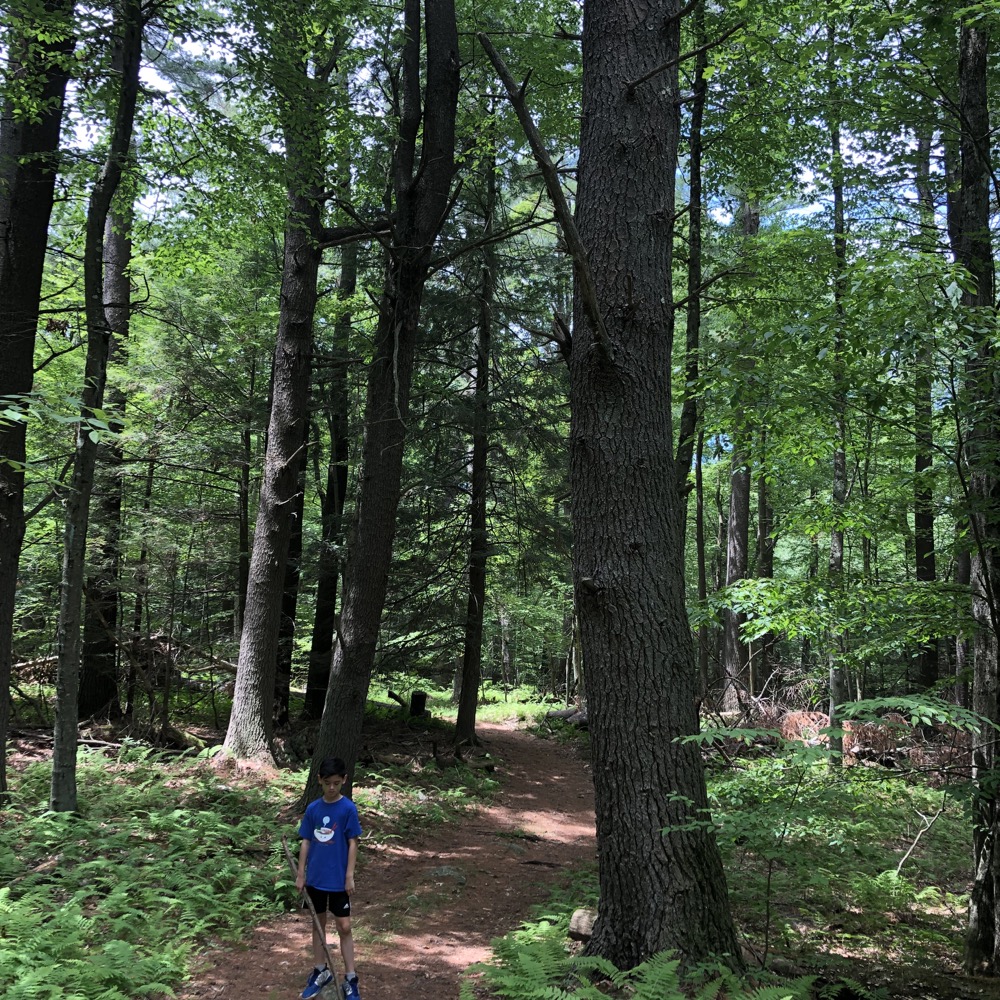
This trail doesn’t need views. It dips into a dark and thick forest of red and white pine. It’s downright primeval. Footfalls are silent on the needles and the trail courses through some “highland wetlands” which give it an entirely Maine-like feel for a short spell.
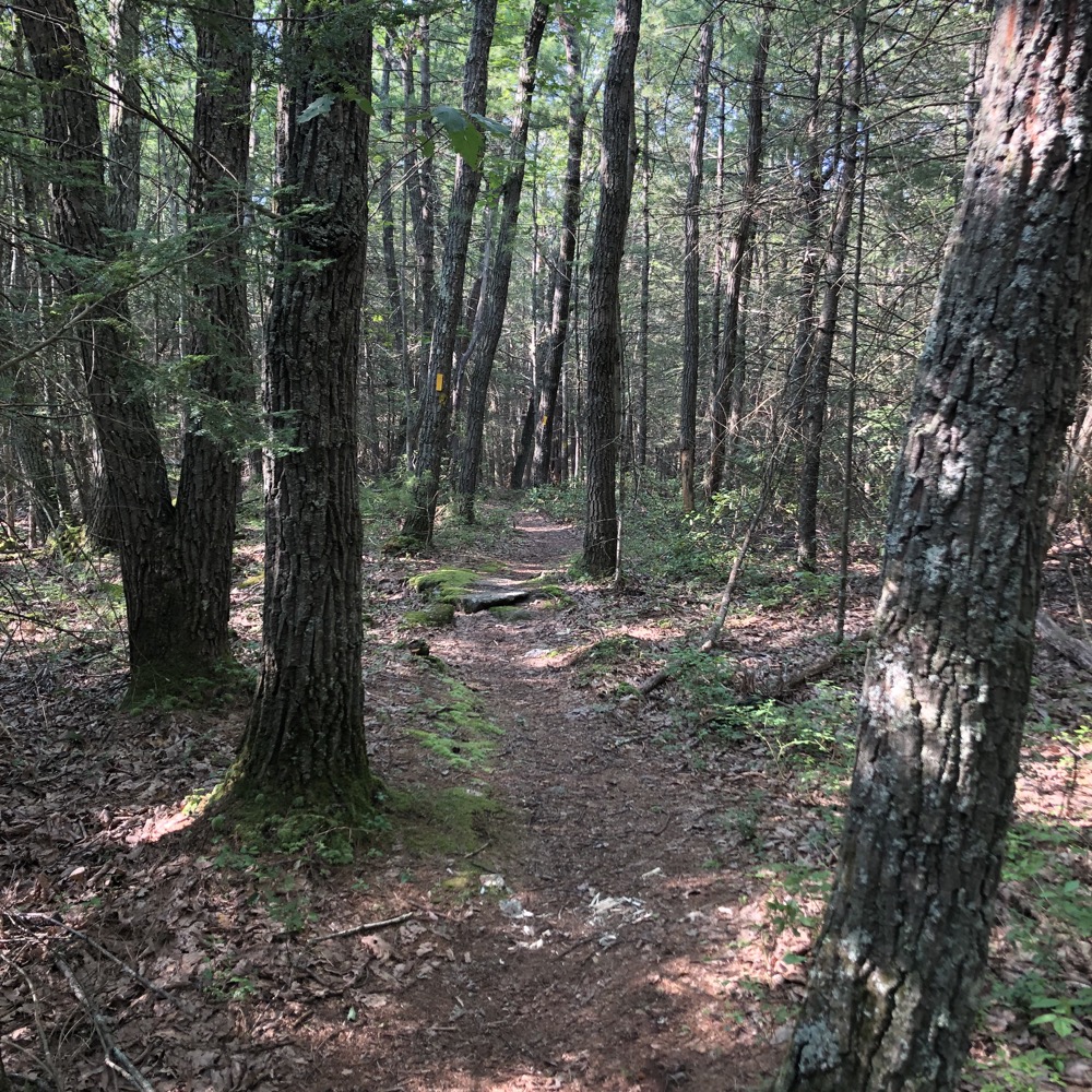
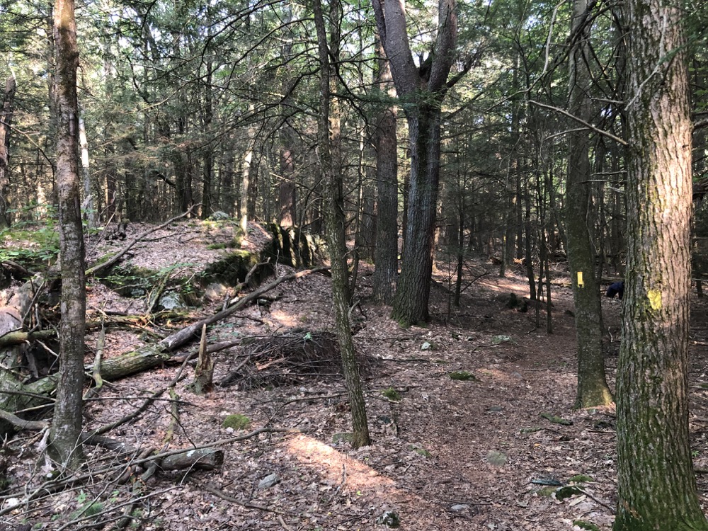
It was here I encountered the first of what would be several newer blazed trails. A blue/yellow trail peeled off to the right; clearly a short cut back out to Breezy Hill Road. There seemed to be some cool rock features on this route, so I took it. (And I was right, there are some cool rock features on this path.)
Once back to the road, I crossed it and began the blue-blazed Barbour Woods Trail. This loops around the eastern block of the preserve and begins down an old, wide, woods road. It was here I really began noticing all the mushrooms that popped up during this wet summer. Loads and loads of ’em. Mushrooms which I’d not really seen too often in my decades of Connecticut hiking.
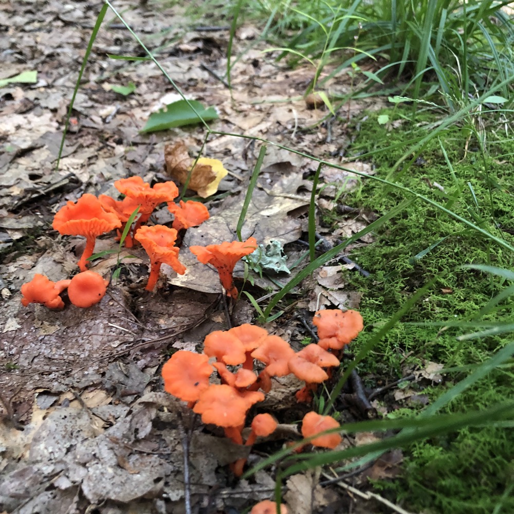
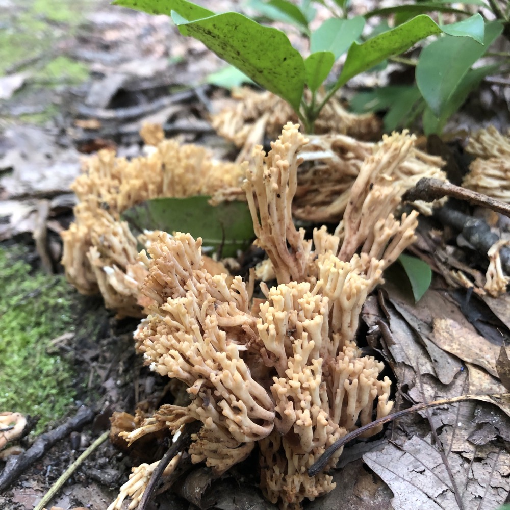
Such a wide array of color, too. I soon came to the Barbour Woods Spur Trail, which I immediate began walking. More ferns and stone walls and old pines. I hope I don’t sound like I’m complaining about these things; I’m not. They all make for very nice walking.
I don’t imagine the green-blazed spur trail is one of the more popular trails. Parts did not look well-trodden to me, but the CLCT maintains their trails very well, so that wasn’t an issue. It simple descends steeply to Barbourtown Road. Let’s catch up with some pictures.
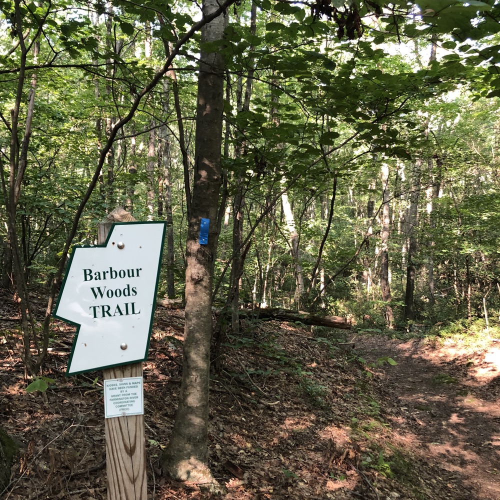
Each trailhead gets a nice sign in Canton
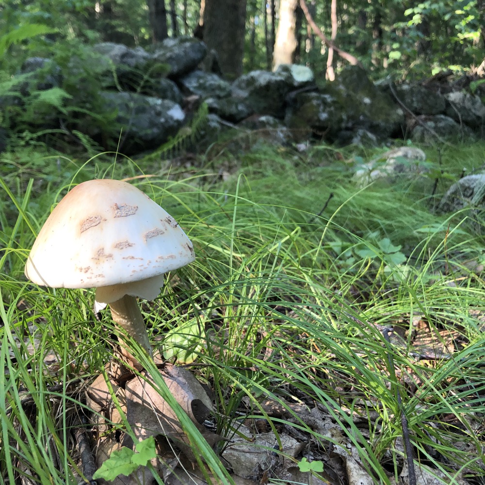
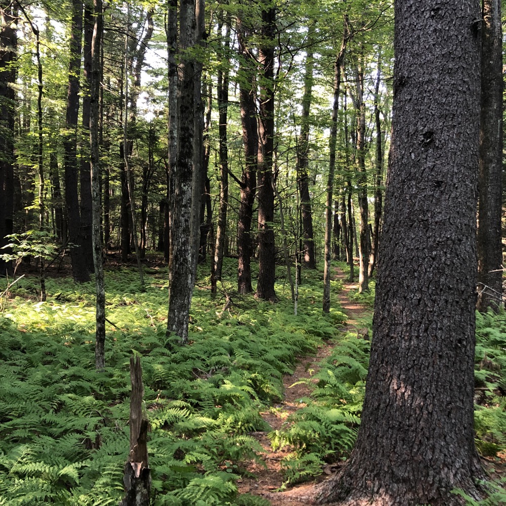
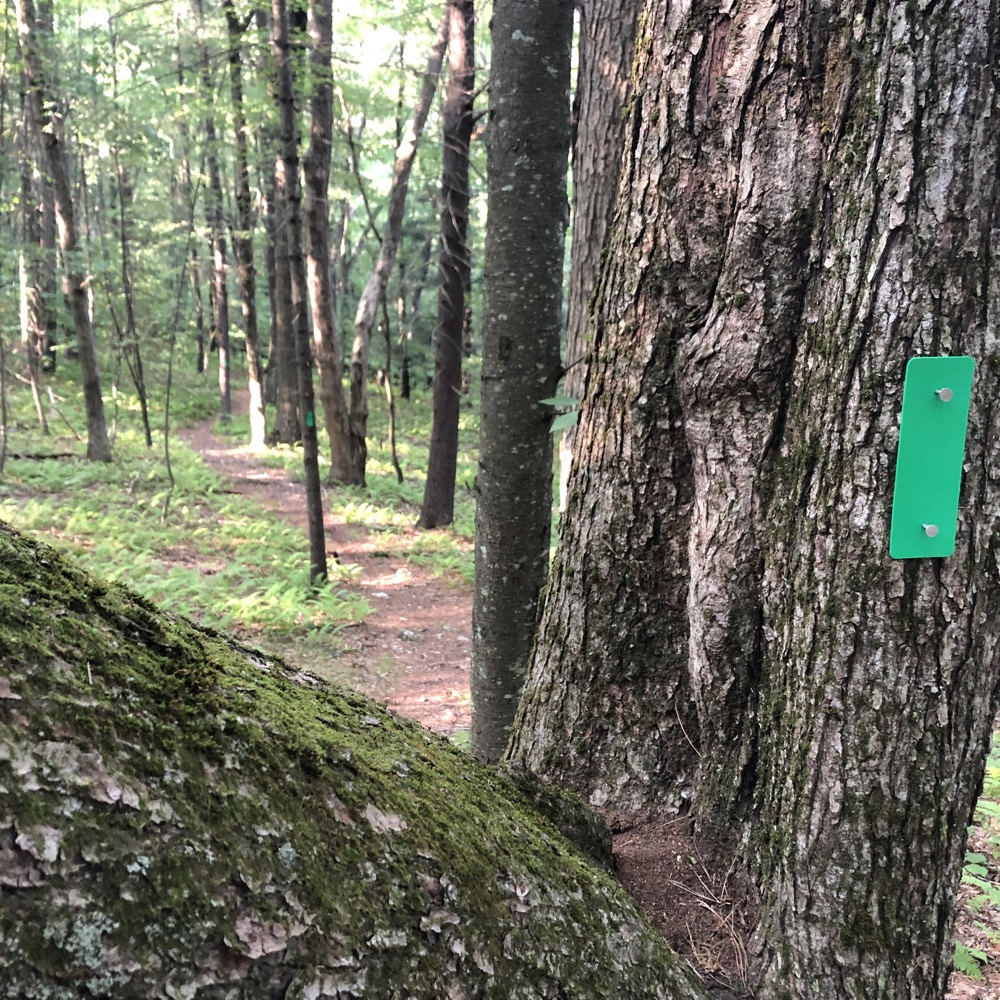
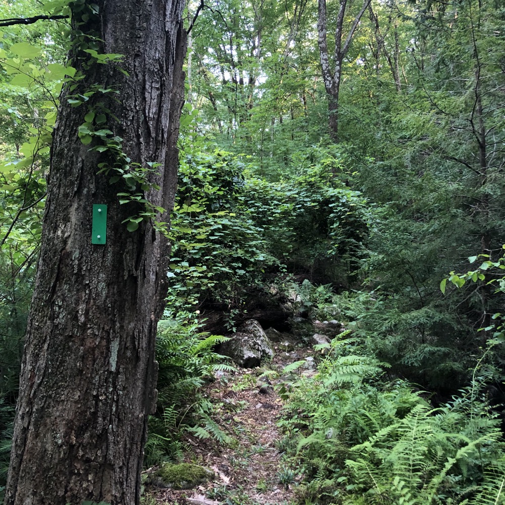
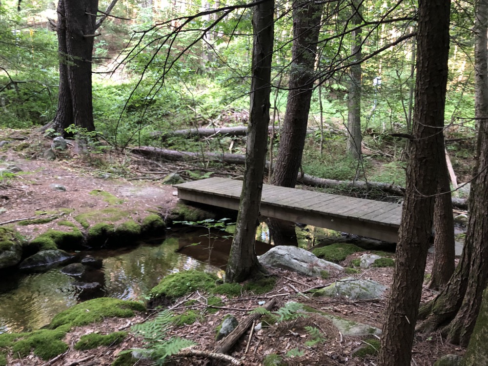
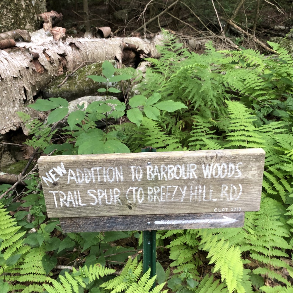
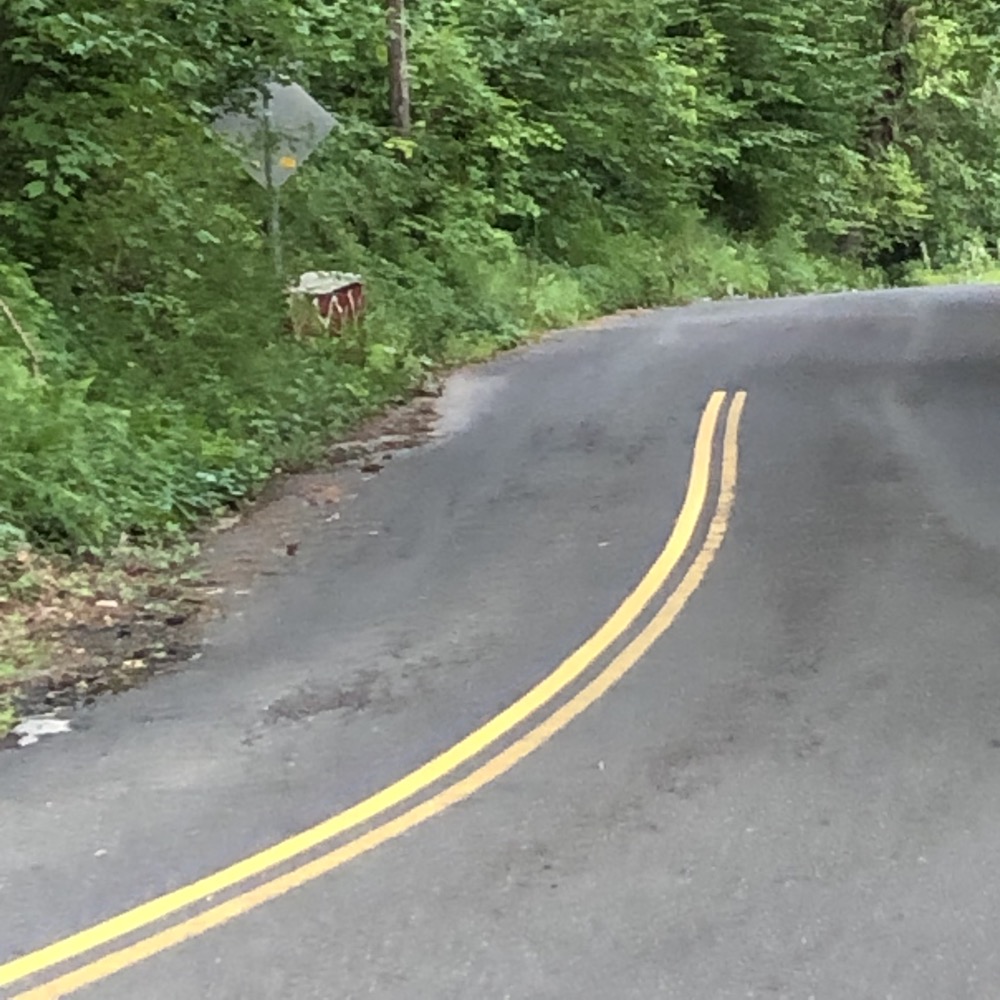
But hey, they’ve added a spur trail to the spur trail. Perhaps to take hikers a couple hundred yards up Barbourtown Road for a few more parking spaces, I don’t know. The spur spur does walk along a babbling brook a bit, which is nice… but seems like it would be nearly impassable after a heavy rain.
And speaking of Barbourtown Road… this trailhead here is right next to the roadside Canton Drum painted rock! I remember the first time I came out here to find it, I felt like I was driving forever. Now look at me, conquering the hills and dales all around it.
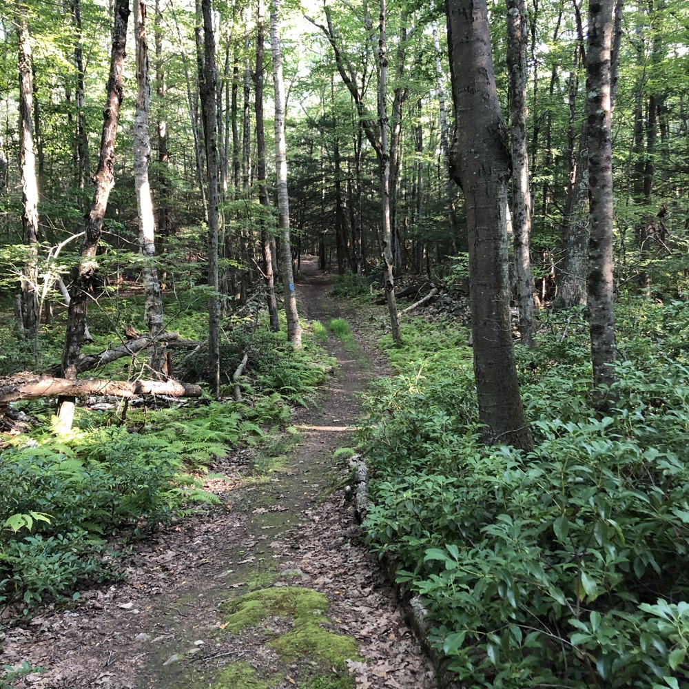
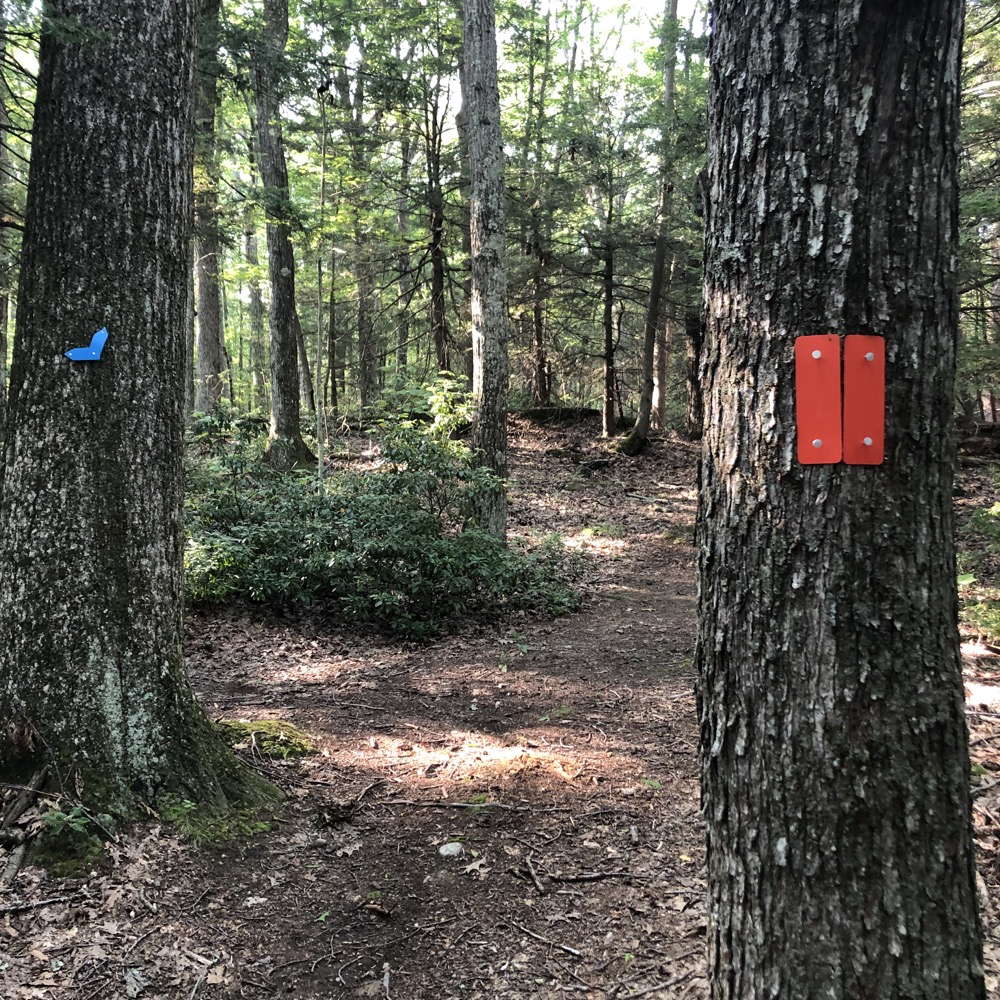
Back up the hill, back to the Barbour Woods Trail… as I began to loop back around to the road, things seemed different. First, I was no longer on a wide woods road, but more importantly, this is where the CLCT has begun to add trails. Lots of trails. They all form loops (or cut through loops), so they “make sense” in a sense. But I had not planned for them.
I walked much of each one. There’s a green one and what amounts to two red ones that cut over to the main yellow loop nearer the lower parking area. A blue/yellow one cuts through the big blue loop.
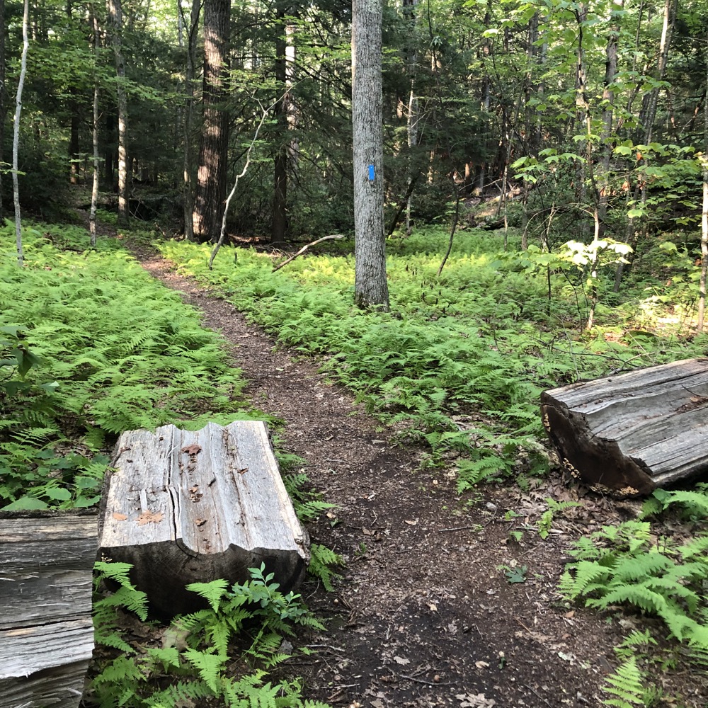
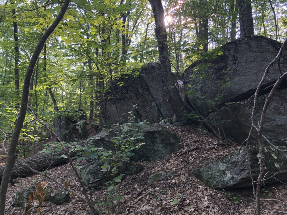
Again, the CLCT marks their trails well and the main trailhead kiosk has the updated map… but there was nothing online in July 2021. Just the way it is sometimes I guess. I wound up taking a red trail down to the yellow.
At that point, I felt the need to walk it out to the road to make for a complete yellow loop. Here, the yellow trail is the Sweeton Trail. If you have a couple hours, I would recommend parking at the upper Breezy Hill lot and just sticking to the big yellow loop. You get fields, streams, giant pines, semi-views, some cool geologic features… and then you can wander off on the other trails if you feel the need.
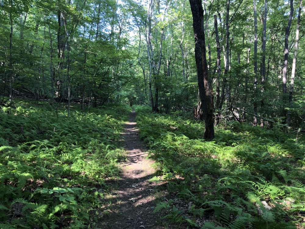
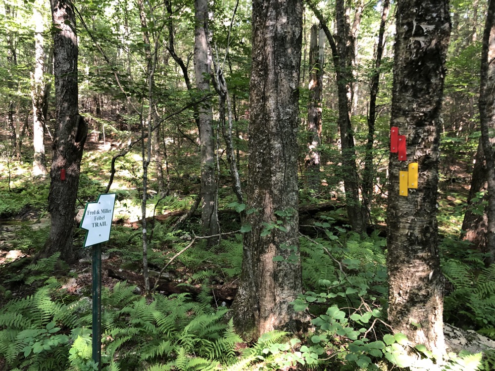
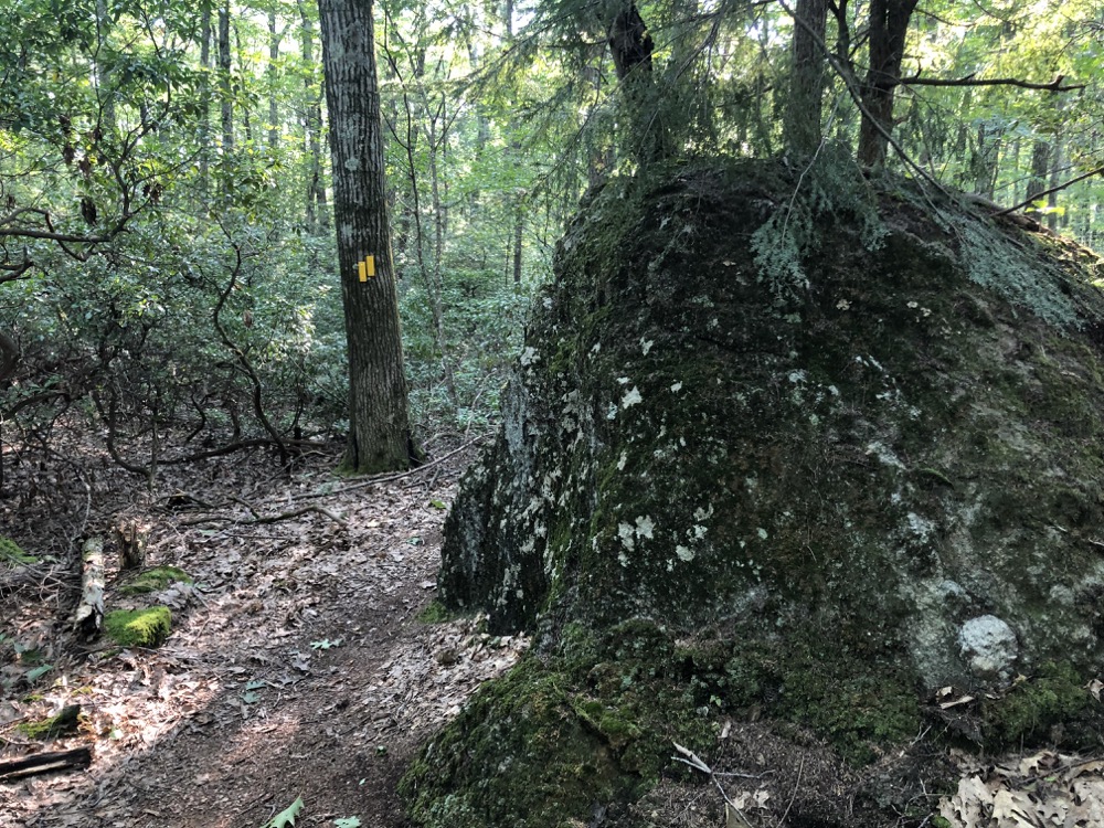
I guess that’s essentially what I did in the end, as I was determined to walk the whole yellow. Pretty much. Back into the woods and up the hill to the intersection with the blue trail – which I backtracked on a bit to see a cliff. I just wanted to see the cliff, okay? It’s maybe the best rock feature of the whole property.
The maintainers have their work cut out for them, as there’s a nice laurel tunnel here which is always hard to keep back. I finally reached Breezy Hill Road and commenced the (dirt, rarely driven) road walk back to my car. Road walks in western Canton are more or less really wide trails. In other words, they’re nice road walks.
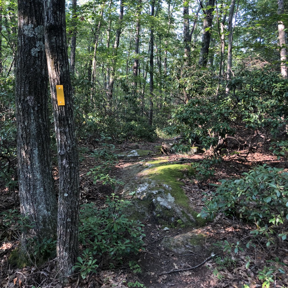
Now, if I were to walk the other direction on the road, I’d soon come to the trailhead for the Ted Wright Trail and Capen Cabin. Alas, that would wait another day for me, but that trail paired with this preserve would make for a pretty taxing – and beautiful – day out in central Connecticut.
To make the point again, this area – Breezy Hill Road and the preserves here – are on top of the same hill that New Hartford’s Ski Sundown is located. It’s fairly undeveloped, quiet, and just a really, really great area for trails.
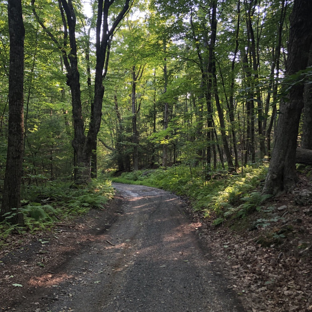
Breezy Hill Road road walk
Canton Land Conservation Trust
CTMQ’s CLCT’s Trails

Leave a Reply