Hanging on for Deer Life
Colebrook Land Conservancy’s Deer Hill Trail, Colebrook
July 2024
Alternative title: Deer Fly Trail
This trail is great. I just wanted to put that out first. Any complaints below about biting insects is simply a result of time and place; certainly not something anyone can do anything about.
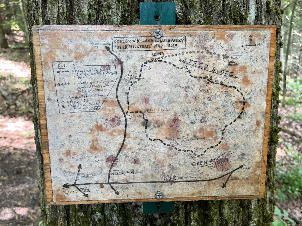
The Deer Hill Trail features both a 1.3 mile loop trail and a .6 mile spur trail that gradually climbs to the northwest summit of the property. This was my very first Colebrook hiking experience, but it’s not like Colebrook is fundamentally different from neighboring Hartland or Norfolk. This meant this was my first Colebrook Land Conservancy hike of course.
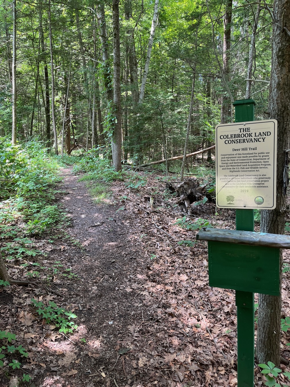
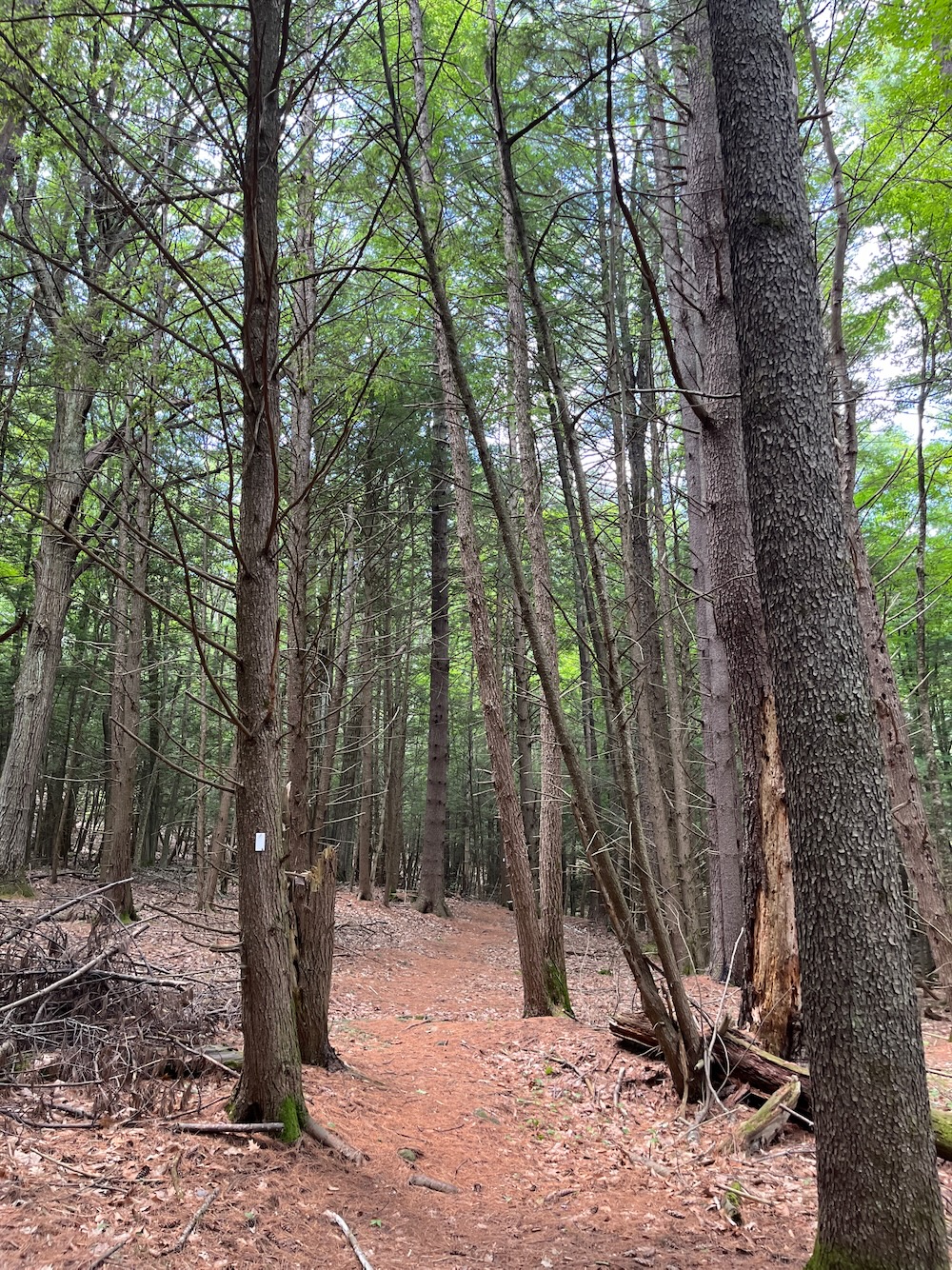
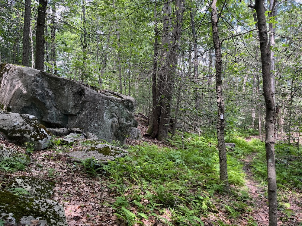
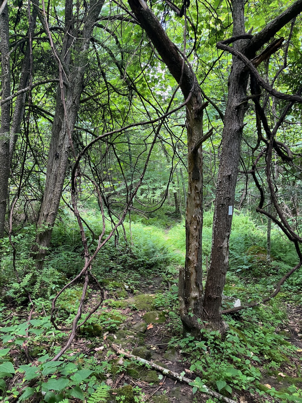
If the goal here was to give hikers a taste of as much diversity as possible in a half an hour, they succeeded. The trail took me through every southern New England forest type, gave me a decent view across a valley, walked me through a swamp, and even up an incline requiring rope assistance.
Intrigued? Good.
There is parking for a few cars along Deer Hill Road at the trailhead. I think that’s probably plenty of space for such a remote trail – I was alone for my hike which wasn’t surprising considering it was nearly 100 degrees with high humidity. Fun times.
The CLC provides a little box with some pamphlets inside at the outset. Not a trail map, but rather a long explanation of the local iron industry in the 18th century. Colebrook had a good run back then, and evidence of the charcoal burning platforms still exist here at Deer Hill. The pages were laminated and hikers were asked to take picture of the article if we were interested.
There is a map posted on a tree here; I hope the CLC plans to replace this by at least 2025, as weather and time will do it in for sure.
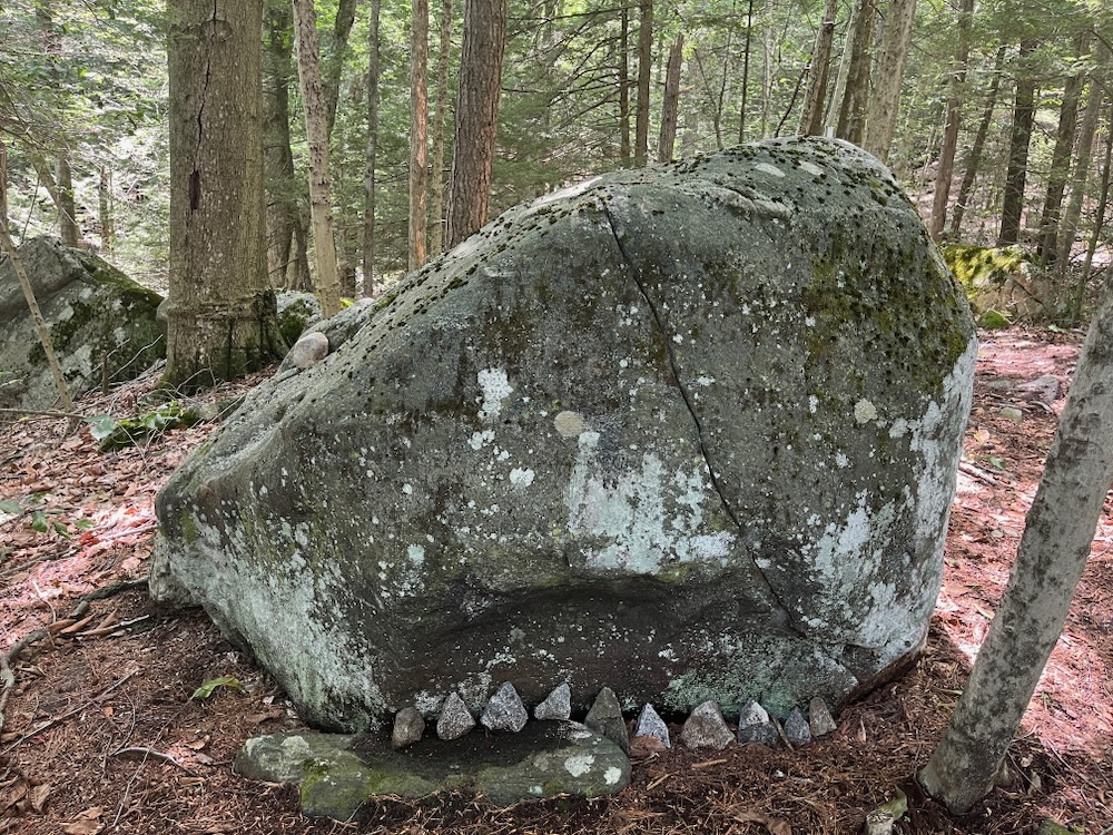
I went clockwise around the loop and suggest you do the same. There are two reasons for this: the perilous ascent to the summit comes earlier rather than later and Shark Rock. Yes, Shark Rock.
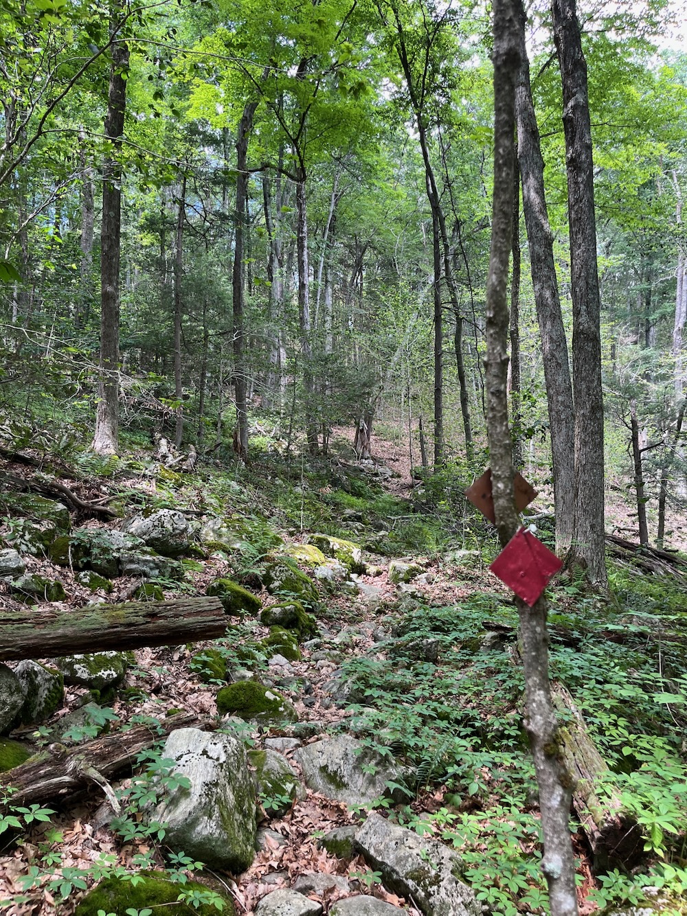
After a lovely walk through a large pine stand, I took the red diamond blazed spur trail. If you tend to avoid rock scrambles, you probably want to avoid this spur. I imagine inclement weather makes this final spurt to the summit pretty difficult.
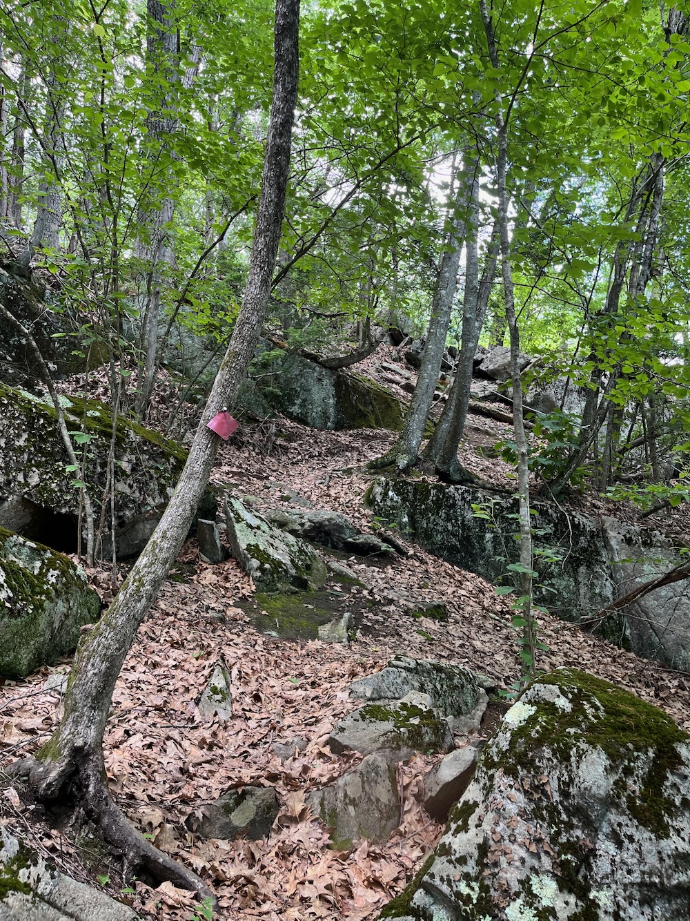
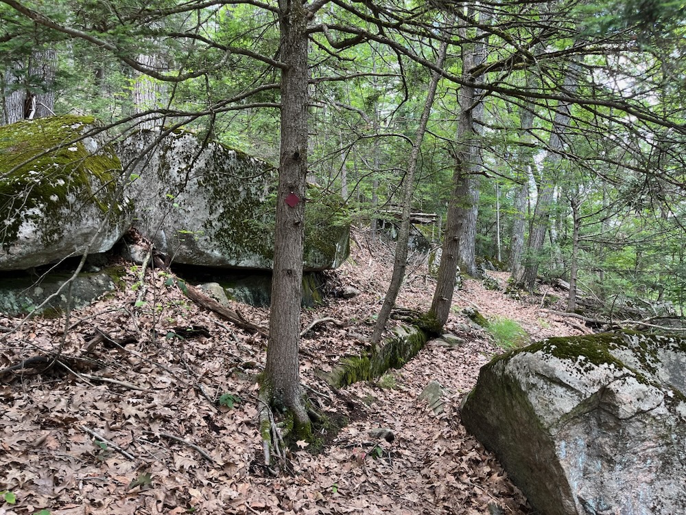
Most of the trail is fine; squeezing around boulders while gradually climbing up. I was spurred on by the constant presence of no-see-ums, mosquitoes, black flies, and deer flies. The make-up of the biting pests changed with elevation, proximity to water, and vegetation, but there were also several around my head the entire way around this property.
Does anyone else ever think about the lives of these insects? Like, what is that mosquito doing all day here in an isolated patch of woods in Colebrook? What is its life like? And how excited is that mosquito when I come traipsing into sight? I can’t imagine the incredible joy she must feel.
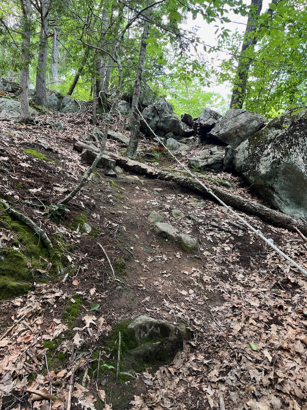
Anyway, after half a mile of rugged but easy trail, I suddenly had to scramble up a bit and then faced a 15-foot steep incline. Now, I could easily have scrambled up it, but the Land Conservancy has provided a rope with which to aid the ascent. How nice of them! This is certainly a rarity here in Connecticut and I frankly can’t think of any other trail with one. I can think of a few that could benefit from them I guess.
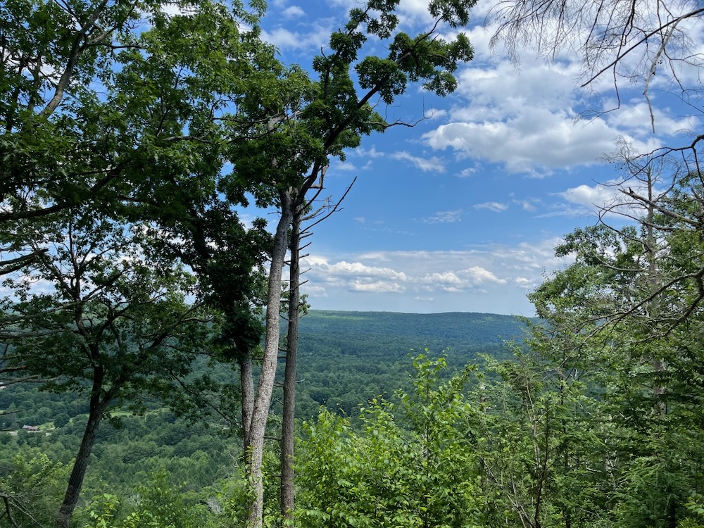
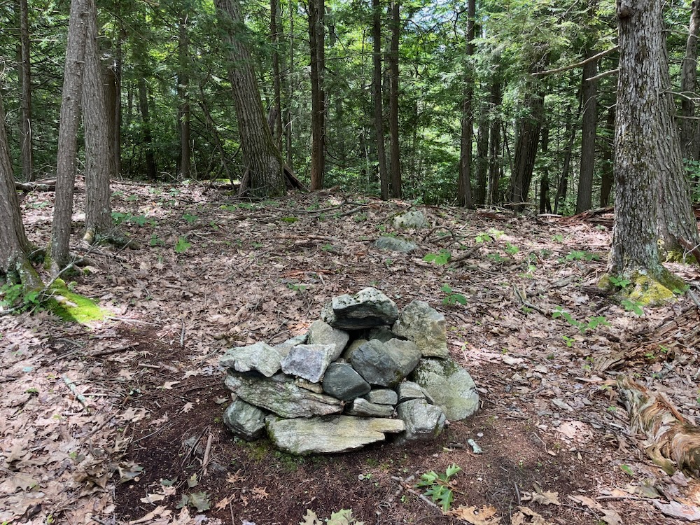
Once up that bit, it was a short walk to what I’m assuming is the summit of Deer Hill. Someone has built a firepit here and the views are pretty nice, even in early July. I imagine they are much more expansive in February.
The return trip follows the same path and I guess the rope is more beneficial to many people on the way down.
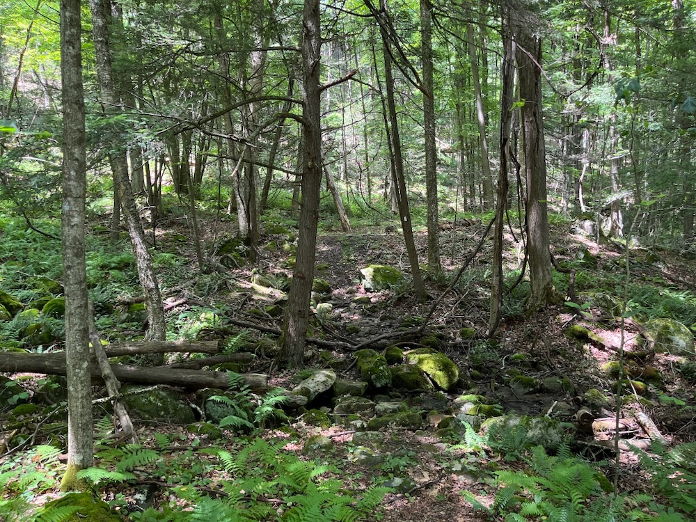
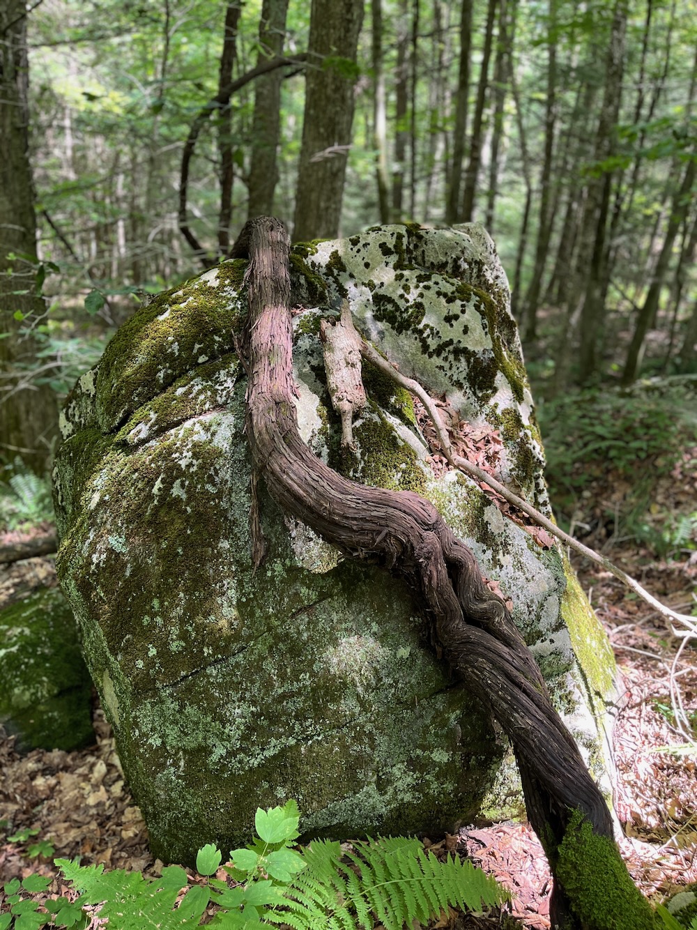
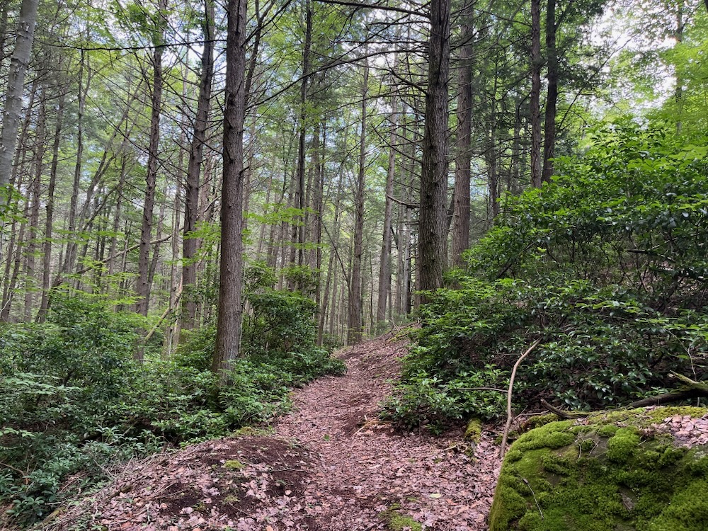
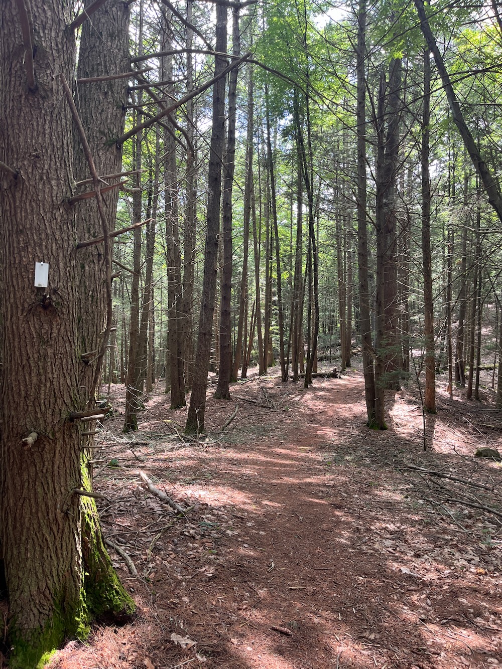
After that bit of fun, it was around the loop. It’s a little over a mile long and first descends into some wetlands. This mean more insects. My word, the deer flies here were as bad as I’ve ever faced in Connecticut. (Perhaps being so close to Massachusetts, I can say they weren’t native Nutmeggers.)
The trail is nice and as I wrote, you’ll experience a variety of flora which is always nice. Just know that with ever foot you descend into the little valley, you’ll later be climbing back up to your car. The climb back up is fairly gradual and if you’re being eaten alive, that will motivate you to keep moving at least.
Once back into the pine forest of the higher elevations here, you’ll come upon Shark Rock. It’s only visible to hikers walking the clockwise direction and it’s… pretty silly. It’s just a large boulder off to the left of the trail that someone felt looked vaguely shark-like. It really doesn’t, at all, but someone has added shark “teeth” and an eye and… it still doesn’t look like a shark.
It’s still a fun thing to end this hike with. A hike which I very much recommend, but perhaps not in early July after a very wet spring during mosquito-deer fly-black fly crossover season.
![]()
Colebrook Land Conservancy
CTMQ’s Colebrook Land Conservancy Hikes

Leave a Reply