Drugs are a Dead End
Farmington River/Tariffville Walk, Simsbury Land Trust
October 2013
Ok, listen: You can skip this one. With so many beautiful and darn near pristine land trust properties in Simsbury, this one doesn’t really need to be on your list. Oh sure, it’s a lovely and important property – but it’s just not exciting.
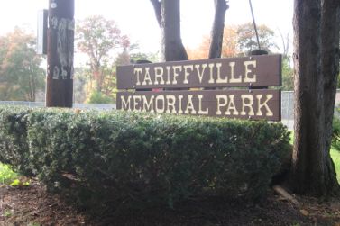
And frankly, there are several other hikes along the Farmington River that will provide you with more enjoyment. But I did have the pleasure of watching a great blue heron quietly standing in the river and that was pretty cool.
Tariffville Park is a surprisingly expansive town park at the end of North Main Street extension in Tariffville (the road the Cracker Barrel is on). Just keep driving down it, over the stupid speed bumps and into the park. I’ve seen the gate closed before, so it appears to be a bit of a seasonal park. I don’t really know.

The Simsbury Land Trust’s (old) Walkbook suggest parking in the lot at the playground and ball fields and walking down the road.
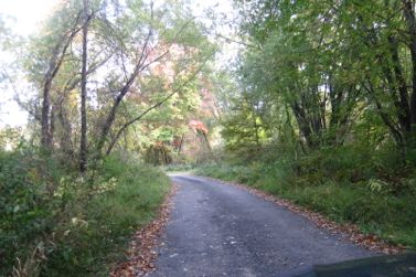
There is never really a trail here, but rather a road. There are trails that head off into the woods from the road, and one or two of them very well may lead somewhere interesting, but I quickly discerned this floodplain was a Simsbury party spot and figured those trails were just spurs to head off and smoke pot or have awkward muddy teenage nookie.
So I stuck to the road.
An outdated description of the area states:
This is an interesting and beautiful walk along the Tariffville section of the Farmington River. The trail starts as a narrow dirt road [since paved] before it turns to bluestone. Vegetation along the path is indigenous to a floodplain with a unique mix of shrubs, grasses and woody trees. Along the way you will spot old railroad river piers from the days when the Central New England Railroad used this route.
The road winds its way to the river. It’s boring.
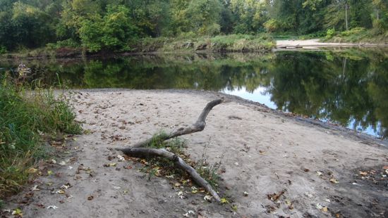
Once to the river, there are pullouts for parking and I wasn’t alone! It does feel quite remote and the Farmington here is very slow and lazy. In fact, there is an oxbow here which is mildly interesting because in short order, the river hits some rapids which are used for some national canoeing and kayaking competition. Further along is Rainbow Dam at which point you’d best portage out. Otherwise, you’ll die. And stuff.
I went down to the little “beach” area and watched a lone kayaker ease his way to shore. He asked about this being a party spot for local teens and I pointed at a massive pile empty beer cans across the river. It looked to be private property over there, but who knows. A disgrace either way.
I spoke with the guy for a few minutes and he went on to talk about some “Puerto Ricans” who hassle fishermen in this cove. I told him I have no idea about that, but why would teens party here? This is a mile-long dead end with absolutely no escape-from-cops route other than swimming.
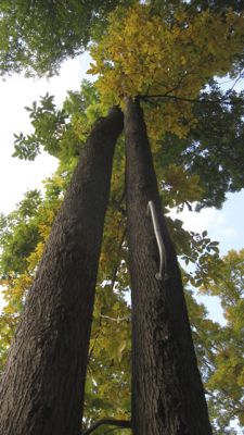
We agreed drunk teens are dumb and parted ways. On my way back I took a side spur and found the vestiges of … what, I’m not exactly sure. A hunting blind? A high dive or, more likely but equally suicidal rope swing? The water level was low during my visit, but man, you’d have to be nuts to jump from any height into the river from here. Of course, this handle could well have been implanted 20 years ago when it was 10 feet closer to the ground I guess.
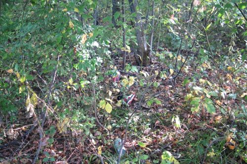
Can you spot the Air Jordans?
That was pretty much it, save for the random pair of old school Air Jordans in the woods and seeing the heron from the park near the old train trestle supports.
In the end, this little river walk offers something very different from most other Simsbury properties and for that alone, I guess it’s worth it.
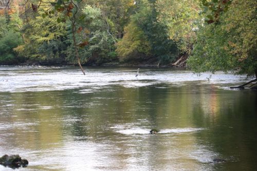
See the heron in the middle distance?
CTMQ Hikes Simsbury’s Town Trails

Leave a Reply