Hike, Forest, Hike
Forest View North & South Trails, Somers
May 2024
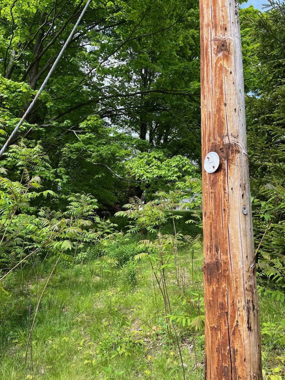
Firstly, how cool is this? I’m not sure I’ve seen this signage anywhere else in Connecticut other than on Routes 341 in Kent and 7 in Salisbury for the Appalachian Trail.
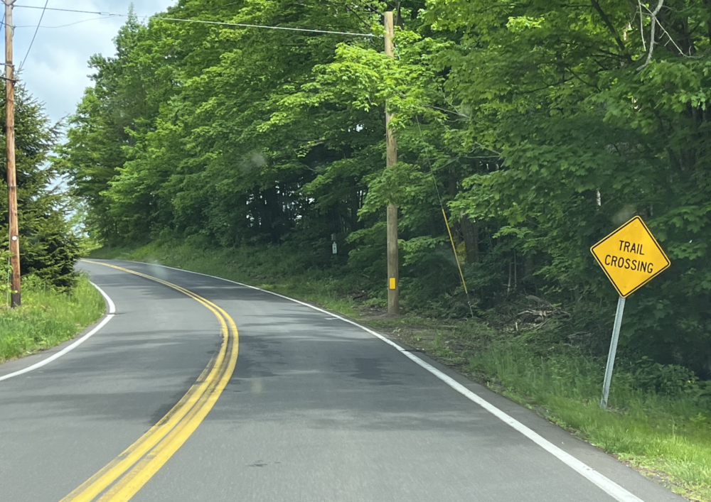
Of course there are many others around the state… I’m just not recalling them. Anyway, see that space before the telephone pole? That’s pretty much the one parking spot here on Mountain View Road. Take it if it’s available. If not? Good luck.
“Telephone pole.” I guess that’s now an antiquated term, huh? Hey, Gen Z/Alpha: What do you call those things?
If you can’t park here, you could park at a dozen other locations north and south of here. For this spot is in the middle of great trail networks at Shenipsit State Forest to the south and Whitaker Woods and the McCann Family Farm Trails to the north.
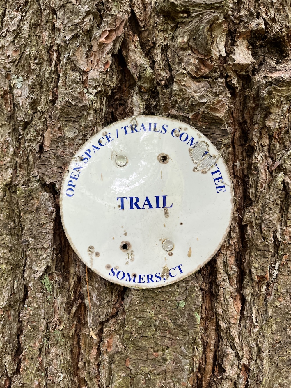
The Forest View North & South Trails serve as a connector between the two areas, and I love that the town of Somers created the path. You can park at either end, or in the middle, and hike all day with the connector being the only repeated miles. You can take in the tower on Soapstone Mountain and walk a chunk of the Shenipsit Trail from here if you wish. If you park at Whitaker Woods and your goal is to head straight for the Soapstone Mountain Summit, you can do that in under 4 miles.
Since I parked in the middle of the Forest View Trails, I’m going to write them up as I hiked them. Deal with it.
Forest View South Trail
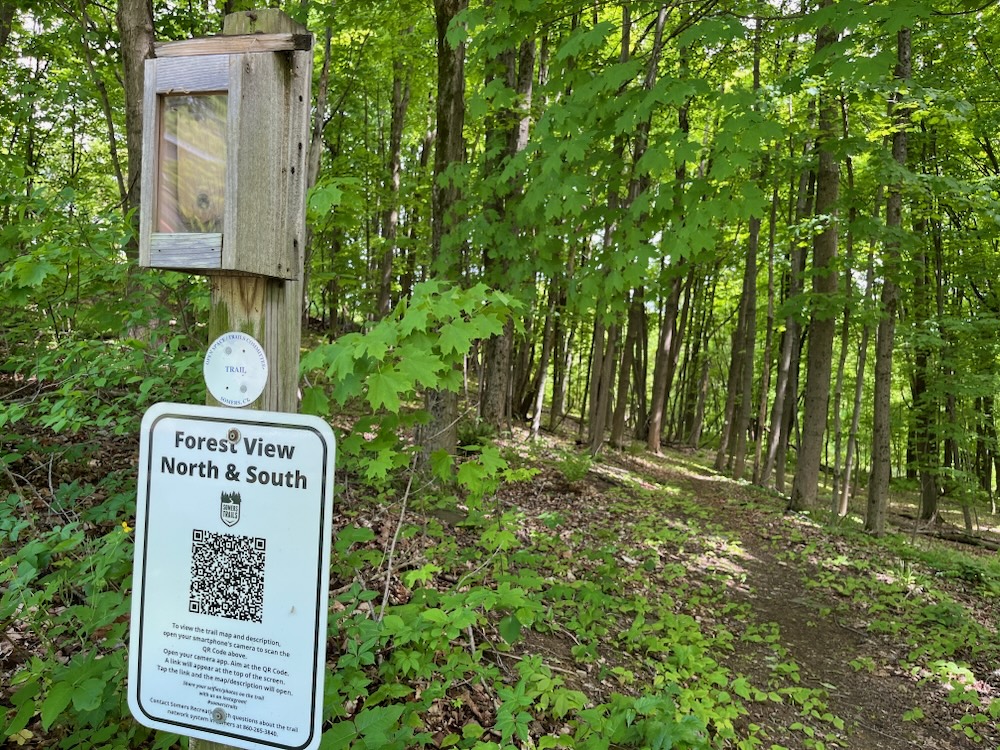
Heading south towards the state forest from here is easy. There’s a little trailhead sign and a clearly visible trail. These trails are also horse trails and if you’ve read any of my stuff on the Shenipsit State Forest, you know that horse trails are a big thing here in Somers.
The Forest View Trail as well as the main trails in Whitaker Woods are open to horses as well as hikers. If you see riders approaching, move off to the side of the trail and wait quietly for them to pass. Do not make sudden moves or reach out to touch the horses as you may spook them. Always ask the riders permission before approaching a horse. As always do not leave trash on the trail. Please clean up after your pets and keep them on a leash at all times. Equestrians are asked to police the trail within two days after their ride to remove any manure which may have been left in the trail.
Yeah. Okay. Sure.
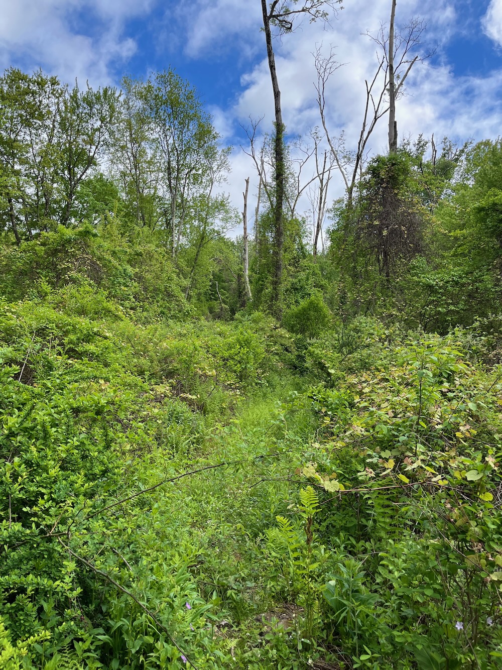
Now, I didn’t see any horse manure on this trail but I’m going to guess that’s due to the trail’s condition rather than equestrians pooper scooping road apples two days after riding the section.
Because yes, after the short stint of open, yet quite wet, trail from my car, things got a little dicey in May 2024. The town’s white disc blazers are easy enough to follow, but the town doesn’t put trail maintenance at the top of their to-do list. It’s easy enough to navigate, but I did have to scramble over half a dozen blowdowns and pick my way through plenty of bittersweet, multiflora rose, and other junk.
This stretch includes two stream crossings. The Town of Somers has received a DEEP grant to construct bridges at both crossings suitable for both equestrians and hikers in 2017. I can’t explain why, but I rather love the apocalyptic nature of my photos of them:
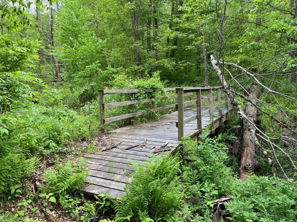
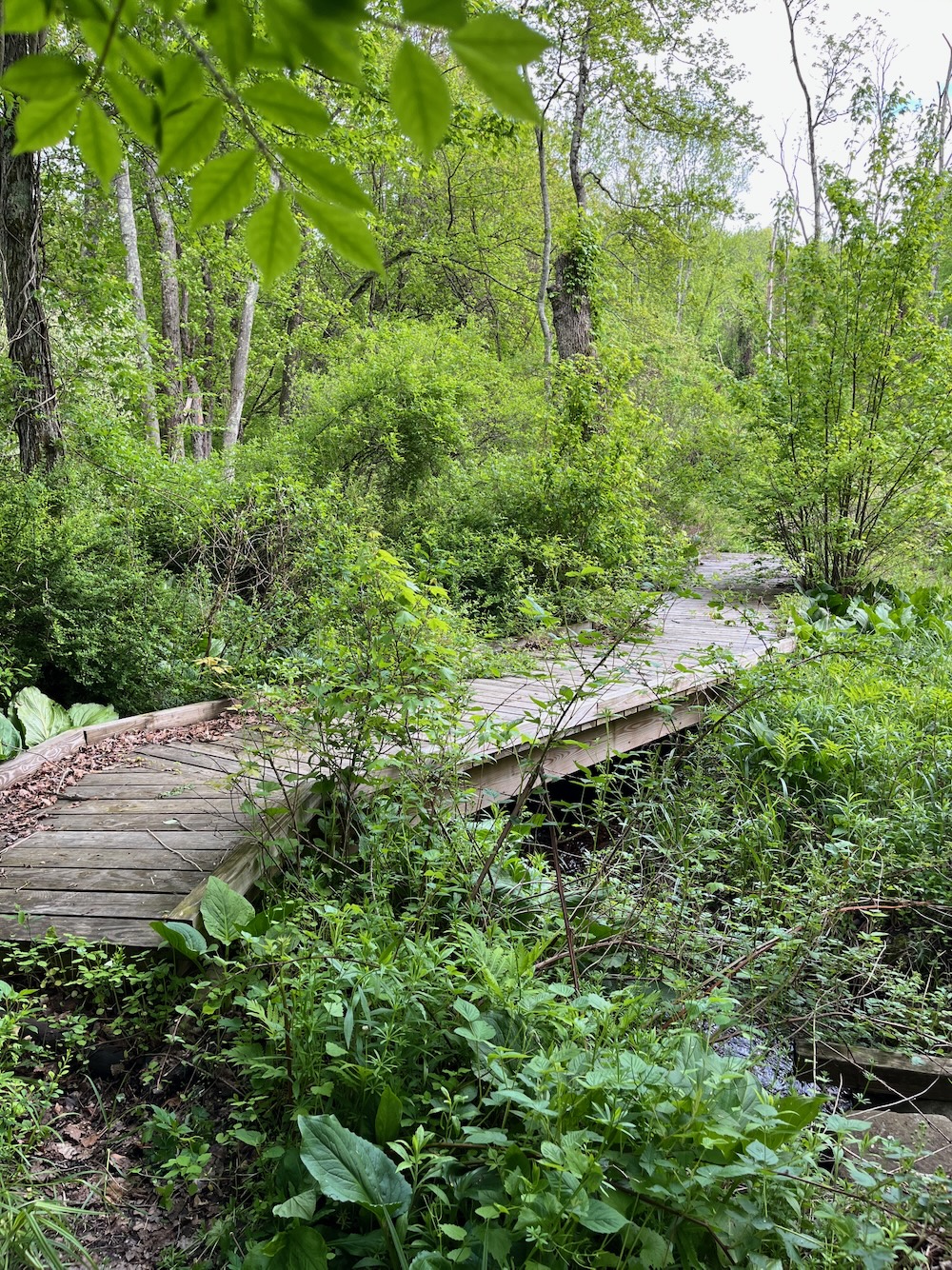
Nature. Always. Wins.
After the bridges, the trail ascends up to a ridgeline. The climb didn’t present too much difficulty, but the trail conditions did. It would only take a day for a couple folks to come in here and clean this trail up, and I hope they do. For as I’ve said, the connection between the properties here is really quite cool.
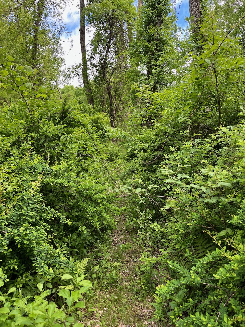
Once atop the ridge, I crossed into the state forest – yellow banded trees is the clue – turned left through a stone wall, and once the Forest View Trail ended, was immediately confronted with the usual confusion of state forest trails. Here in the fringes of the state’s land, blazing isn’t the highest priority.
But the trails are clear and wide, and will almost always bring you back to this spot.
As for me, I looped around and down to the Shenipsit Trail which connected me to this same yellow-blazed trail which took me back up to the Forest View Trail and back to my car.
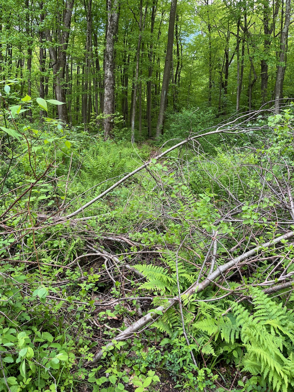
Yes, this is the trail.
Forest View North Trail
If you, like me, actually park on Mountain View Road and plan to hike north into Whitaker Woods, my first inclination is question your decision. I mean, why? You’re not writing a website about every trail in Connecticut or, one hopes, trying to “complete” everything there is to do in Somers.
Here’s the deal: Finding the North side of this trail isn’t easy. And if you’re uncomfortable walking very close to houses and their yards, well, then you’re going to hate this. But if you come down from Whitaker Woods, you won’t care. You’ll just amble through from the woods. There’s just something so different about starting at someone’s house to me.
The trail follows a narrow corridor of town owned land. Please respect the private property on both sides by staying on the marked trail. The trail crests a hill behind homes on Miller Drive…
Yes. Yes it does.
But hey, after you avert your eyes from the families in their pool and the others on their deck, you enter into deep woods and in just a few minutes, voila! Welcome to Whitaker Woods! (The sign is your first clue, the yellow blazes your second.)
From the road, I just sort of crashed through the vegetation off the road trying to split the houses as best (and as quietly) as I could. There is a trail that comes out to the road, maybe 15 feet west of the pole with the trail blaze on it. There’s a cool little bit of old (really old) road here with stonework on both sides.
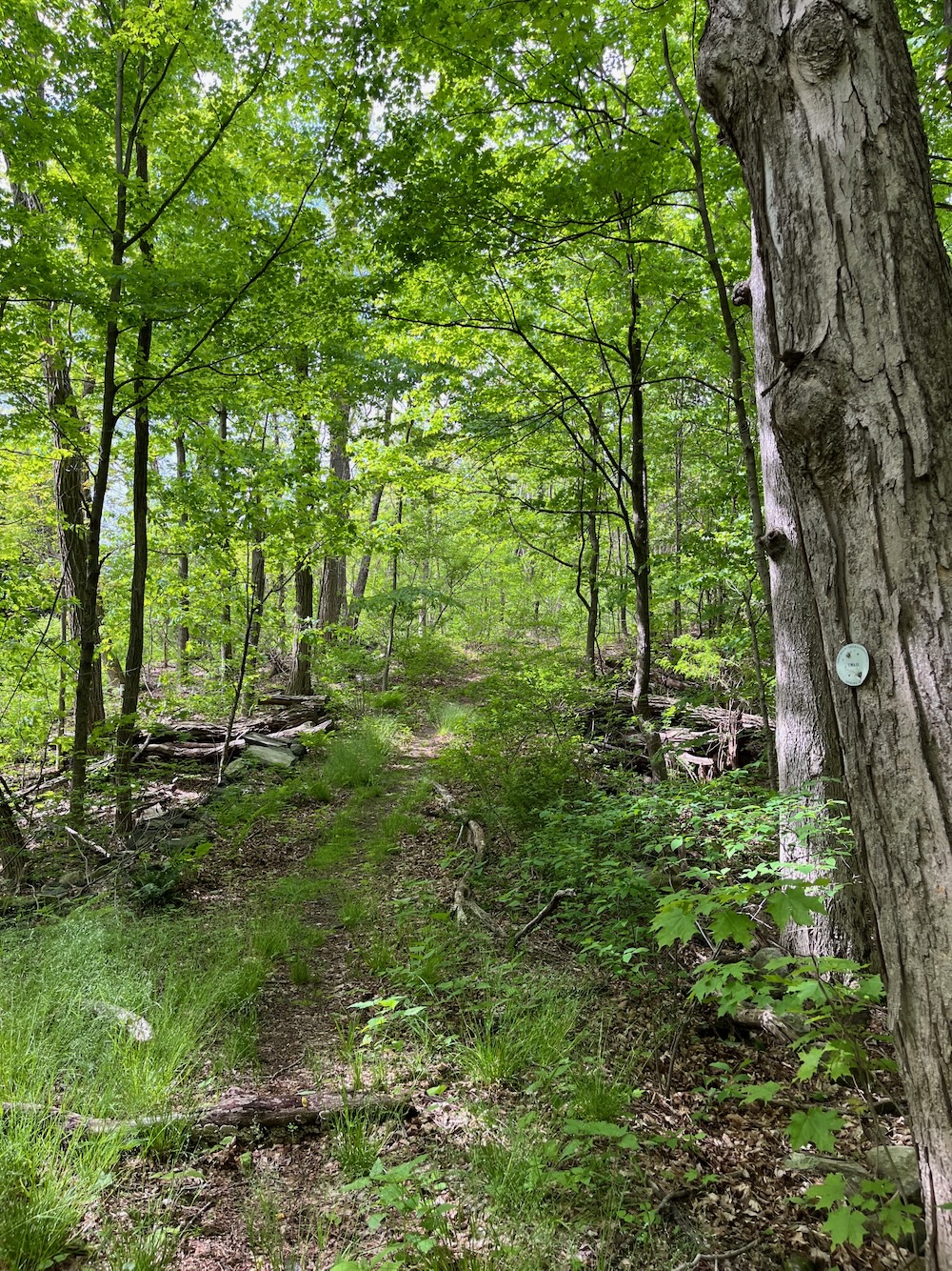
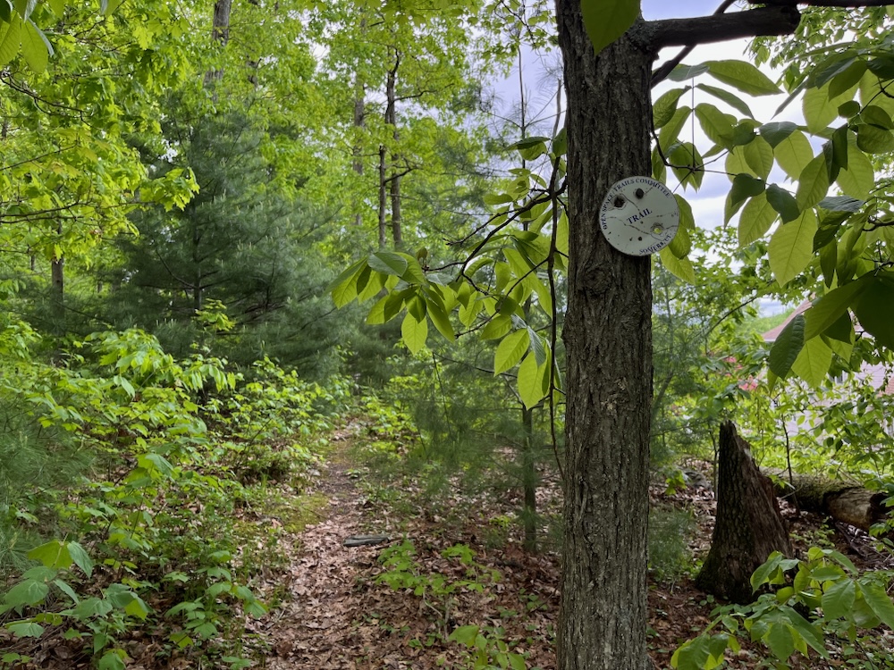
Coming back the other way is much easier, but man oh man are you close to a house with many backyard amenities.
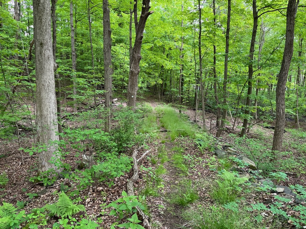
Still, this trail takes you north to some great properties; Whitaker Woods and the McCann Family Farm Trails are well worth your time. Meticulously maintained and if fields of ferns are your thing, you’ll be in heaven.
As for the purposes of this particular page, we’re done.
![]()
CTMQ Hikes Somers’ Town Trails
Shenipsit State Forest Trails
Whitaker Woods

Leave a Reply