This $#!+ Is Bananas, B-a-n-a-n-a-s
Colebrook Land Conservancy’s Hale & Rockwell Trails, Colebrook
July 2024
As of this writing, the Colebrook Land Conservancy manages four trailed properties. The two on this page are combined on their website, so I’m just following suit. And it makes sense, as both are short and flat loops just a short drive away from each other.
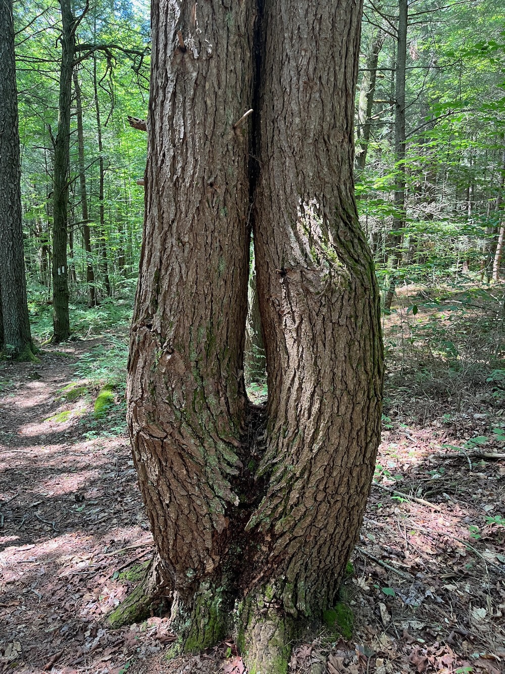
If you know anything about Colebrook – and you’re forgiven if you don’t – you know that it is sort of known for having giant trees. Both of these properties have several massive specimens. Let’s check these trails out.
Hale Trail, ~ 1 mile
It was a blazing hot July day. The kind of day when my wife questions my sanity as I head out to hike at the height of the heat. (Note: my wife is much smarter than I am.) I mention this because you cannot park at the Hale Trail trailhead. The Land Conservancy folks tell you to park at the Hale Barn, near the intersection of Stillman Hill Road and Route 183. There is another place to park north of the trailhead on Wheeler Road.
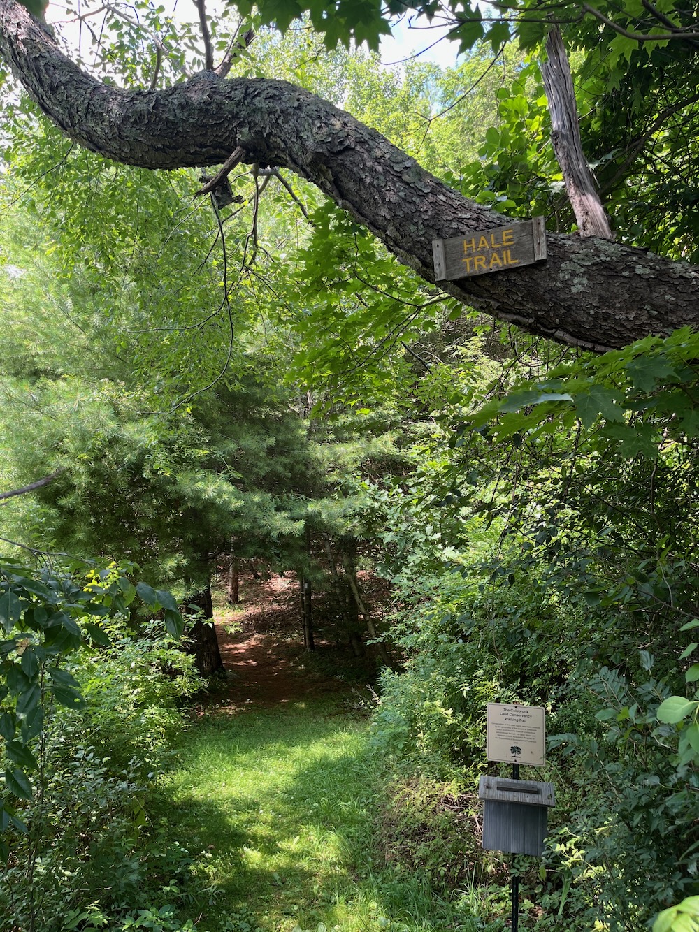
I drove back and forth between the two trying to determine which afforded the shorter road walk under the unrelenting sun.
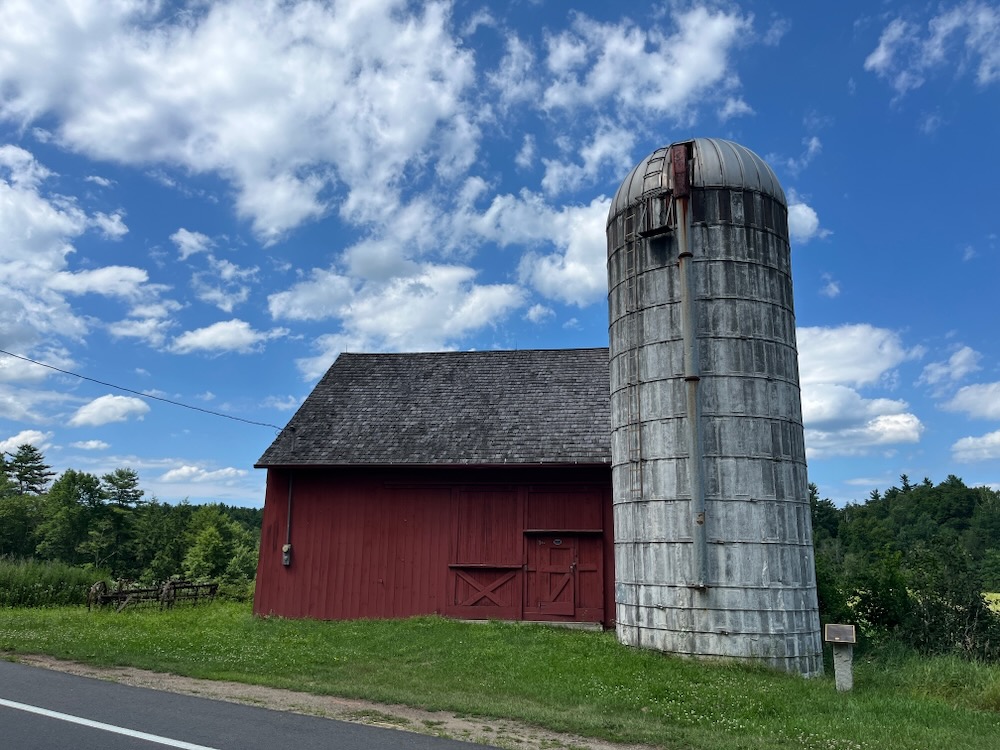
Just park at the barn. It’s only about 200 yards south of the trailhead and more importantly, you get to check out the historic barn. The Hale Barn is a vanishing breed of 18th century barns that once graced much of the Connecticut countryside. Today it is owned by the Colebrook Land Conservancy and is protected along with 38 acres upon which it sits. It’s a lovely barn.
It’s lovely today because of CLC efforts. They removed several additions that had been built over the decades and resided it in 2003. They replaced the roof with cedar shingles in 2009 and even created a replica of the copper weathervane. I’m sure it’s repainted regularly and the fields that still exist are hayed a few times per year.
The last private owners, the Hale family, began the donation process in 1992. Mildly interesting: the son of the last owners, Mason Hale, Jr., became a world-renowned lichenologist at teh Smithsonian Institution after growing up observing lichens at the farm.
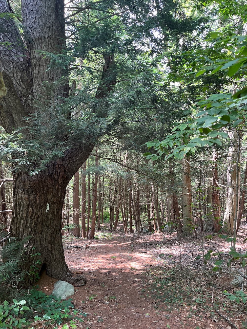
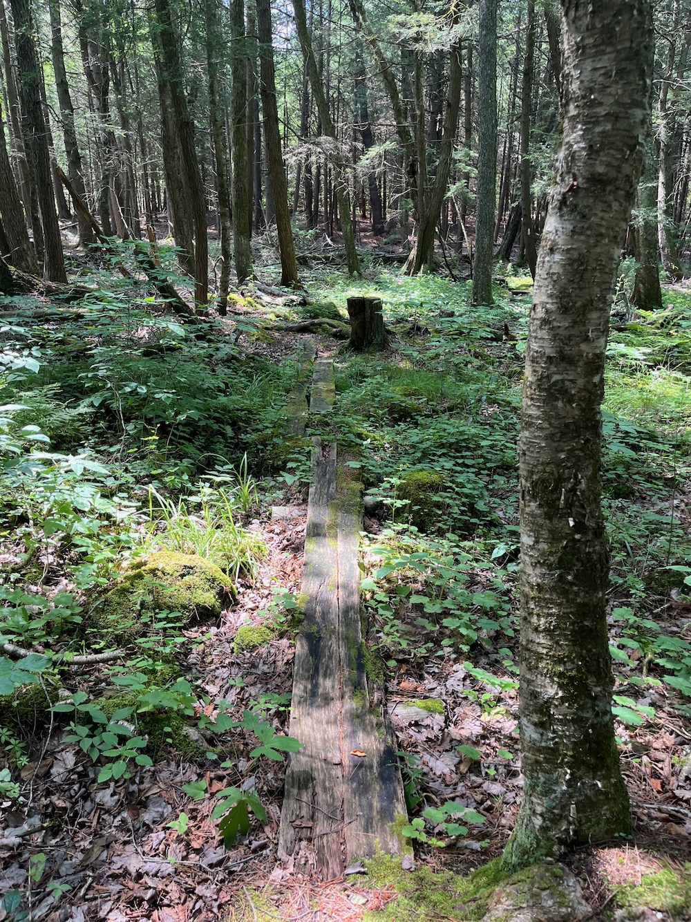
As for the woods which host the trail, they used to be mostly chestnut trees in the 17th century (a stone wall along the trail marks a property boundary from the owner in 1800.) The woods, like most in New England, were mostly clearcut a few times. Today, there are still massive white pines that dominate to overstory and I can’t believe they’re less than a hundred years old.
I found the trailhead off the road – you really have to be looking for it – and dipped into the woods. Away from the traffic, it was just me.
Well, me and the mosquitos, deer flies, and gnats. My word, this summer has been brutal with the flying pests. The CLC provides a little box that holds informational fliers. I took a look and the papers were covered in tiny little ants. Sorry little guys, I need to take a picture of this information so I can write things like how the stone wall along the trail was the property boundary of the farm’s owner in 1800.
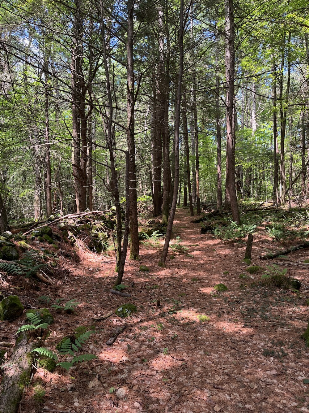
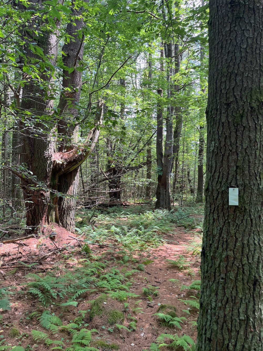
This little loop traverses some wet areas, but there are planks and boards to get you across them dry and safe. There’s really not much to this trail other than the massive pines along the way. Oh, and that old stone wall I guess.
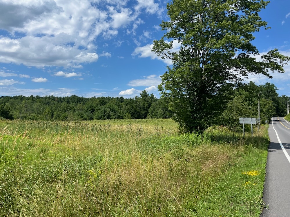
It’s a very pleasant, easy hike that affords time to think about the generations of Colebrook farmers and what it took to clear this land back in the day. It also affords you opportunity to take postcard worthy pictures of the Hale Barn at the beginning or end of your hike.
![]()
Rockwell Trail, ~ 0.5 mile
I’m a fairly neat person. I may not always look it, but I think I am. I like order and cleanliness.
This places me at odds with my (now) 13-year-old son, especially as it relates to his soccer gear. Constant trainings require eating on-the-go. I have found days old bananas and melted protein bars in his bag on too many occasions. Well, as I was looking in my hiking backpack for something before setting out on the very short Rockwell Trail, I found this in my pack:
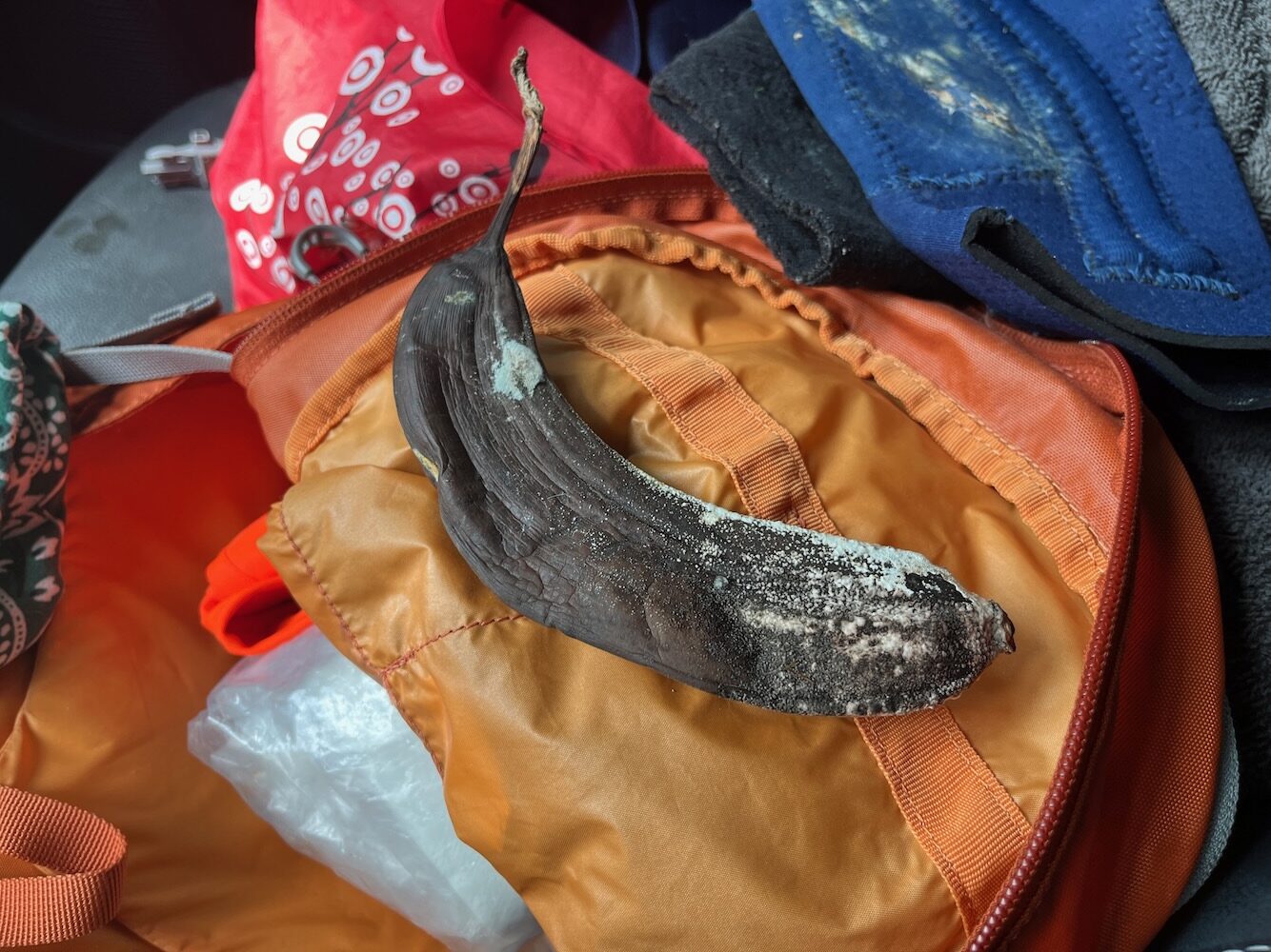
Oops. I’m not mad about the desiccated banana… I’m just mad I can’t get upset with my son about this stuff anymore.
Of course, no one needs a pack for the Rockwell Trail. I just bring it with me anytime I go hiking and leave it in the car for anything under a few miles.
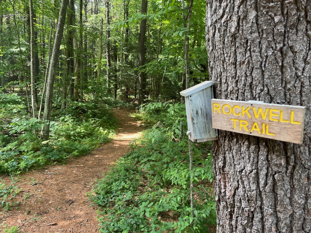
The Rockwell Trail, though slightly less than a half mile long and easy to hike, provides rewards that you might expect from a much longer trail. This land has been used for only three purposes since the 1760s: harvesting trees for making charcoal and timber for lumber, stone quarrying and sheep raising. The last time it was lumbered was in the 1980s (timber will never be cut here again); the larger pieces of slash (woody debris) from this operation are still evident. The small trees that are trying to regenerate as a result of this timber cutting are a good example of an intermediate forest. In a few years most of them will have died as a result of aggressive competition for the limited amount of sunlight. When a more mature forest is established much of the underbrush and small branches that litter the ground will be gone, resulting in easier walking and better views.
After the first 100 yards, the trail splits, and forms a loop. Bear right at the split, and the first point of interest is a large white pine at the top of a small rise. This pine survived timbering because it does not contain a straight trunk, thereby yielding a small amount of usable timber in relation to the effort required to harvest it. Lumbermen refer to such trees as “wolf trees”; in this case a “wolf pine.”
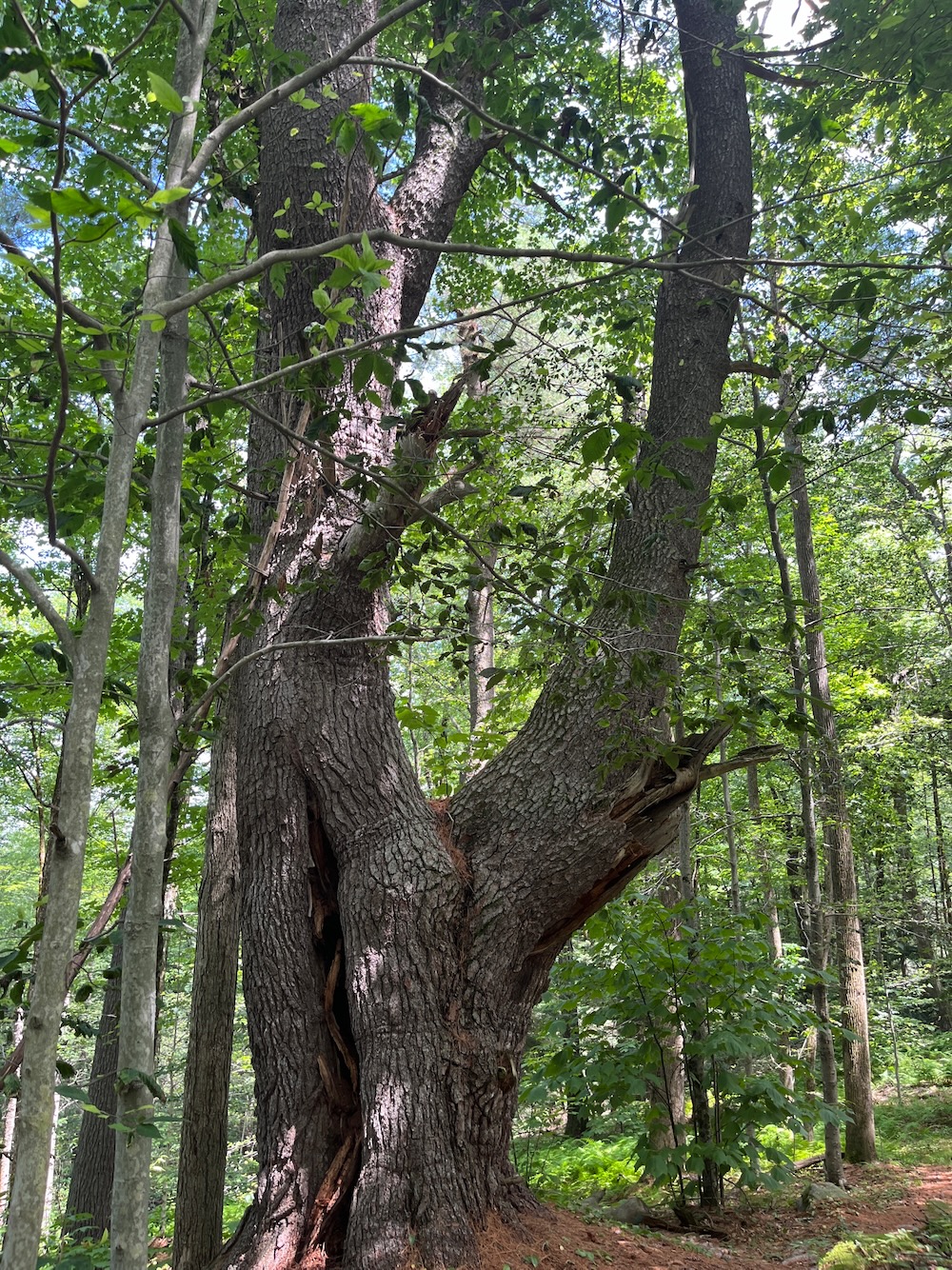
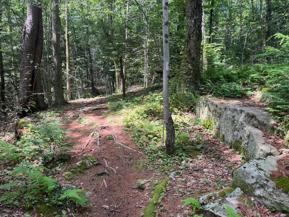
Now I feel like even more of a chump… more than I did after finding that banana. This was my last little hike after an afternoon of extreme heat hiking, so I just flew around the loop. Yes, I surely noticed the wolf pine, but I missed a couple of other details that the Colebrook Land Conservancy helpfully provides us.
A few feet behind the wolf pine, a cliff becomes visible off to the right that will continue for the next two or three hundred yards. This is the area that was quarried during the late eighteenth and early nineteenth centuries.
You can still see evidence of this operation a little further along the trail that now bends to the right in the form of a rock that defied the best efforts of the quarrier to split it in half. The weathered metal objects you can see embedded in the stone are called plug and feathers; two tapered pins (feathers) are inserted into a hole drilled in the stone and the plug is pounded between them, causing the pressure to split the stone. If the quarry man miscalculated the grain of the stone, he was unable to split the stone and the feathers and plugs remained stuck inside, as seen here.
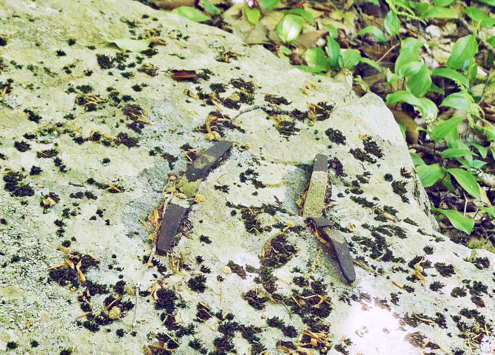
Feathers and plugs, from the CLC website
I missed that. I wish I’d read this trail description beforehand, and not now a couple weeks later at my desk. Because there’s more I missed! Like a rotting log that looks like a camel’s head!
…The land descends from here, and as it levels off you will see a broken tree trunk with small hemlocks growing from its upper surface. One end is five feet above the ground and looks very much like a camel’s head. As the trail passes near the left of the broken tree, close observation will reveal a virtual miniature garden of plants and mosses growing on its upper side. Several more yards bring you to a large boulder on the left side of the trail. The flat surface facing you is the result of quarrying (note the drill holes).
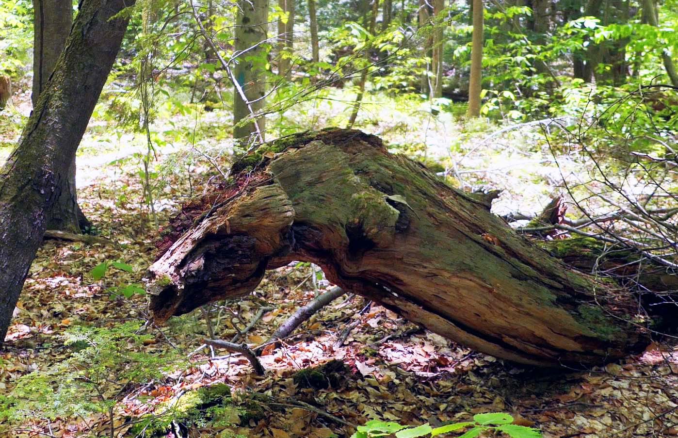
Camel’s head(?), from the CLC website
Does that look like a camel head? I guess so. I forgive myself for not noticing that – especially since I walked clockwise, which was apparently a mistake here.
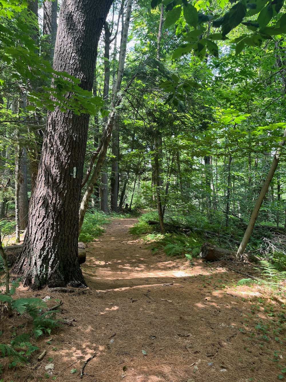
There are huge striped maples and white pines here. The trail is flat and soft and seems almost ADA compliant it’s so nice. But it’s also really very short, so I’m not sure I have much more to say about it.
Colebrook is a beautiful, rural town. The Hale Barn is emblematic of Colebrook; it’s agricultural past and rural present. It’s just a great town to “get lost” in and I look forward to exploring it more.
![]()
Colebrook Land Conservancy
CTMQ’s Colebrook Land Conservancy Hikes

Leave a Reply