A Good Win For All
Goodwin State Forest
Chaplin & Hampton
Good ol’ Goodwin. As you can imagine, I doubly enjoy our state forests with a good trail system. And I triply enjoy those with a good trail system and a museum. There are more than you realize, trust me. In fact, as I type this sentence I’m going through my mental Rolodex (ask your parents, kids) and thinking of a whole bunch of Connecticut state forests that have museums within them and it’s made me realize that this place isn’t all that super special after all.
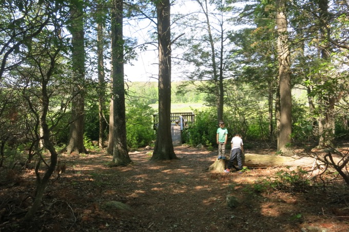
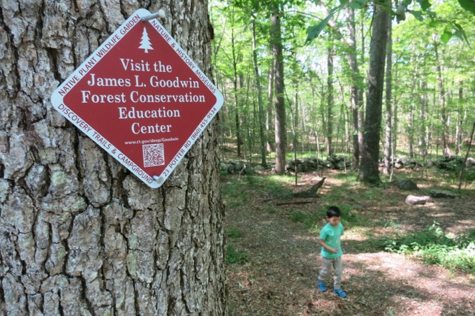
Except that it is. James L. Goodwin was one of the state’s earliest conservationists. He attended the Yale School of Forestry when it was still in its infancy and graduated in 1910. Three years after his graduation, in 1913, Goodwin came to Hampton and purchased his first piece of property. Of these three acres of white pine and 25 acres of open field Goodwin wrote, “…it was my ambition to own, develop, and operate my own timber acres according to the best forestry principles.”
From those first 28 acres then to over 2,000 today, Goodwin expanded and improved his forest lands throughout his life. He named it Pine Acres Farm and built dams to create both Pine Acres Lake and Black Spruce Pond. In his will, Goodwin made a generous gift of this, his personal forest, to the state of Connecticut in 1964. This is an actively managed forest today and is a hub of outdoor activities – as much of a hub as a hub can be in Chaplin and Hampton anyway.
Let’s hike! (Jump down to the trails East and South of Pine Acres Lake)
![]()
North and West of Pine Acres Pond
CFPA Natchaug Trail
The 19-mile Natchaug Trail takes hikers from Ashford down to Route 6 and the Goodwin Forest entrance and museum in Hampton. It has been rerouted a bit through Goodwin due to some logging efforts, so be sure to keep any eye on the blue blazes when hiking. I hiked this section in 2017, which you can read about here.
Orchard Hill View
Air Line State Park Trail
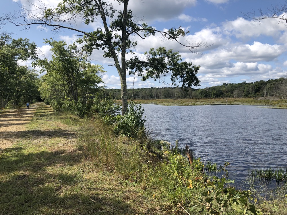
The 60-mile Air Line State Park Trail takes cyclists and walkers from the northeast corner of the state in Thompson down to Portland near the Connecticut River. Calvin and I rode this section in 2021, which you can read about here.
![]()
Orange Trail
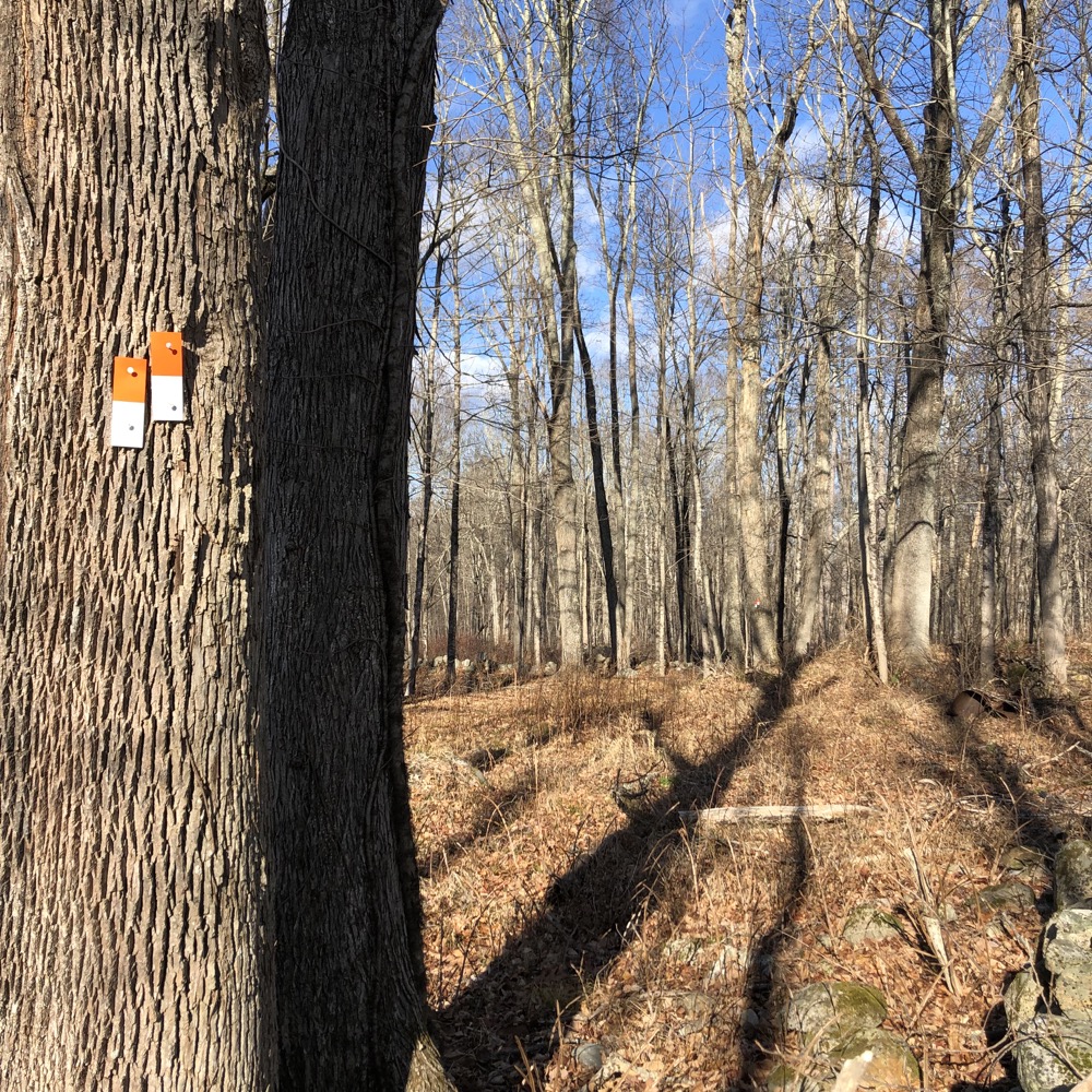
The Orange Trail, and a few of the connectors to it, appear to be new as of 2020 or so. Part of it used to be the Natchaug Trail, part of it was actively logged just before its creation, and half of it is actually in the Natchaug State Forest and not Goodwin. Will you notice this? No, of course not. It’s just woods. Well, where they haven’t logged anyway.
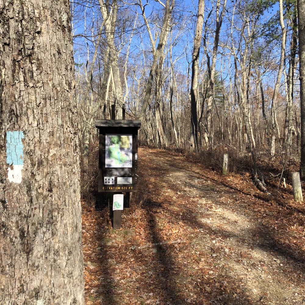
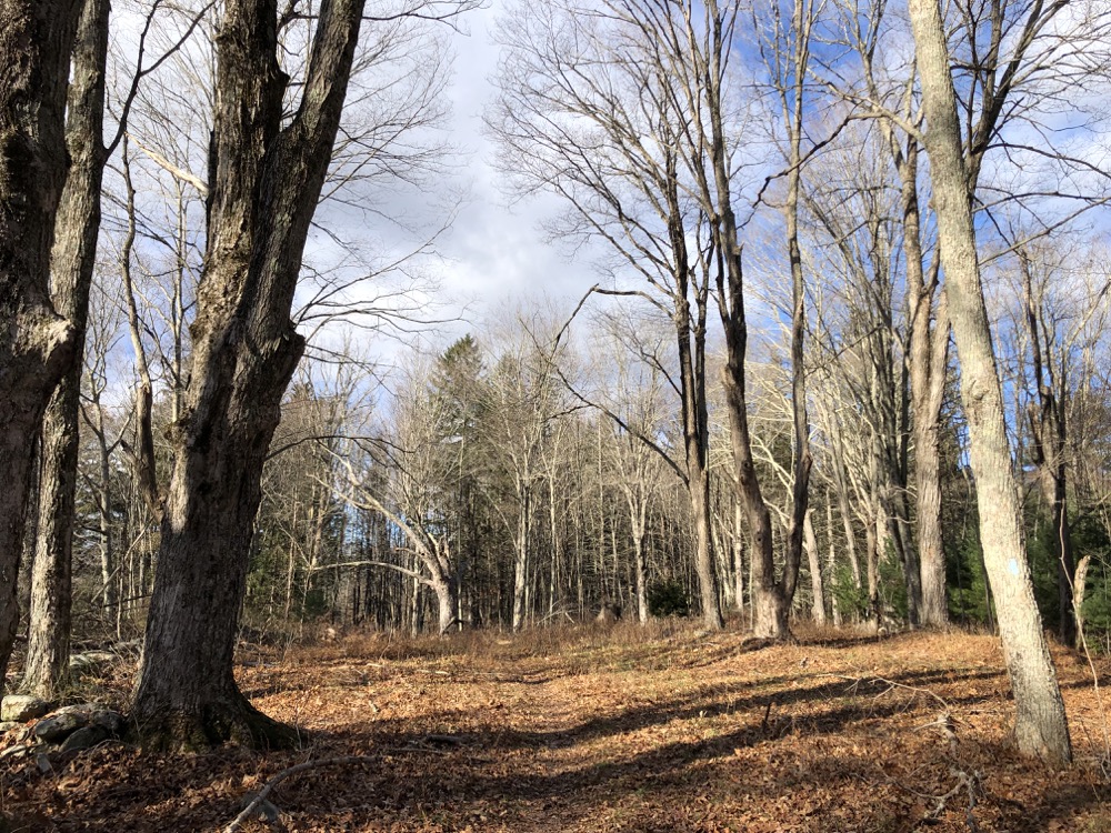
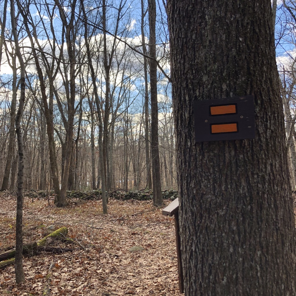
The Orange Loop is about three miles and it’s pretty much totally flat. I can’t stress enough that you’ll need to stay vigilant with regards to blazes and any trail updates posted at the kiosks along the way. I hiked is in December 2021 and the June 2020 DEEP map online was not entirely accurate. And the maps provided on other Goodwin related sites are woefully out of date at the time I’m writing this. The DEEP has installed a bunch of new kiosks in the woods with maps and information which is always helpful.
For example, the horse trails are not on the online maps. And since they share some mileage with the Orange Trail, it can get confusing. Speaking of horses, the posted maps provide some further information. Hopefully it will limit your shock to learn that they grow horses a little bit different out here in the hinterlands of the Quiet Corner:
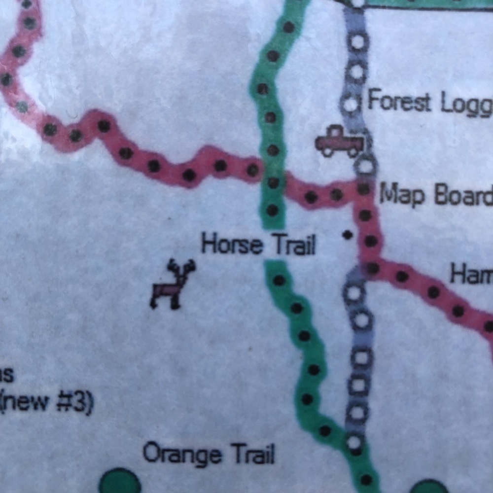
Neigh? Nay.
There are several places to park within the state forest at various trailheads. I chose the spot right where 11th Section Road goes from single lane pavement to single lane dirt. (This is at the Hampton/Chaplin border by the way, and the road changes names to Nutmeg Lane which I know is a normal thing, but here, as far removed from any sort of population center as you’ll find in Connecticut, it just struck me as odd.) I began my clockwise loop, first on a blue/white trail before heading north on the Orange.
There’s really nothing exciting going on here until I shared some time on the Natchaug Trail before peeling off northeast at a well-preserved foundation of a stone cellar. I know people are fascinated with these things, and of course there are often ridiculous claims of “hauntings” attached to them all over New England. These are not uncommon and if you spend any time in our woods, you’re bound to see a few. What was more interesting to me here was that someone had adorned a small evergreen next to the foundation with Christmas ornaments.
And a whole bunch of those ornaments, with innocent little swirly patterns on them, just looked like the work of the devil to me.
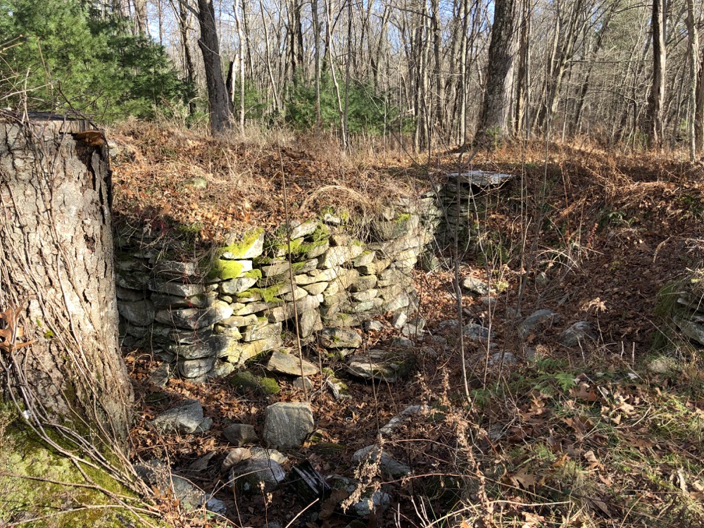
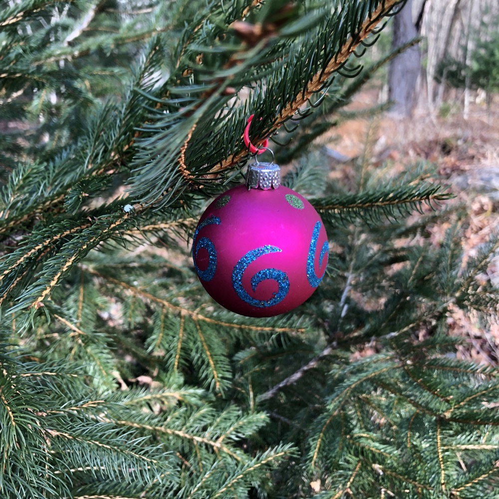
666, the Number of the Beast
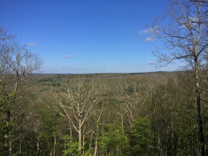
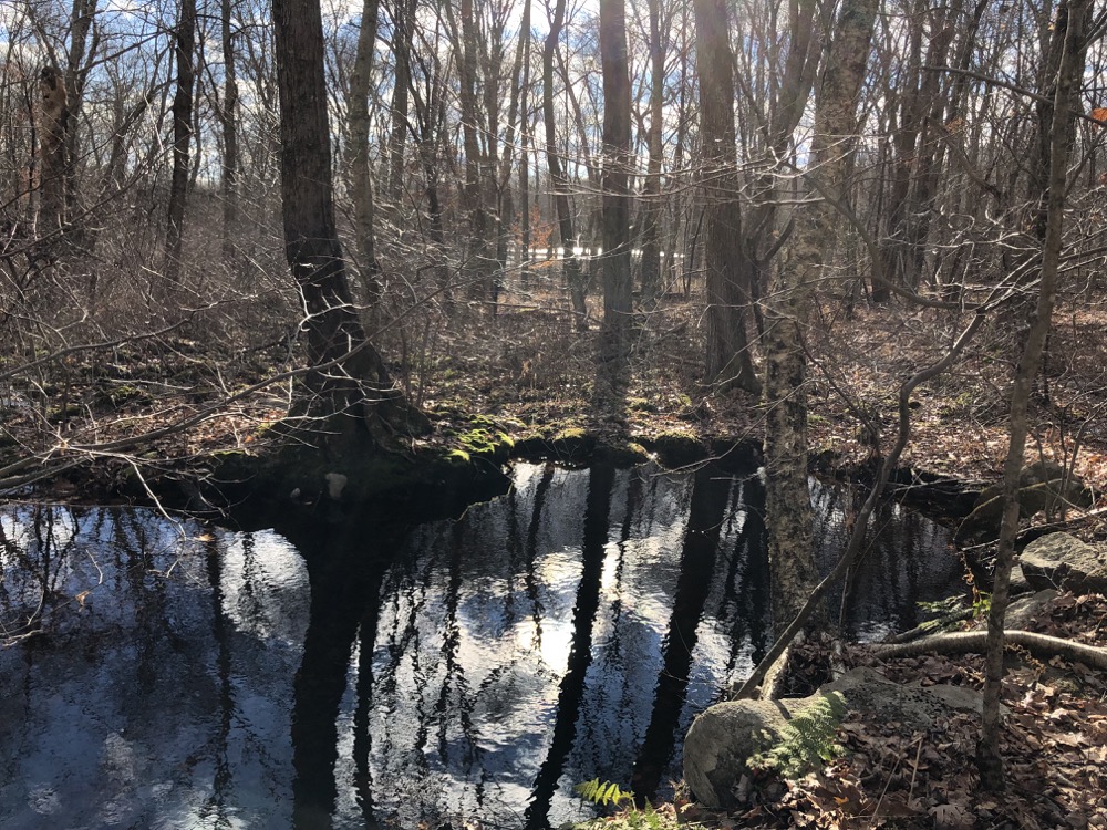
From this point, the Natchaug veers west a bit and summits Orchard Hill. The Orange Trail keeps it flat along an old woods road and heads north to the Natchaug State Forest. I kissed the Natchaug again via a short little Orange/Blue connector and entered a short stretch of older woods with stone walls and streams. Then everything changed. I entered the… Area of Logginggggg!
This is just me being dumb alone in the woods, but the maps all this area cross-hatched with “Area of Logging” and I just kept saying “AREA OF LOGGINGGGG” in my head. Like the “Sunday, SUNDAY, SUNDAY! radio ad guy back in the day. (Again, kids, ask your parents.)
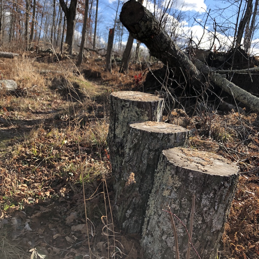
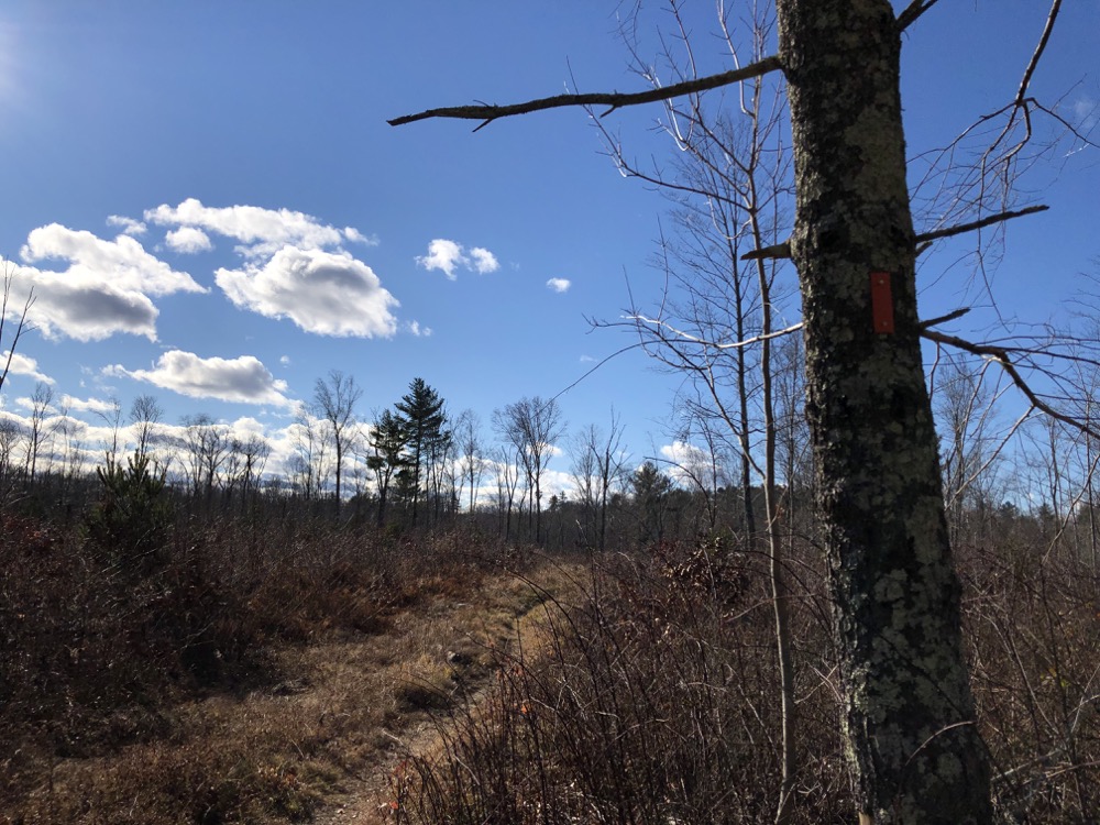
THE AREA OF LOGGING
Shortly into the AREA, I came to another connector trail; the Orange/White which goes to another parking area on Morey Road (which, yes, changes to Station Road at the Chaplin/Hampton line right at the parking area). That half-mile connector heads northeast up to the Natchaug Trail again. I walked most of it for some reason, but there’s nothing all that interesting along it.
Back to the main Orange Trail and the logged area. It’s quite impressive that for the next nearly mile or hiking, the path is well-defined and even blazed as much as possible. Oftentimes, when the DEEP logs a trailed area, the trail becomes quite difficult to follow. Trees are cut in Connecticut for any number of reasons, none of them usually good. Emerald Ash Borers, Gypsy Moths, and Chestnut blight, Wooly Adelgid… all have devastated our forests. Forests of dead trees are dangerous and ugly. So they get culled.
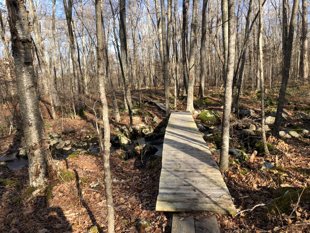
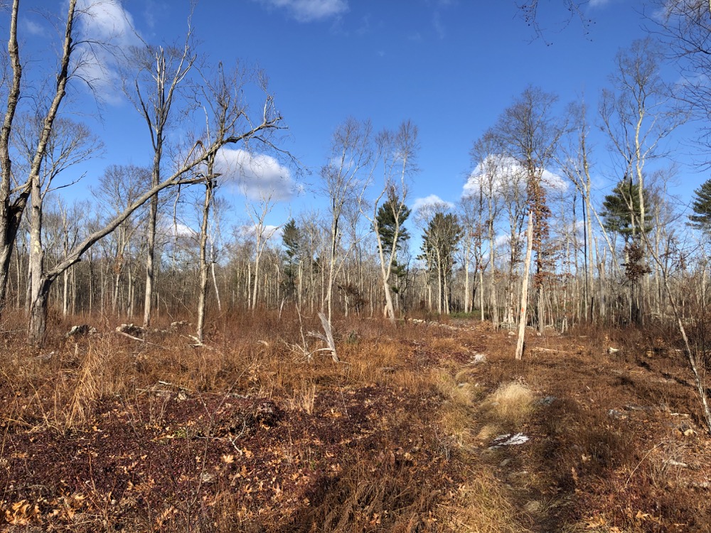
But there’s something cool about walking through a logged area. It just provides a very different experience and a sort of weird stark beauty that I find interesting. Listen, I walk through a lot of woods. Change can be good. Plus, you get to witness succession up close. Which plants thrive in the new open canopy? Which saplings take root first? What wildlife enjoys the open land? These are the types of conversations I have with my son when he’s with me. Now I’m having them with you because I’m all alone.
After the logged area, the trail heads south along a woods road for a while, but not before passing a weirdly green and mowed field in the middle of the woods. Obviously this is accessed from Station Road, but why is it here? Why is it so well-kept? Is it just a hayfield in a relatively inaccessible area? See, these are the questions I have, not whether a cellar hole is haunted. I find this far more fascinating.
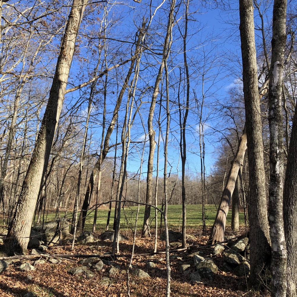
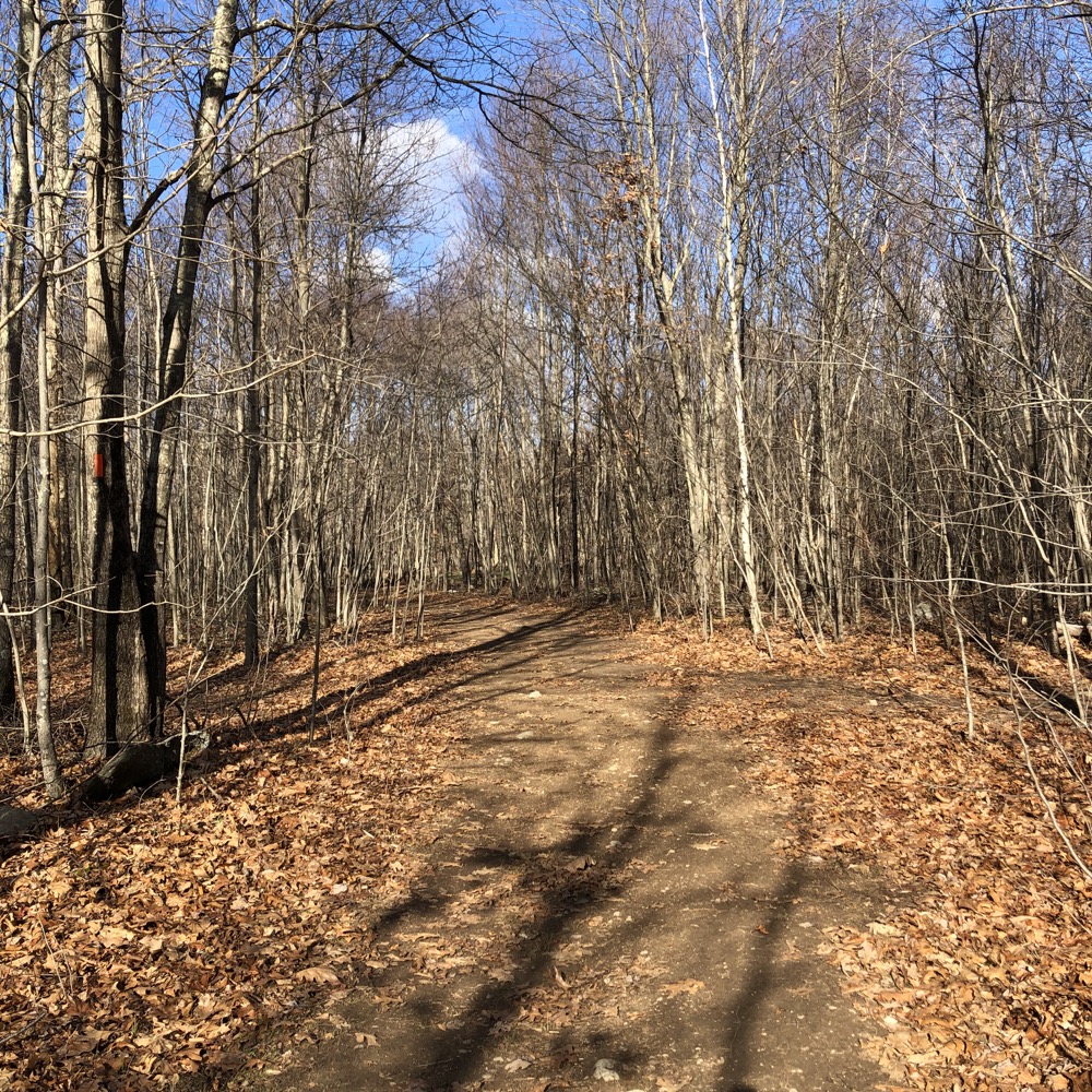
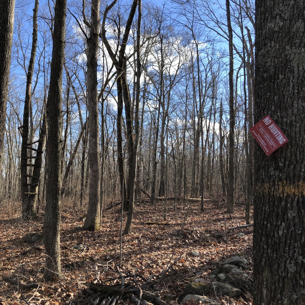
Which was the last fascinating thing along this trail. The remaining mile or so took me through the woods along several stone walls before curling back west towards my car. Oh, wait. There was this bit. Nothing like seeing a hunter’s stand (in the background, at left, in the first picture below) next to a No Hunting sign. I’ve never bothered looking at the rules of hunting; like, if you’re perched in a legal area, can you shoot game “across the border” so to speak? Probably not. Do hunters obey this? I guess?
I came to the end of the Orange loop at the “new” horse trail which took me north of Pine Acres Pond to my car. This is a pretty nice little hike; remote, varied, and fairly interesting. Of course the main draw is that you can combine it with longer hikes at Goodwin or along the Natchaug Trail.
![]()
Blue/White & Blue/Yellow Trails
You can combine the Blue/White trail with the Natchaug Trail to make a big loop around Pine Acres Pond. You could do a nice figure eight hike doing this and the Orange Trail above. In fact, that would be pretty cool. But since I’m just writing about the trails north and west of the big pond here, I’ll just mention that the little half-mile or so connector from 11th Section Road past Black Spruce Pond to the Natchaug is kind of pretty.
If you know where to look, there’s an almost hidden little spur trail to the pond which has a little bench named for someone named Fran. Or maybe it’s legitimately Fran’s bench, as in you’re not allowed to sit on it. Don’t worry Fran, I didn’t touch it. I had other things to do.
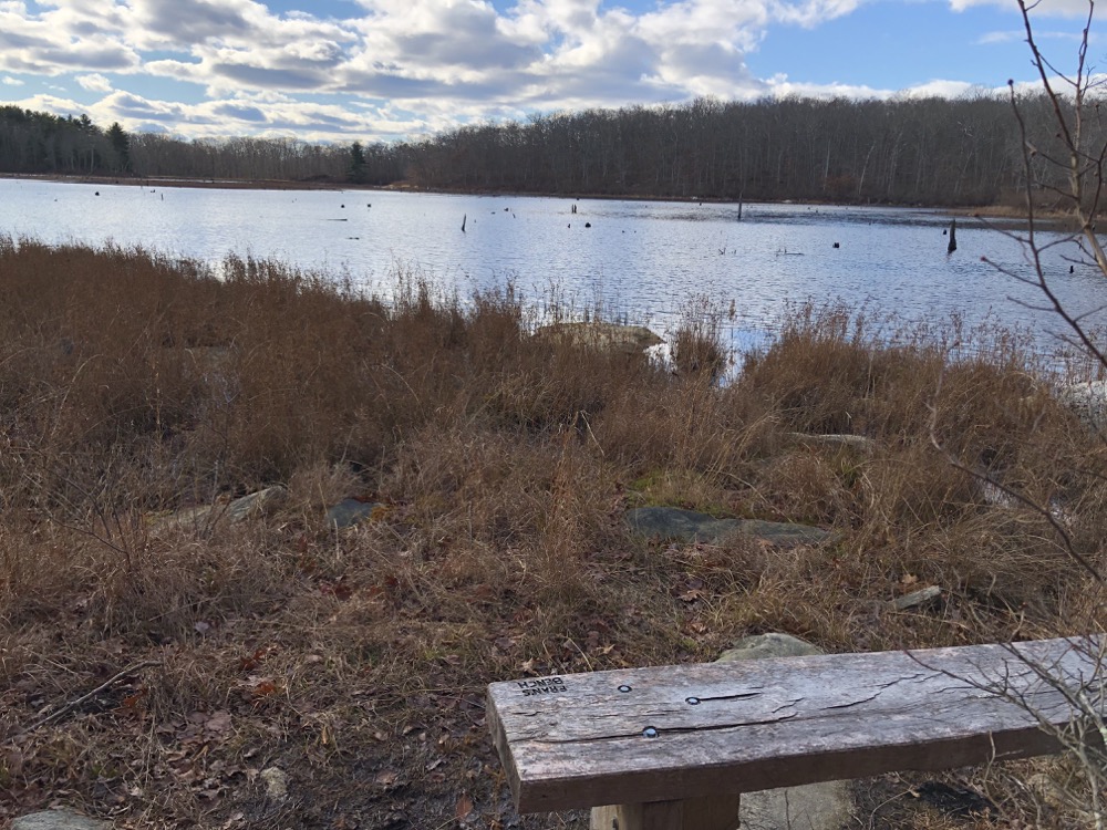
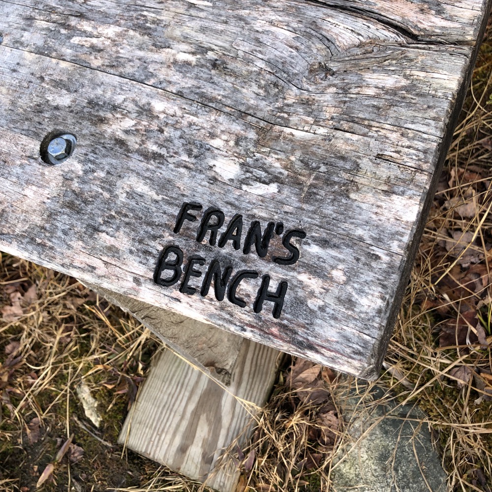
Anyway, yeah, this is a necessary little connector that I would assume a lot of people use.
The Blue/Yellow one nearer the forest’s main entrance used to be the Natchaug I think. It parallels the “more important” blue-blazed trail and is no different from it at all. Crossing 11th Section Road and heading straight for the Air Line Trail. And that’s that.
![]()
East and South of Pine Acres Pond
Blue/White Trail 2016
The boys and I hiked down from Estabrooks Road to Governor’s Island as part of the DEEP’s 2016 The Sky’s the Limit Challenge. It was a fun little outing which you can read about here.
![]()
Everything else
I haven’t yet hiked the rest of this side of the pond. Many of the trails were closed in 2021 for logging.
![]()
CFPA’s Map
James L. Goodwin State Forest Map
Natchaug State Forest Map
CTMQ’s Goodwin State Forest Intro
CTMQ’s Natchaug State Forest Intro
CTMQ’s State Parks, Reserves, Preserves, Forests, NAPs, WMAs, & Campsites

 Bryan Avery says
February 2, 2022 at 3:57 pmHello! I currently am doing an Americorps service term and I am primarily located at Goodwin. I fear that your impressions of why forestry activities happen at Goodwin are slightly inaccurate. While high tree mortality due to insects is an issue, the primary goal of harvests is to rejuvenate young forests that thrive on disturbance and provide essential habitat for a broader range of wildlife than what old sickly forests can provide.
After the great clear cutting of CT back in the 1800’s, the land was used primarily for sheep to provide wool for mills, and dairy cows to help support growing cities. As these industries waned, large swaths of agricultural land was left to its own processes. So our forests we see in CT today are all very very similar in age, and they are all fairly old. Disturbances that once happened due to forest fire, storms, and Native Americans were not longer present in this new post agricultural reality. In a way our forests are geriatric, which leaves them susceptible to disease, storm and insect mortality.
Forest harvest are absolutely essential for the regrowth of the most key species in the state for wildlife, the white oak. Without open canopy white oak saplings die off, unable to support the over 150 species of insects, birds, and mammals that depend on them for habitat and food.
Please check our website for information on other free programs being offered, many on the topics of forestry. bavery@ctwoodlands.org