Buttress Dolerite, Amirite?!
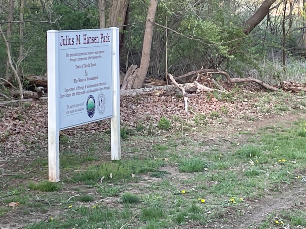
Julius M. Hansen Park, North Haven
April 2023
I think it’s safe to say that I’m in my busiest years of my life. I’m deep into my career and have a decent amount of responsibility. My sons are teenagers and the soccer player one has me traveling all over the northeast on an all-too-regular basis – not to mention the endless practice sessions. Most of those practices are at Choate-Rosemary Hall in the fall and spring, which means I have a some time to kill around the Wallingford area at least once a week when I drive the carpool.
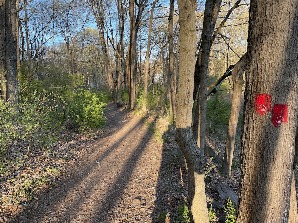
That’s my way of saying I haven’t been reading about trails before rushing off from the field to the woods somewhere. So when I arrive at the trailhead of a place like Hansen Park in North Haven, I have absolutely no idea what I’m in for.
And this place is really pretty darn cool. I can’t say “unexpectedly” because I had no expectations; having no pre-formed ideas about the place. Actually, that’s not really true. We’re talking suburban North Haven, not Cornwall or some such town. So yeah, I was surprised… and I loved it.
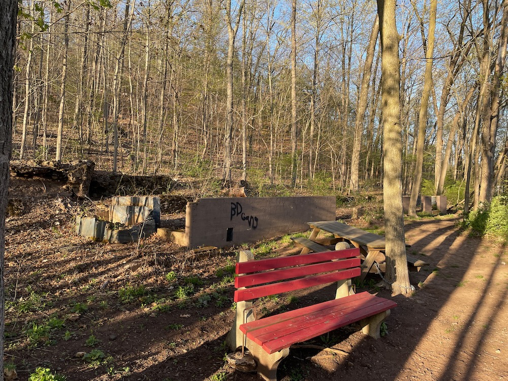
Old farm structures at the trailhead
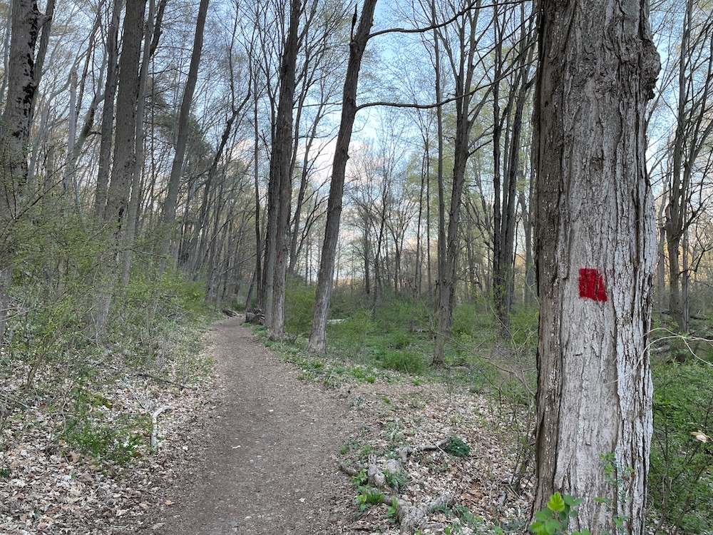
What was so surprising? For one thing, the parking lot is quite large. But once I set out walking the red-blazed easternmost trail, the park’s main feature came immediately into view. The park preserves a portion of an interesting geological feature: a narrow traprock ridge that runs north from Route 17 on the North Branford-North Haven town line into Tyler Mills Park in Wallingford. The Hansen Park section of the ridge rises abruptly from the valley of the Muddy River.
Of course we’re all familiar with the traprock ridges of Connecticut. But here the ridge is a true spine with nearly vertical walls on both sides. Just… boom! Out of nowhere here in suburban North Haven!
While I was on the flat red trail that took me over to the Muddy River, there are two other trails: the yellow trail which is also flat over on the western side of the park, and the blue trail which traverses the spine. North Haven’s Knife’s Edge. Awesome.
All three blazed trails meet at the northern and southern ends of the ridge. Before I arrived at that intersection, I walked near a field that is still farmed. Unmarked trails skirt the field and provide access from the nearby neighborhood.
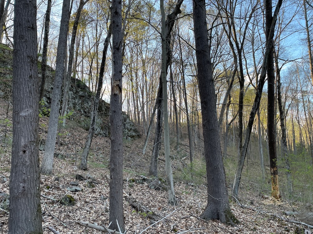
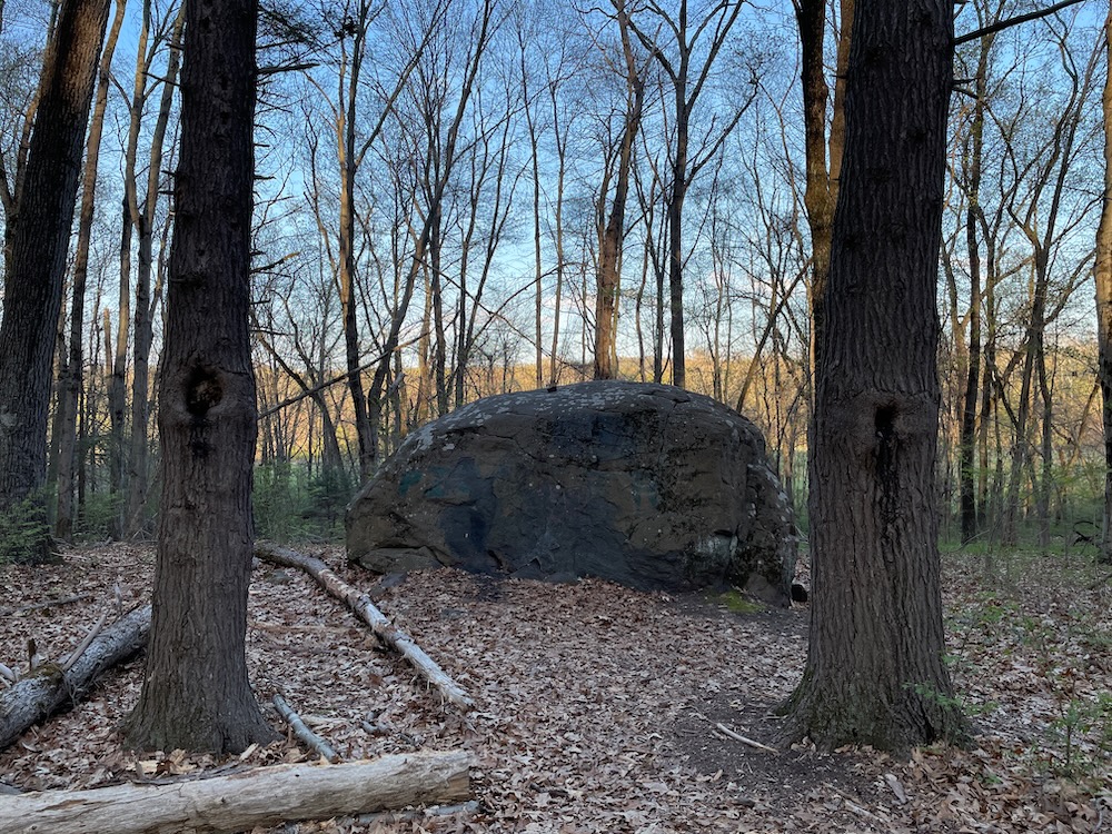
The trail became a bit rockier as I approached the northern tip of the park, and I’ll admit that looking at the traprock wall to my left the whole way made me wonder how the trail would take me up there.
Worry not. From the northern end it’s easy – from the parking lot I cannot promise the same.
I love this place, and apparently I’m not alone. Hansen Park has been eyed by North Haven for preservation since before I was born:
In 1969, the North Haven Conservation Commission had a dream; in 1982, that dream became a reality in the form of The Julius M. Hansen Park. Hard work, patience, generosity, perseverance and foresight…all had a part in making this dream come true.
The Commission’s Open Space Plan for the Town, summarized in the booklet, “The Preservation of it All,” described the Hansen land as “…this beautifully situated property with its varied terrain meets the requirements for the large community park North Haven needs.”
In the next five years much was done to obtain the land, but there was still more to do. Thus, Norman Greist, Conservation Commission Chairman at the time, ended a report to the Park & Recreation Commission (who would soon be given charge of the land) with a provocative question and suggestive challenge: “Do we have the vision to protect this small parcel of land for posterity? The choice is ours.”
So dramatic. Which I guess makes sense since the cliffs here are also dramatic.
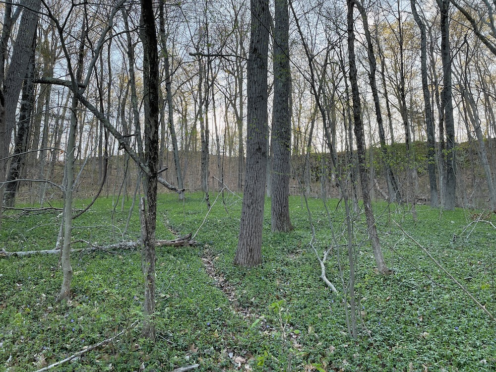
The farmed area has passed through several families since white people lived here and is now used only to grow feed for cattle. The final owners were the Hansens who ended up donating and selling the land to the town and water company.
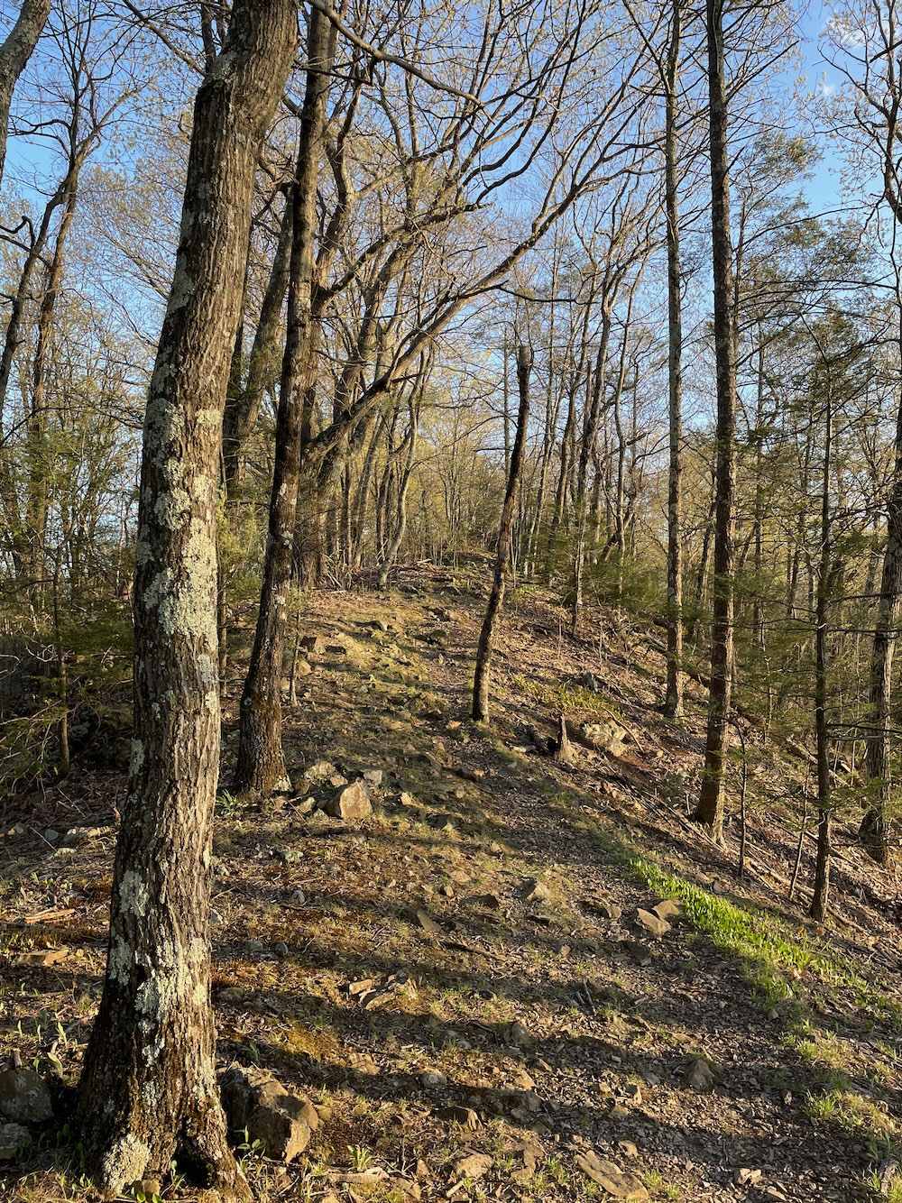
The blue trail along the ridge is great fun. It’s a true ridgeline and while it’s not dangerous, I’d guess that little kids think it’s a true mountain experience. Its high point is an elevation of only 190 feet and it is about 50 to 100 feet wide, although the walkable portion of the ridge is maybe 10 to 20 feet wide with sharp drops to the east and west.
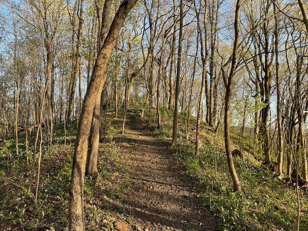
To the south of Hansen Park, the traprock ridge line resumes just beyond the Muddy River valley. The whole ridge is basically shaped like a bow facing westward and is composed of buttress dolerite, a different type of rock than the various types of basalt that form the principal traprock ridges in Connecticut and Massachusetts.
Huh. Obviously I didn’t write that because I’ve never heard of buttress dolerite.
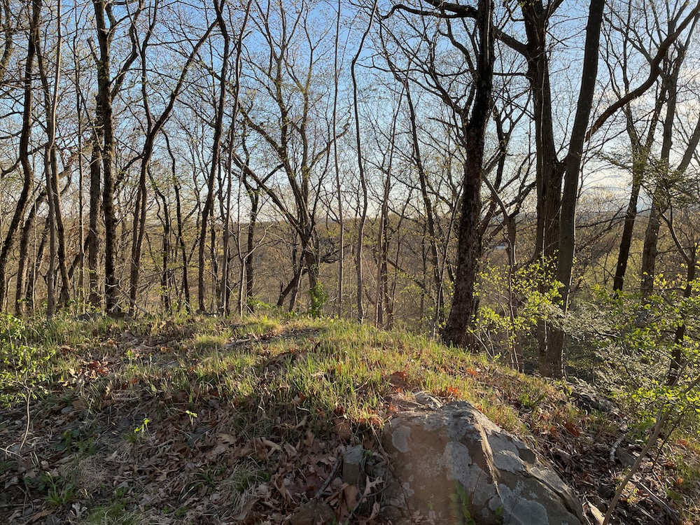
That same source – the SCRCOG – says that it is possible to see, to the west, Sleeping Giant, New Haven harbor and West Rock Ridge, and to the east, Totoket Mountain.
I had no views to the east due to tree cover, but sure, I’ll believe them.
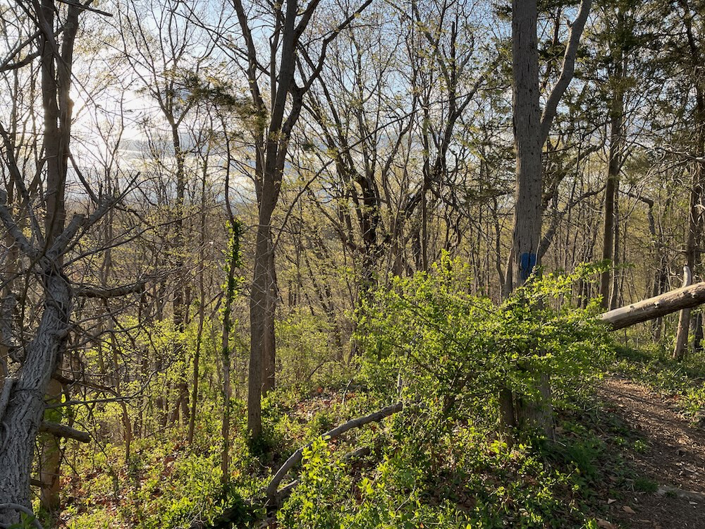
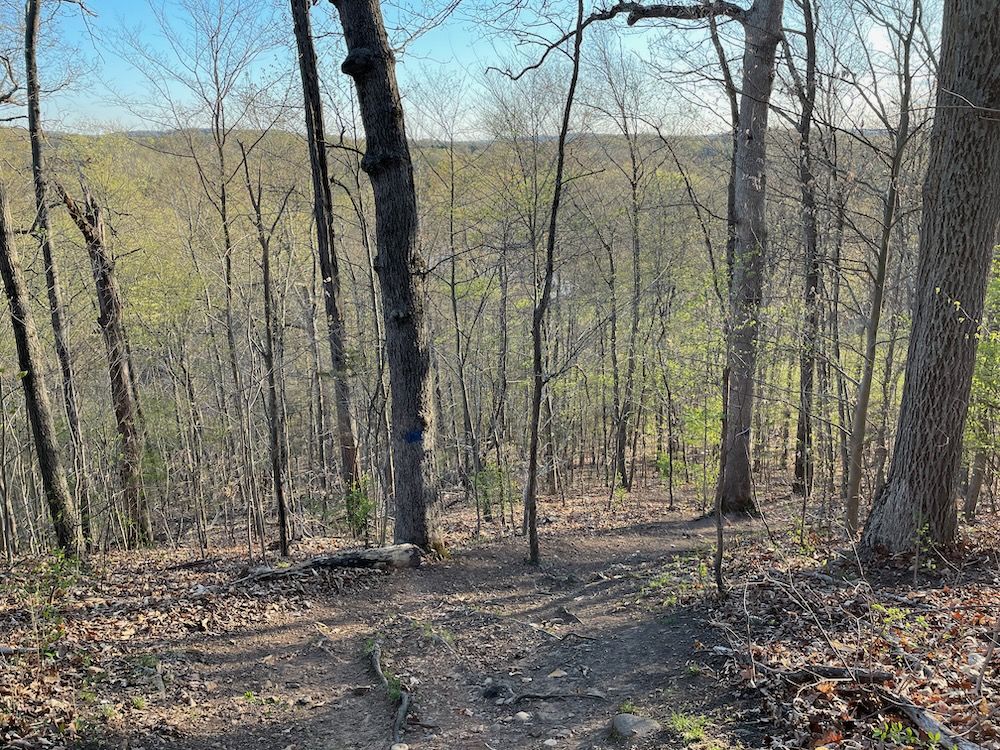
As I walked the ridge, I kept looking down at the yellow trail. It was very wet and muddy and swampy throughout its northern half and I was glad I chose red over yellow. If you’re doing one loop here like I did, I strongly suggest red to blue. I guessed correctly – and you can see almost the entire yellow trail while walking the blue. Good enough.
The southern end of the blue trail is pretty gnarly. The only way down towards the parking lot is straight down. Not the best trail design, but I’m not sure what more they can do. And I guess it’s been this way for decades, so who am I to judge.
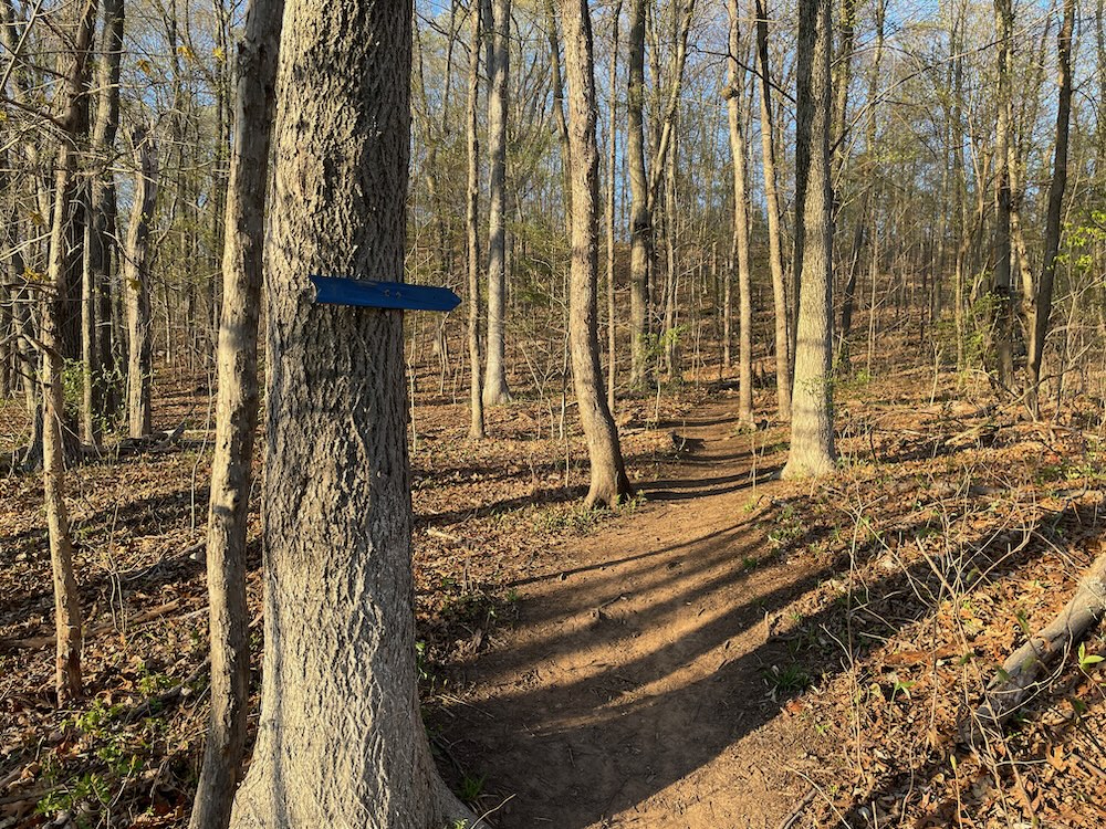
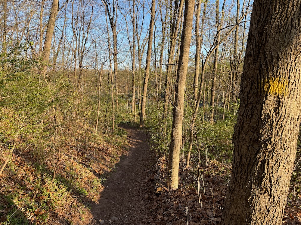
I picked my way down the steep section, joined the yellow trail, curled around and went to my car. For some reason, men in pickup trucks on different ends of the lot were just sitting in their vehicles. There were different men in pickup trucks doing the same when I arrived. I guess Hansen Park is a cool place for men in pickup trucks to sit and ponder life.
I prefer to do that atop the ridge here, but that’s just me.
![]()
Hansen Park Trail map (and source for some of the above)
North Haven Trail Association
CTMQ’s North Haven’s Town Trails

Leave a Reply