Ideas are Blooming
LaSalette Trail, Bloomfield & Simsbury
At the time of this writing, I have no idea when the gaps in the LaSalette Trail will be closed – or even if they officially will be someday. Nor do I care, really. Such is my excitement for this trail that I’m forging ahead with hiking it and writing about it.
Which means I may not have every foot of its eventual route correct but I’m 99% confident on 99% of it. In other words, whatever I get wrong isn’t so wrong as to be detrimental, no matter when you’re reading this.
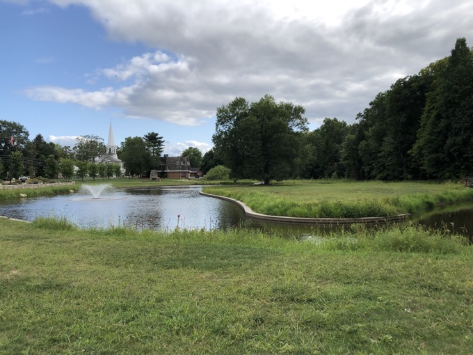
Filley Park, the eastern terminus
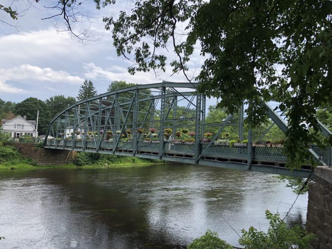
The LaSalette Trail will be mostly in Bloomfield, but will officially traverse the Metacomet Ridge and take hikers down into Simsbury. This trail begins at the Filley Pond Park in Bloomfield Center and meanders through LaSalette Park, Hawk Hill Farm, and Stout Family Fields all the way to the Metacomet in Penwood State Park. Once a hiker reaches the ridge line of the park, the trail will continue north until it connects to the Simsbury Land Trust’s Tanager Hill Trail and down the west side of the ridge and over to the Old Drake Hill Flower Bridge in Simsbury Center.
Awesome. On this page, I will connect all the properties together, just as the LaSalette Trail does. Or at least attempt to do so. Each property has its own CTMQ page as almost all of them have other trails besides the LaSalette. They are, from east to west:
Filley Park
LaSalette Open Space
Hawk Hill Farm
Stout Family Fields
Penwood State Park
Tanager Hill Preserve
![]()
Filley Park to LaSalette Park
Bloomfield
Who would ever think that one could enjoy lunch at The Thai Palace (an ownership change came precipitous drop in quality in 2023) in the Wintonbury Mall and then head out on a trail, ultimately ending up at Katahdin in Maine? If and when everything falls into place, you will be able to do exactly that.
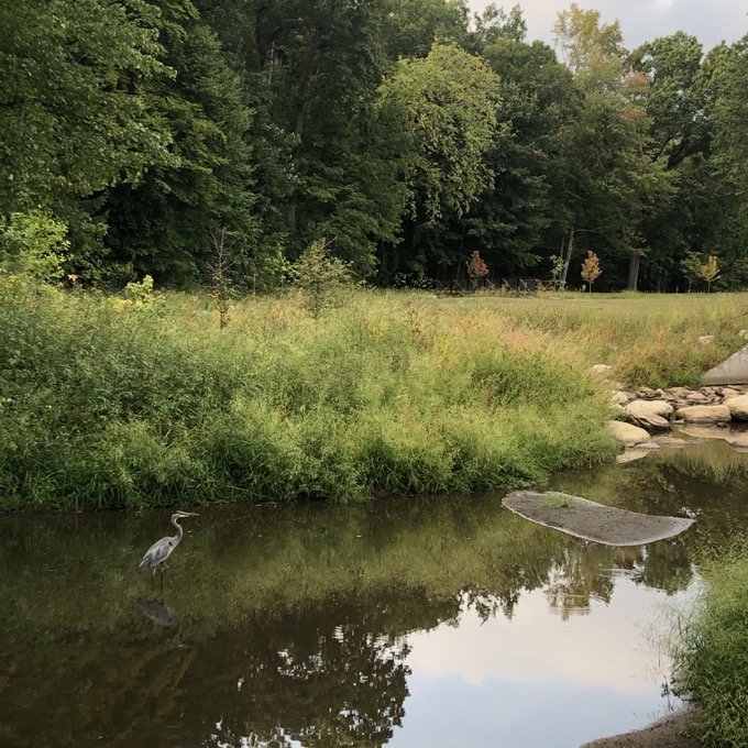
Filley’s resident heron
People probably incorrectly think there aren’t good areas to hike within the town of Bloomfield. They often don’t realize that a good chunk of the Metacomet Ridge is within the town’s western border. A ridge and a trail you can hike to via the LaSalette Trail, starting at Filley Park.
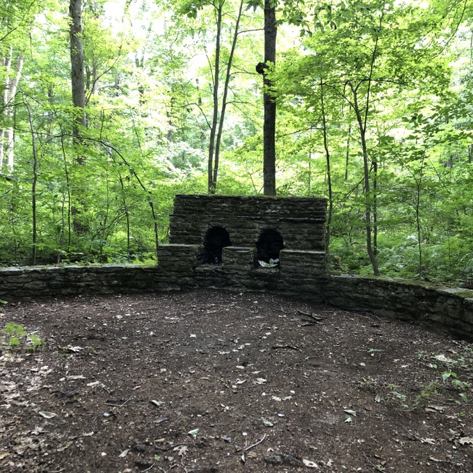
I brought the boys here in 2015 to poke around. I had learned that there was a project proposed in 2008 that was progressing along nicely. In addition to some general park improvements, the town is hoping to improve the trail system, with a connection to the “Brewer Drive Area.”
The first time we walked around Filley Park, there wasn’t much to it. A silt-filled pond, a bridge, and a short little trail through the woods. But the large improvement project is happening happened!
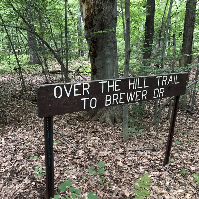
The LaSalette Trail will begin at the parking lot, go across the bridge and then into the woods. There has been a sign for the “Over the Hill Trail” to Brewer Drive for years, but the trail it notes hasn’t existed for quite a while. I assume that trail will be cleared again – but I’m not sure when… or even why.
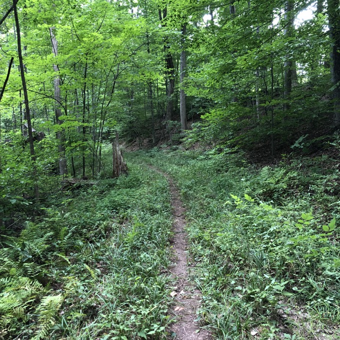
For you can already go along the general route. Heading west on a herd path off of the main loop took me up a hill to a grassy open expanse at the top of Mountain View Cemetery. Granted, not too many public hiking trails take walkers through cemeteries, but why not? The view at the top of the cemetery hill west towards the Metacomet ridge is fantastic and there is no need to walk over gravesites at all.
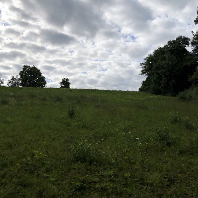
I followed the road down the hill to Brewer Drive where a gate allows walkers through and prepared for a road walk. There’s no avoiding it here; with a right turn on Brewer and a left on Downing out to Brown Street – a road I’ve driven nearly every day since 2009 on my way home from work.
Across Brown Street with a quick left and right up Sharon Road. This is the only part of the LaSalette Trail I’m sketchy on. The original plan was for a trail to veer off of Sharon at the sharp curve left (heading up), but new construction up at the the top of the road (Anthony’s Way) has made that a bit difficult. Either this trail will be cleared to head north around the new construction or there will be a right-of-way easement at the top of Sharon Road.
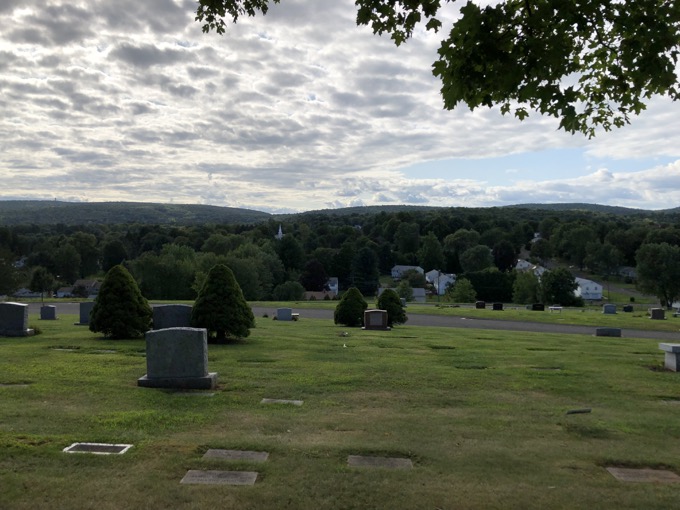
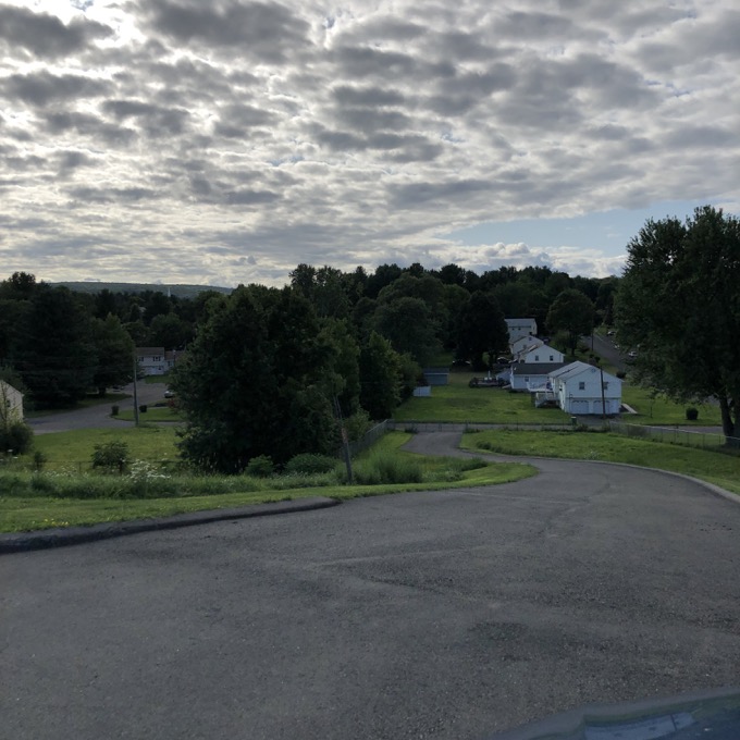
Either way, the trail will enter the LaSalette Open Space west of Sharon Road/Anthony’s Way. I’m pulling for the long way around, because a trail already exists on the other side of the new construction, and there are some cool trees and stuff to walk though there.
Okay, so this first bit of the to-be-designated trail isn’t all that exciting. A little town park, a cemetery, and nearly a mile of road walk. But you know what? I still love it.
![]()
LaSalette Open Space to Stout Family Fields
Bloomfield
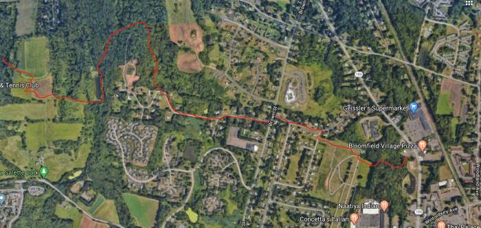
Depending on which route the LaSalette Trail takes – short easement into the woods at the top of Sharon Road or the long loop north around Anthony’s Way – this section’s distance will vary by about a mile. As I just wrote, I’m going with the longer option, as it’s more interesting and, well, why not? (This is what’s depicted in my maps on this page.)
Into the woods off of Sharon Road, climbing north around the new construction, squeezing in between these large new houses in Bloomfield, then west and into the LaSalette property. I’ve seen people walking the open farmland hills of the park off of Mountain Avenue, but I suspect very few are familiar with this eastern part of the property.
A white-blazed loop trail extends to these far reaches. Well, the maps show a loop trail, but in my exploration of these woods, the eastern arm of the loop has been disappeared in favor of the new construction. And believe me, Calvin and I searched long and hard for the continuation of that loop in thickets and foreboding pine stands.
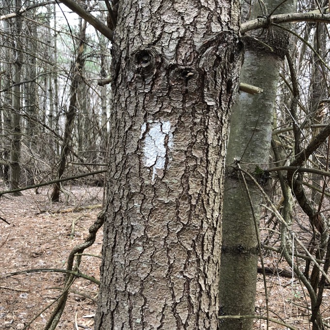
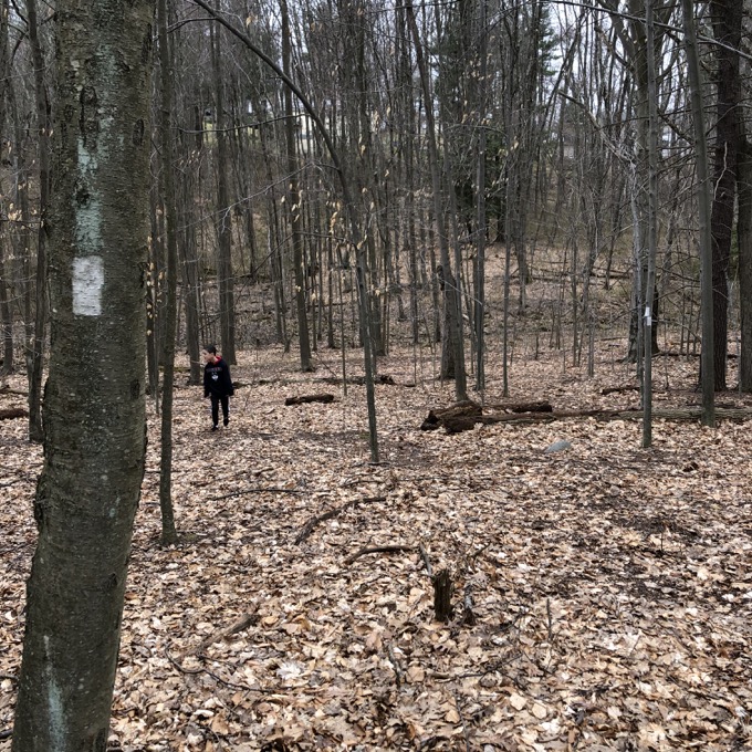
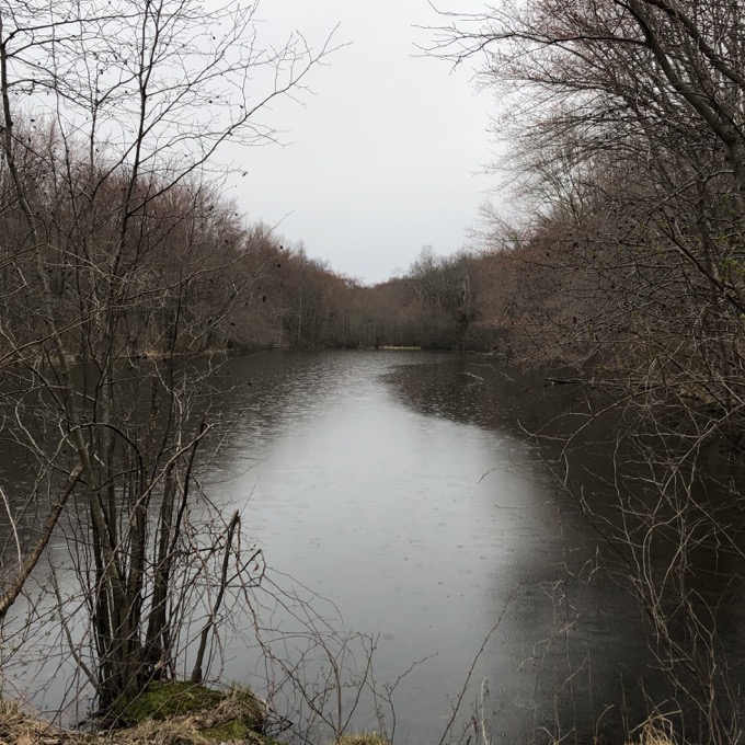
I therefore posit that the trail will head down the hill towards the little pond. These woods contain a huge number of wolf trees for some reason. At least a dozen; just massive, massive oaks.
The walk along the pond is uneventful. With a lot of low-lying swampy areas, this will be a pretty nasty mosquito-filled area in the summer. Calvin and I had no such issues in March, however, and we picked our way through the muddy sections to the best of our abilities.
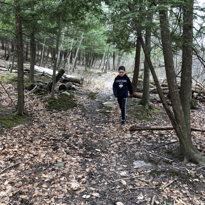
Having walked the length of the pond, the trail turns sharply right and begins the first real climb up Hawk Hill. This is a deceptively steep climb, but hey, you’re hiking, so get used to it. There is a swath cut in the bramble that may be a smarter option for hikers in the future – rather than straight up.
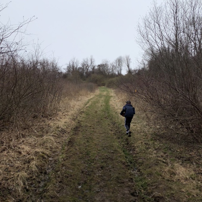
But Calvin and I took no such contoured route and made it to the top and the farmed fields of LaSalette Open Space. The property once served as part of the La Salette Seminary. To the left, down through the field to Mountain Avenue, there are some historic buildings that may serve as a museum someday, but that’s not where we’re going on this journey.
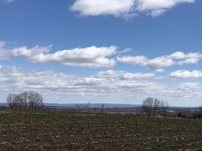
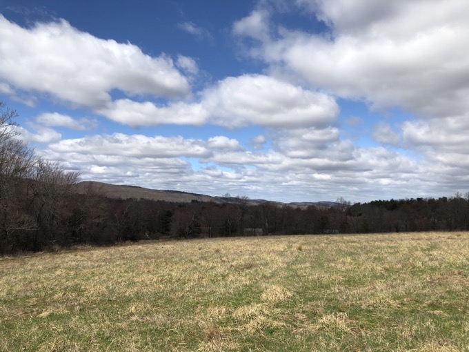
The top of Hawk Hill is perhaps the coolest spot along the LaSalette Trail. It provides a unique view southeast to Hartford and west to the Metacomet ridge. There is a loop trail around the field at the summit, and I’m not sure which direction the official trail will go. To the left, the Traprock Ridge Land Conservancy’s Hawk Hill trail heads down the hill into the woods. If one continues north, through another field, there’s are excellent views west and north – and you know everyone loves views. However, it would be perpetually muddy, so I’m going with the route through the woods.
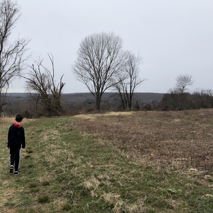
The trail down the hill here needs some work, as it was probably built by the Hawk Hill Farm folks and not experienced trail builders. No contouring, no side-hilling, and no real planning. BUT – lots of clearing work went into it, so I don’t want to disparage those who worked on it. It does the job just fine.
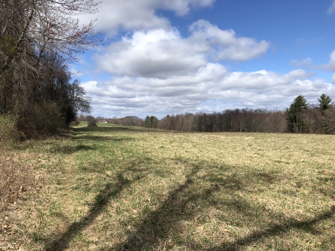
The loop around the fields closes at the bottom of Hawk Hill and the trail heads west between some farmed fields. If I have my wish, there will be an official trail cut north from here alongside another field to another private farm concern. If this happens, there won’t be any need for a long walk along Duncaster Road.
In fact, when the local land trust has led hikes of this trail’s route in the past, they received permission to walk this route. A friend tells me the land owners are friendly to hikers, so I’m going to say that yes, from Hawk Hill, the LaSalette Trail will continue north along another field and then down near the farm on Duncaster Road across from Stone Hill Road.
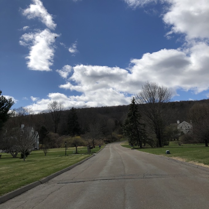
Stone Hill Road
From there, walk Stone Hill Road west to the end, which brings you to the Stout Family Fields. (In lieu of the private farm option, continue on the Hawk Hill trail to Duncaster Road and then hoof it north along the road to Stone Hill.)
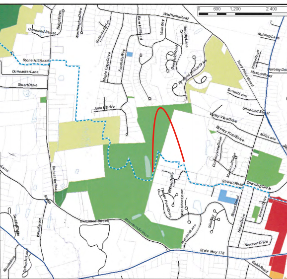
The WLT’s LaSalette map shows the trail heading north along the field and through the farm directly across from Stone Hill Road. The red loop is my guess at/hoped for new trail around the new construction.
Stout Family Fields to Old Drake Flower Bridge
Bloomfield & Simsbury
At the end of the cul-du-sac on Stone Road, you’ll find the entrance to the Traprock Ridge Land Conservancy’s Stout Family Fields property. It is simply startling that this parcel is owned by the land trust and doesn’t have McMansions all over it. Huge credit to the Stout Family (I’ll assume) for donated this prime real estate.
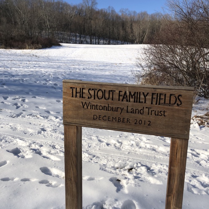
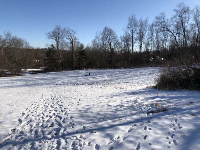
This trailed hillside allows hikers a pathway up to Penwood State Park. At the top of the field and through the gate, an old woods road will take you north or south and anywhere beyond. The LaSalette Trail, however, only follows the road north for a couple minutes before heading west up to the ridgeline via Penwood’s Purple Trail.
And here it is! The final push up to the top of the hill that you saw back at Hawk Hill! The famous Talcott/Metacomet Ridge! The trail splits about halfway up and of course I don’t really know what the future official LaSalette will do. I would suggest taking the left (southern) branch, straight across the Metacomet Trail, onto the red connector over to the Yellow Trail.
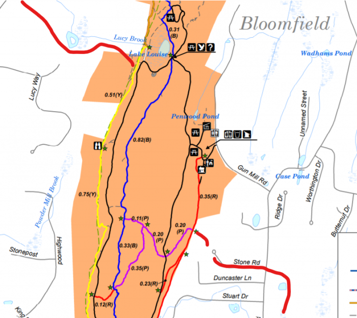
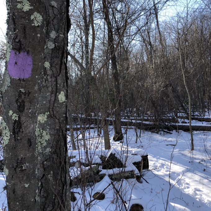
However, I’ve read that the plan is to take the right (northern) branch of the Purple Trail, follow the Metacomet north for a bit, and then… either with a new connector trail or a long dogleg up to Lake Louise and back south on the Yellow Trail… to reach the trail that will take you off the ridge to the west.
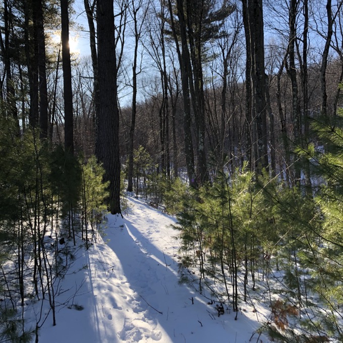
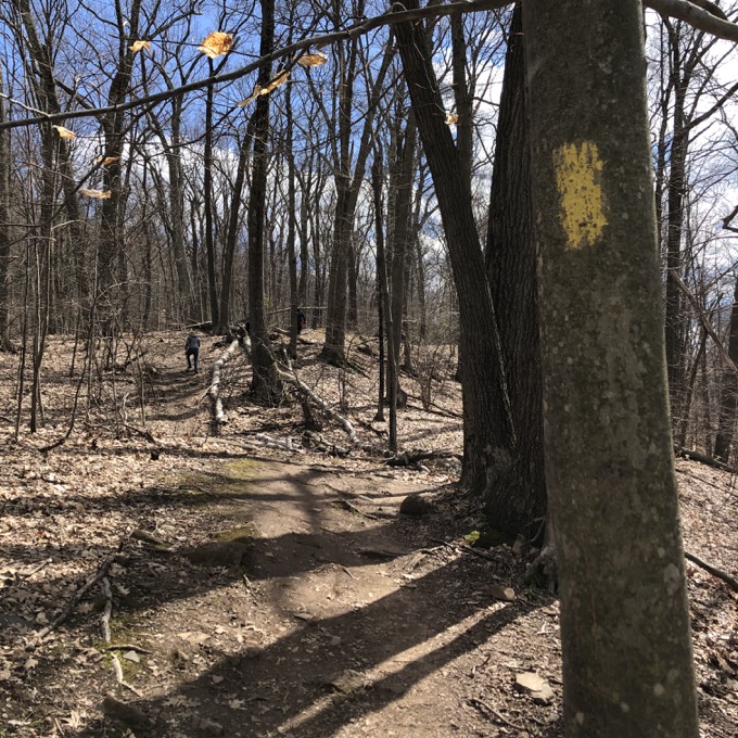
The Purple Trail, including both branches, is pretty nice; curling through some stands of pine and making a couple earnest pushes up. The Metacomet and the paralleling Yellow Trail both offer some views of the Farmington River Valley and west.
The key is to find the blue trail that drops off the ridge west from the Yellow Trail (I added it in red in the map above). It is here, at this mundane tree with the horizontal blue blazes:
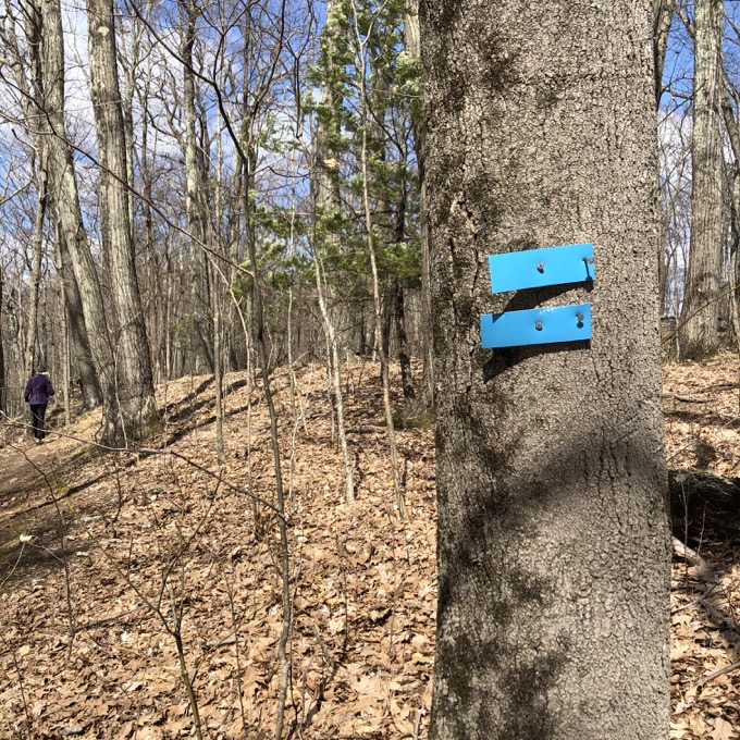
(As you can see, those are temporary blazes which means… oh I don’t know. It’ll all work itself out.)
That tree signifies what will be (should be?) the eastern terminus of the East-West Trail when it is completed someday. Which means that the next half-mile of blazed and cleared trail, heading west into Simsbury off the Metacomet Ridge, is currently two trails – the LaSalette and the East-West – that don’t officially exist as I write this in July 2020.
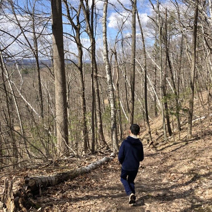
Effort was put into this bit, as there are some stone steps and water control. Once at the bottom at a powerline right of way, head north following the blue blazes. They continue north before heading west into the Simsbury Land Trust’s Owen-Mortimer property and out to East Weatogue Street.
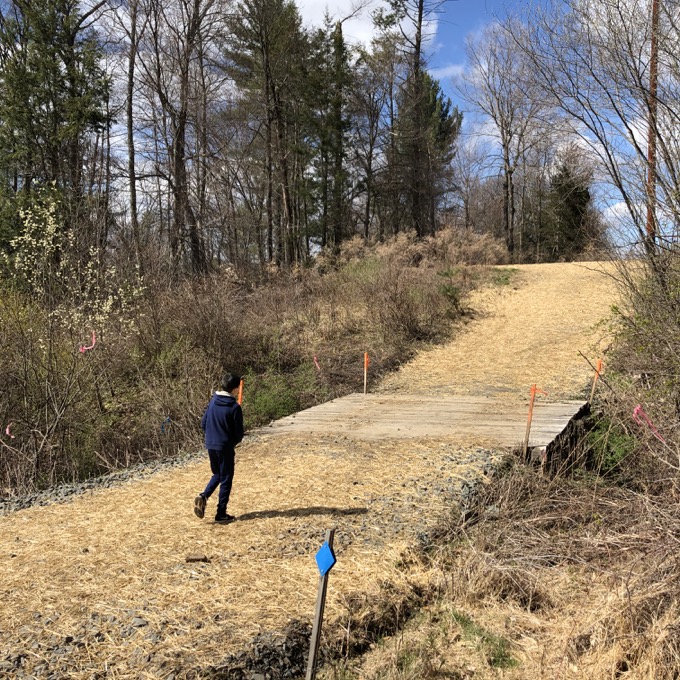
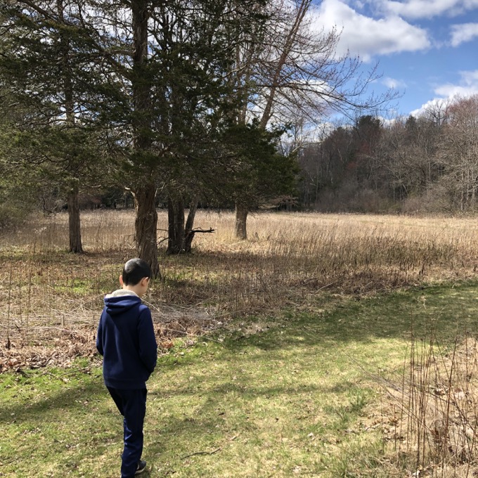
As I understand it, the LaSalette will take the route through the SLT’s Tanager Hill Property right next to the Owen-Mortimer. Yeah, it’s confusing. Especially since once through either, another connecting trail can bring hikers to the same spot on E. Weatogue Street.
Before that though, the walk through Tanager Hill offers a completely different experience from anything prior on the trail. Open meadows and a network of birdwatching copses and peek-a-boo sites. A farm pond and the outer reaches of a farm before the trail sidles up along Lucy Brook.
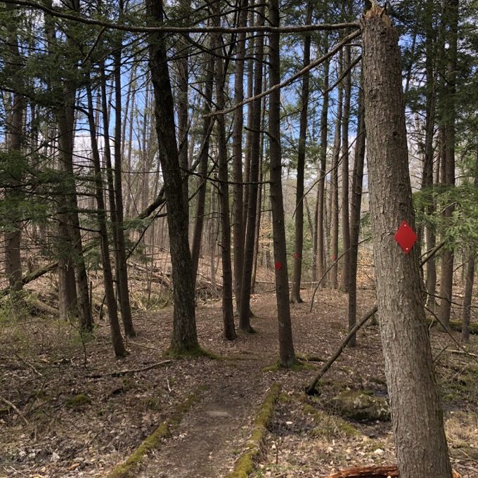
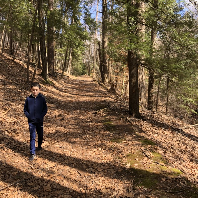
This innocuous little creek among the pines suddenly enters a surprisingly deep ravine before the ground levels out at the bottom of the hill and the road. Once onto the E. Weatogue Street, there’s a roadwalk to Riverside Road to the famous Old Drake Hill Road Flower Bridge.
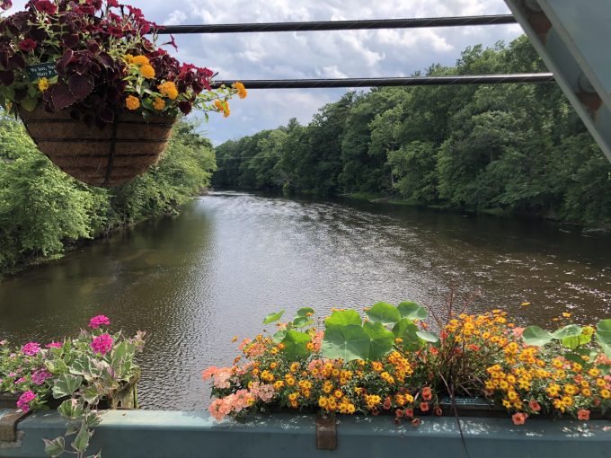
It’s there that the LaSalette ends. (The East-West Trail will continue from here west through Simsbury.) And that’s it. I know that the Traprock Ridge Land Conservancy has led hikes west to east of this trail. I know that there may be slight changes to the route.
And I also know that it’s a cool concept and a fun idea to go from downtown Simsbury to downtown Bloomfield. Now all you have to do is hike it.
![]()
Traprock Ridge Land Conservancy
Simbsbury Land Trust
CTMQ hikes Traprock Ridge Land Conservancy’s trails
CTMQ hikes Simsbury Land Trust’s trails

 Peter says
July 8, 2020 at 5:42 pmIt reminds me of the Setauket-Port Jefferson trail not far from me on Long Island. That trail is about 5.5 miles long and paved, and is basically some smaller trails stitched together. There are some woods sections, a few short road segments, parts that weave through peoples’ backyards, a fenced-off Superfund site along the way, and somewhat amusingly it ends in a rather sketchy parking lot behind a 7-11.
 Steve says
July 8, 2020 at 8:23 pmThat’s fantastic. Right up there with CT’s 23 part Hockanum River Trail. An ugly, beautiful, persistent gem.
 Kerri Provost says
July 10, 2020 at 8:40 amI’m excited for another trail in the area where I will be able to recreate alone because people are basic and won’t bother with anything that’s not Penwood or Heublein or the Reservoir.