Section 14: A Jog by the Jog
Route 20 to Rising Corner Road (MA), 7.8 Miles
September 2, 2020
This is it. This is the end.
What began on April 29, 2007 on the Berlin Turnpike across from a (now closed) stripclub, ended on a beautiful late summer day near the Massachusetts state line. Thirteen and a half years.
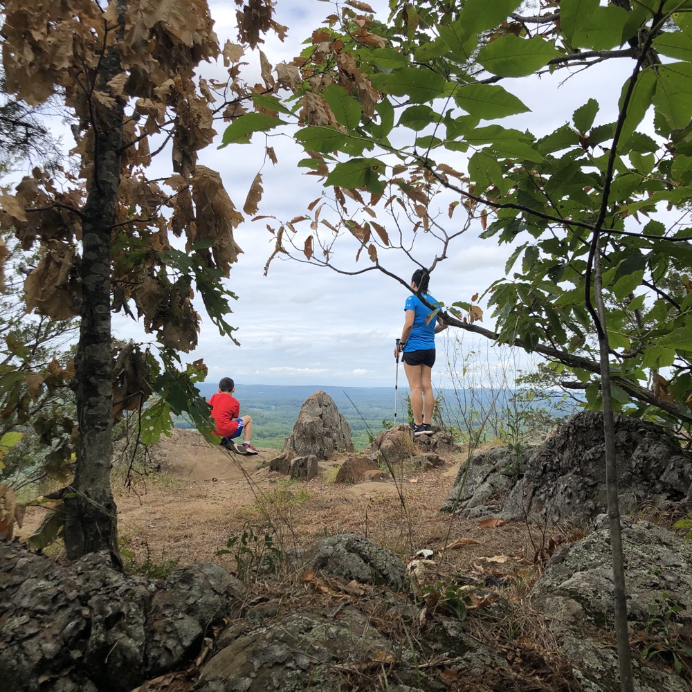
But we did it!
Way back in the early days of this website, back when it was only about museums and was called Connecticut MuseumQuest, I tentatively dipped my toes into the Connecticut Forest & Parks Association trails. What would I write about them? Could I? Should I?
In order to make it more personally interesting, I recruited my wife to hike the full length of the Metacomet Trail with me. It’s only 63 miles or so and we had a one-year-old baby, but it wouldn’t be a big deal. She agreed and we began the journey northward.
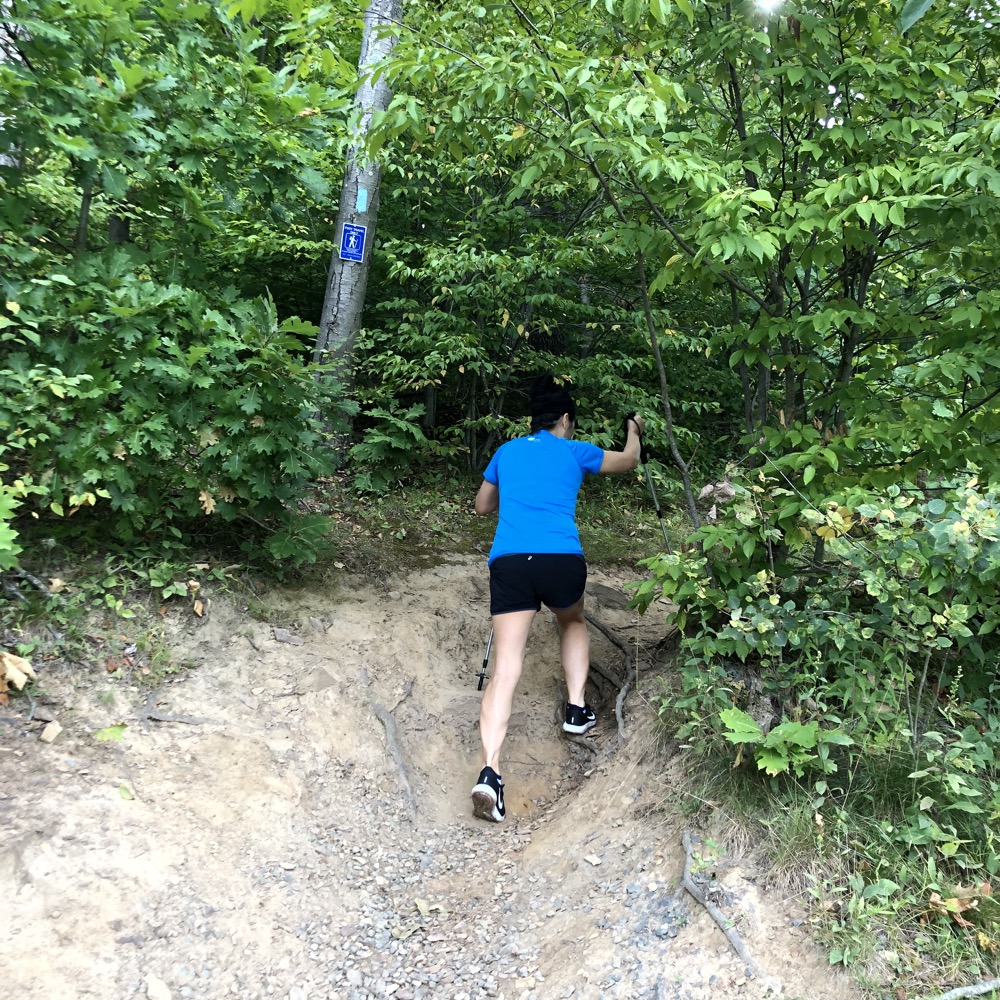
Then life happened. Our first born was diagnosed with a rare genetic syndrome that derailed a lot of plans – not just silly hiking ones. Jobs got crazy, life got crazy, we had another son, and… here we were. Thirteen and a half years later. That second son was now nine. Phew.
Another reason for the delay was that this last section had 2.5 miles of road walking that I knew were going to moved into the woods at some point. (Actually, the trail had been on the road for forty years prior to an easement that allowed the trail to continue on the ridgeline in 2016.) That point came and plans to finish were made and delayed several times. But then Hoang and I took a day off from work – Calvin’s school hadn’t started yet and Damian’s already had. The weather was perfect. We were doing this.
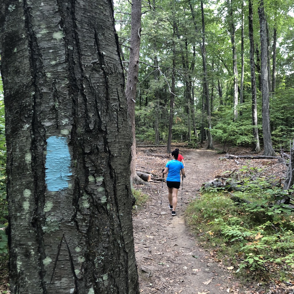
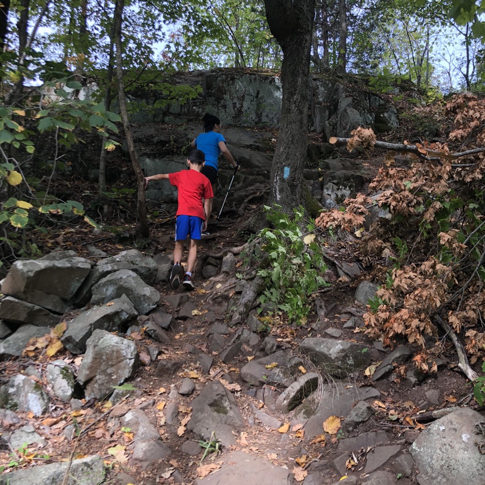
We spotted a car and began the hike in earnest. Man, I’d passed this trailhead a hundred times over the years; staring at it wistfully. Looking at the steep ascent along the fence paralleling route 20. When would I finally hike that? Now, I was actually doing it.
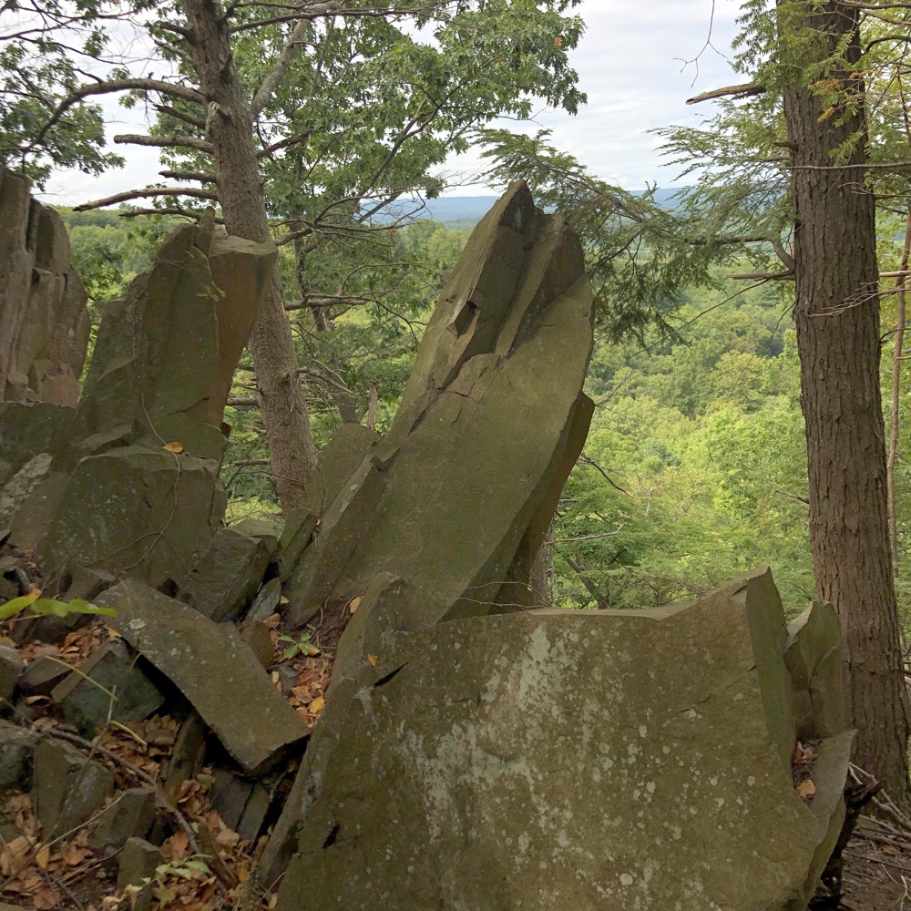
The first section north of route 20 ascends Peak Mountain – which is an absurd name for a mountain. We passed some classic Metacomet cubical basalt features on the way up, which seemed to only still interest me after 13+ years.
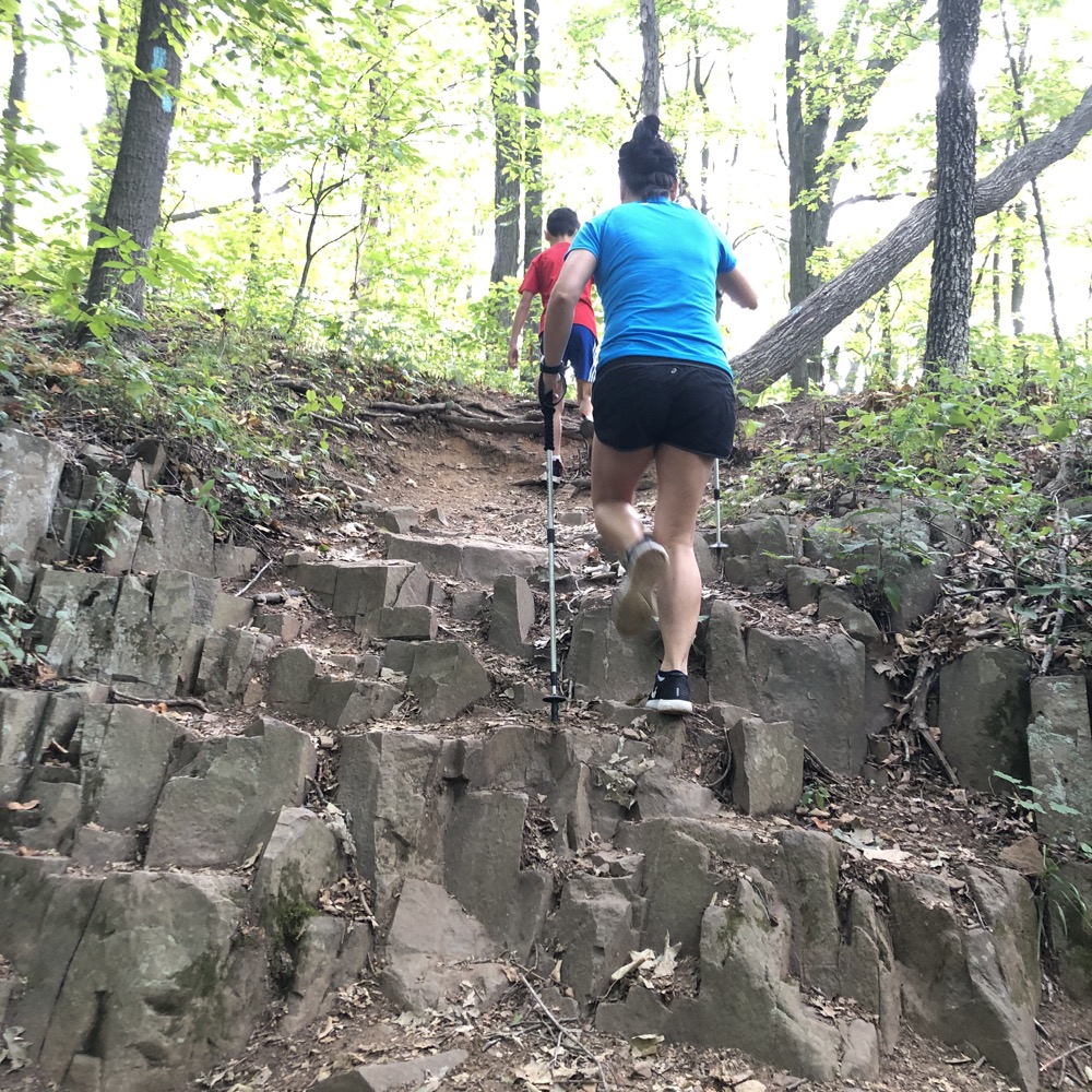
Still cool, I don’t care what you say.
Once we reached the ridgeline, The Brian Spears Trail appeared, coming up from East Granby Farms. As I wrote on that page, that’s a good way to get up to some of the spectacular views in relatively short and relatively easy order.
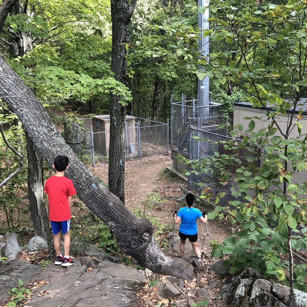
Now we’d reach those same views via the Metacomet Trail – which, honestly, isn’t much more of an effort from route 20 than the East Granby Farms trail. There is a mess of powerlines and Bradley Airport warning towers here, but with the flight path directly over this ridge, it’s also quite necessary.
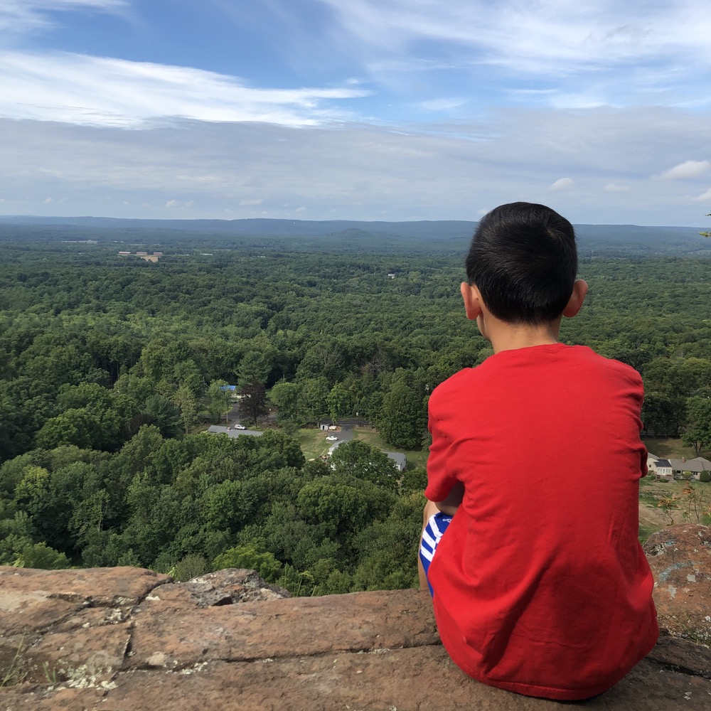
Peak Mountain is also known as Copper Mountain, which is a much better name than Peak Mountain. Copper, as you probably know, was mined in this area in pre-Revolutionary times down the hill over at Old Newgate Prison and Copper Mine. In the winter, I’m sure that museum complex is visible from up here – and it makes for a great post-hike visit when it’s open.
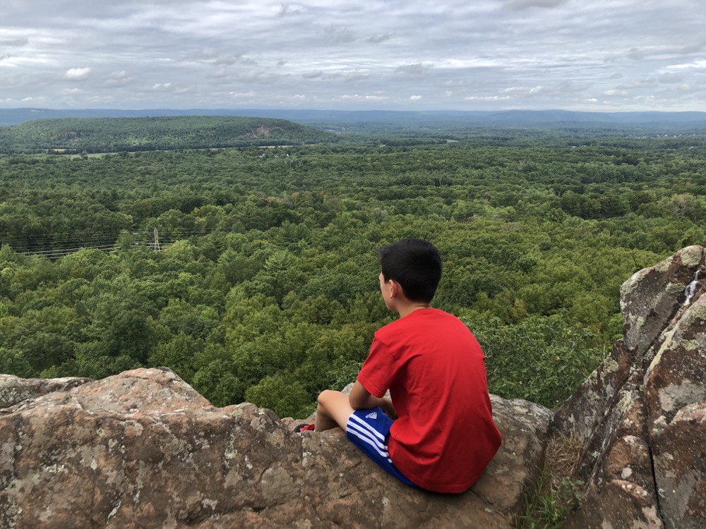
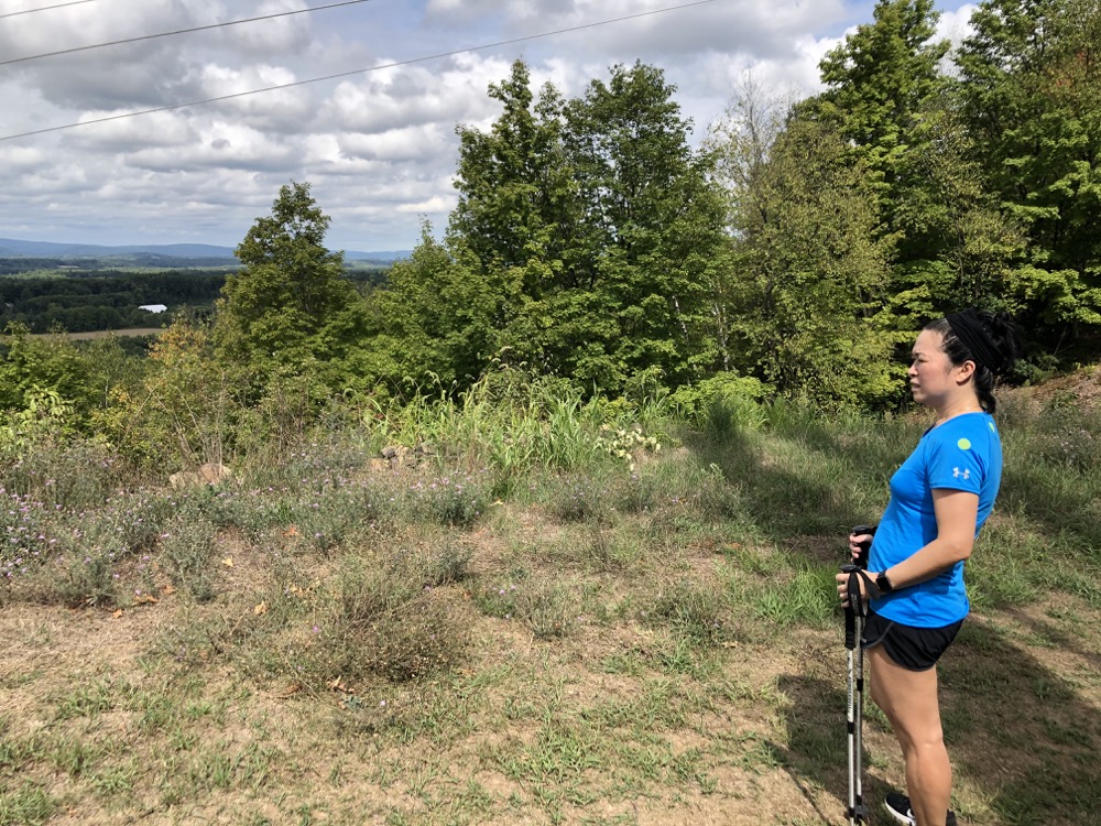
This is such a great stretch of trail to finish up with. Yes, these western valley views off the Metacomet Ridge can be had at a thousand spots from Meriden to Suffield, but so what. They’re always great and rewarding – especially for people who don’t normally lace up and hit the trail.
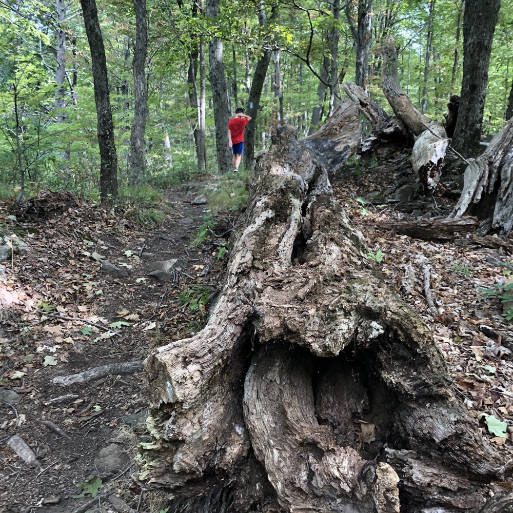
As we crossed from East Granby to Suffield, passing an actual legal campsite, I began thinking about our time on the trail.
Sure, it took us forever to get to this point. If Hoang wasn’t part of the Metacomet promise, I’d have finished it years ago. But I’m glad I didn’t do that – plenty of other trails to do on my own. Also during those years, the Metacomet, historically part of the MMM (Mattabesett, Metacomet, Monadnock) trail from central Connecticut to southern New Hampshire, received the federal designation of National Scenic Trail.
This effort was begun in 2000 and signed into law by President Obama in 2009. Wow, the government worked faster (9 years) than we did hiking the trail. In 2013, an extension was blazed and cleared down to the Long Island Sound in Guilford – the Menunkatuck Trail.
Over the years, a few official campsites have been added to aid in thru-hiking efforts. When we started, there was nowhere to legally camp along the length of the trail in Connecticut. Now I believe it would be totally feasible to do. I look forward to seeing more people walking through suburban Connecticut with full packs on.
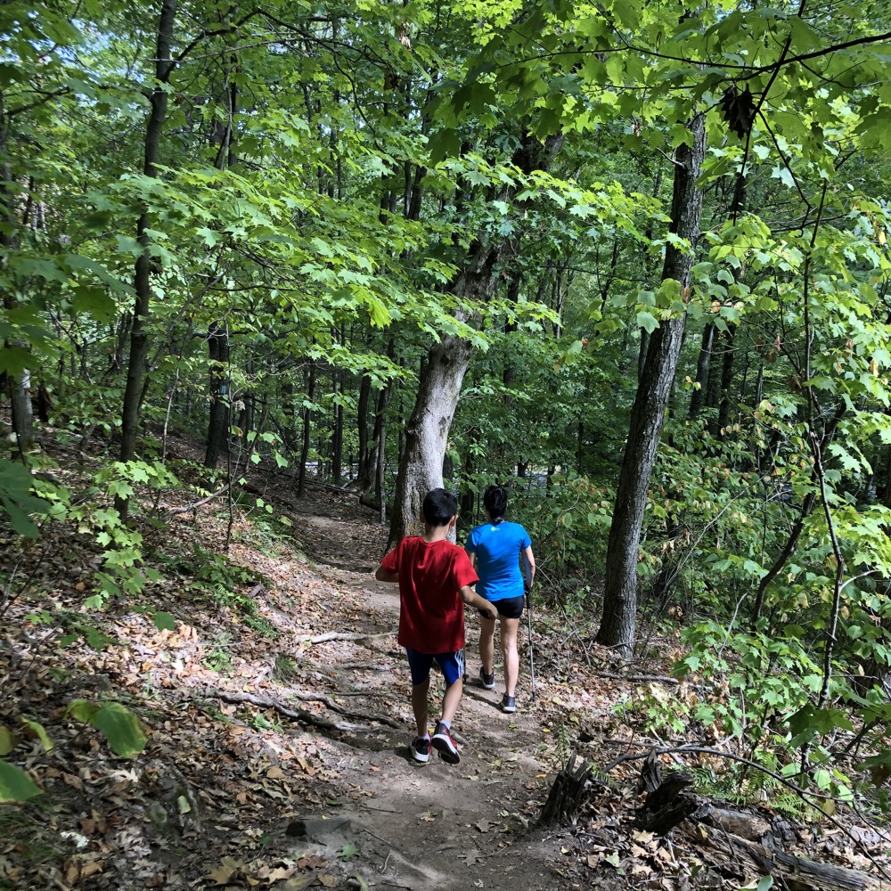
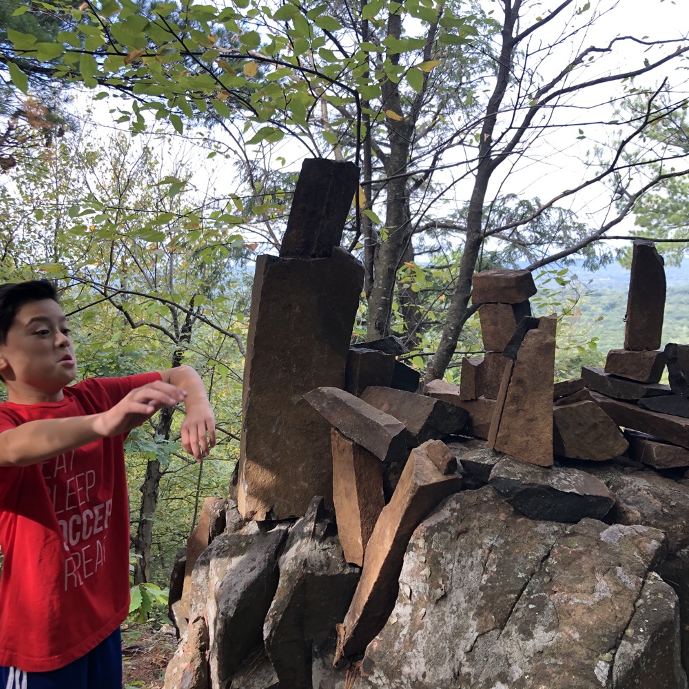
Which brings back to where we were, to a campsite near the East Granby-Suffield border. Cool. There are a few more lookouts along the way, a few with really cool basalt chimney features. I’ll miss you, Metacomet Ridge western views…
At one outlook, I pointed out a few features to Calvin. Granby’s Western Barndoor Hill that he hiked with his brother and me in 2014! We could make out the Farmington Canal Heritage Trail that we’d biked back in the summer! I explained how we were staring at Massachusetts when looking west because of the Southwick Jog. On and on, describing many trails in the area.
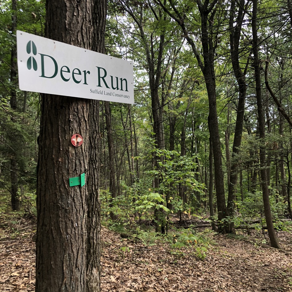
There are, of course, dozens of trails that course up to this ridge almost the entire length of it. And I think I’ve hiked pretty much all of them. We passed by Deer Run, a green-blazed trail that travels east to Suffield’s Sunrise Park near the summit of West Suffield Mountain.
Sunrise Park is an interesting place. Go ahead and hike down the green-blazed trail and you’ll be confronted with signs stating that the park is for Suffield residents only. The problem with that is that the Connecticut state supreme court ruled that such restrictions are not legal. The town is struggling with non-residents (like me) using “their” space, but I think it’s more an issue with swimming in the pond, not hiking mostly unloved trails.
The local land trust owns a parcel up here too, the George A. Harmon Woodlot. Which is nothing more than a sign, really. A descent to Phelps Road/route 168 followed, which took us through the Suffield Land Conservancy’s Spencer Woods property. I hiked the Metacomet here in 2017 and poked around the property, which includes a large chimney with some benches. If you’re into that.
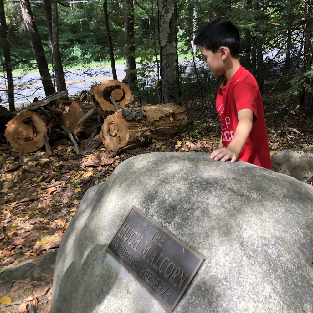
Once across the road and back into the woods, we traversed yet another SLC parcel: The Hugh M. and Howard W. Alcorn Preserve. I hiked this place in 2017 as well and guess what? There’s another chimney there!
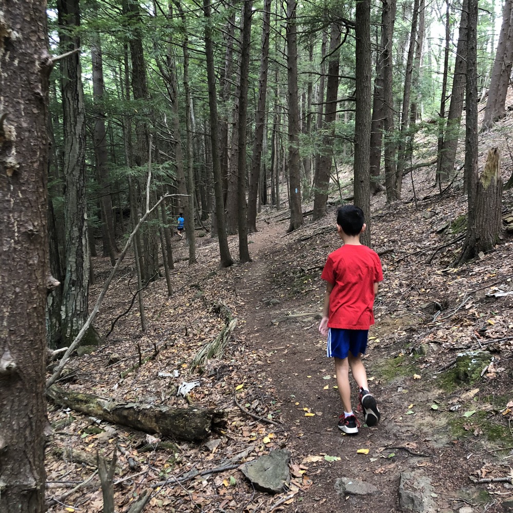
From this point, the trail continues north through some heavily-logged forest; mostly culling dead hemlocks. The ascent back up to the ridge isn’t too steep, but there are still views to be had. Granted, the “best” one is at a power line cut, but it’s the last one in Connecticut, so we enjoyed it for that reason alone.
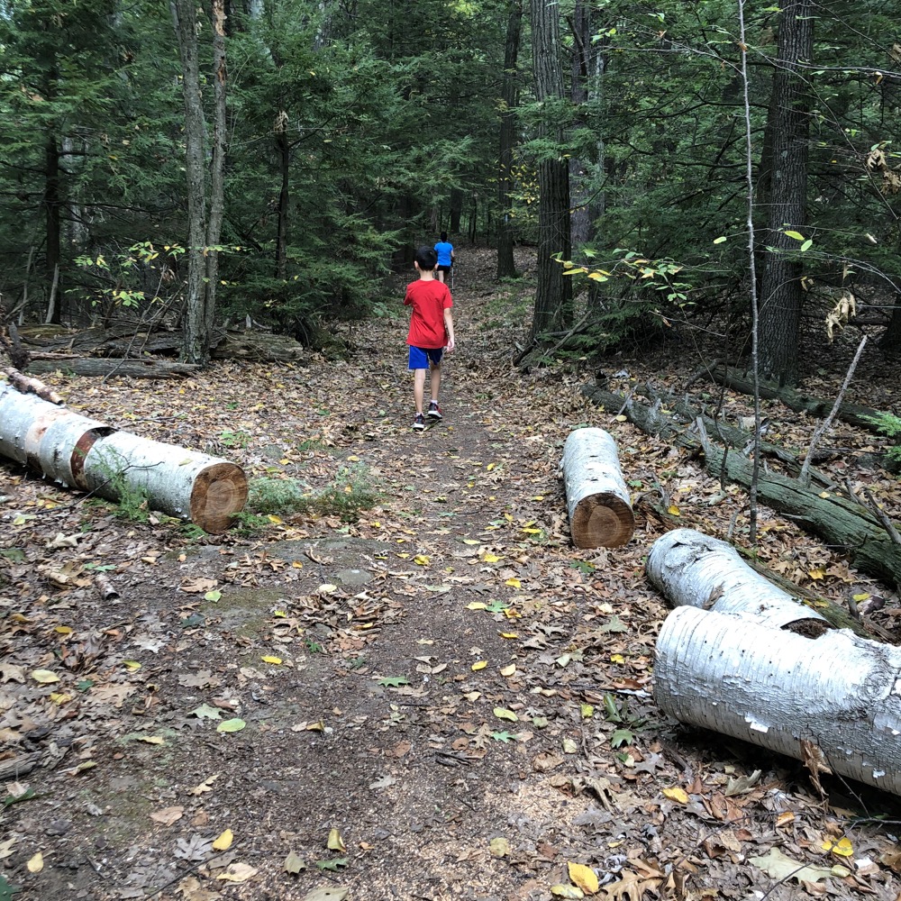

After some mild ups and downs, the mighty Metacoment then descends over the course of nearly a mile. After side-hilling through a massive stand of white pine, our surroundings changed dramatically from what we’d experienced so far on the day.
We were in lowlands now; swampy wetlands necessitate puncheons and circuitous curves around swamp maples and other lowland trees. Biting insects appeared and Calvin whined for the first time on the day. But then this happened:
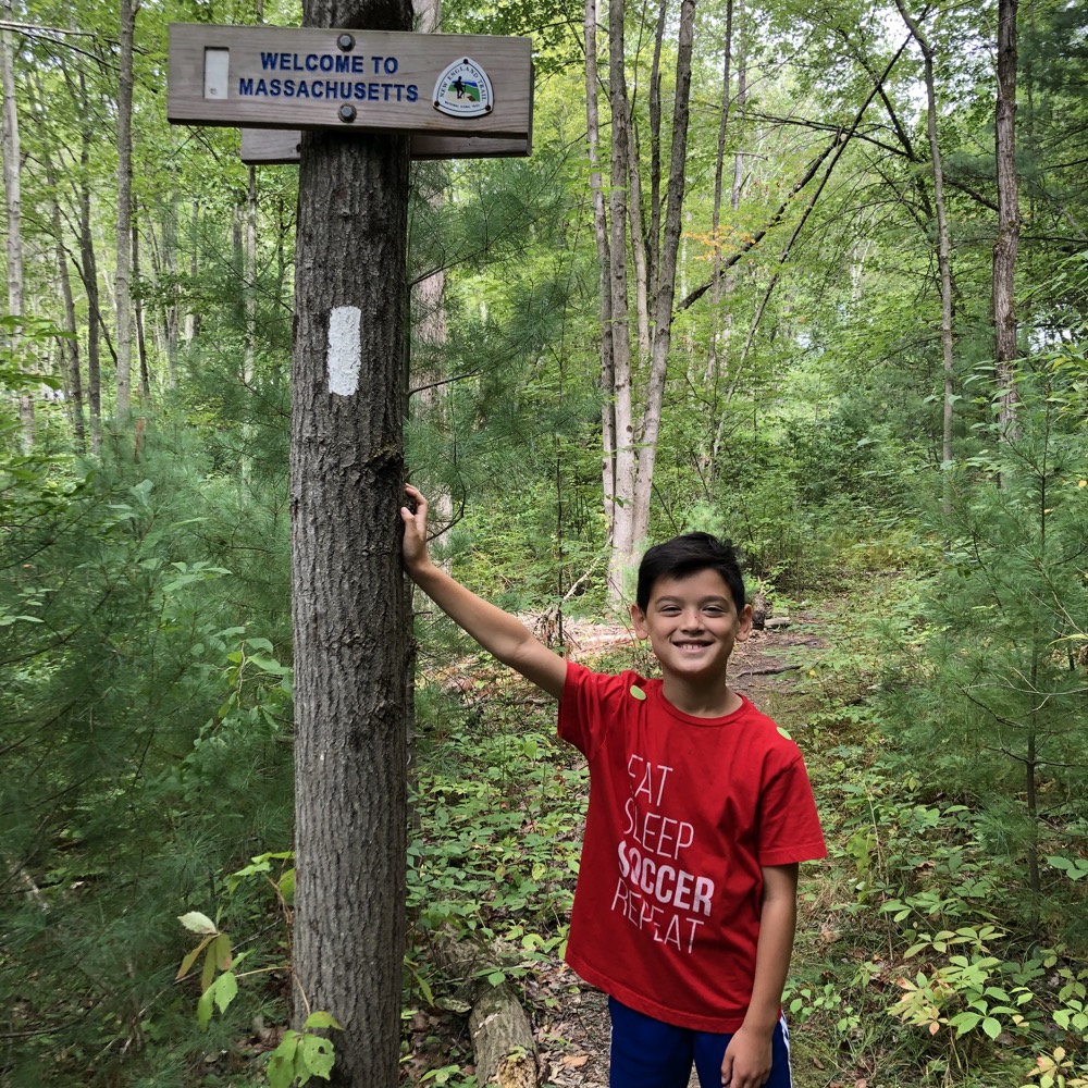
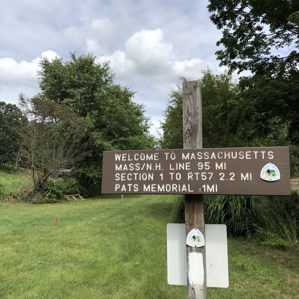
Yes friends, we’d reached Massachusetts! Awesome. (The familiar blue blazes turn white here.) Hoang was in “just get it done” mode and was plowing up ahead to the car. But Calvin and I took a moment at the border to talk about how the trail continues all the way through Massachusetts to the New Hampshire border. In fact, there are a few more Massachusetts Metacomet miles (95) than there are Massachusetts Appalachian Trail miles (90).
But it was when I told him that the trail actually continues on to the summit of Mt. Monadnock that he became even more interested. He loved summiting Monadnock and when I then told him that from there, we could continue hiking to Canada or even west to Minnesota or whatever, I saw it…
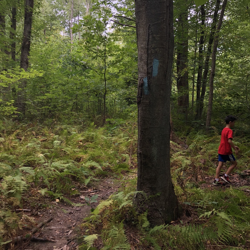
I saw it in his eyes. That long distance hiking bug. That completist fire. That idea that we could walk out the front door of our house, up our street in West Hartford, up the hill to his buddy’s house, traverse the trail to West Hartford’s Reservoir Number 6, head north to the Heublein Tower via the Metacomet Trail, on to the Massachusetts border, to Mt. Monadnock, and then onward to Canada. It’s in him. The bug. I have succeeded as a father.
While I can’t pretend that my wife has those hopes and dreams, or really, anything remotely resembling them, I love her to pieces for never letting me complete the Metacomet in Connecticut on my own. Sure it took nearly 14 years to do it with her, but I loved every minute of it. I love that she held out and that I was patient with synching our calendars to make it work.
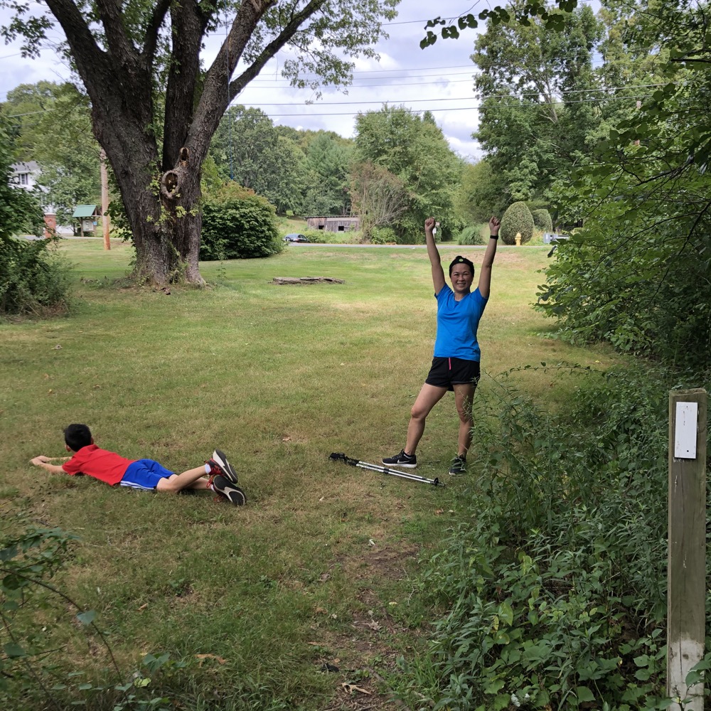
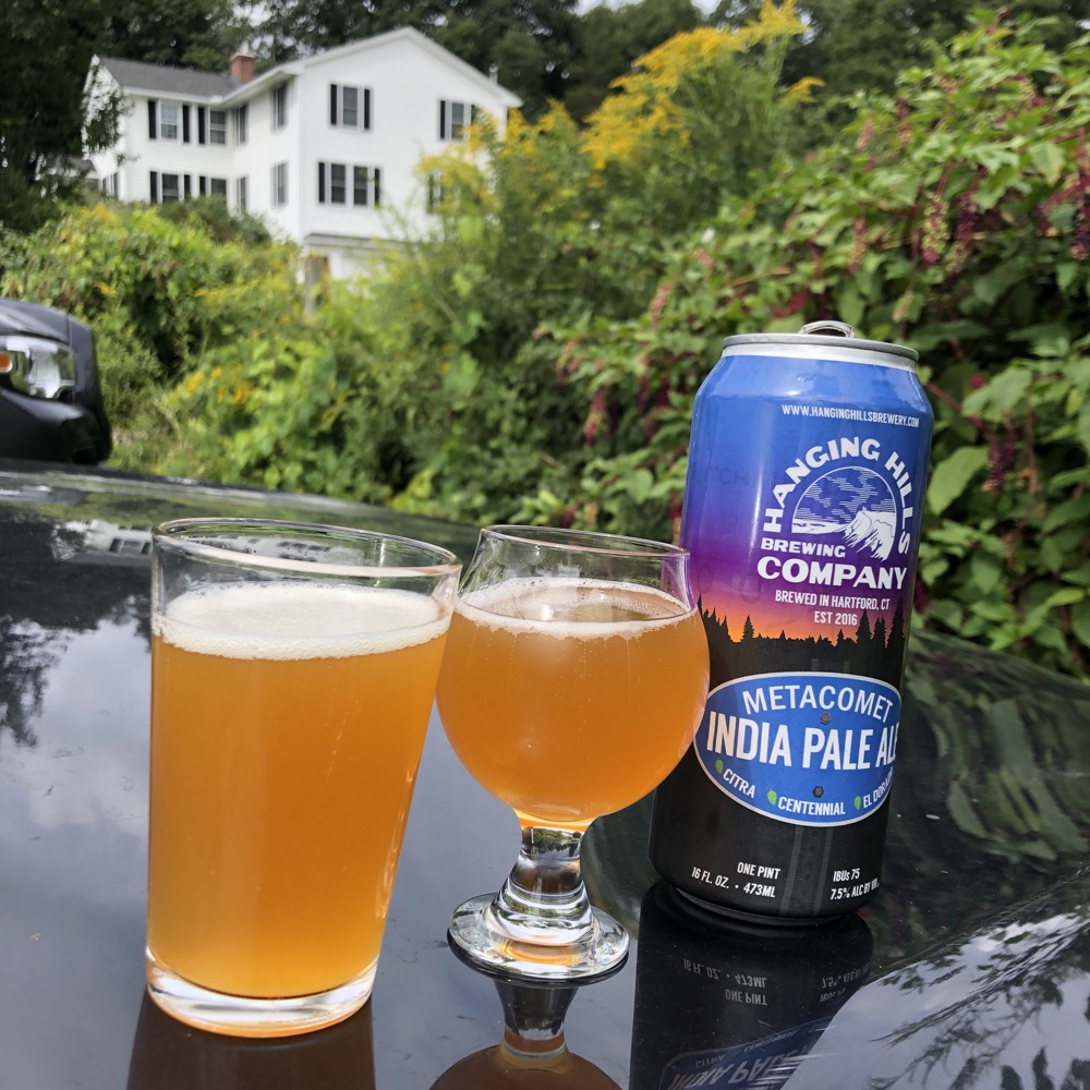
We reached our car and celebrated our shared accomplishment with Hartford’s Hanging Hills brewery’s Metacomet Ale. Which isn’t only a beer honoring the trail we’d just completed, but it sort of offers a nice coda to the trek – since Meriden’s Hanging Hills are about 60 miles south of where we stood, near the beginning of the Metacomet in Connecticut.
I don’t know if or when I’ll continue north into Massachusetts. I have so much more to explore in my home state… but something tells me that Calvin will want to pursue the goal at some point. Until then, thank you to the CFPA and the huge army of volunteers who maintain and advocate for the organization and its trails.

![]()
CFPA Trails Map
New England Trail
CTMQ’s Metacomet Trail Intro

 Dave says
November 16, 2020 at 3:32 pmI section hiked the entirety of the New England Trail this year, and am glad to see it getting some recognition! The Guilford section is definitely worth a day trip if you haven’t been, they’ve got a proper Southern Terminus structure set up, and a gorgeous, short boardwalk to the shoreline.
Also, the character of the trail changes significantly once you reach MA, with Mt. Tom and the Seven Sisters sections ramping up the elevation compared to CT; definitely worth the effort to hike the northern part of the trail!
 Cecilia C. Harman says
April 10, 2023 at 12:44 pmA bit late, I know, but great post and congratulations on completion and instilling the bug! Hiking this section from rte. 20 to Mass. tomorrow.