For Next Time Someone Tells You to Get Lost
Nathan Hale State Forest Trails, Andover & Coventry
September 2021
I only regret that I have but one hike to give for this forest.
Okay, I could probably go back and do more, but then my hackneyed rephrasing of state hero Nathan Hale’s famous last words would make even less sense. Ah, yes, Coventry-born Nathan Hale, the martyr soldier of the American Revolution, hanged as a spy in New York in 1776. the “I only regret that I have but one life to lose for my country” guy.
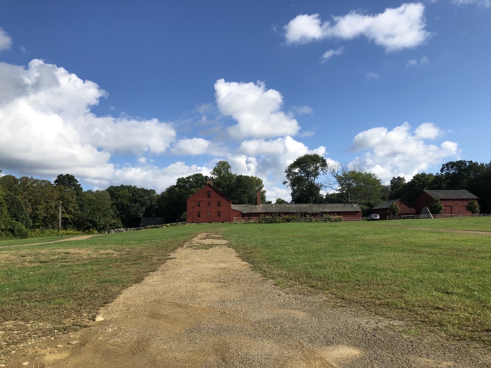
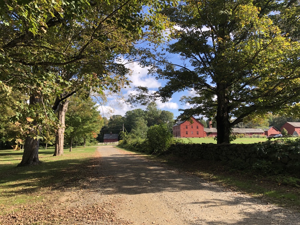
Now his home is a nice historic house museum, deep in the Coventry woods near the Andover line. And not just any woods, but the Nathan Hale State Forest woods.
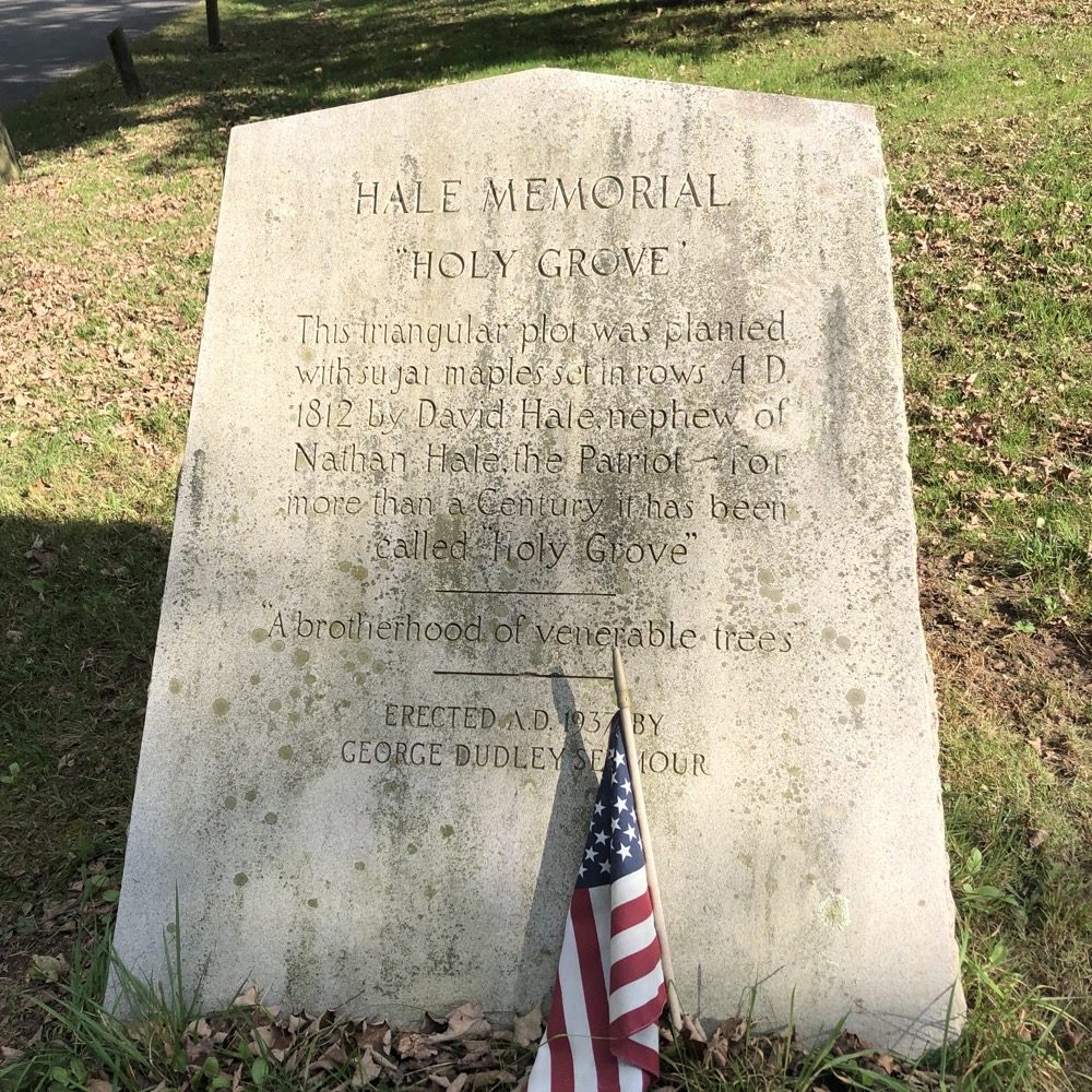
The NHSF was the 26th forest added to the statewide system in 1946. But this area was being cared for much earlier than that; the groundwork for preserving the Nathan Hale homestead, farmland, and forest began in 1914 when George Dudley Seymour began purchasing land in Coventry. At that time, Mr. Seymour purchased the 850 acres which included the Hale Homestead and other historical sites with the hopes of restoring the property to a state comparable to that which existed during Nathan Hale’s boyhood.
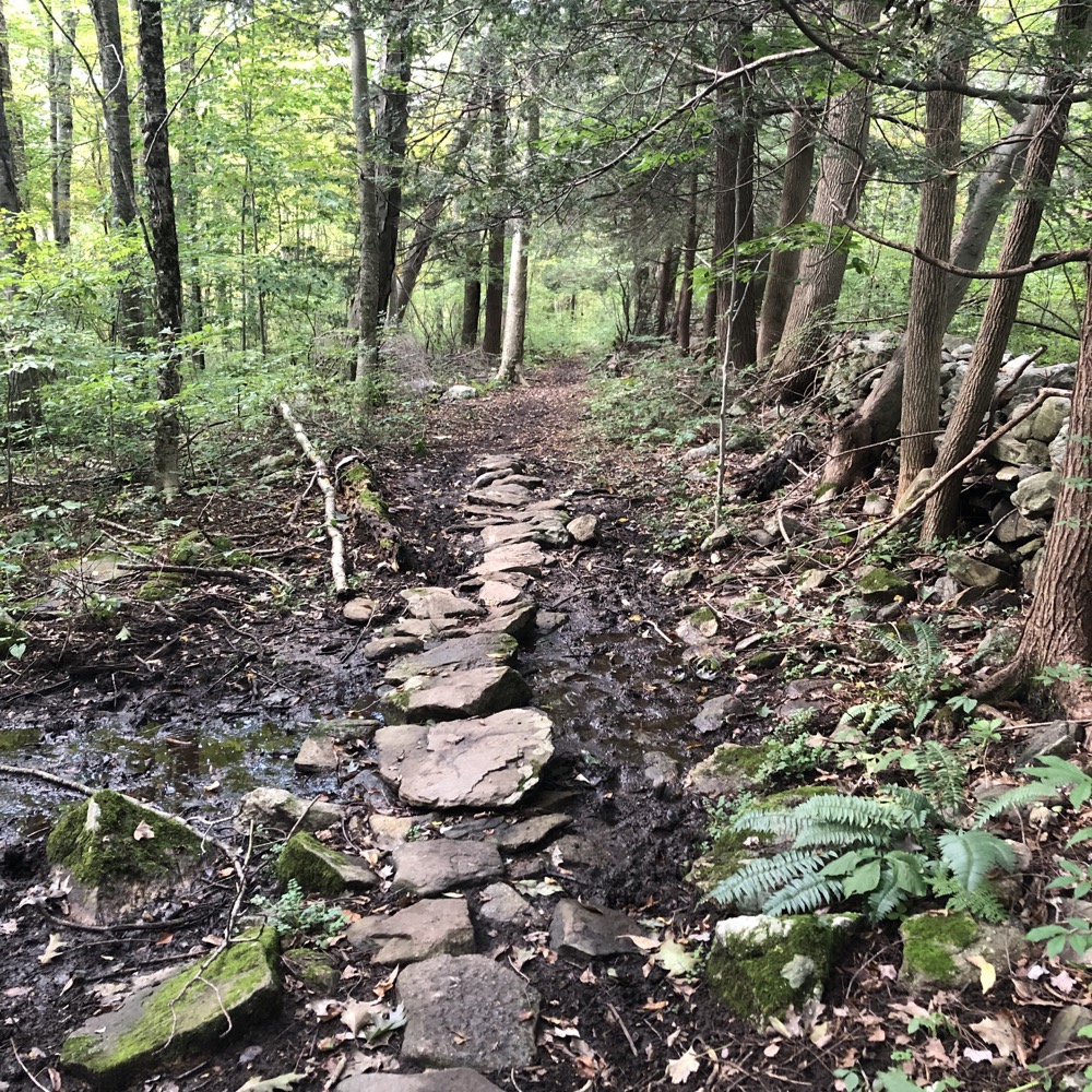
Man, Seymour did so much for Connecticut and his name barely registers when people talk about important Connecticutians. As the land has reverted from farm to forest since the late 1800’s, Mr. Seymour developed a management strategy based on his interests; forest management for timber products and wildlife habitat. In the 1930’s and with the influence of two forester friends, he began establishing conifer plantations and planted the forest boundaries with hemlock and arbor-vitae – some of which can still be seen today.
Since acquiring the land, the state has made additional acquisitions and today the forest totals 1,529 acres. Under state control, the forest has produced tobacco poles, Christmas trees, and sawtimber which have been sold as products of management activities. From 1946-1972 Douglas fir, Black locust, Siberian Pine, Hemlock and Tulip plantations were established, pruned and thinned. Former State Forester, Harry McKusick, used the forest for experiments such as below ground wood preservation, herbicide effectiveness and cold hardiness of conifer species. During that time, McKusick also harvested logs from the forest that were sawn into picnic table stock for the Parks Division. Currently, the state forests of Connecticut supply enough wood to the Department of Energy and Environmental Protection (DEEP) Parks Division to build 500 picnic tables a year.
Man, this is great information, isn’t it? It’s good to know our state doesn’t need to buy picnic tables; we build our own. But here’s the important thing to know about the NHSF:
There are no authorized trails in NHSF. The Seymour donation included specific language in the deed that the forest was “to be managed as a state forest… in accordance with the principles of scientific forestry, with special reference also to wildlife conservation, including appropriate provision for bird and game sanctuaries.” Skid trails and interior forest roads exist and are open to the public for passive recreation. However, creating access, parking areas and additional recreational trails is not a goal or objective of the DEEP Divisions of Forestry and Parks.
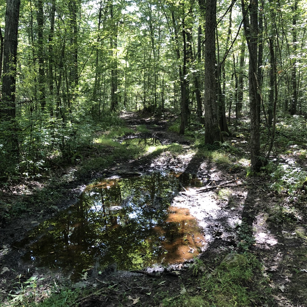
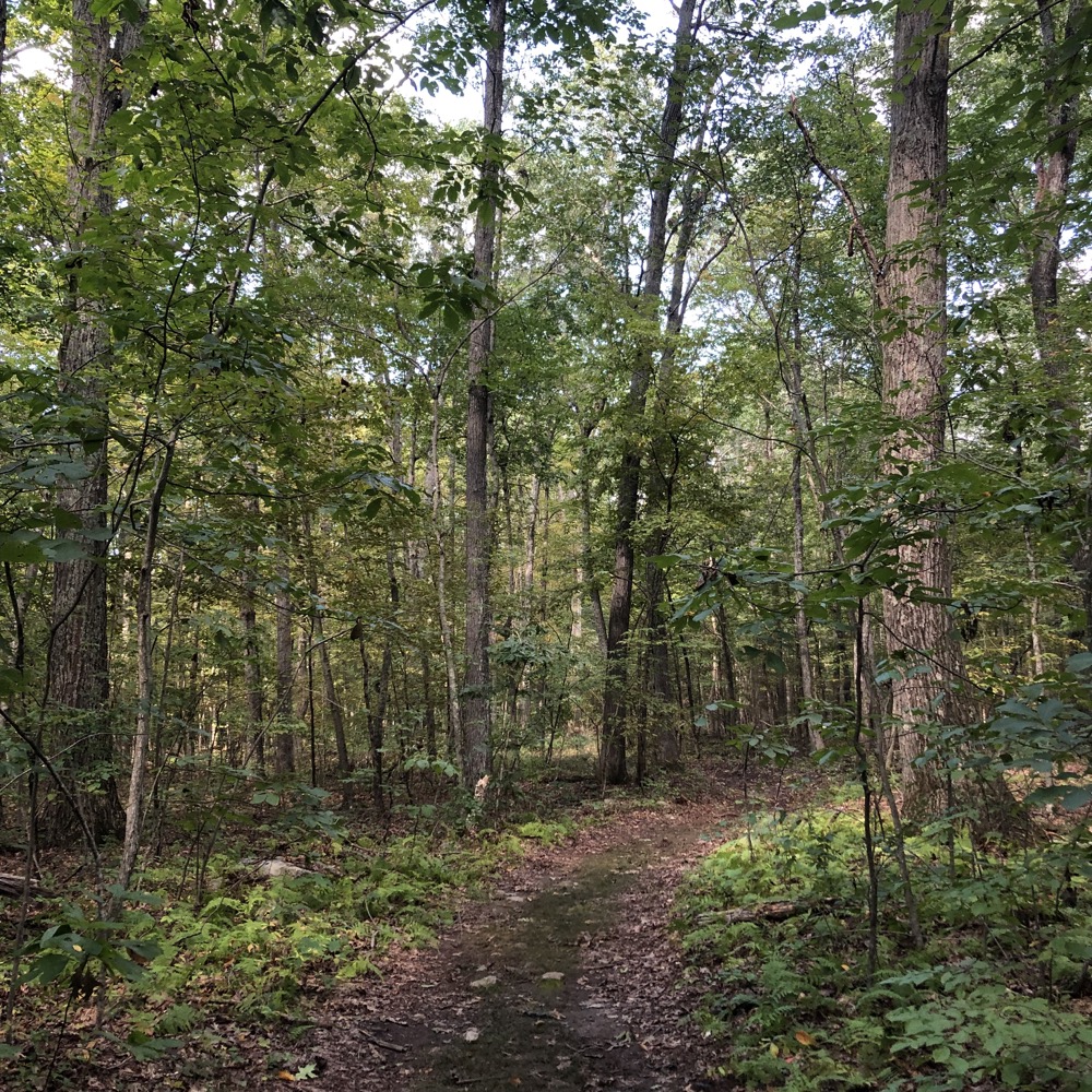
As such, no one maintains trails and there are no trail markers, trail maps, or post trail markers or signs in the forest. You’re on your own, brothers and sisters.
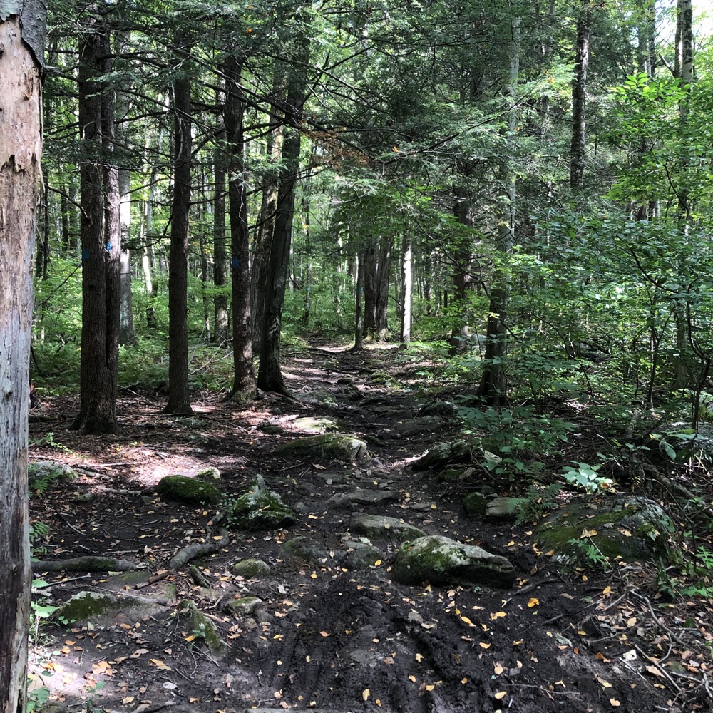
But that’s not to say there are no trails. There are a ton of trails. Most of them fairly well-maintained in fact. And there are rogue trail maps. Ranging from the, “You’re gonna die” variety…
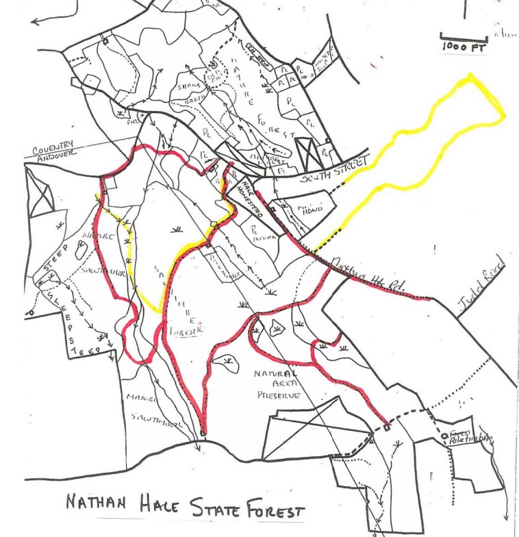
… to the “wow, who has time to map all that” variety:
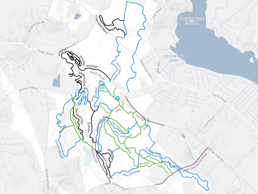
The second, better one is from mountain bikers with GPS trackers. I can report it’s also not completely accurate, but that’s no one’s fault. It’s just the nature of the beast.
I parked behind the Hale Homestead and didn’t really have a plan. I never planned to redline the forest, as there are just too many trails going every which way.
I simply wanted to get the full flavor of the place. It is pretty evenly split between Andover and Coventry. Any dream of staying on the wider forest roads was quickly diminished as I found myself following much smaller tracks as I kept thinking I would find something more interesting “up there” or “over there.”
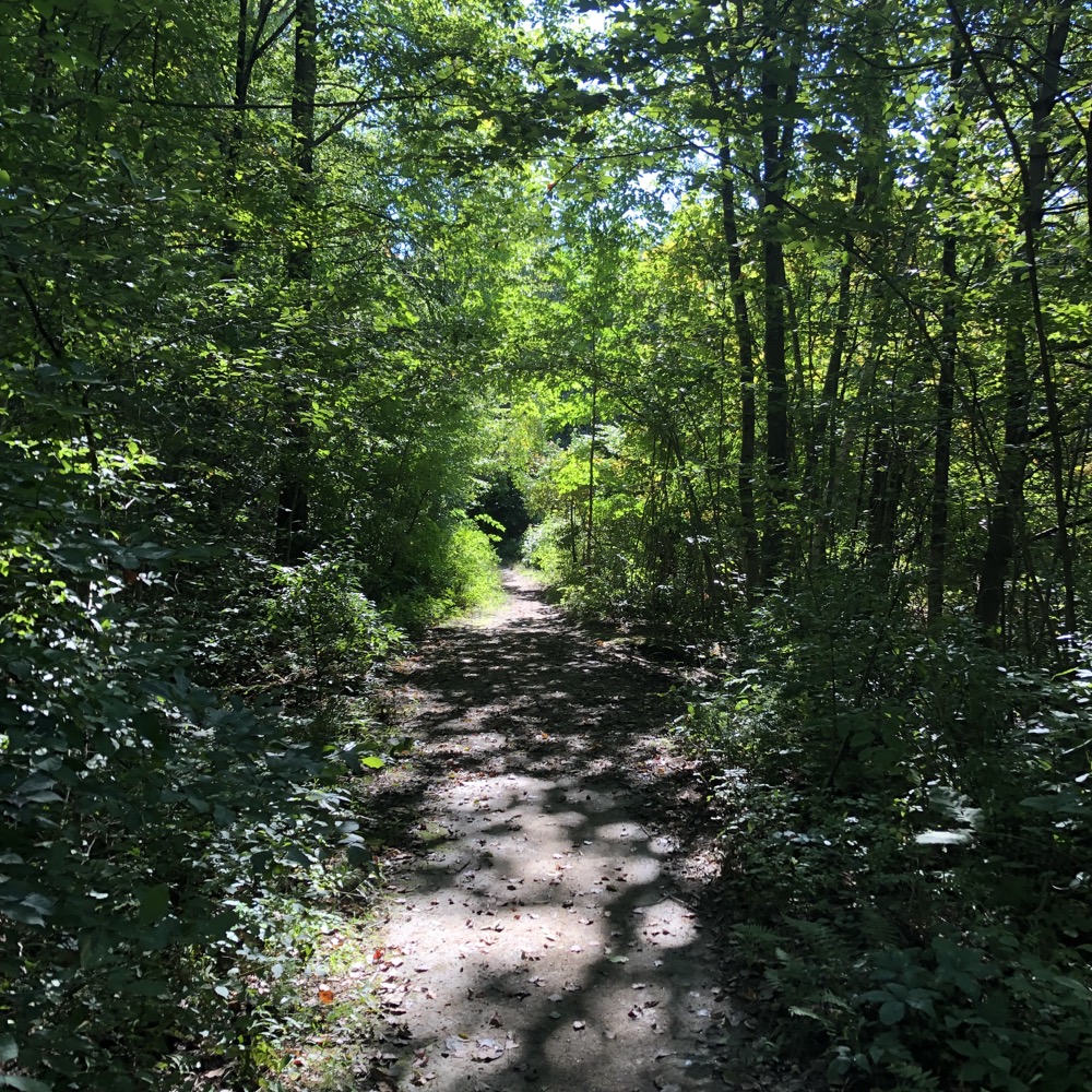
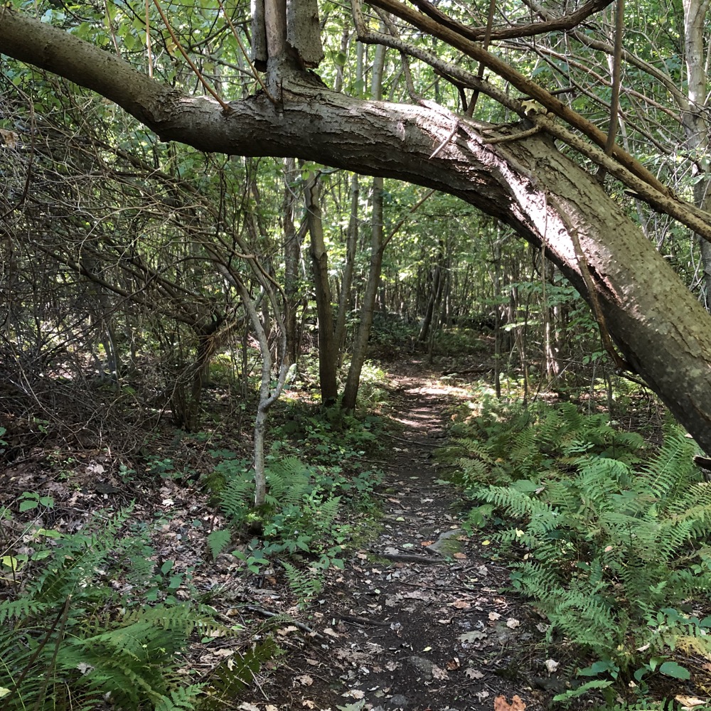
I started out heading generally southeast along a wide path behind the historic property and the large lawn next to it. My goal was to complete that far southeast loop if only to find a something called “Dog memorial.” With no blazes and seemingly infinite criss-crosses and side loops, I was never sure if I was on the trail I wanted to be on.
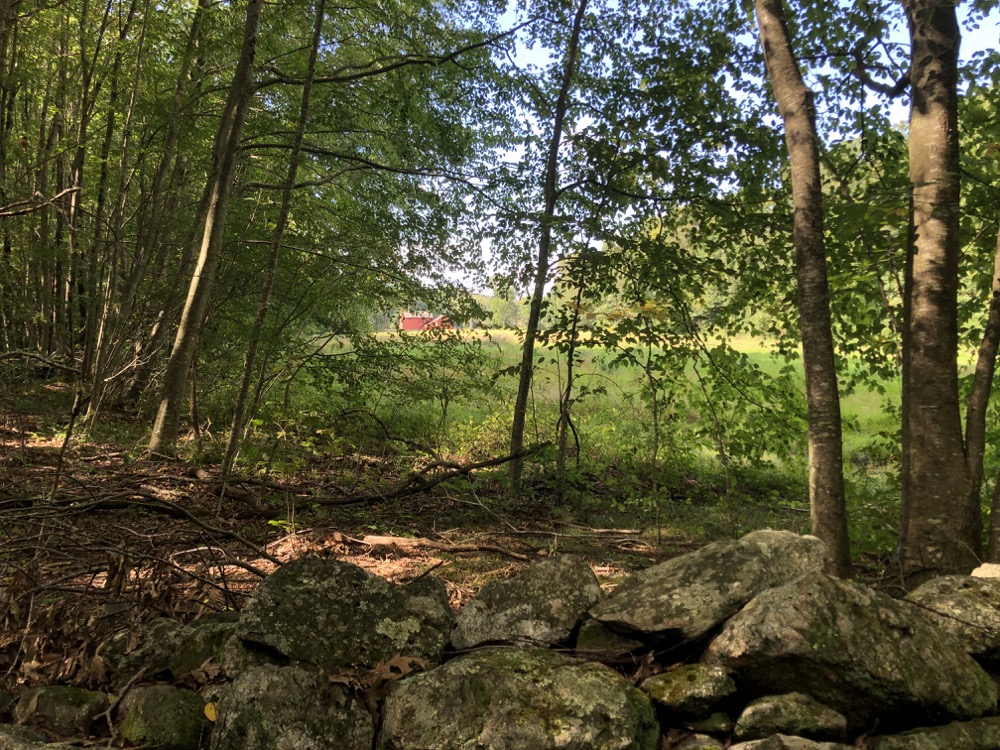
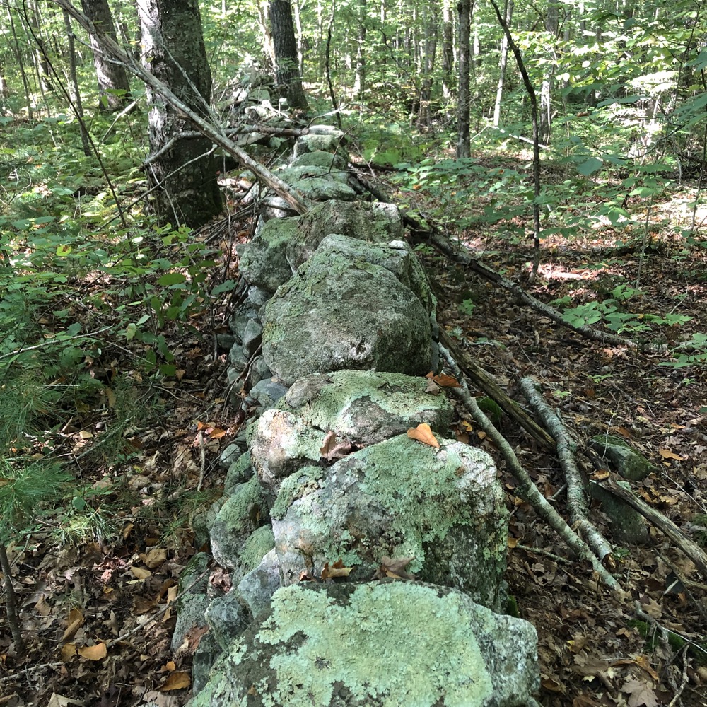
I didn’t really care, as these are nice enough woods. Lots and lots of stone walls are strewn through the forest, testaments to the farms that existed here in Nathan Hale’s time. The mosquitos were fierce, as they were everywhere in the late summer of 2021, but fortunately they never bother biting me. It’s nice to be a distasteful old goat I guess.
I never found the “dog memorial,” but skimming Flickr or some such, I came across a picture of it. Turns out, it was taken by my friend and fellow West Hartfordite Steve Raboin, so I’m stealing it. Thanks, buddy:
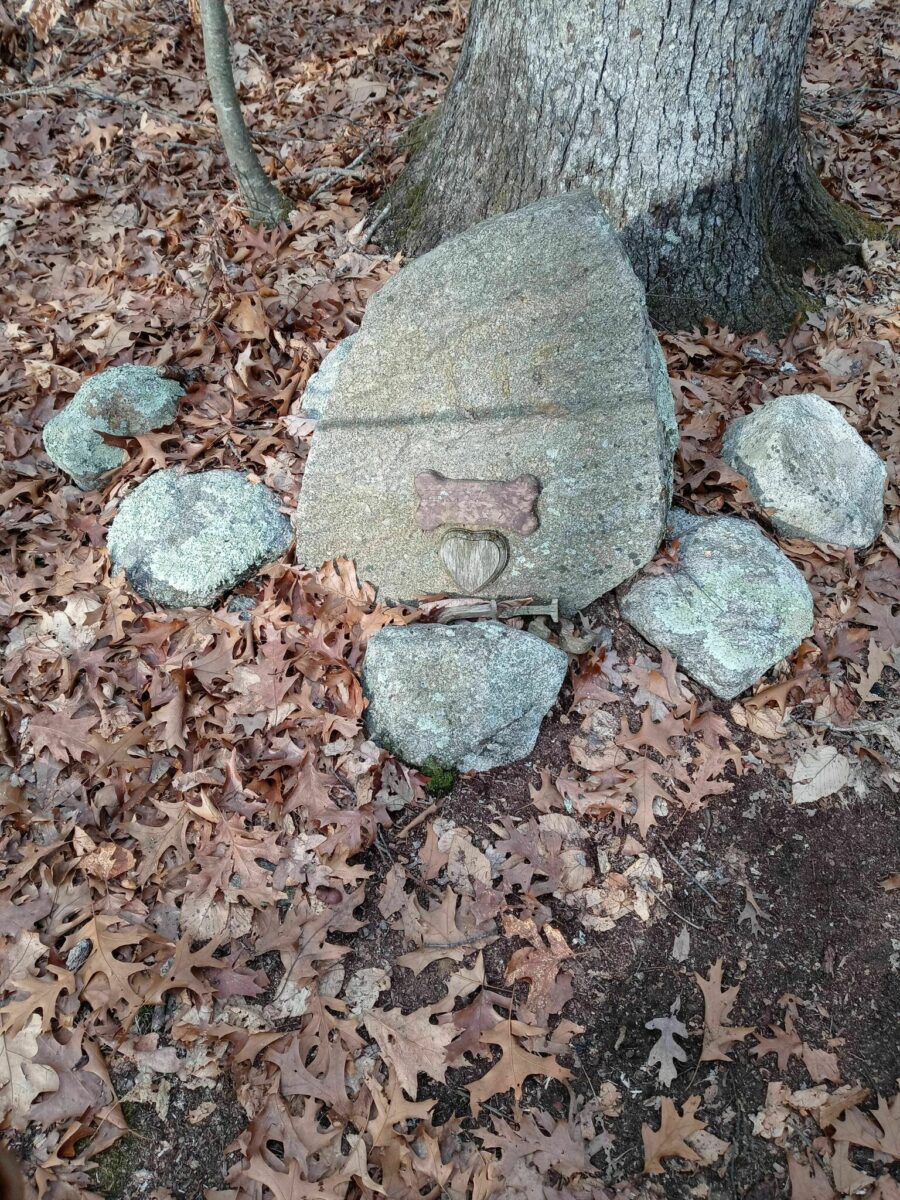
Looking at it, I now know why I didn’t notice it. This thing is way, way out in the woods and is a weird, far-flung place to bury a dog. While I’m stealing pictures, here’s another one of a NHSF tree Steve took. Since it’s better than anything I have, here you are:
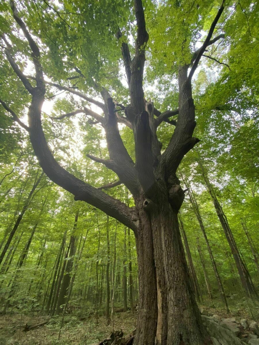
Eh, what the heck. Let’s go for three. There’s another thing here – nowhere near the dog rock – called “The Ford Tree.” What’s that? It’s this:
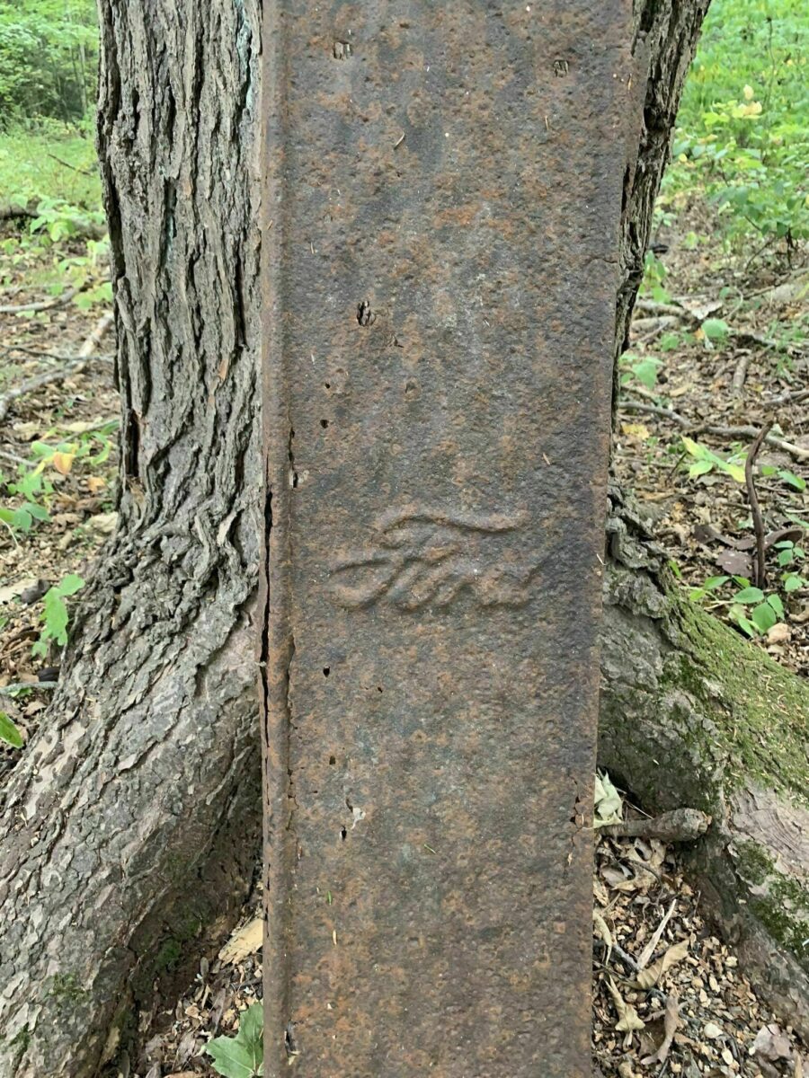
I completed the southeast loop and then took a random series of trails in the southern portion. I went this way and that, coursing up near Bear Swamp. The Nathan Hale Natural Area Preserve is down here, which isn’t remotely interesting, but I wrote about it anyway. I was careful to always keep my bearings as best I could; at least always aware of which way was north.
I found a main forest road but, lo! A path to the right along a stream looked interesting as it was very, very dark. Boughs overhung the trail and it had a very Brothers Grimm look to it. So of course I followed it. The thick laurel yielded to thick hemlock and pine, completely blotting out the bright sun above.
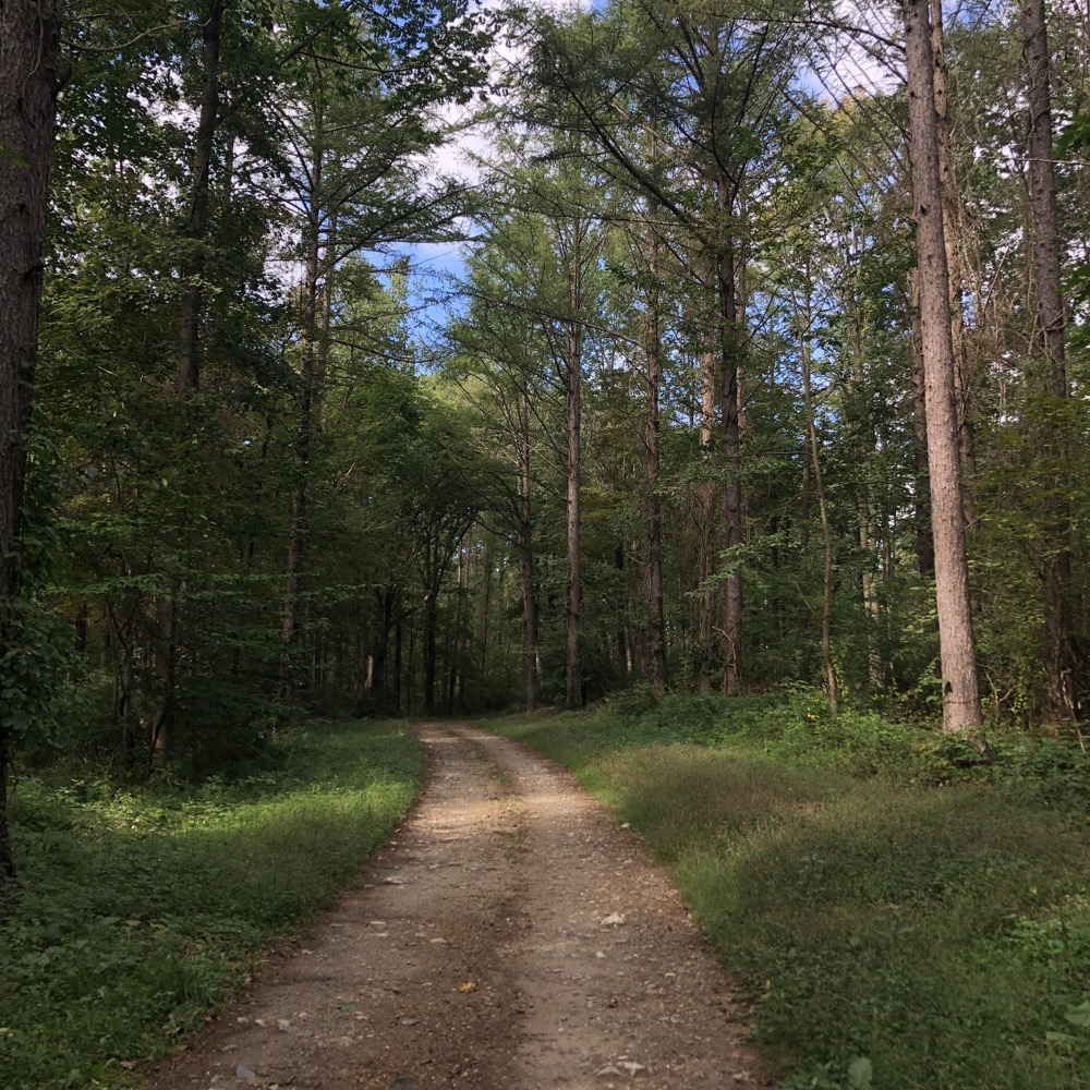
I curled around and then went left, finding my way back to wide path I’d left previously. I ambled around a few more little trails and then tried to make a beeline back towards my car. And by “beeline” I mean “a series of paths that generally and ultimately led northward, eventually.”
I headed west towards Skinner Hill Road but instead went north, across South Street to check out the northern loop. It’s another single-track path that takes bikers and hikers up near Lake Coventry which everyone in the world calls Lake Coventry but is actually called Lake Wangumbaug. I didn’t do the full loop, but instead cut across the middle of it along Seagraves Road.
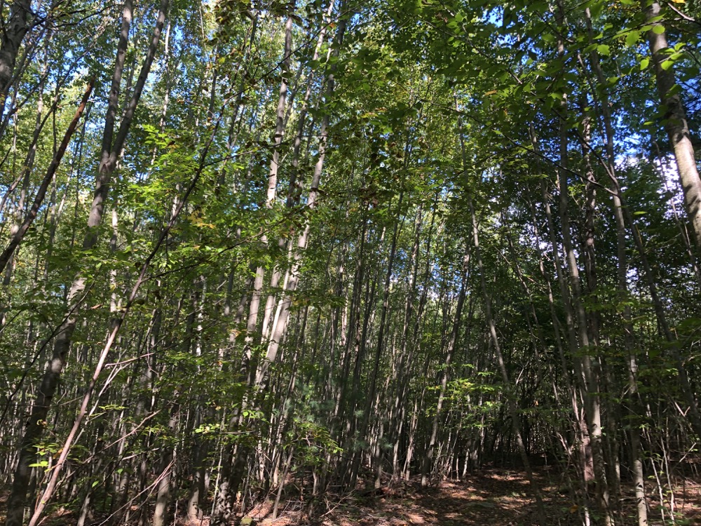
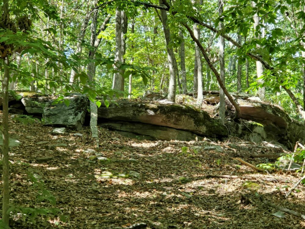
I returned south to South Street and the Homestead and my car. Once again I saw zero humans during my time in the woods on a beautiful late summer Saturday. Granted, this is a bit of a sketchy place to hike I guess if you’re one who relies on blazes and clear and accurate maps.
But still… people, if Nathan Hale can give his one life to his country, you can give one afternoon to checking out a fairly out-of-the-way state forest in Tolland County.
![]()
CTMQ’s Nathan Hale State Forest Intro
CTMQ’s State Parks, Reserves, Preserves, Forests, NAPs, WMAs, & Campsites

Leave a Reply