Well, There Was a Rocky Hill
Quarry Park, Rocky Hill
September 2024
One of the best things about hiking every trail in Connecticut (or so I pretend) is doing zero research on a place before hiking it… and learning it’s a hundred times cooler than you’d imagined it would be.
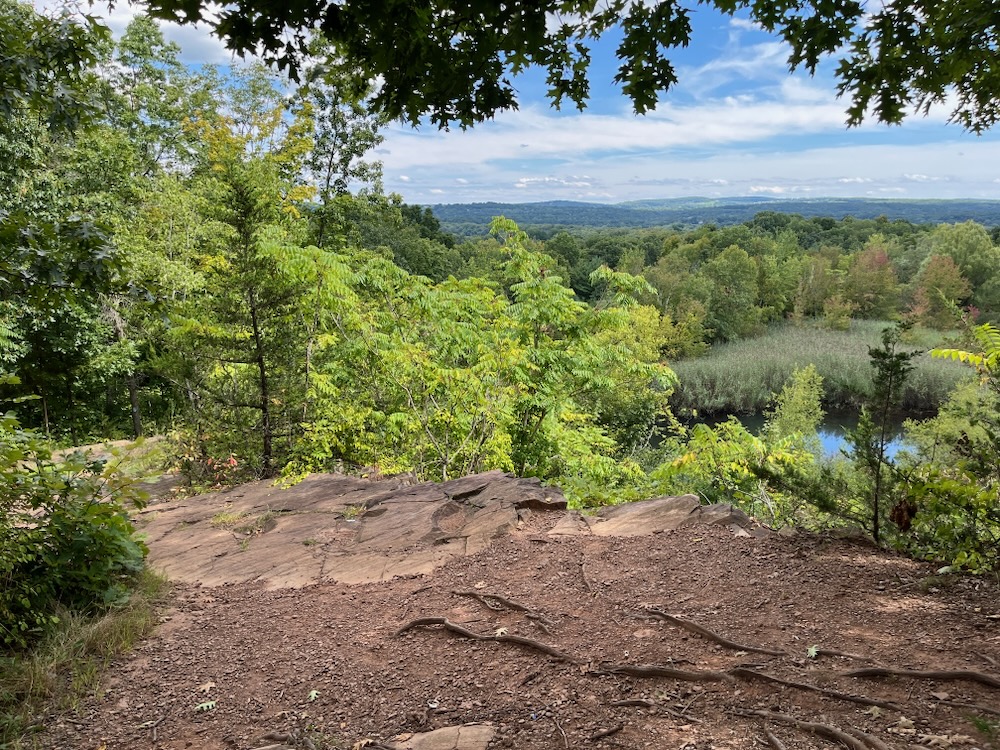
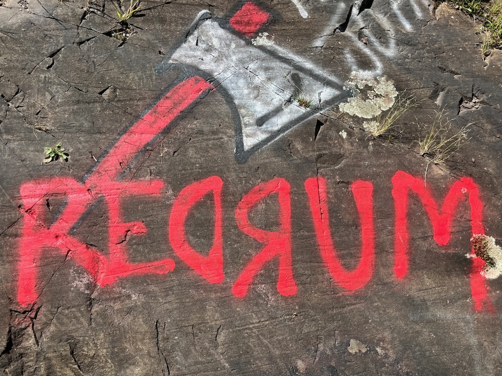
Welcome to Quarry Park in Rocky Hill. And hey, after humping it all over the small, central, river town… I finally found a “rocky hill.” (The town name does derive from the traprock ridge across the town which bothers me because its hardly the defining feature of Rocky Hill.)
There’s a lot going on here, and there are a lot of trails on which to explore it all. A word of caution though – the available maps are not super accurate. And even if they were, they wouldn’t be because there are so many side trails from the locals finding their own ways, and no one is mapping all of them.
But trails aside, let’s start with one of my top pet peeves:
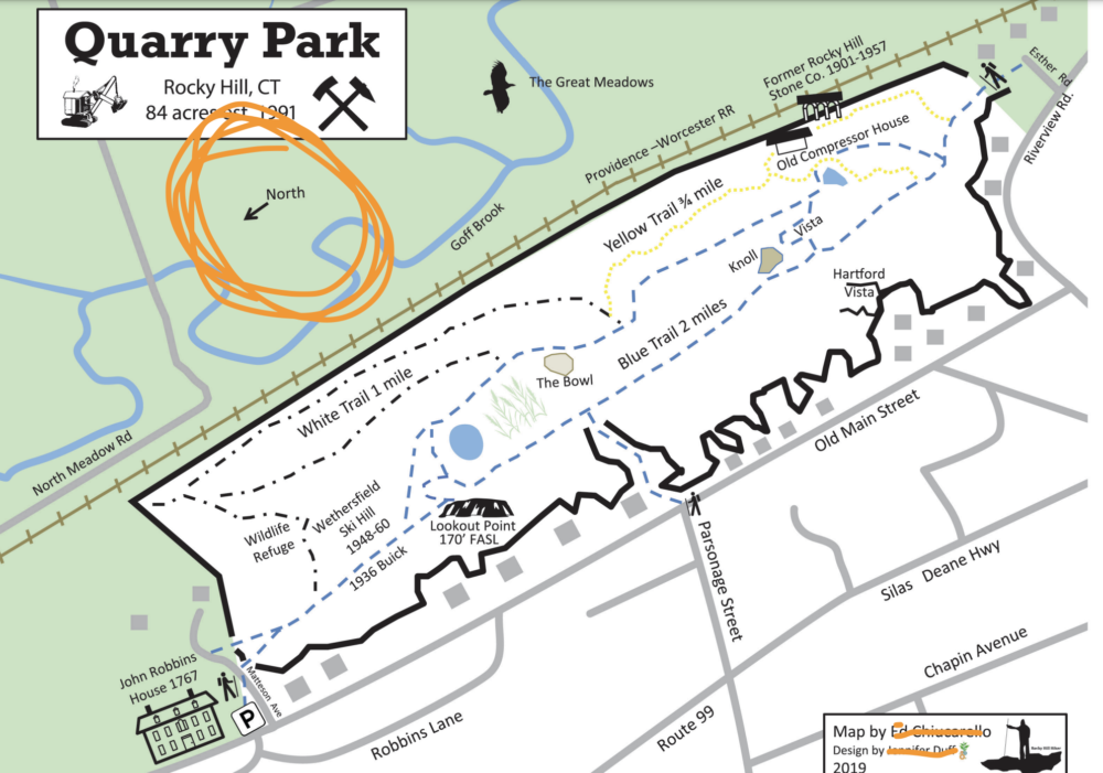
Grrrr @#%@#$
Orient.
Your.
Maps.
North.
Mapmaker’s name has been hidden to protect the guilty.
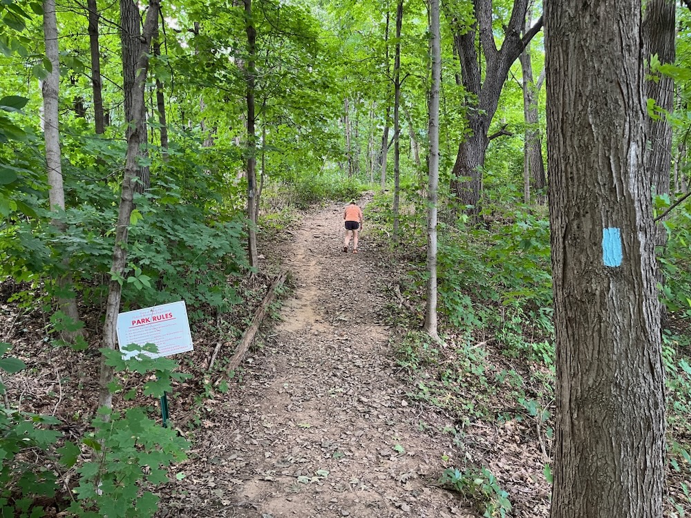
Quarry Park is a state owned, town managed park. Which is mildly interesting to… probably no one. But there you are. I parked at the Matteson Avenue lot and began to walk. There are three main trails here – Blue, Yellow, White. But as you can see on the upside-down map above, it’s not like “blue is just one blue trail,” etc.
So you need to keep your wits about you here… or just go for it and find your way back to your car eventually. I more or less went with the latter.
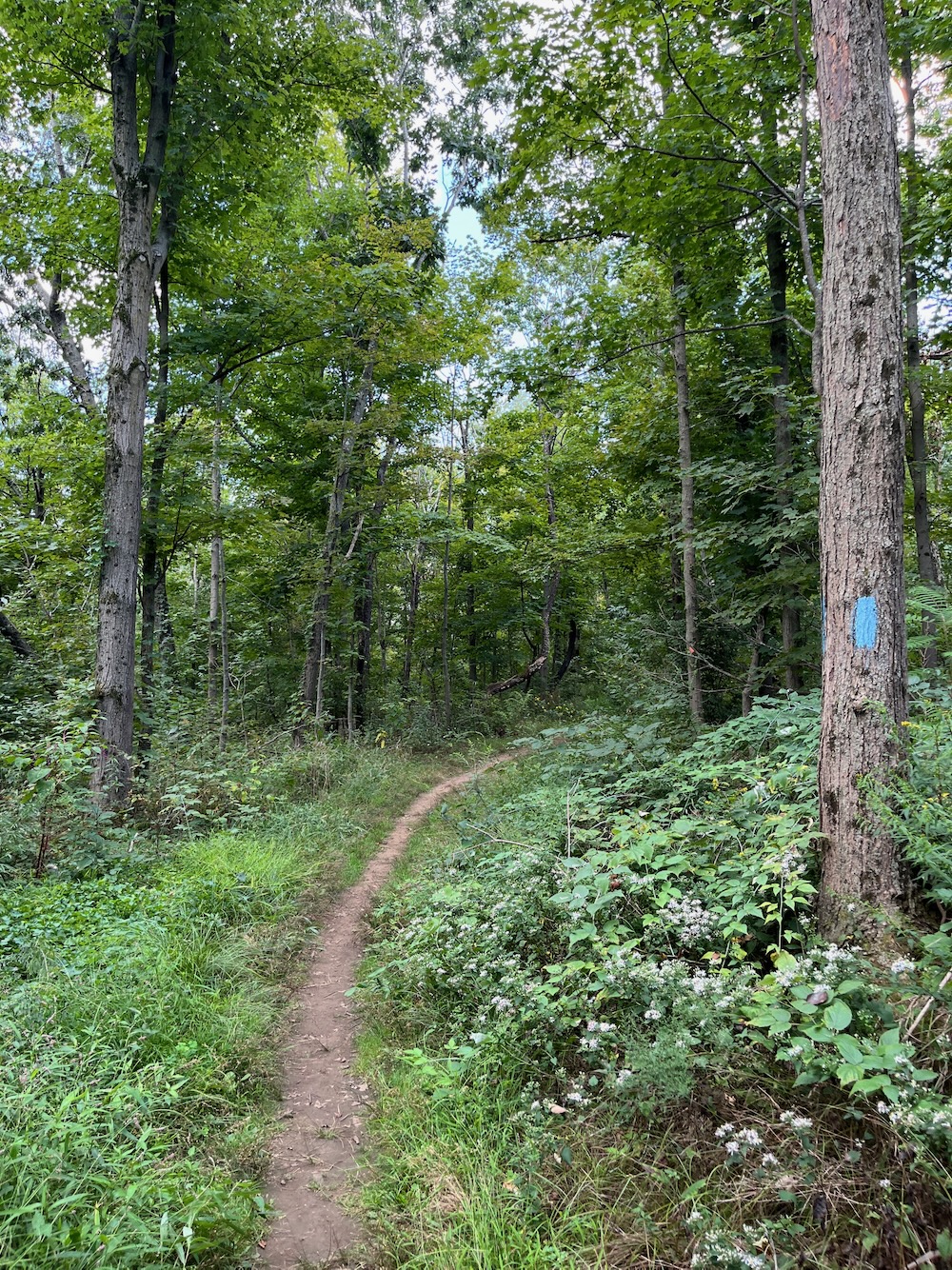
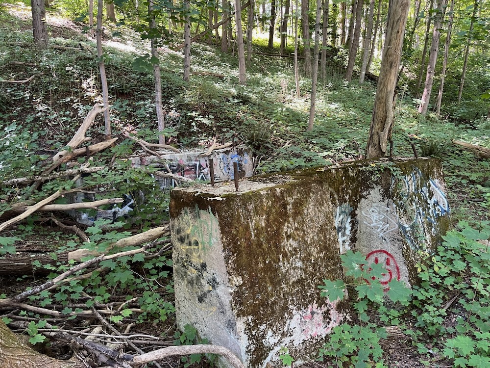
My main quarry was to hit the lookout above the old quarry. The blue trail here is an old road and took me past the remains of a 1936 Buick. Apparently. This is tough to see in the summer, but I caught it:
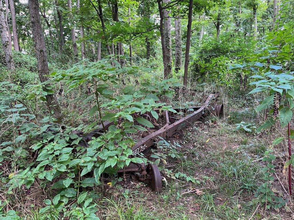
The old car had been set-up to run a ski tow for the Wethersfield ski club, which began in 1948 – when there were no trees here. The real question is why they didn’t clean up their mess.
I was at the top of the quarry pretty quickly and whoa, I didn’t expect the expansive views here. The Rocky Hill Stone Company operated a quarry here for quite a long time; from 1901-1957. The stripping of the top ledge was initially done by hand, with dump carts moving traprock along tracks to be crushed and loaded onto trains.
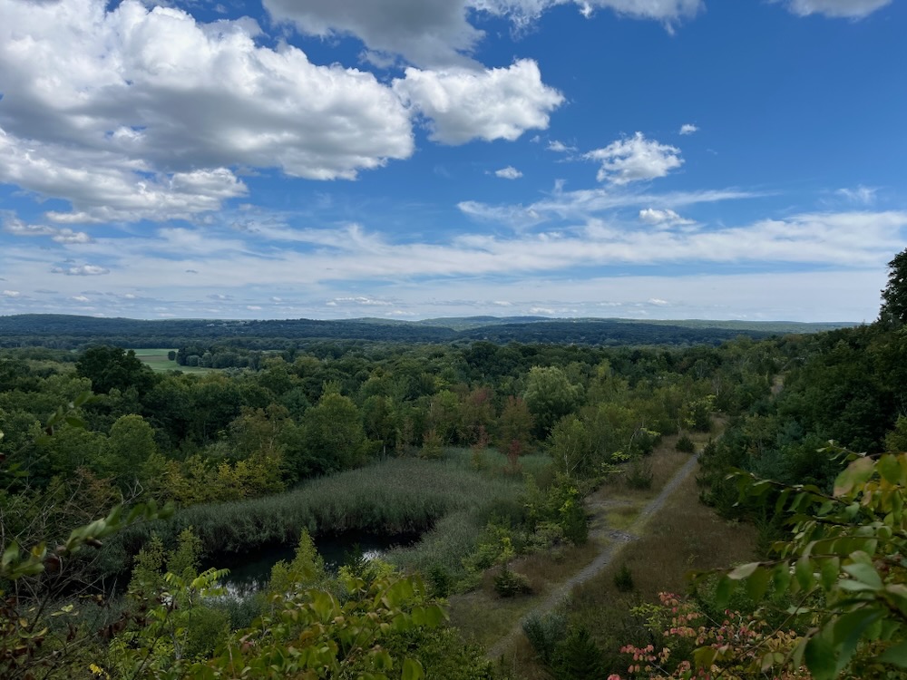
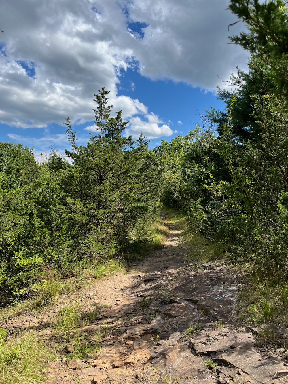
They took away a lot of the, um, rocky hill here. In fact, from 1925-1944 over a million and a half tons of traprock was sold from this quarry. A bunch of material from here was used to build the dykes around Hartford and East Hartford. Now we know.
The view north was good enough for the Army. There was an encampment built here at the start of WWII where soldiers maintained searchlights and listening devices to protect from possible air raids on Pratt & Whitney Aircraft or Colt’s Patent Firearm plants north of here.
The trail down from the lookout is surprisingly rugged and fun. It follows the edge of the quarry a bit before leveling off along the bottom. There are many side trails that veer off of the mail trail that afford various views of the quarry’s cliff face and ponds. Explore them as you wish.
I continued on the blue trail. All sorts or entities used to exist here. A gun club that shot into the quarry walls, the Rocky Hill Vault Company, the town’s public works garage, another military installation for enemy plane spotting, even a tavern. All of that stuff is gone now, and nature has more or less retaken this side of the park.
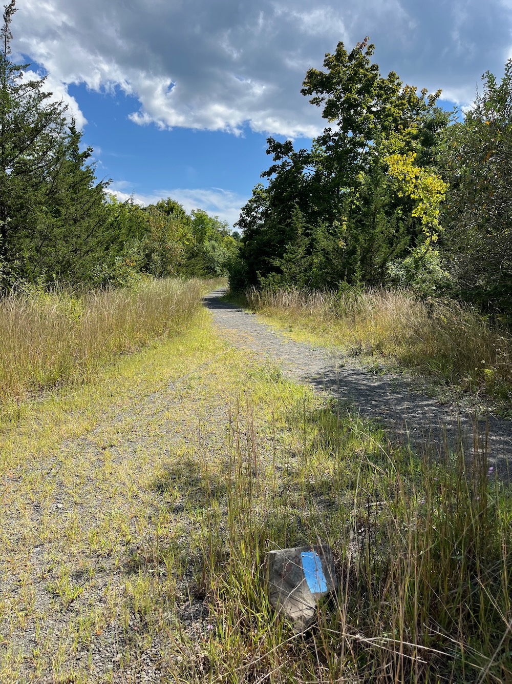
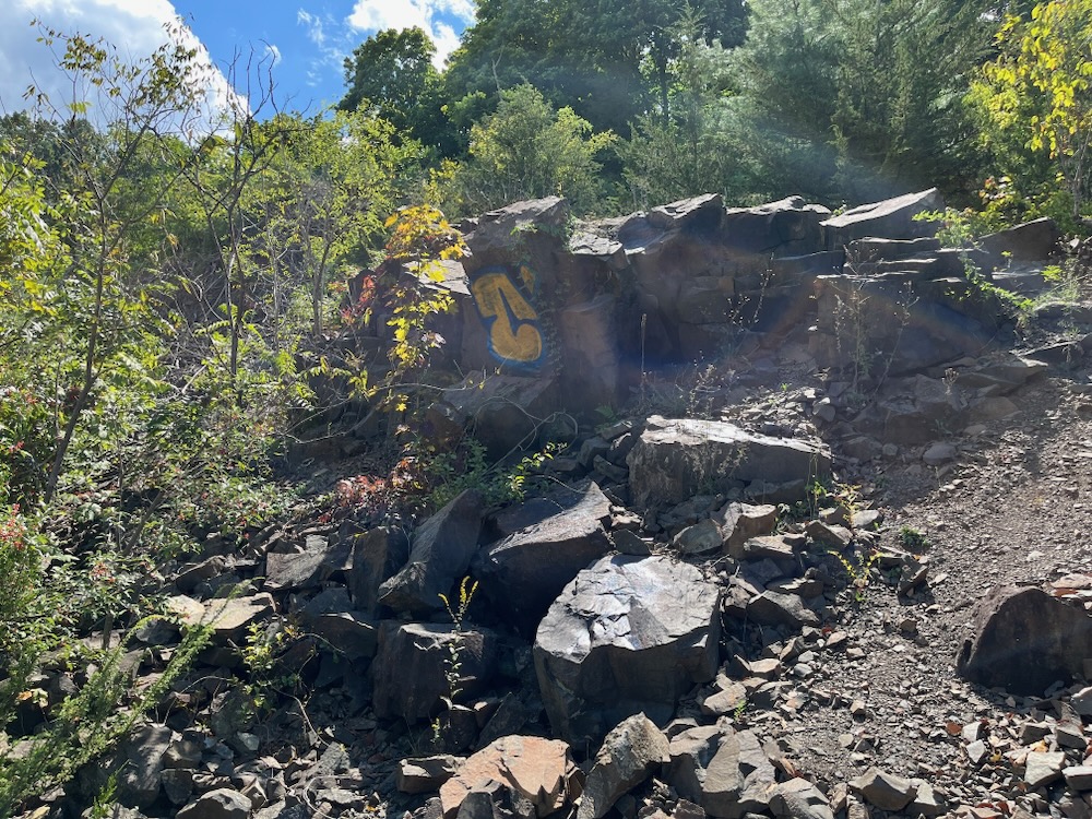
And once on the yellow trail, past all the unnatural piles of quarry detritus and around the far end of the property, nature has given up and a whole different thing has cropped up.
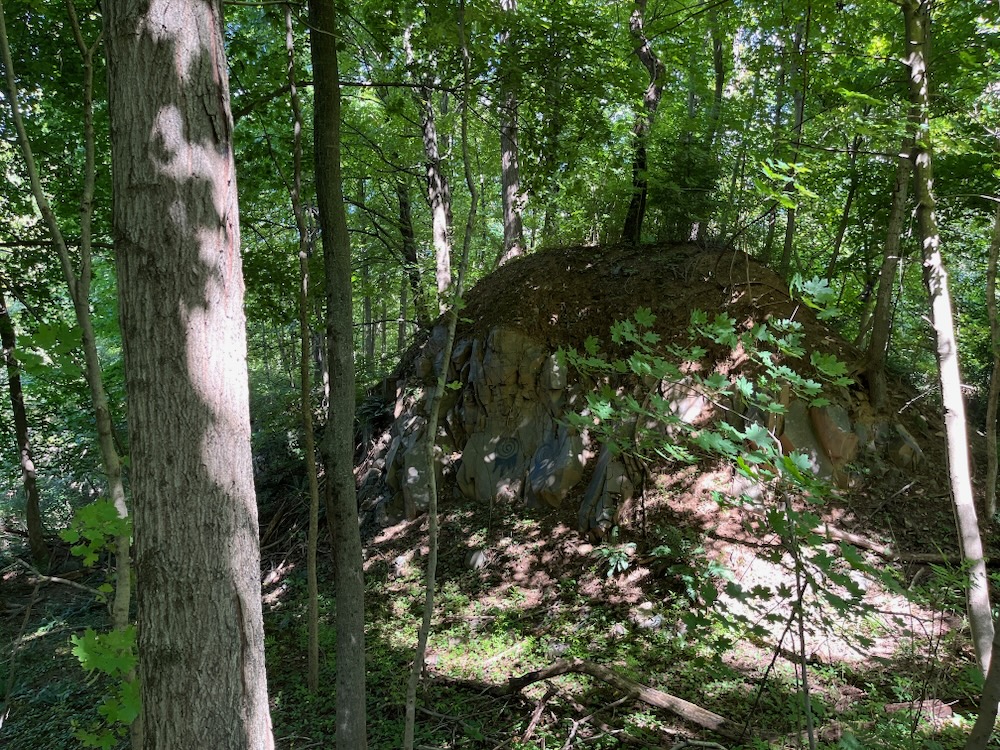
Back here are lots of ruins of the quarry operation. The compressor house, which powered the drills up on top of the hill (that one that’s no longer here) to mine the stone. Crusher buildings which housed exactly what they sound like they housed.
The rail line that took all the stone away is visible through the trees.
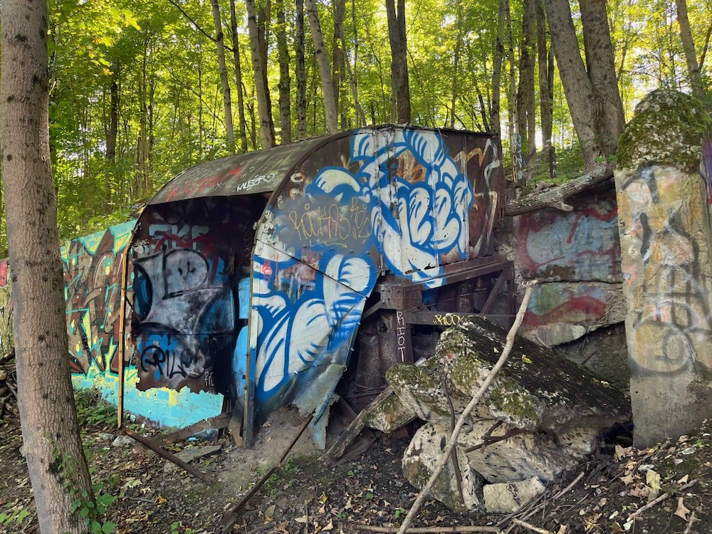
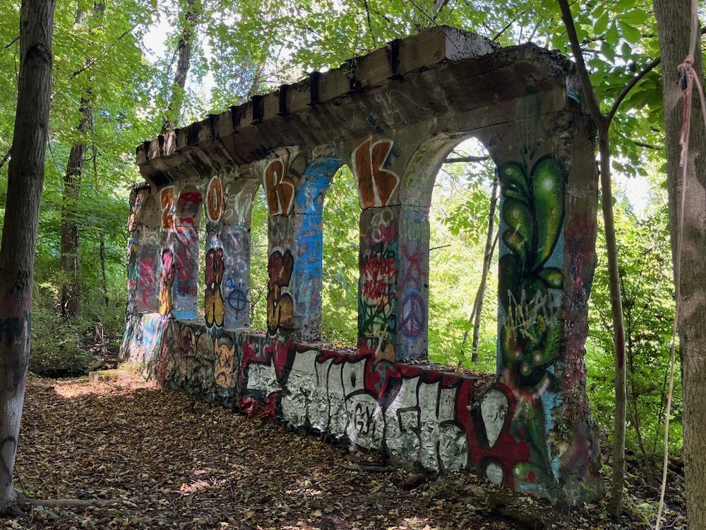
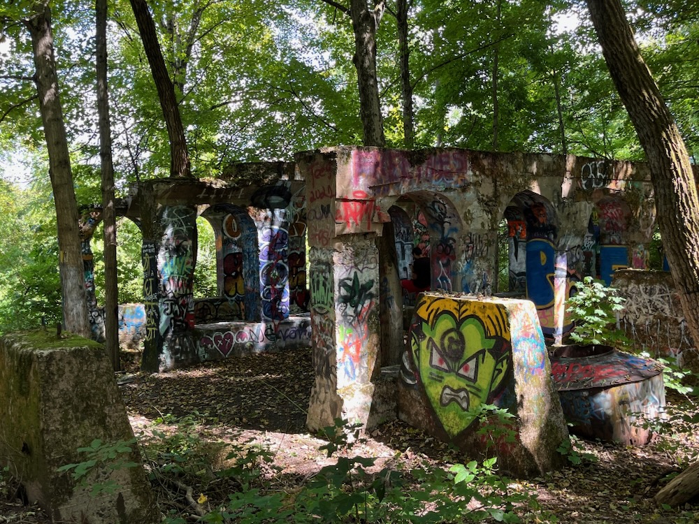
And now it’s an art park.
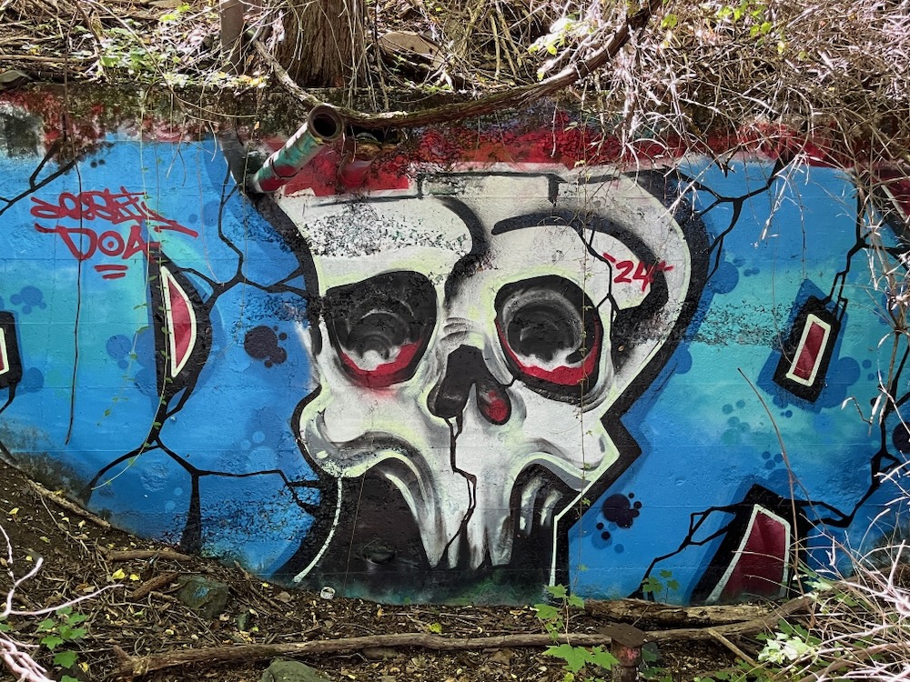
I don’t know how this came to be… but I’d guess the town and state just gave up trying to thwart graffiti here, and instead made it a thing. Brilliant, in a way.
Now called “Graffiti Arches,” this is now condoned. There are a couple little signs explaining the rules (“don’t paint on trees or rocks, pick up your trash”, etc.) and I’d guess just as many people come here to see this than to see the views a few hundred feet above.
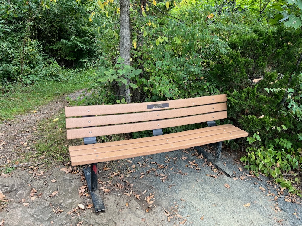
I’ll admit, I was as fascinated by the graffiti as anything else here. (Unfortunately, one of my favorite “pieces” is on a rockface… the Redrum at the top of this page.)
A large group of men were here, resting. They looked like they’d just run a marathon and were clearly not experienced hikers. No, they weren’t here to spray paint… it appeared they were perhaps fromm some sort of group home or halfway house and they were simply amazed at the art, their successful effort in getting here, and the joys of hiking they never knew. It was interesting eavesdropping on their conversation.
The graffiti covers several ruins here and the yellow trail does its best to take it all in. It’s just a very unique section of a trail in Connecticut; I can’t think of anything else quite like it in the state.
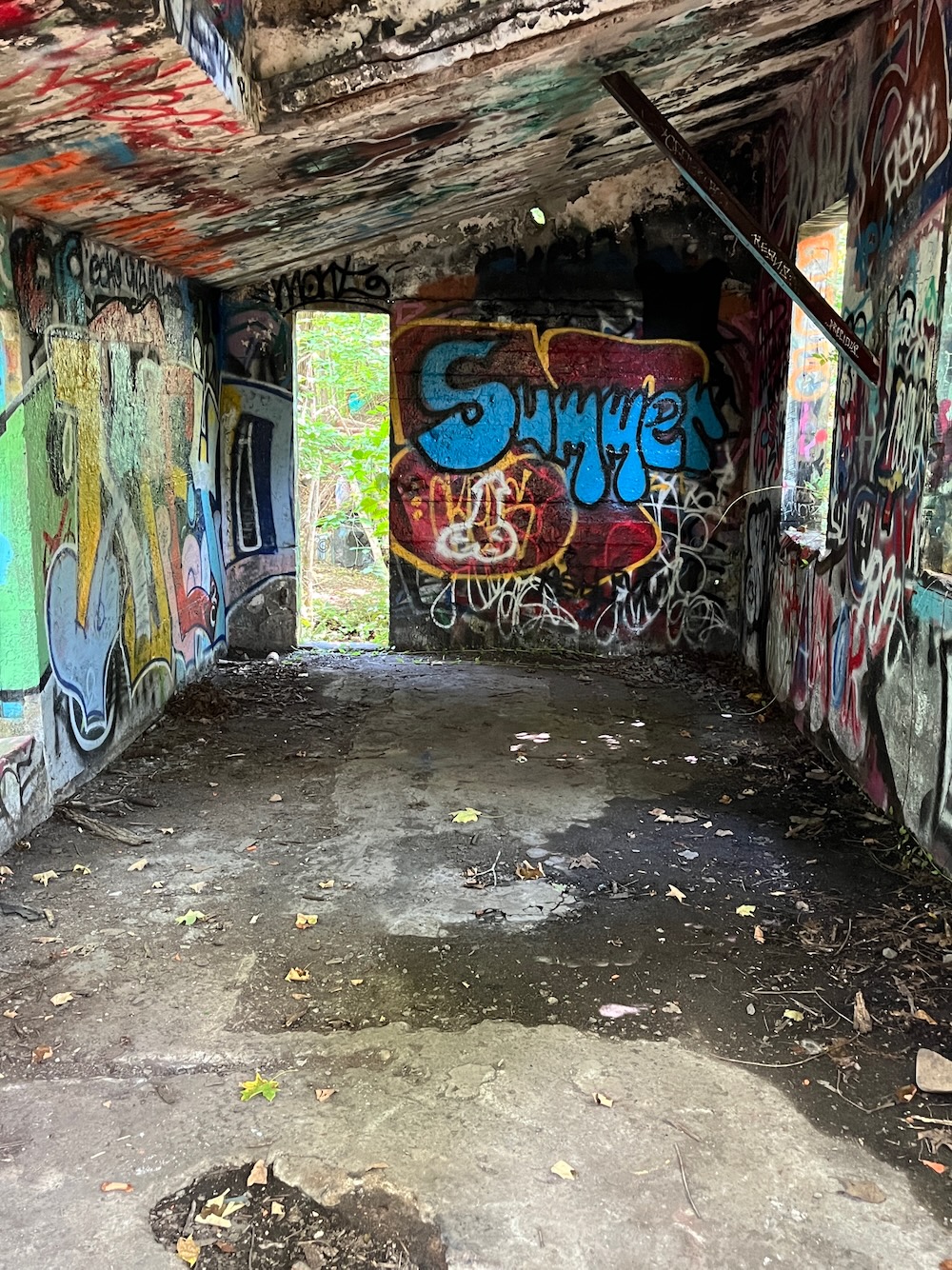
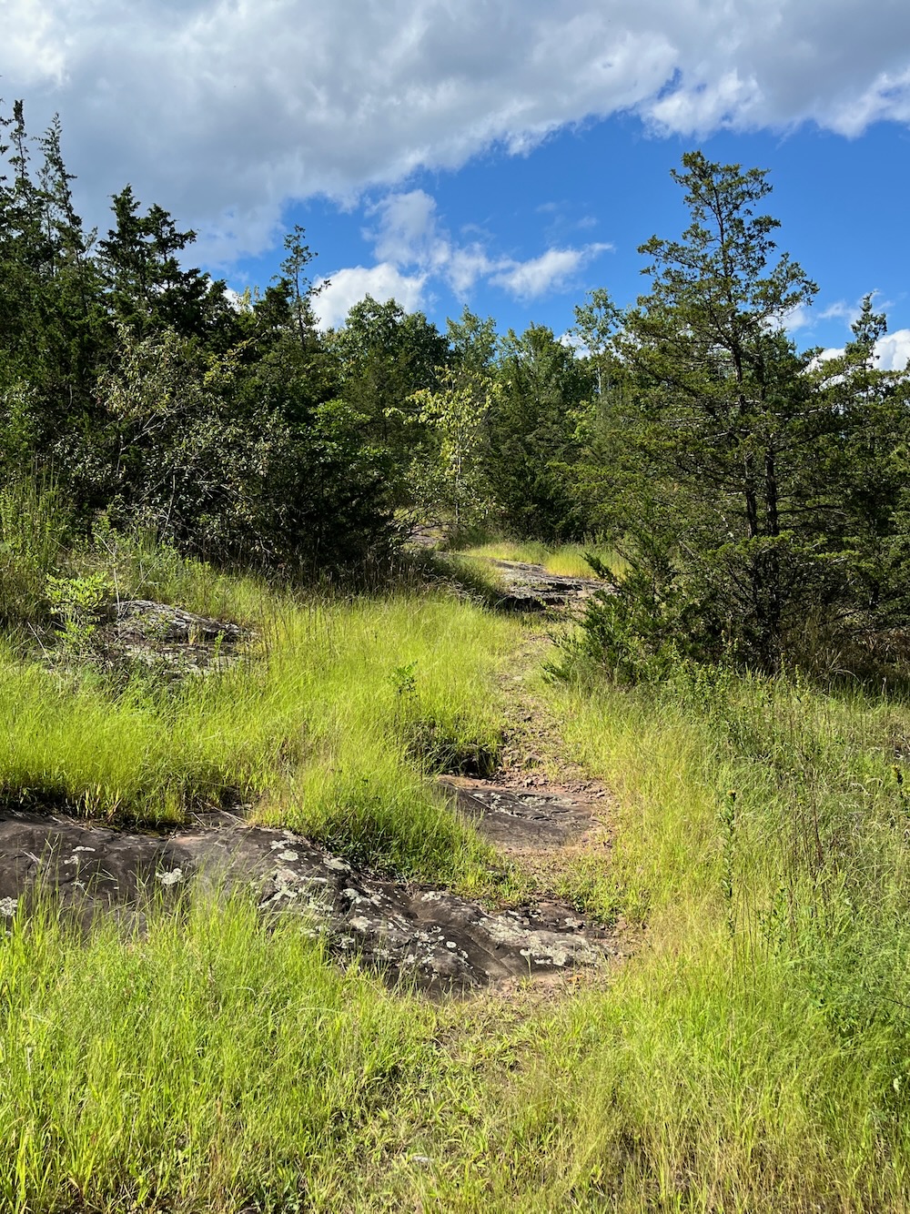
After the “Graffiti Arches,” the trail ascends through an open area of rock faces and grasses. Though fleeting, it again surprised me that it even exists here in the first place.
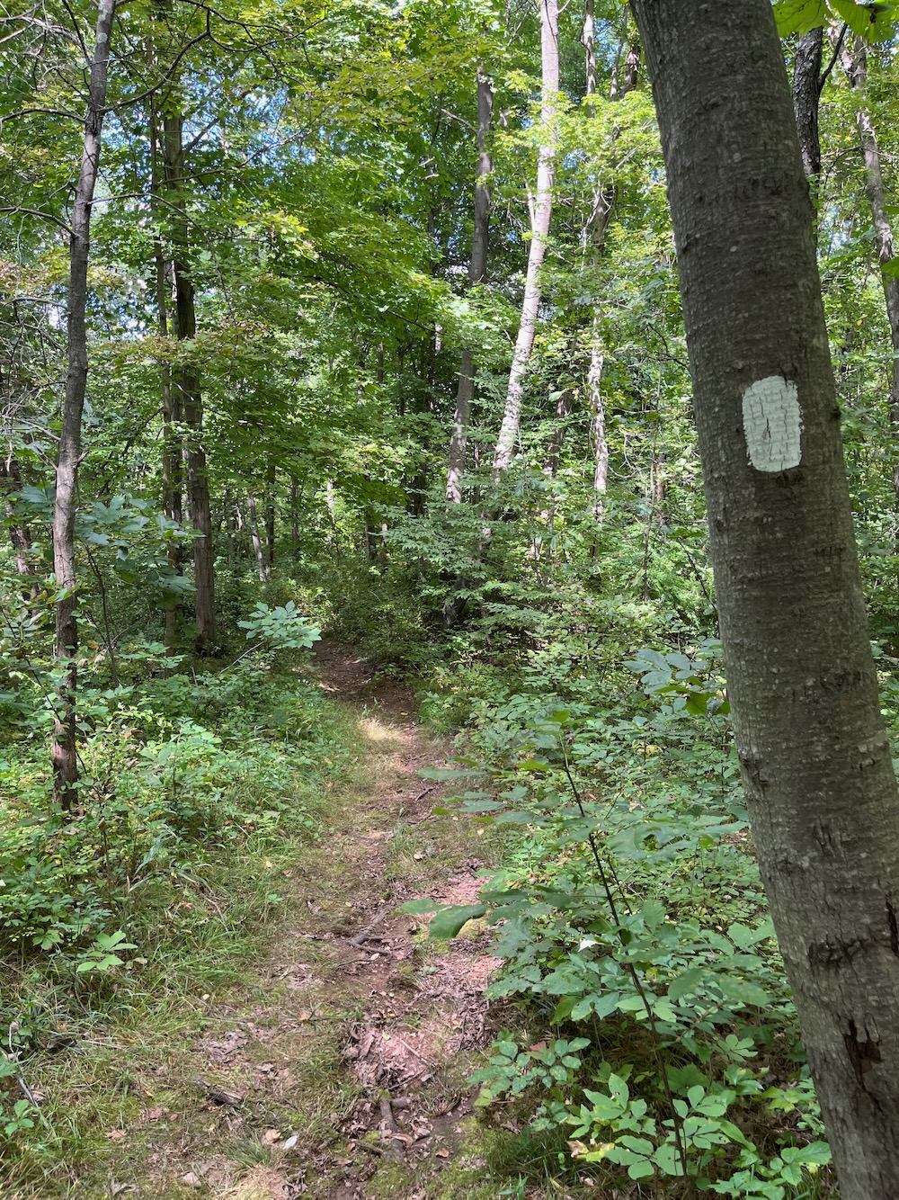
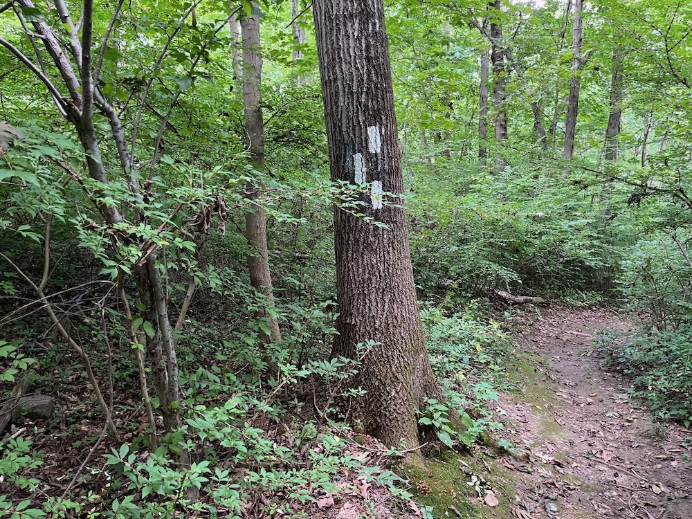
After that, the trails become quite confusing. The white trail is a mile-long loop through the lowland woods here. I’m here to tell you to skip that one, as there’s nothing of interest along the white trail at all. You’re better off getting back on blue and enjoying it all over again from the other direction.
Unless, of course, you’re connecting with the the Rocky Hill Meadows/Goff Brook area, as there is a connector trail to take you across the train tracks down to the pancake flat farm roads of that entirely different property.
It’s pretty crazy… how immensely different Quarry Park is from that area, literally right next to each other.
You see? Rocky Hill is more varied and interesting than you thought. And there is an actual rocky hill after all.
![]()
Quarry Park pdf
CTMQ’s Rocky Hill’s Town Trails

 Jamie says
October 31, 2024 at 9:33 amThis is an interesting place. As a peakbagger, you might be interested to know that according to AllTrails there is a spot called “Rocky Hill” along the ridge a bit south of the lookout point. I don’t know if it’s technically in the park or not. Given the name and the appealing notion that I had been to the summit of Rocky Hill in Rocky Hill, I bushwhacked along the quarry top to what I think is the correct spot. Not the easiest thing to do and falling off the ridge down into the quarry would have been the last thing I’d ever have done. This summit point, which AllTrails says is 157 feet above sea level, is not in Peakbagger, though one can see it on the topo map. Vexingly, the high point in the town of Rocky Hill, Vexation Hill, is not attainable. There are water towers there surrounded on all sides by a fence. Peakbagger lists a “Rocky Hill” out in the wilds of Harwinton. It is just over 1000 feet in elevation and has no recorded successes. Probably on private property, I’m guessing.