Risleying Above
Risley Pond/Box Mountain Trails, Vernon/Bolton
February 2009
As this is a very old page, you can expect a different hike today, whenever today is. Matt at Explore Connecticut enjoyed his time here more than I did. Since my original hike, I’ve reached these trails from the east, which is an entirely different hike and the herd paths really open up the area to more adventurous hikers, which I touch on at bottom.
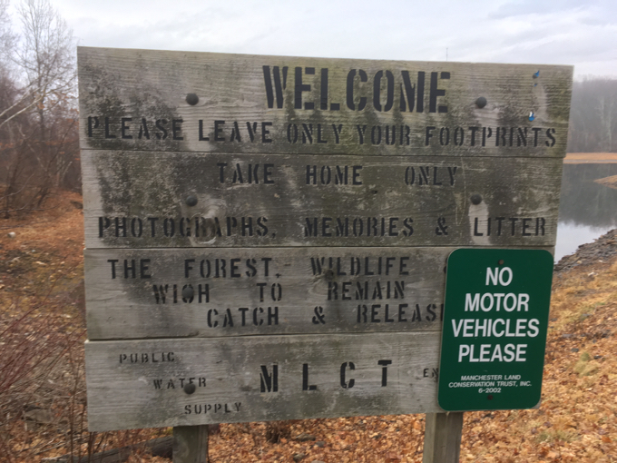
This is a Manchester Land Conservation Trust property… for the most part.
![]()
President’s Day. And guess what? We need a new mattress. Our bed is a rather excellent modern platform bed from some overpriced modern furniture store and we love it. However, the futon mattress – which is a very good futon mattress as far as futon mattresses go – is beat down. Our bodies have molded deep recesses into it and now a prominent ridgeline separates the two of us at night. Which I hate.
So what better day to buy a mattress than on President’s Day? I was actually going to listen to the all the mattress sale ads and hit some stores in the Manchester mattress store area.
Or so I told Hoang. Ha. Who wants to go mattress shopping? What does that even entail? I drove out to Manchester and instead decided to quickly hike a short loop trail around Risley Pond. The trail, officially part of the regional network of the Shenipsit Trail which is a little confusing since it’s also a Manchester Land Conservation Trust property. (Typically, the land trust owns the land and maintains the trails.)
The land was donated in 1983 by Gladys R. Hall and Dorothy R. Miller in memory of their father, John S. Risley. The pond is a secondary source of water for the Manchester Water Company if you were wondering.
That pretty much ends the interesting part of this report, for the Risley Pond Loop is rather unexciting. It’s also not 2.6 miles as all the documentation states – there’s just no way. I was in jeans and a sweatshirt with no water and only a bowl of Corn Flakes in my belly; not to mention the trail was icy and dicey over large portions of it – and I somehow completed the loop, with two short detours, in 40 minutes. I’d peg it at just under 2 miles.
Granted, it’s 30% flat, 15% climb, and 55% downhill (going counter-clockwise), but still… I wasn’t exactly running over all that ice and snow. In my jeans.
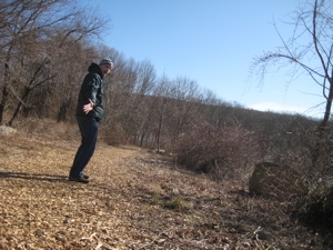
I’m not sure what to write about here. The trail starts off pleasantly with a nice graded and woodchip covered wide path down towards the lake, crosses an old log bridge and then passes wholly unremarkable terrain for a while. Then it climbs up Box Mountain:
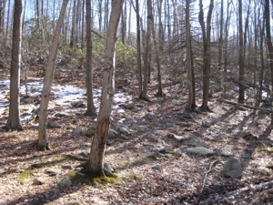
The daunting ascent
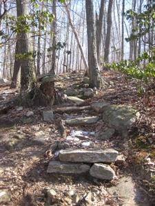
There are even stairs
Near the summit, the trail swings south away from the 850 foot summit – but I wanted to check it out so I bushwhacked for a couple minutes to a clearing on top. A very tall radio tower stands on the site, apparently owned by an outfit called Marcus Communications which has a very shoddy web presence.
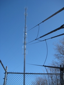
Oooh.
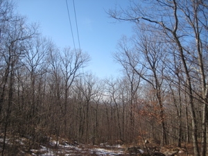
There were no views on top
I got back to the trail and walked down the ridge, such as it was.
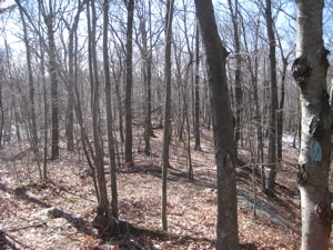
The ridge, such as it is
I heard a kerfuffle in the woods and saw several deer running away from me. Moments later, another kerfuffle and a large dog was bounding through the woods at breakneck speed. Great. Nothing better than being eaten alive by wild dogs in Vernon – actually, I had crossed over into Bolton… even better.
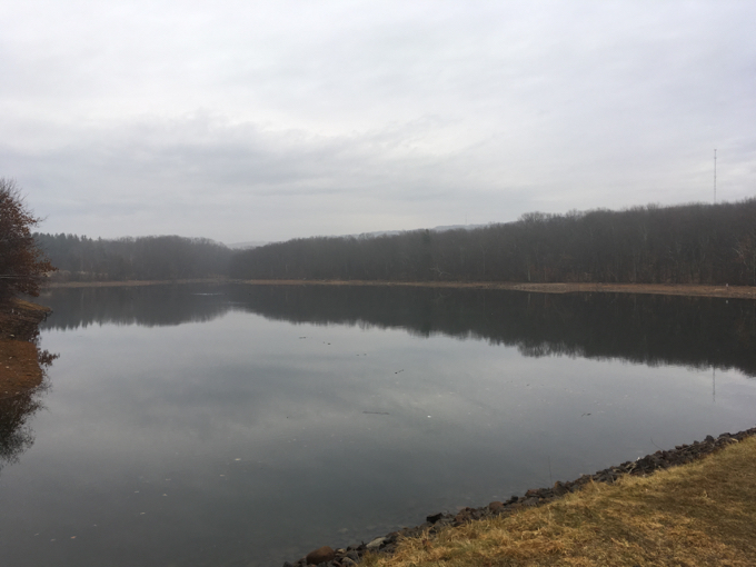
The big pictures are from a quick visit in 2017.
I slowly walked onward with an ear to the ground, but the dog, who turned and came up the hill towards me, never seemed to notice me and disappeared. Crisis averted.
I had a nice long gradual descent ahead of me, which I would have quickly run if not for all the ice patches. Oh well, I could admire the winter woods I guess. Oh look! A stone wall. And some other stuff.
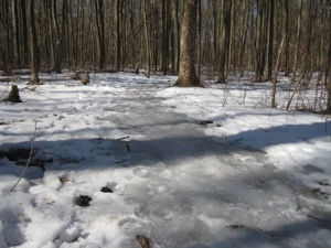
A patch of ice to navigate.
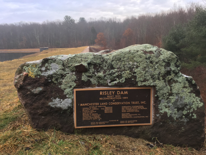
I hit flatland and soon I was back to the pond. I headed off the trail for a moment to see the dam.
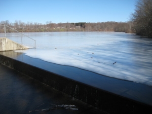
Dam.
After that, the trail follows closely to the shoreline and crosses many little streams feeding the pond. I’d imagine this is a miserable stretch to walk after everything thaws and a few days of rain. So I was happy to crunch along on top of the frozen mud and pools.
At one point I stopped to take a picture to show the fun I was having:
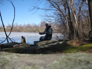
And noticed that it appears ice fishermen had been out on the pond this winter, as I could see a bunch of drilled holes.
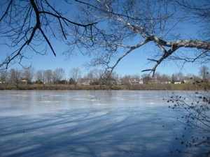
Ice fishing evidence
Soon I was back at the log bridge and walking back up to the parking lot – a rather large parking lot by the way. I passed a family of 5 where the mom was carrying an infant in a backpack carrier. Um, good luck with that. There were several lengthy sections where I had to steady myself on the ice by holding trees. I don’t think I’d have subjected my infant to that, but they appeared to be a tough lot.
I hopped in the car and yes, went mattress shopping. Really and truly I did. (To no avail.) On the bright side, I picked up lunch for Hoang and myself and it was delicious.
2020 Update
Since my original 2009 hike described above, I wound up exploring Box Mountain from the eastern side. In the intervening years, several trails have been cleared from the Risley loop, over the mountain, and down to Freja Park, Bolton Notch State Park, and Valley Falls Park in Vernon. All Trails has it mapped, the original Risley Loop in red:
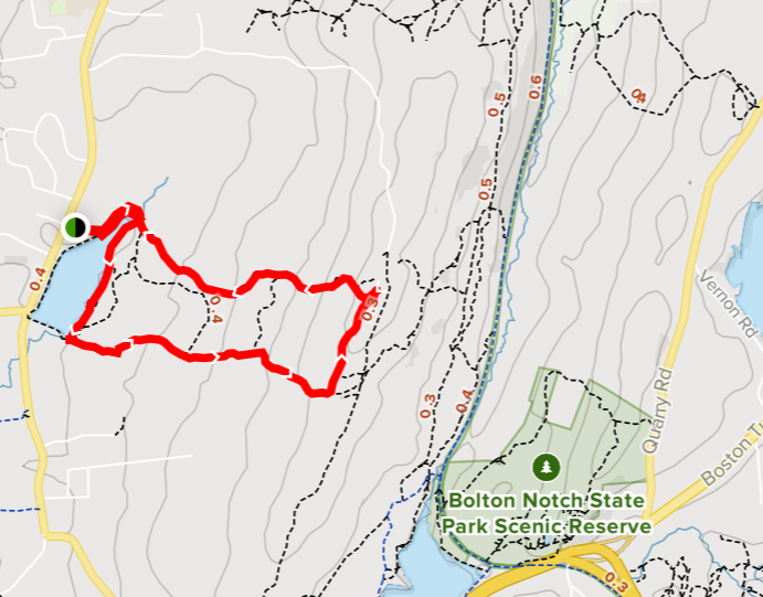
I poked around almost all those unofficial trails, and they are quite nice actually. And again, they can be accessed from any of the above mentioned parks. The best trail in this sort of “in-between-land,” is the one that heads north on the cliff above the Hop River State Park linear trail. (The one that says 0.3, 0.5, 0.5.)
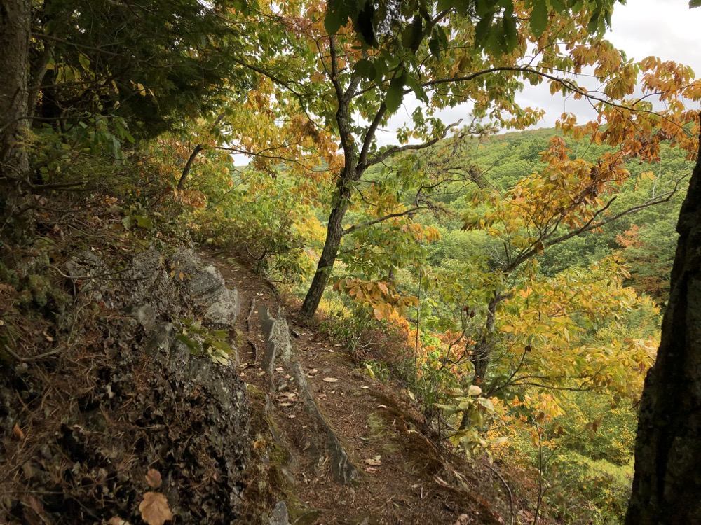
It’s really fun and interesting and even involves a bit of derring-do. These connector trails offer up a multitude of ways to spend longer in the woods of Vernon and Bolton, and to connect the cool stuff at the various parks.
And by the way, the proper Shenipsit Trail courses through Bolton and Vernon over and down the other side of Box Mountain, which you can read about here.
![]()
CFPA’s Trail Maps
Manchester Land Conservation Trust
CTMQ’s Shenipsit Trail Intro
CTMQ’s Manchester Land Conservation Trust Trails

 Steph says
July 16, 2009 at 7:21 amHello,
Thank you for your sense of humor in writing this. I appreciate it. It was very light.
I was actually looking for info. regarding Kayaking and where to put in.
I guess we will just have to go to the parking lot and find out.
: 0 )
~ Steph
 Alan says
October 4, 2009 at 8:44 amReply to Steph,
Pretty sure the resevoir status puts this out of the reach of kayakers.
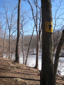
The sign even forbids swimming dogs.
Enjoy the trail.
-Alan
 Dan says
October 11, 2021 at 1:56 amDid this 2 days ago. Was pretty nice with the start of fall leaf colors. Most people seemed to stay by the pond as I had the hike almost entirely to myself. I saw the tower but didn’t feel up to exploring those interconnected paths due to the high grass and concern of ticks. Lools worthwhile though from what you mentioned so perhaps on a return visit after lasting frost removes the tick concern.
 Dan says
June 25, 2022 at 7:53 pmToday I finally went all the way to the end of the Rambling Ridge Open Space area. It was there and no one else seemed to report on it that I could find anywhere online so I had to see it. I’m not convinced it’s worth it. For me it was an 8.7 mile hike (nearly double what I typically do). The Rambling Ridge are the part where I’d you go along that on top of the mountain trail you mentioned liking and keep going past that last 0.5 miles marker and on the left (is that West?) one arrives at the Rambling Ridge Open Space with no sign to announce it or anything formal. It’s fine but rhe ridges don’t really offer any good views (save one near a quarry?) The rest sort of ead end into people’s back yards or driveways. Some of what AllTrails shows as trails are very definitely NOT maintained and impassable. Other parts are between pretty obviously a trail and passable but wouldn’t recognize it’s a trail if AT didn’t tell me I was at one. Some had an end completely unrecognizable as a trail start/end with its respective other start/end more obvious. There’s definitely some sloppy to non-existent blazing going on. Blue and red blazes occasionally appear, but not enough to easily follow and some appear to be the same trail. confusing.
Anyway for those who are curious it’s there it’s OK I’d you’re there check out the AT trail app where there’s a camera icon for a vantage point for an OK view. Box Mtn seems to be closed nearest the open space (signs say so) hence taking a much longer than desired path in. Didn’t see trail parking at any trail ends it was really peoples backyard or driveways so maybe somewhere further on one of those streets.
https://mapcarta.com/W43438855