Amityville Horror
Amity Road to Dillon Road, Woodbridge
January 2021
All Regional Water Authority (RWA) properties require a purchased permit to access. And please obey all posted trail closure signs.
I have enjoyed my South Central Connecticut Regional Water Authority Trails. The maps are excellent, the trails are clear and clean, and the peaceful waterside ambles have been far more beautiful than I’d anticipated. But this blue/yellow blazed trail, taken as an independent trail on its own, is… a very odd addition to the RWA pantheon of trails.
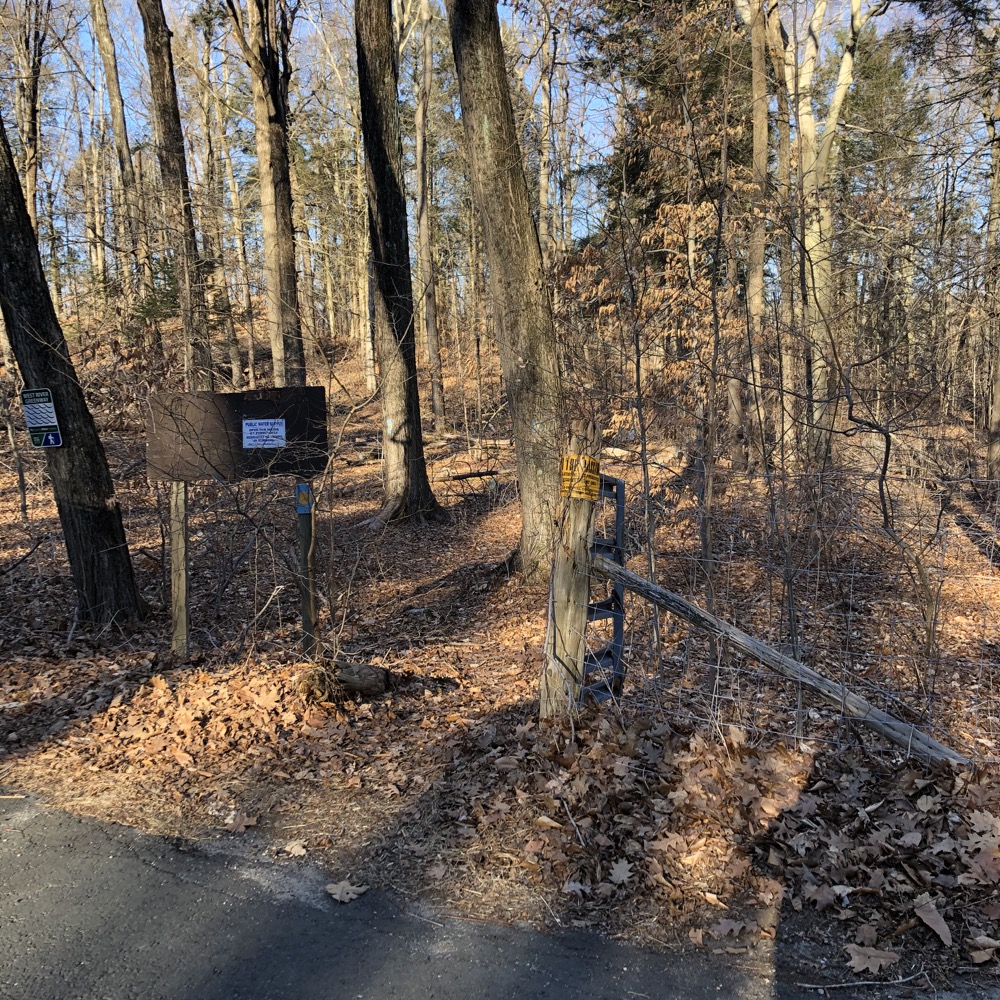
Dillon Road trailhead (no parking)
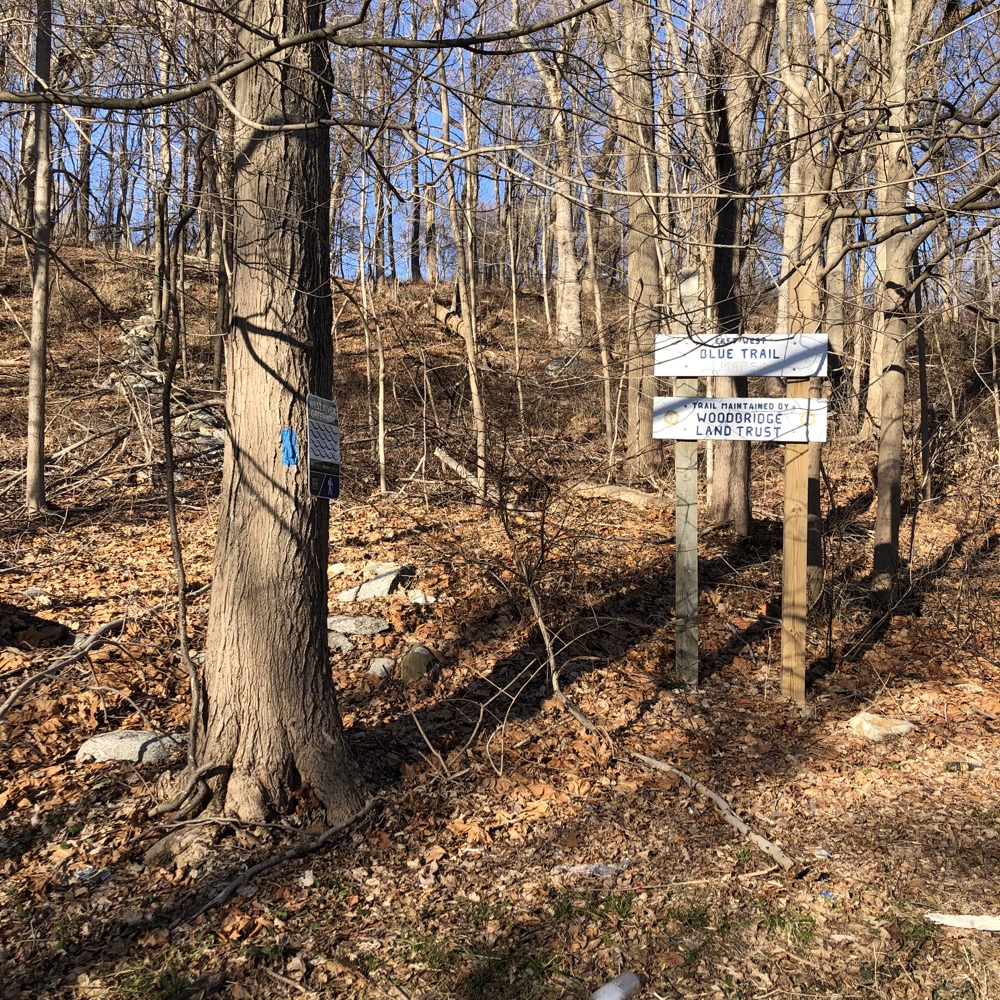
Amity Road trailhead to Round Hill (no parking)
It is, essentially, a connector trail. It is an important link in the Woodbridge Greenway Trail system – a system which I’ve yet to figure out in late 2021. This trail connects to many cool places and trail systems: to the west, across Amity Road (Route 63) There’s the Bladen’s Brook, Russell Swamp, & Round Hill Trails to the west (Woodbridge Land Trust and town properties), Lake Chamberlain to the north (RWA property), Sperry Park and falls to the east (town property), and Bishop West Trails to the south (town and land trust).
Most of those listed properties allow for much longer and cooler hikes, and south ultimately connects to West Rock Ridge State Park (home of the CFPA’s Regicides Trail) in Hamden and New Haven and you can also continue walking west and north across Route 63 as well.
Yup.
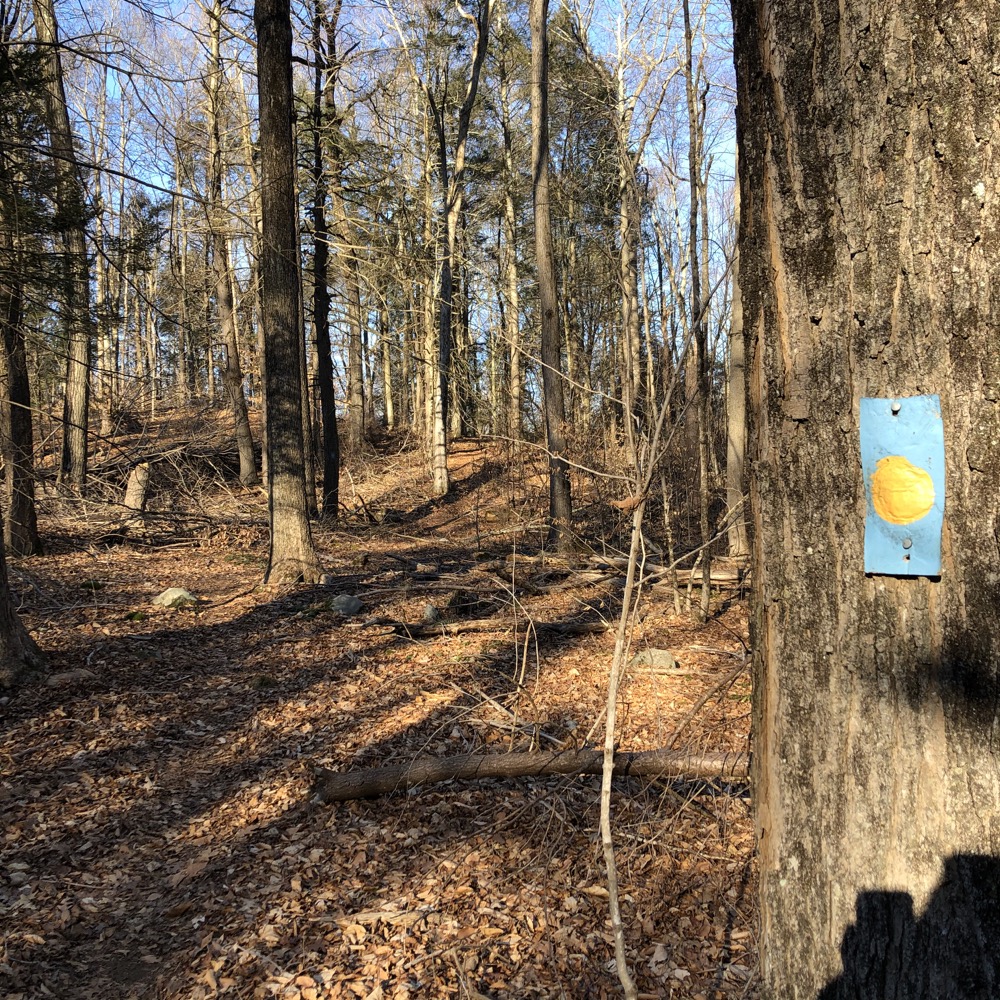
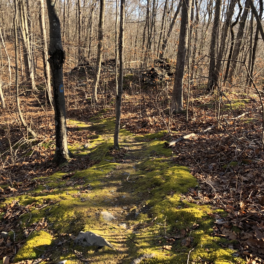
I didn’t hike this trail from Amity Road to Dillon Road. The Horror. (I came down from Lake Chamberlain and Sperry Park then picked up the southern swing later from Sperry Road if you must know.) I think the story here is that the RWA’s policy of charging for access passes is probably a bit wayward for this particular trail. People are allowed to go to Sperry Park without an RWA pass. People are allowed to hike at both Round Hill and Bishop West without RWA passes. But the trail that connects all these, half of which is on a dirt road, is officially inaccessible to 99.9% of the Connecticut residents.
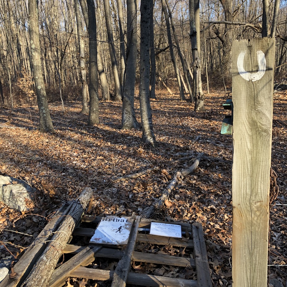
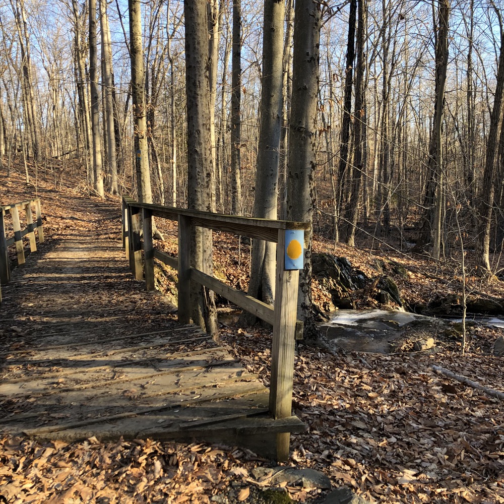
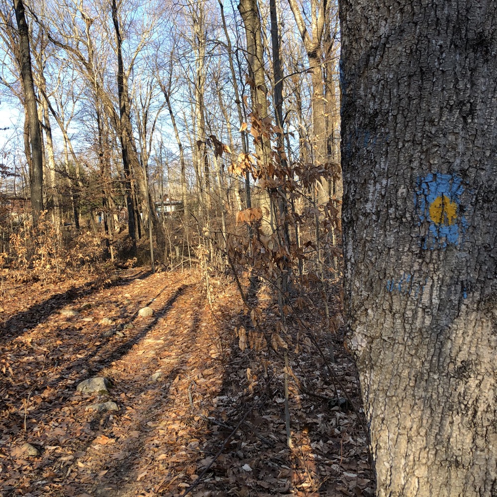
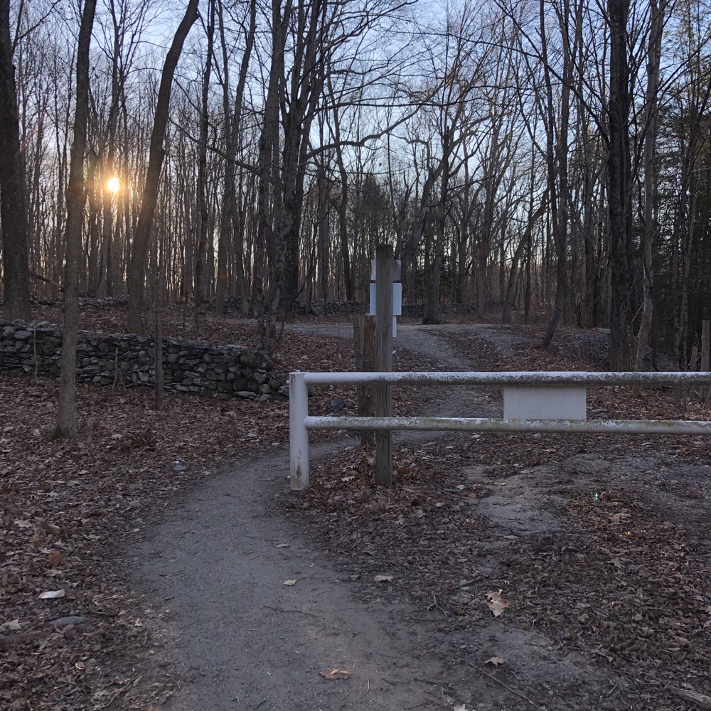
No, there’s no checkpoint in the middle of the woods and if you’re aim is to simply scurry across the not-even-two-mile long trail, you’ll survive unscathed. I’d guess that 99.9% of people – and people on horseback – that use this trail are not “legally” allowed to do so. I’m pleased to report that I was! But really, of all the great RWA properties and parcels, this is not one to worry about. The trail from Sperry Road to Dillon Road is mildly interesting, but there’s not even a decent view of Glen Lake.
That’s all I’ve got. This page, like the trail itself, serves far more as a “connector” than as anything else more meaningful. At least this page is free.
![]()

Leave a Reply