Mad Killing It, Yo
Lake Hammonasset, Madison & Killingworth
January 2021
All Regional Water Authority (RWA) properties require a purchased permit to access.
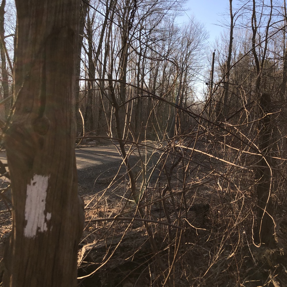
As with many of these Regional Water Authority properties, there’s a white-blazed forest road that circumnavigates a reservoir. Which is perhaps the most boring way I can describe what I’ve found to be quite beautiful and rewarding properties to hike. I remember grumbling years ago about having to pay for an RWA permit… I’m not grumbling anymore.
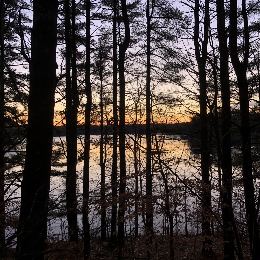
I accessed Lake Hammonasset from the Madison Land Conservation Trust’s Summer Hill Trail. There are RWA lots down on route 80 (Old Toll Road) but I didn’t want to deal with the RWA’s combination lock in the pre-dawn darkness and chill. I raced through Summer Hill and began making my way around the 9+ miles of Lake Hammo in a clockwise direction just as the orange sun began to rise over the water to my right.
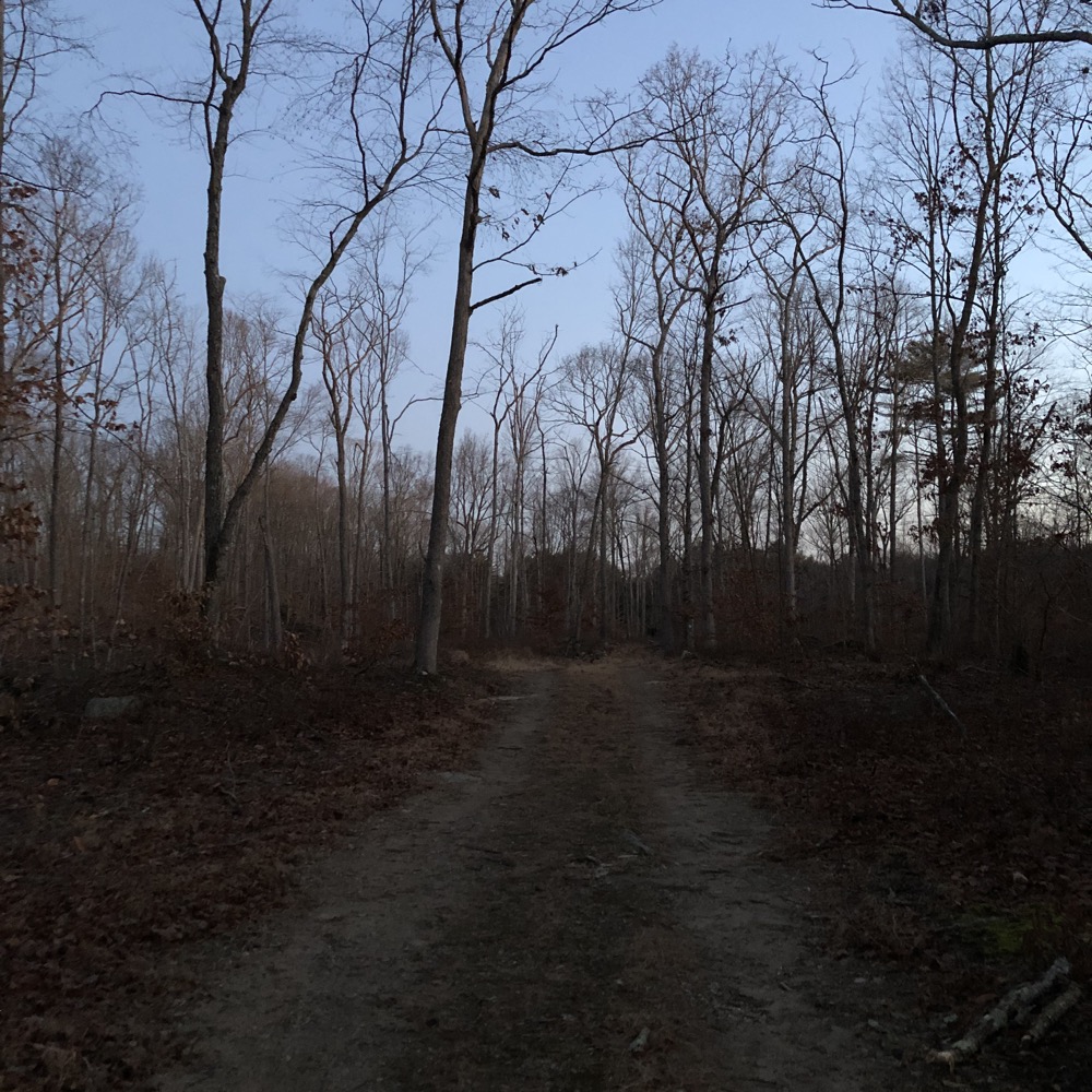
It was lovely. It was why I hike at times no one else does. It’s what y’all are missing on those Sunday mornings in bed. (It’s also why my wife thinks I’m an idiot.)
There are some opportunities to head through the stands of white pine towards the water to get slightly better than usual photos like this:
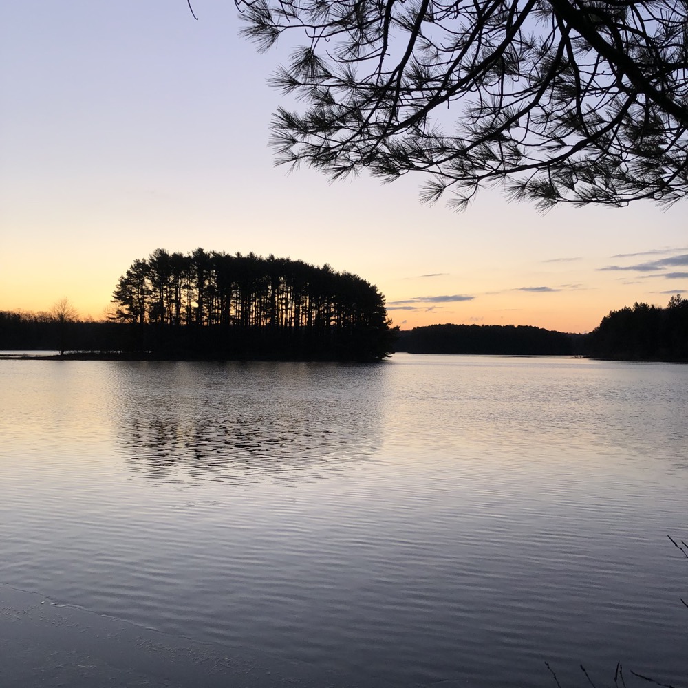
Continuing along the wide road – I promised to call these RWA roads “trails” like they do in their descriptions, sorry – along the wide trail and was somewhat surprised by the hills here. Nothing too taxing, but I previously thought that Madison was generally flat, being the coastal beach town it is.
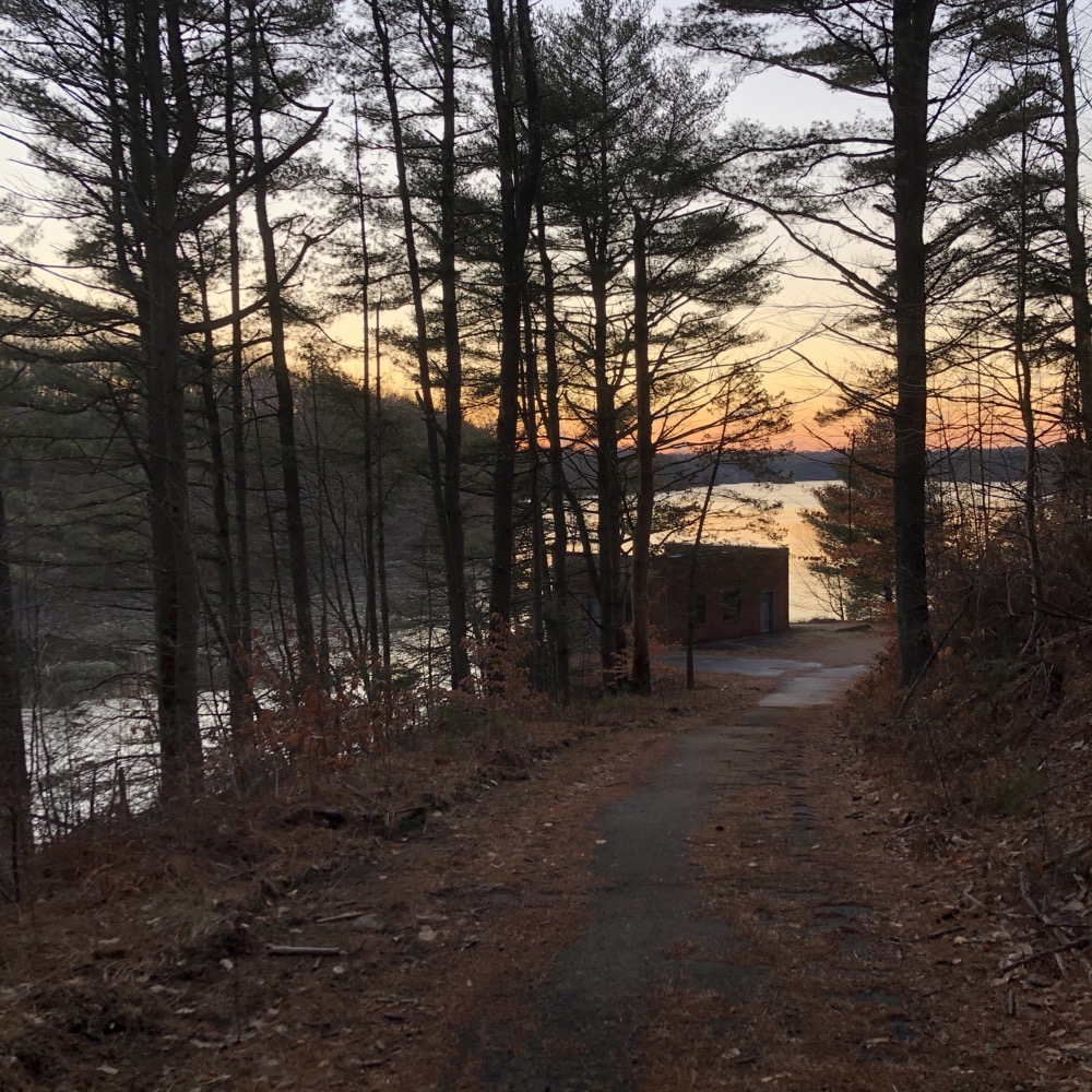
The northern end of the reservoir forces the trail to wind around some inlets and hills a bit before passing an access road to some sort of water regulation facility. I wasted some energy to head down the hill to check it out, but hey, I got a sunrise photo of a nondescript brick building next to a reservoir in Madison:
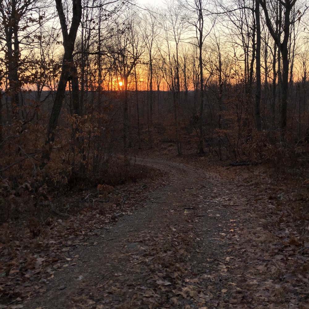
Lake Hammonasset was opened as a recreational area in 1990 and as with all RWA properties, it is clean and well-cared for. I guess that’s what happens when access is so greatly limited by the permitting system.
There are a bunch of shortcut trails at the northern end of the property. I kept missing the yellow-blazed trails, but that may have been because there seemed to be some active logging here and that makes finding smaller trails sometimes difficult. It didn’t matter, as I just kept to the wide white trail and eventually veered onto the yellow trail.
And I very highly recommend you do the same. If you hike this property, don’t just do the white loop and call it a day. The yellow trail is called “Indian Cave Trail,” and it’s completely different from everything else here.
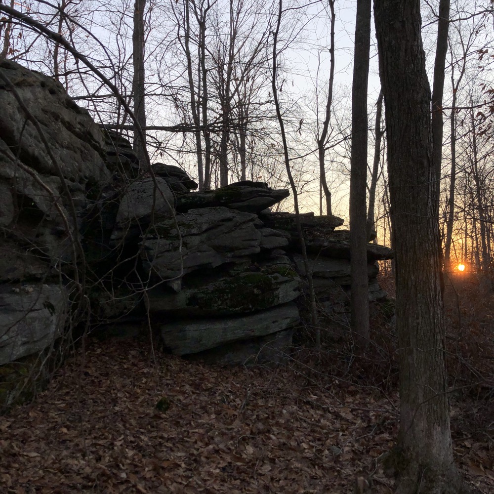
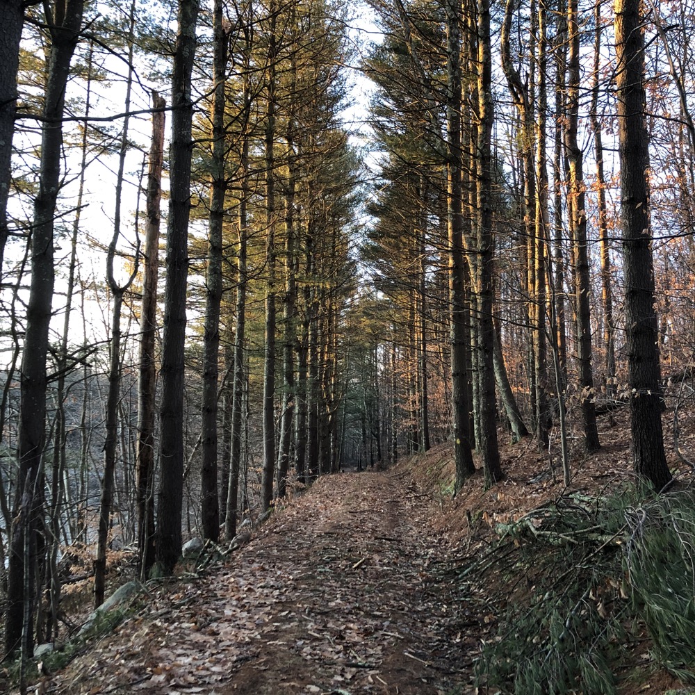
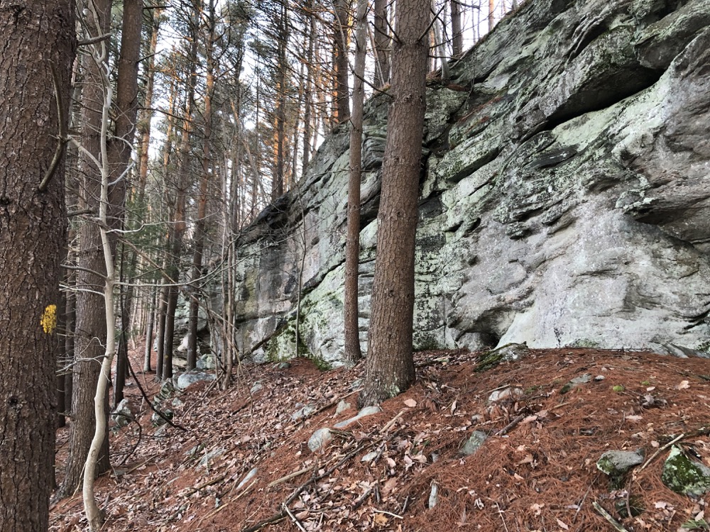
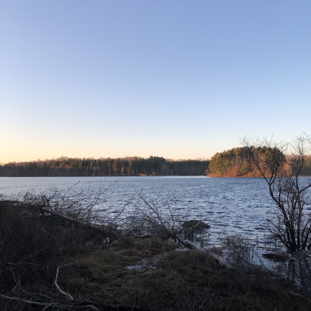
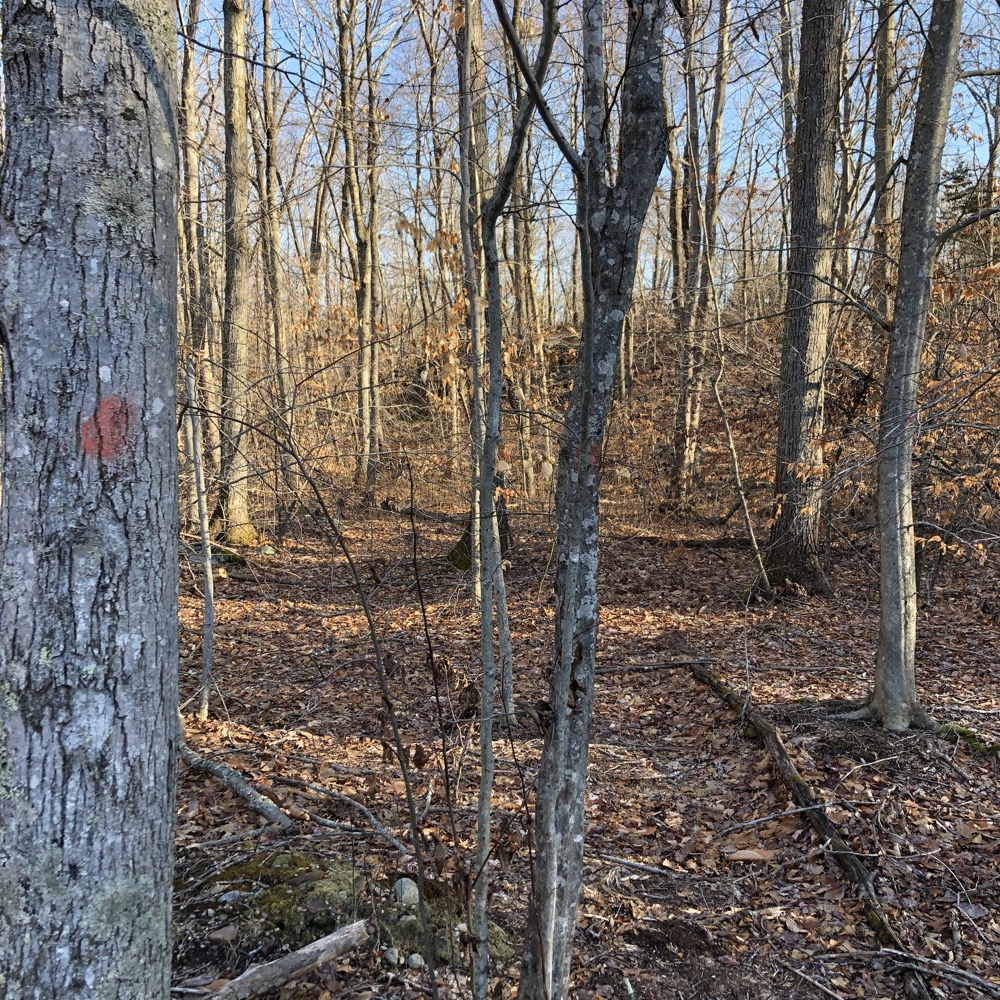
It took me through some unique rock features before I wound up on the red “Peninsula trail” which took me on a long, straight path through mature pine next to an inlet. The red trail loops around a long finger that juts into the reservoir (hence, “peninsula.” I know.) before returning to the Indian Cave Trail.
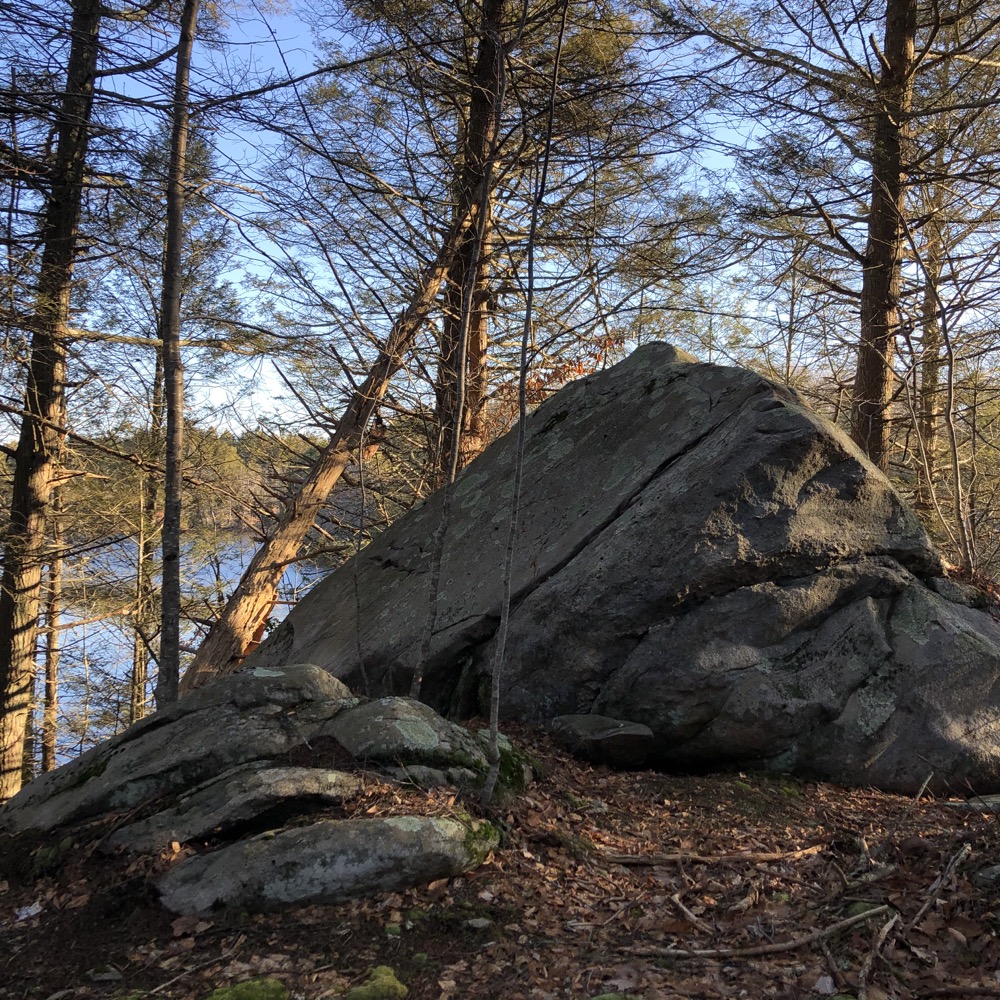
I wasn’t expecting much despite the cool-sounding trail name. So I was rather shocked to find myself below 30-foot walls of rock overlooking the water. I love how visitor’s can’t “just come here” from some easy access parking lot. Indian Cave visitors must work at little bit for this.
(Yes, I know, there are always “other” places to park and enter.)
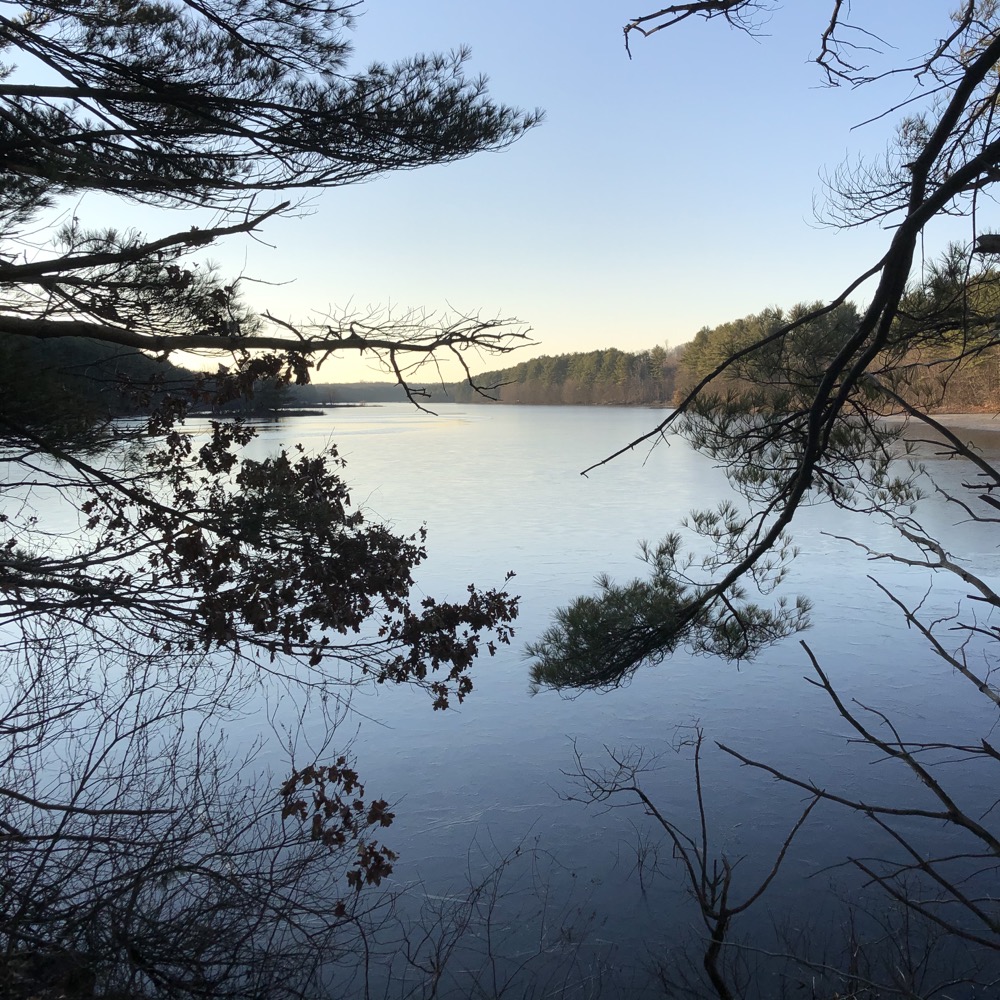
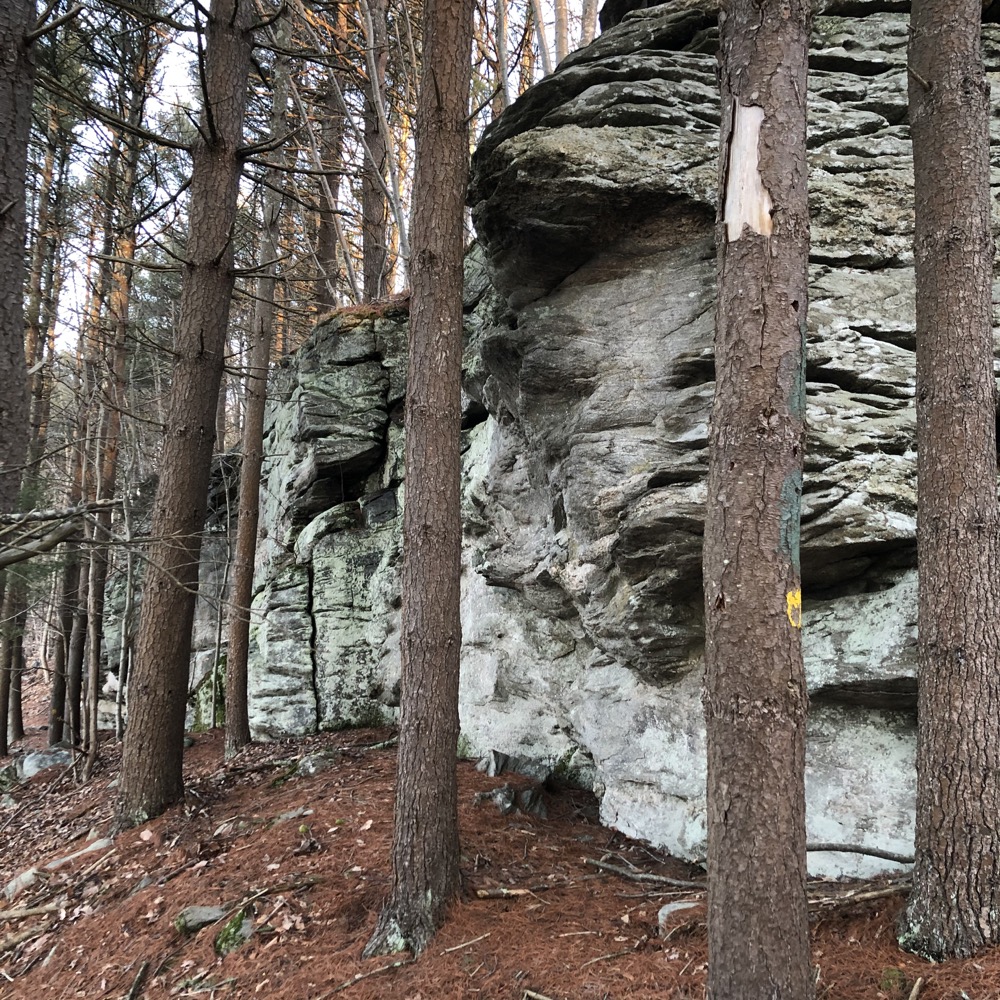
I loved this section of Hammonasset Lake. It’s transporting… it felt like a place from a James Fenimore Cooper novel – in a region full of places that are actually from James Fenimore Cooper novels.
I didn’t dawdle too long and made my way back up to the main white trail and made my way round the northern reaches of the water. I was impressed by how well marked and cleared parts of the trail were, since it had clearly been affected by either logging or tornadic activity. There’s a rather large and fancy bridge here that seemingly came from nowhere as well.
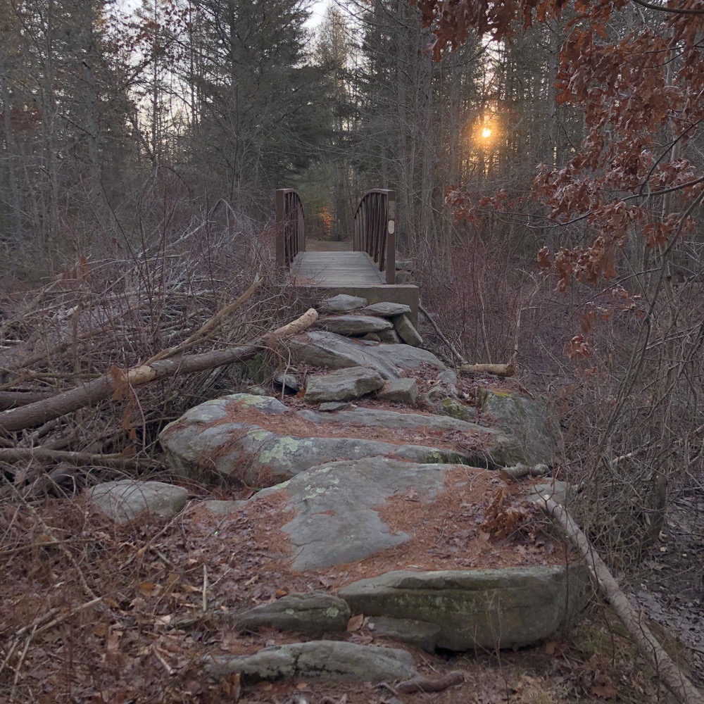
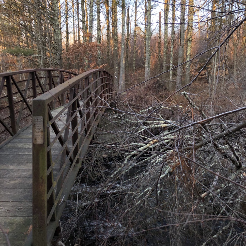
From that point, I began my trek south down the far side of the reservoir. I think I was resigned to several miles of simply walking through the woods without too many memorable sights. You’d think I’d have known better by this point. The entirety of the white trail on the eastern side of the reservoir is a footpath, not a woods road. This was an unexpected surprise.
Massive pine stands, more water views, and the trail left the wide road at points to meander through old stone walls and other interesting features. At one point, I think to avoid seasonally wet areas, the trail was cleared out to North Chestnut Hill Road in Killingworth (a road with plenty of those “lazy” access trails if you’re so inclined).
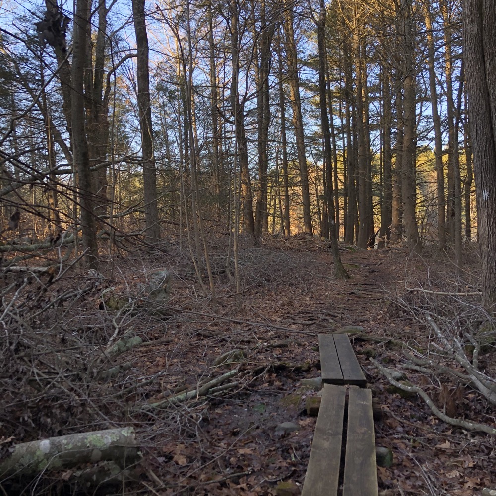
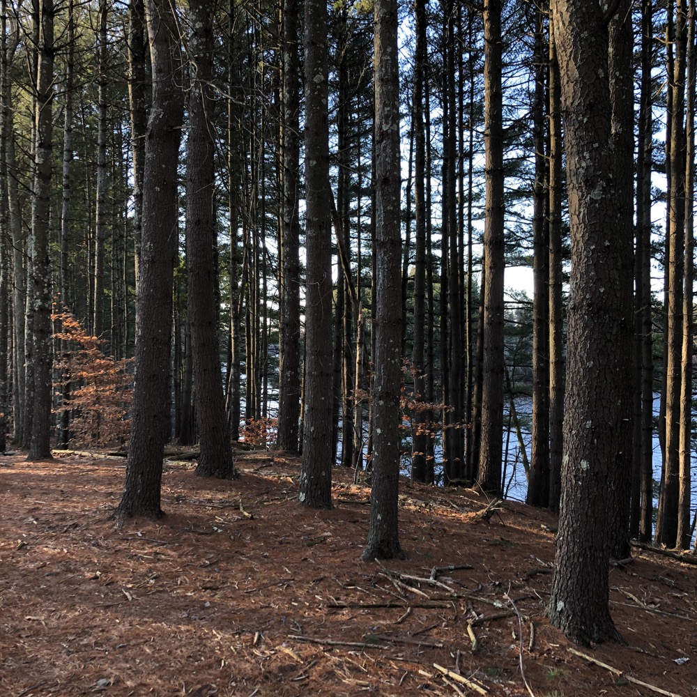
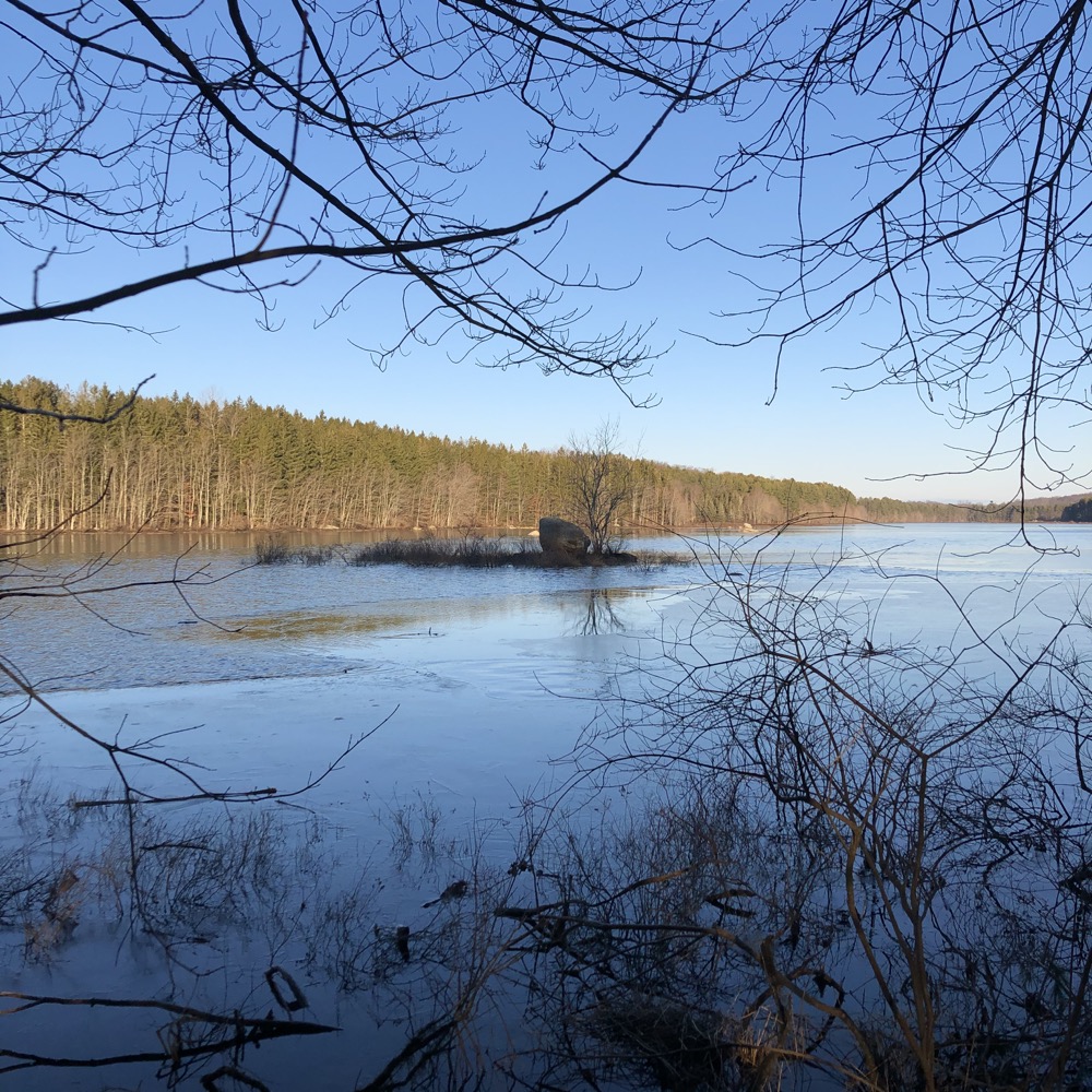
More pine, some hemlock, and a view of a little islet out in the reservoir with a massive boulder and tree. Granted, this isn’t a nature water feature so that little island isn’t an actual natural island that’s been there for millennia, but it’s still pretty cool in its own way.
Little boardwalks and bridges took me over marshy areas as I neared the route 80 southern end of the property and one of the official RWA parking lots. The trail suddenly got rough and I found myself side-hilling and climbing above the fairly busy road below. A green trail went off to the right, back up towards the reservoir, so I followed it.
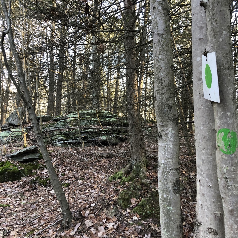
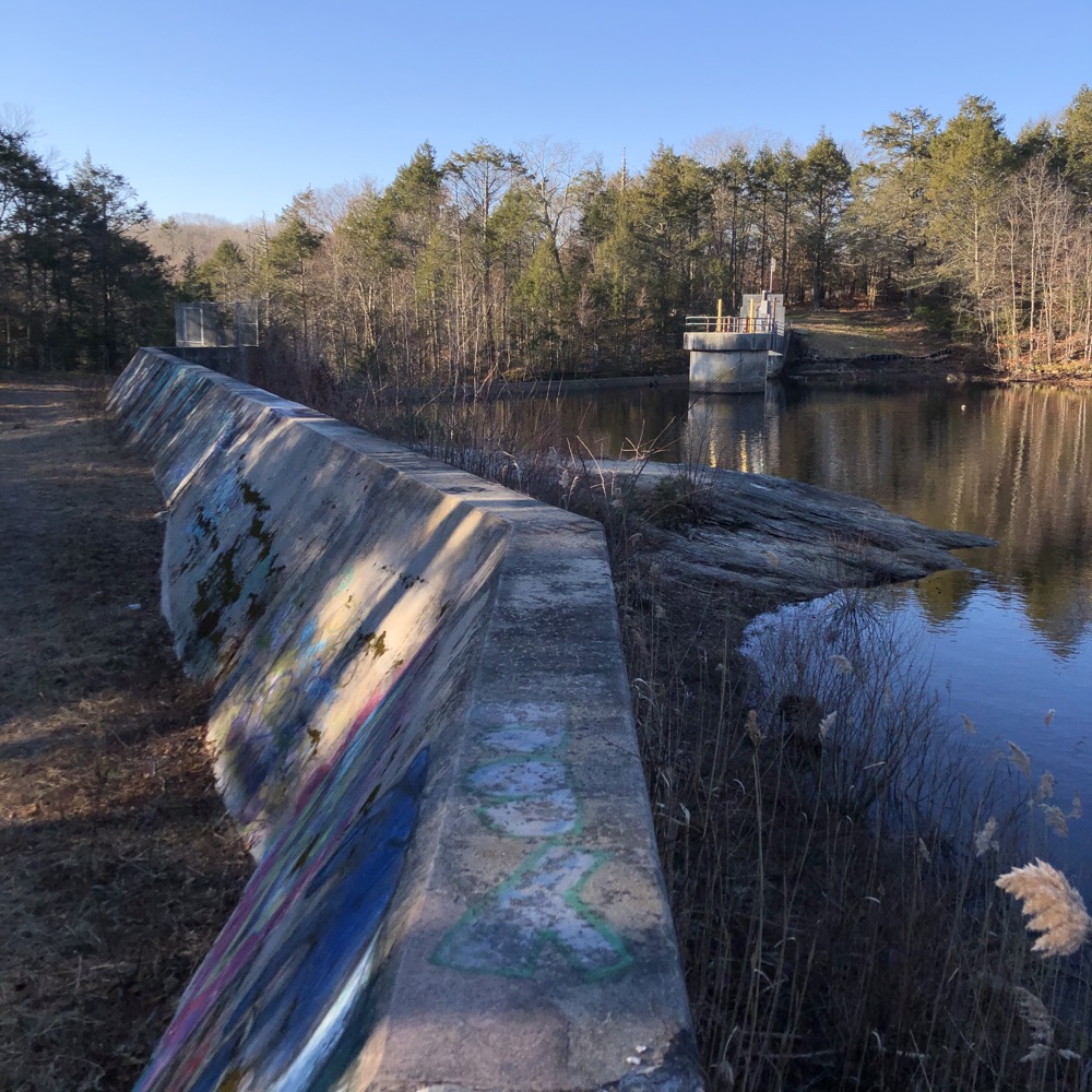
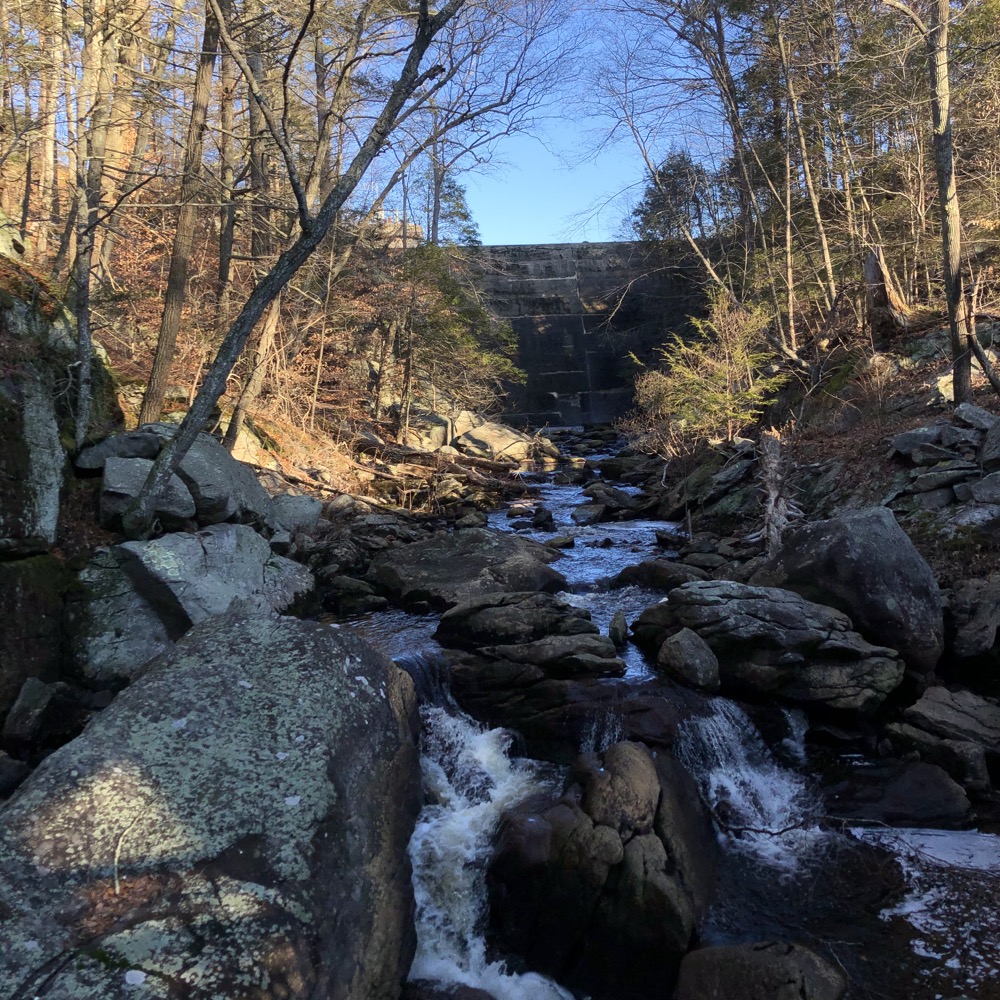
I had done no reading about this place before visiting, so I was quite surprised to come upon a massive dam after emerging from a rare healthy hemlock grove. Of course there would be a dam here – that wasn’t the surprise. But after walking along it for a while, I was shocked to be above a rather deep gorge where the Hammonasset River continues south towards the Long Island Sound.
This is certainly the most accessed part of the property. It’s just off of route 80 for one thing, and it’s beautiful for another. (Graffiti be darned.) High above the rocky chasm, the trail, and several “trails,” are quite dangerous. I picked my way down the river back to the white trail, across some small bridges and then… woah!
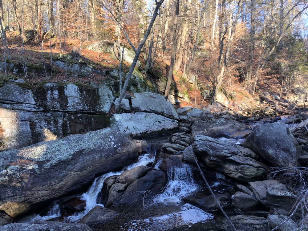
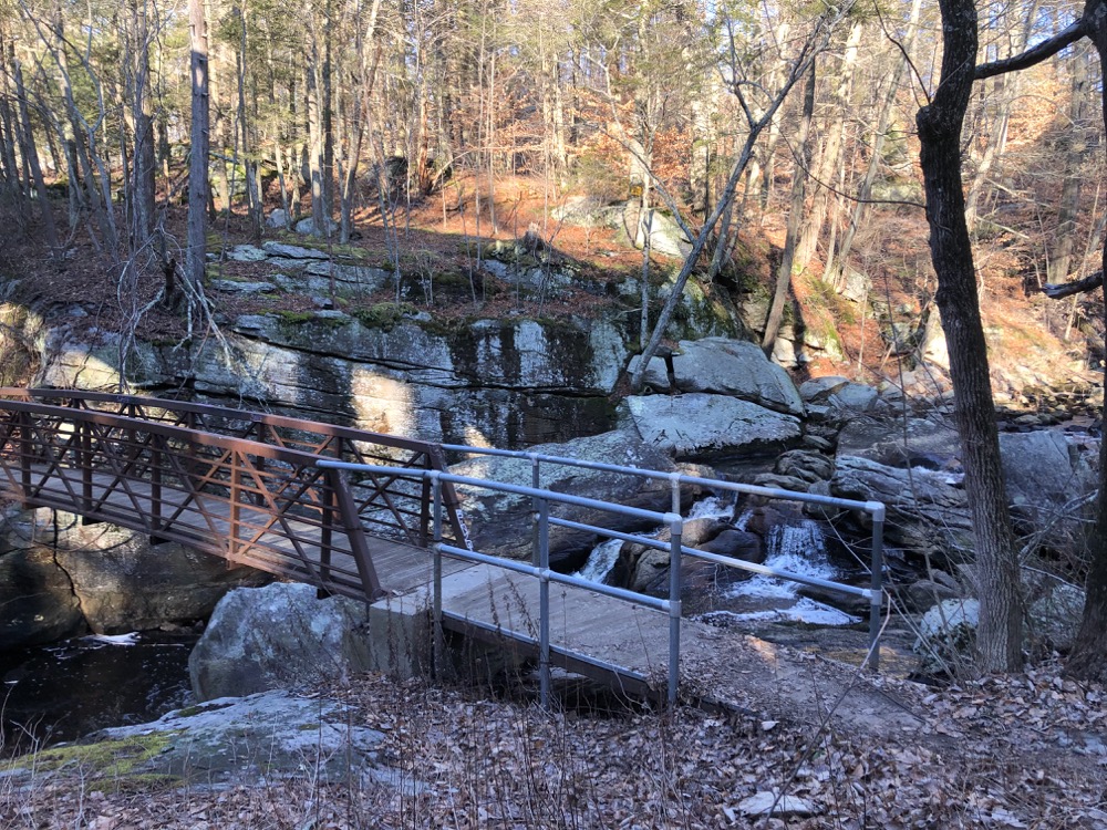
Another handsome bridge crosses the river below the huge spans of the route 80 bridge above. The view upriver takes in what is called Ninevah Falls, which I’ve written about separately. Again, the graffiti mars what is most certainly a beautiful little spot “hidden in plain sight.”
Again, not knowing these falls and scenes were here, I was happily surprised. I hadn’t seen another person all day and it felt like I had discovered something no one knows about. Of course that’s ridiculous, as I imagine RWA authorities are constantly yelling at people here all summer long. Madison’s Land Conservation Trust has a trail that connects to here south of route 80 as well.
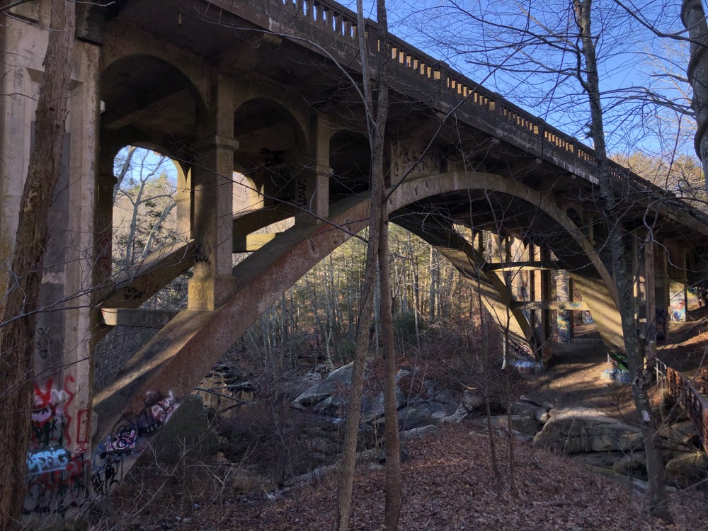
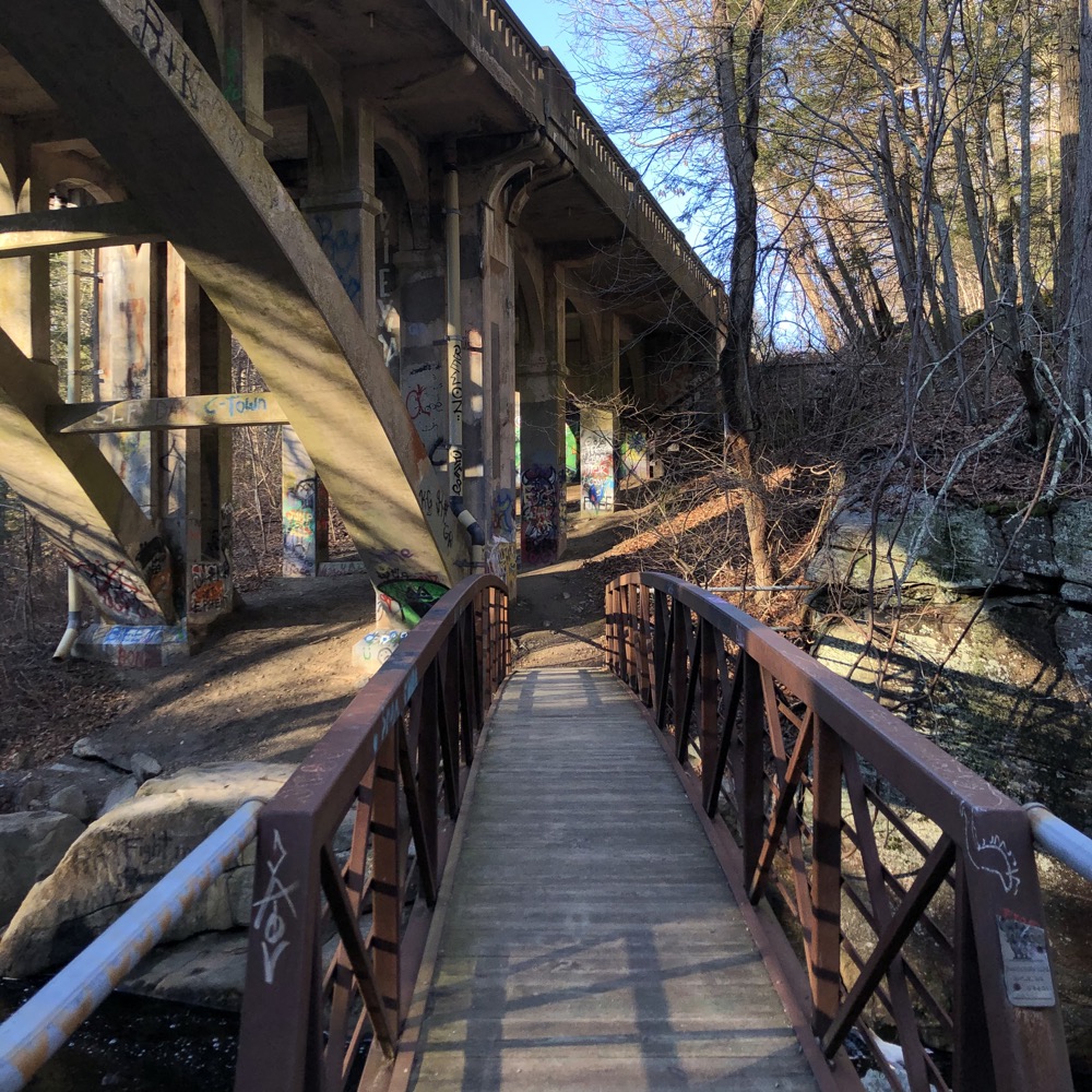
I’m sure you can poke around here without an RWA permit, as I assume 99% of the people who do don’t have one. But I’m not the one who told you to do it.
After a short rest and reflection, I continued towards the end of my hike up some stairs and back along the white-blazed trail, now heading north. An orange trail loops around another peninsula of sorts and it’s a nice little trail, but by this point I was all Hammanassetted out.
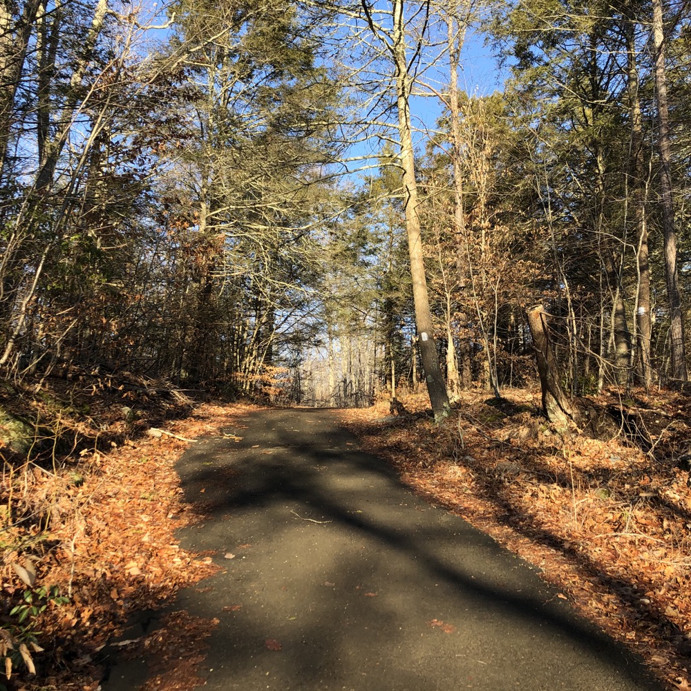
I found the Summer Hill access trail I had hiked earlier in the darkness and made my way to my car. It was nice to see the trail this time and I laughed at myself for saying things like, “Oh, that’s cool, I missed that earlier.” Yeah, ding-dong, it was dark.
Lake Hammonasset is one of the best RWA properties; and that’s saying a lot since so many are so beautiful. If you purchase a permit and grumble about having to do so, go here. Find those “Indian Caves.” Scramble above Ninevah Falls. And all your grumbling will disappear.
![]()
Map
CTMQ’s RWA Trails
CTMQ’s Madison Land Conservation Trust Trails

Leave a Reply