More Than Scant Remains
Scantic River State Park, Enfield/Somers
~2 miles of mish-mashing around, November 2016 & February 2017
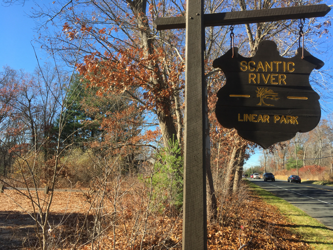
I’ve been procrastinating on writing up my treks in Scantic River State Park for a while. Simply put, it’s all a bit confusing. Parts of it are called Scantic River Linear Park. Some sources refer to the three distinct parcels using different names.
None of that really matters though. What matters is that there are a ton of trails here and most of them aren’t even marked. Then there’s the deep history of the place. I made three separate trips to complete the Enfield sections. It’s all a bit much. So I’ll be breaking the three parcels into three separate CTMQ reports. Easier for me… easier for you.
![]()
Scitico is a section of Enfield on the eastern border with Somers. In fact, this easternmost section of the park is partially in Somers. This section is often referred to as “Scantic River Park East.” There are two main entrances; one is on Hazard Avenue (route 190) and one is on Bailey Road – at which the sign says “Scantic River State Park South.”
You still following?
Let’s first poke around the “northern section of the eastern section” of Scantic River State/Linear Park. In other words, from the main entrance on 190 near the Somers border. I had Damian with me.
North, Route 190 Entrance Near Somers Border
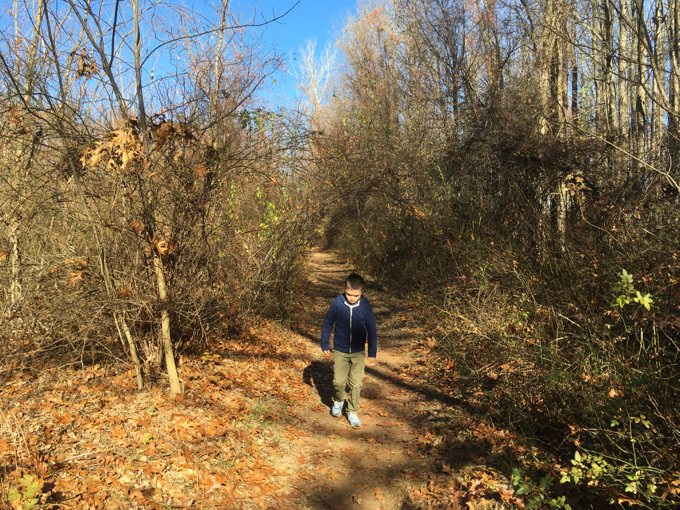
The parking lot is ample here. I mention that because the trails kind of aren’t. Sure, the main trail starts off straight and bold; cleared well through the brambles and forest, taking the hiker down to the Scantic River. This is known as the Chief Scitico Trail and the entire lollipop loop is 1.2 miles long.
After a few minutes, the trail fades a bit, but is certainly still passable. Damian and I took some detours east onto some side trails.
I was rather surprised at how high above the river we were on some rather steep slopes. With Damian, I became worried, as he is not the surest of foot. I wound up more or less carrying him for a bit to get back to safer ground.
We bumbled down the trail a ways and reached the river again, across from Bailey Road on the other side. Here we could take in the shattered remains of the Hazard Powder Company dam. I’ve always found it kind of funny that Enfield’s Hazardville and the entire history of it and the Hazard Powder Company has nothing to do with the inherent hazards of making gunpowder.
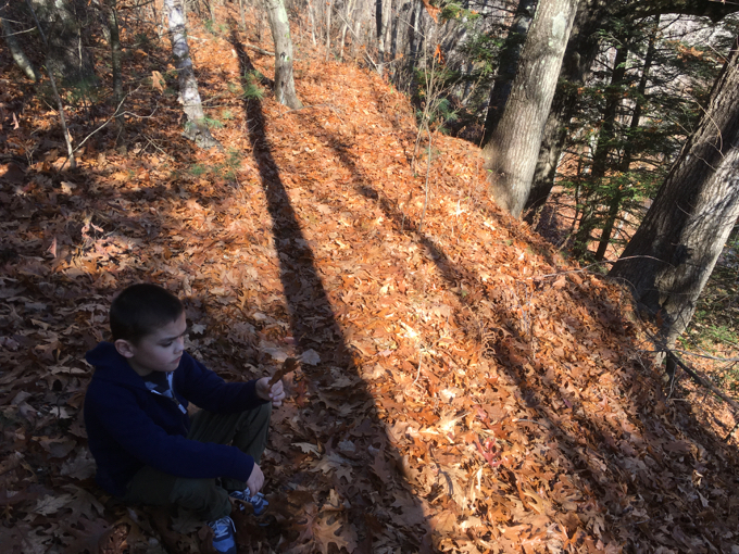
Through pure happenstance, the name comes from Augustus Hazard; the businessman who built the hugely successful company in Enfield. You can learn all about it here, via the Enfield Historical Society.
The Enfield sections of the park contain tons of mill remnants from back in the day. The gunpowder business was it its height in the mid-19th century. The war with Mexico in 1846, the 1849 California gold rush, and the 1854 Crimean War all brought huge orders for gunpowders of all types… and this was before the Civil War when Hazardville supplied a massive amount if powder to the Union.
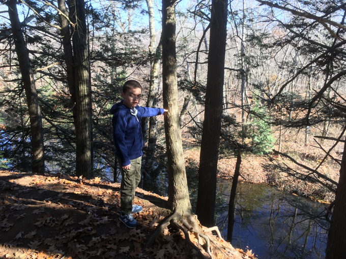
Steep!
This is, of course, how the area also got the name Powder Hollow… which lives on at the Powder Hollow Brewery very near where Damian and I were hiking.
Aside from the main loop trail, there are all the unblazed trails as well as a very poorly cleared one that heads east into Somers. At this point I figured I’d seen what there is to see in this section of the park, so I called it done.
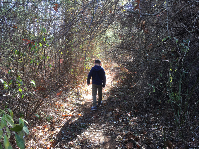
South, Bailey Road Entrance
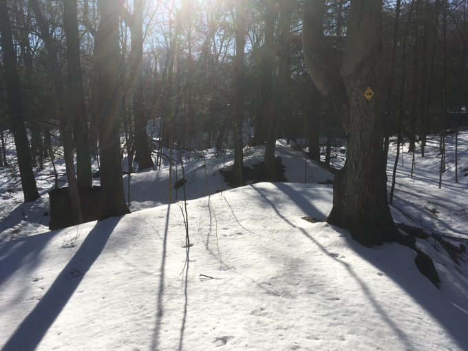
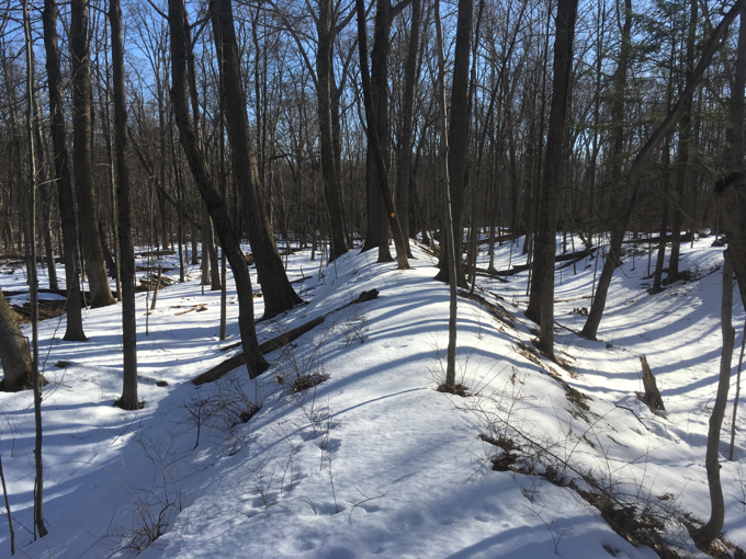
Later, as you can tell by the snow, I visited the south section of the Scitico (eastern) section of Scantic River State Park. There is a little parking lot here as well (though it was inaccessible to me due to a wall of snow.)
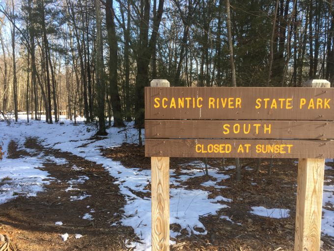
Oh. There’s a “south” too, apparently
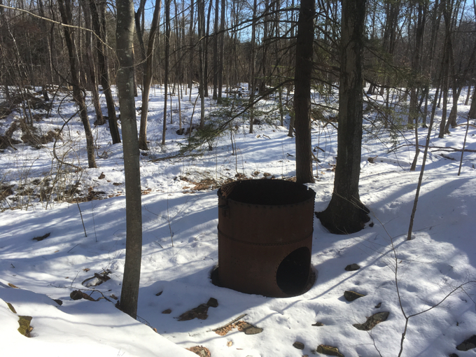
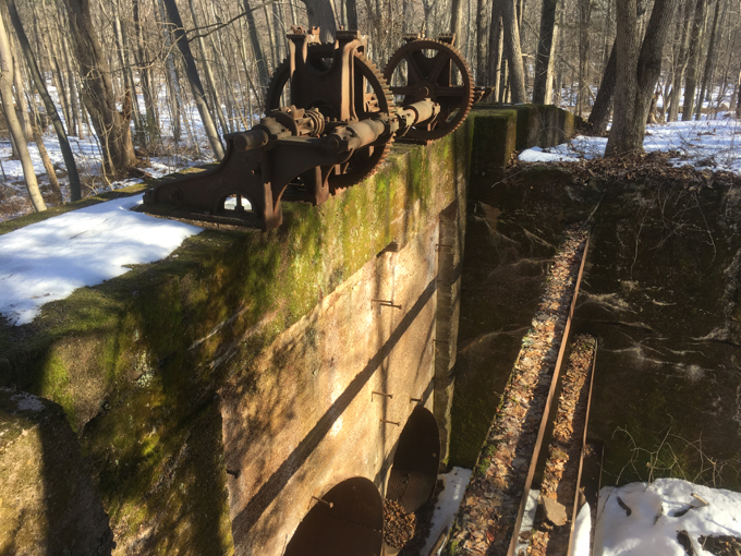
If you have a hankerin’ to hike this section of the park, I’d recommend this southern area. There are a few explanatory signs along the way and lots and lots of cooler-than-usual factory remnants.
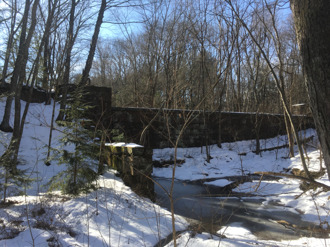
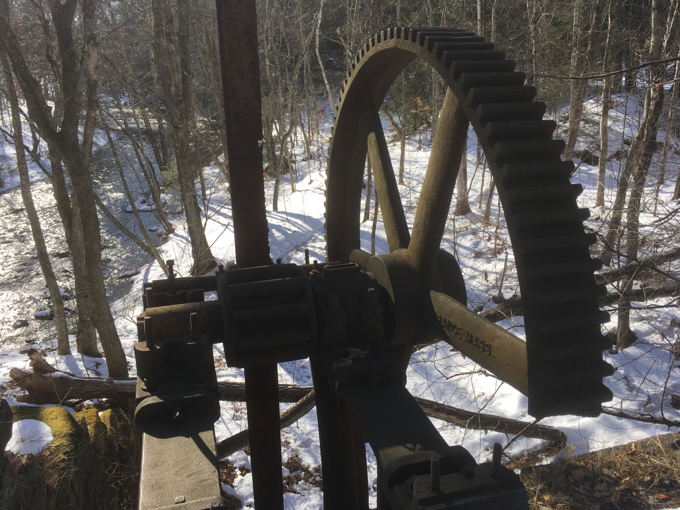
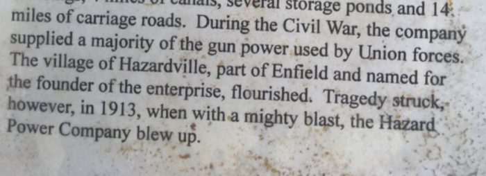
Hazard Powder Company consisted of 400 acres, 3 dams, 200 buildings, 4 miles of canals, several storage ponds and 14 miles of carriage roads. I love this sign I came across on my hike. Perhaps they were running out of room, but the unceremonious end to the Hazard Powder story cracked me up.
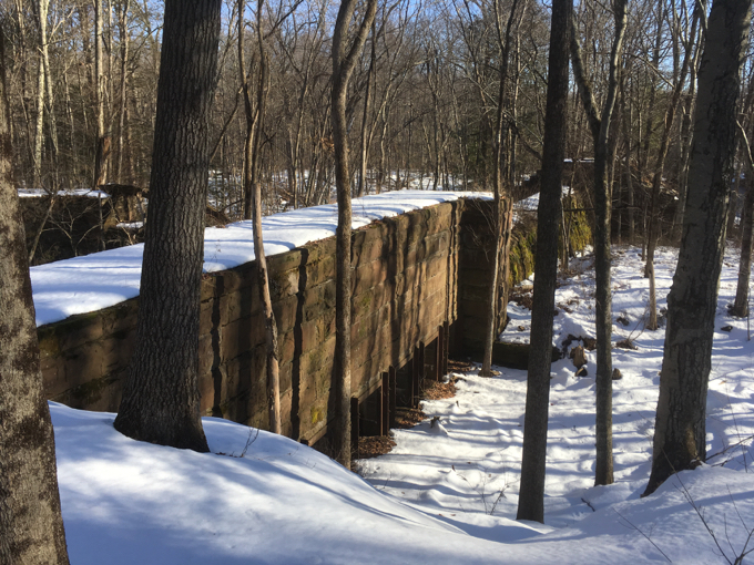
The little loop west from the hiker’s lot takes in bits and pieces of pretty much everything the company built. A raceway canal, a giant dam, huge iron gears and such.
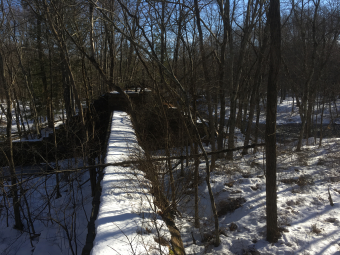
I imagine it’s probably better to hike here in the spring or fall (see below), but I rather like being the lone wolf, breaking trail through the snow. In the summer, the park is sort of overrun by locals who apparently like to drink and skinny dip and everything else associated with such activities.
There have been news stories about the activities and how the locals rather hate the situation. I can report that I found some underwear myself, and there are signs alerting visitors that they cannot possess alcohol within the park. I’m sure that’ll stop them. Again, there are literally dozens of entrances to this place; I’ve only highlighted the “official” ones. Side trails scramble all over the park, so be sure to bring a map to be able to figure out where you are.
You can explore more of the Scitico section if you wish. The Somersville Mill Trail extends a full mile east into Somers and outside the state park. As for me? I had to handle the Hazardville (West) section as well, so I’ll leave you to it.
(Yes, that’s right. Despite me writing all about Hazardville, the other Enfield section bears that name. Like I said at the outset…it’s all a bit confusing.)
![]()
CTMQ’s Scantic River State Park hikes
DEEP’s Scantic River State Park maps
CTMQ’s State Parks, Reserves, & Preserves
Somersville Mill Trail

Leave a Reply