Section 2: A Blistering Pace… A Bloody Failure
Route 2 Crossing – Coop Sawmill Road, 8.2 Miles
January 17, 2010
Argh. So frustrating.
Now that I’m back to work, I can no longer just go for a hike any old time like I could in the good ol’ days of summer 2009. I did take advantage of that time, sure, but probably not as much as I should have. So I place a premium on my hiking time now and therefore when it doesn’t work out as planned, I feel like I’ve failed.
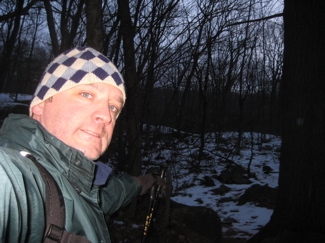
Which is really stupid and shortsighted of me, I know. A hike – any hike – is better than no hike. But I had planned this one for a while and was proud of how I was going to time it with Hoang picking me up at the end and how it would all work out so perfectly with her lunch date with girlfriends down in East Hampton and… Well, it got all screwed up. More on that later.
My grand plan was to get up wicked early and start out well before dawn. Sheer laziness put me behind schedule from the get-go. I had figured that I’d hike the first mile in darkness (with a headlamp of course) down the old road beside route 2 to get to the actual Shenipsit Trail where I’d left off last time. By then, I figured, dawn would crack the horizon and I’d be good to go.

Dawn was cracking before my rusty joints were and I hadn’t really thought about the fact that hiking in crusty snow and ice is always a bit slower than dry hiking. Oh well, I simply hiked faster once I got going.
But I already had a very aggressive plan. I wanted to get from my car along route 2 off of exit 11 in Glastonbury up to Bolton, just past I-384. That’s over 13 miles. Over snow and ice. Yeah, okay, so I don’t think I’d have made it in perfect conditions. Shut up.
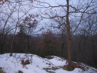
To my benefit, the entire hike really isn’t very hilly at all and about two miles of it is on roads. So I held out hope.
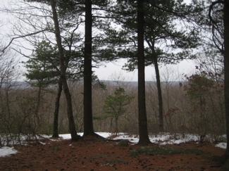
As the trail heads north away from route 2, it gradually climbs through the Meshomasic State Forest up to a couple little overlooks. My views were a bit limited due to lack of light and cloud cover, but there’s always a nice peaceful feeling one gets all alone in the winter woods at 7 AM. I highly recommend it.
This calm feeling dominated the first couple miles as I was making good time as the trail used some old tote roads through this first section. At one point, the trail heads left off the main tote road, through some thick laurel – thick laurel kind of hurts in the winter by the way. Those little leaves are like ice knives when they hit your face. Anyway, the trail veers left in an effort to take in what’s supposed to be a view of Hartford. I’ll take this opportunity to show another reason why this wasn’t the best planned hike in my history:
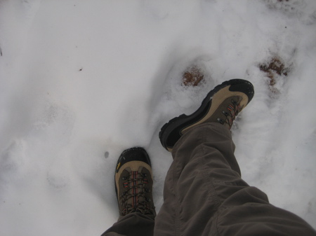
New boots! Yes, Hoang bought me some nice new Gortex boots for Christmas and I was wearing them for their first hike. Now, I’ve come around to be a huge proponent of trail runner shoes over boots, but after last winter’s fiasco in the snow with my old, dead boots *sniff* and the frostbite I still feel on two toes, I wanted some nice warm boots. And I got some! And with new boots come…. Yup, blisters. But again, I’m getting ahead of myself, as I was having no issues at all over the first couple miles.
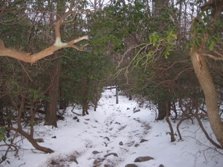
It was maybe another half mile up the trail on the uphills when I started feeling “hot spots” on both ankles. The boots were rubbing my ankles a bit but it really wasn’t too bad at all. I had put on some duct tape as a precaution – don’t laugh. I learned that trick on the AT and it really works. Usually… As it provides a slippery buffer from the rubbing.
Once on the short stretch of Windham Road (just an old forest road), I was distracted from my ankles by the trail blazes. They suddenly had white dots in the middle as soon as the trail turns sharply east off the road and this confused me a bit. I mulled over the idea that I was on the wrong trail suddenly, but decided to forge ahead because I was going the right direction anyway and there were enough features in the woods to prove me right or wrong.
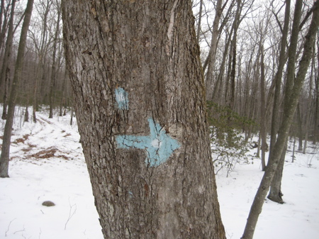
One of those is a side trail to a waterfall. Except that trail wasn’t marked, so doubt remained as I flew down a steep stretch to follow a creek for a while. Knowing I was on the right path (despite the frustrating white dots in my blue blazes), I continued onward and northward – about to pass through a mile of some of the most uncomfortable hiking in the state.
Yes, my ankles were now increasingly uncomfortable, but that’s not what I’m talking about. I’m talking about the Shenipsit – bless its intrepid heart – skirting very near a bunch of very nice houses in Glastonbury. The town has easements along the waterways and through skinny stretches of “woods” between these recently built giant houses – which is great. But still…
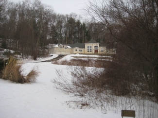
The whole next mile is very weird. The trail skirts a bunch of retaining ponds which I suppose were built up to qualify as saved wetlands or some such sham to build the McMansions. I don’t know. They are sort of nice as long as you ignore the giant concrete drainage pipes. Once more vegetation grows up around the ponds and houses, it’ll look fine. But for now, climbing up some old stone steps towards a giant house off of Imperial Drive with a dog barking at me was a bit off-putting.
Once across that road, I found a dry place to sit to attend to my heels. I’ve kindly provided a photographic step-by-step:
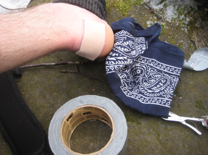
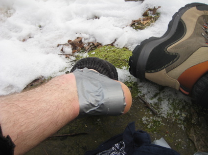
Ahh, that should do the trick. Away from the retaining pond towards another backyard and then back down to another retaining pond before crossing another high-rent district road, Diamond Lake Road. Some neighborhood soccer moms passed me in their SUVs and glared at me for crossing their precious road. I’m sure they treat the deer the same way. Whatever, I was staying on the trail – which is fairly well blazed through all this development, though the short stretch along Diamond Lake Road is a little confusing as heading north, it doesn’t dip back into the woods until it reaches a giant house’s front lawn behind some ornamental shrubs.
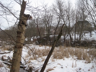
My heels were feeling okay as I picked my way over a bunch of streams and stone walls, all within view of various picture windows. The trail climbs steadily up John Tom Hill and heads straight toward some more houses.
Now, there is no mention of this in the Walk Book and no road printed on the map here… But I kept going. The next thing I knew, I was literally in someone’s backyard with their yappy dog going crazy from behind a sliding deck door. Oh man, what’s the deal?!
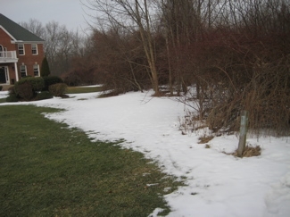
I retraced my steps and the blue blazes most certainly lead to this backyard. Hm. I sheepishly walked between the two houses and out to the road – a road I now know is called Pheasant Crossing. They should have named it Shenipsit Hiker Crossing. Look, it was maybe 9 AM on a Sunday morning and I was walking very, very near houses. I was uncomfortable. If it was a July afternoon and the kids were playing out back – that would just be creepy. I don’t know what the solution is, but it looks to me like the trail could skirt this road to the west and then rejoin the trail north of the houses, but I’m sure there are property ownership issues.
Once I got over all the suburban traipsing I’d been doing, I realized my heels were getting rubbed pretty darn raw. The trail here follows Hebron Ave and then Birch Mountain Road for a little while, which is a recent reroute. (It used to head west on Hebron and then enter the woods west of the antenna array). It’s marked clearly and the walk down Birch Mountain isn’t too bad. Where else can one walk past (I think) seven different antennas of varying sizes? It’s like a showroom history of antennas, all up on John Tom Hill.
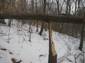
(By the way, wordsmiths, I just looked it up and I was right – antennae is the plural of biological antenna whereas antennas is correct for mechanical ones.)
Anyway, the Shenipsit has co-opted the old “John Tom Hill Connector” trail on your maps. This isn’t a big change in what you’ll see at all, once in the open, stone wall studded woods. After crossing the power line cut, the trail climbs west a short way and re-connects with the older, now closed Shenipsit route. Just before this area, a blue and white trail intersects with the Shenipsit which is the southern arm of the Shenipsit/Gay City Connector loop.
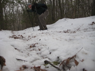
One can take that connector back across Birch Mountain Road and then east into Gay City State Park. Which I’d already done back in the summer of 2009 because the Gay City Trails are part of the CFPA Blue Trails Challenge. Of course.
I should mention that a bunch of the land parcels the Shenipsit hikes through are owned by the Kongscut Land Trust. I have nothing more to say about that, but thought the name was unique enough to warrant mention. The Kongscut Land Trust comes from a Native American Indian word meaning “place of wild goose.”
The Shenipsit climbs a very steep, very short section to attain the ridgeline, which offers some nice hiking. When I walked this area in the summer, the blueberries were abundant. There’s a nice area called the Pine Ledge overlook that takes in a cluttered view of Hartford amidst a nice mature stand of pines. After that view, the trail spends a surprising amount of time on exposed bedrock – surprising because one doesn’t expect this type of geography in Glastonbury – as it descends down off the ridgeline.
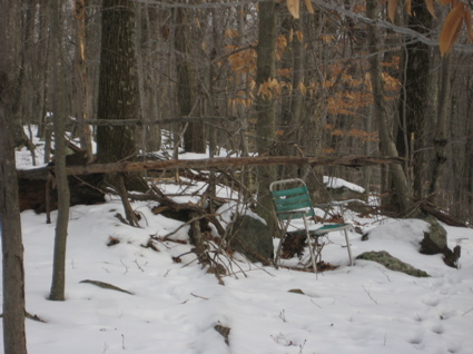
Ahhh, relax.
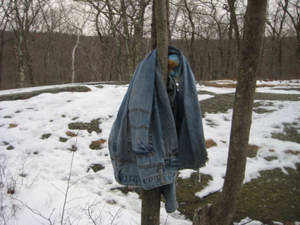
Rather confusing bit of litter.
I stopped here again to tend to my now dire heels. I could do nothing further to stop the blistering other than increase the layers of duct tape, moleskin, molefoam and bandages. I was bummed and hurting. Checking the time, I realized I would have to clothesline the mountain biker who passed me and steal his bike to meet Hoang at the appointed spot at the appointed time. Sigh.
I was forced to do something that goes against every bone in my body: Use a cell phone in the woods and give up the dream. Lame.
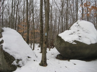
I called Hoang after consulting the map and asked her to pick me up on Coop Sawmill Road. This meant I only had to walk another half mile or so and leisurely wait for her arrival. And most of that walk was downhill and quite pleasant. Ahhh…
Oh look, Coop Sawmill Road! Ahhh…
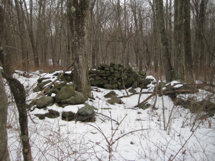
The site of the old homestead at the Coop Sawmill
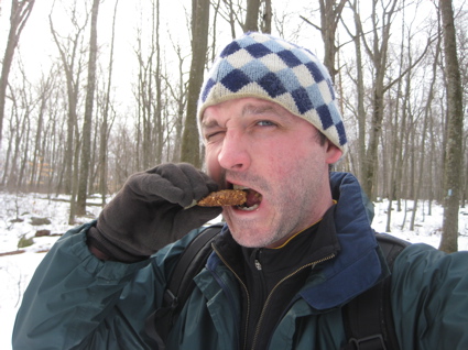
Winter hiking tip: Keep energy bars warm in your pocket rather than freezing in your backpack.
Oops. No way. Coop Sawmill Road is actually Coop Sawmill Humvee Test Course. I ended up speaking with a very nice woman out for a walk and had to make a quick decision. Try to jog/hike the next 2.7 miles through Case Mountain Park and down to the hiker lot on Birch Mountain Road (near 384) or fast walk east along Coop Sawmill to Birch Mountain Road where Hoang could collect me – about half the distance for me to go.
I swallowed my pride and called her back to apprise her of my new plans and hiked out along the road. It all worked out in the end, Hoang made her lunch date and I ended up doing about 9 or 10 miles when I was through. Still, I felt like a failure… And I was in pain.
Once home, I set Damian up with lunch and a movie while I began to peel the layers of clothes off. Once down to my socks, I nonchalantly took off the nice thick hiking socks to reveal…
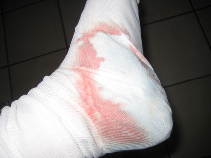
Blech. No one wants to see that.
Because kids and grandmothers enjoy the pages of CTMQ as much as hardcore hikers who have all been through this before, I’ll spare you from seeing the grisly pulp that was once my left heel (my right heel looked exactly the same, but you’ll get the point.)
So, if you must see the carnage, here you are.
As a result, I have a longer Shenipsit hike in my future, but it looks like I’ll have the esteemed company of a gentleman who is rather well regarded in New England hiking circles, so stay tuned.
![]()
Continue on to Section 3: A Seriously Mixed Bag
CFPA Trails Map
CTMQ’s Shenipsit Trail Intro

 Cumulus says
February 17, 2010 at 9:11 pmYou went farther than I’d thought from your email. After you passed the blue/white intersection near the power lines you were on trails I hike more weekends than not. One thing I found interesting was phrase “The Shenipsit climbs a very steep 5 meter section to attain the ridgeline”, interesting because it does not have words like “forks off to the right of the obvious trail and looks like it’s going to bypass the ridge until it suddenly turns left and” in between “Shenipsit” and “climbs”. I wonder if you left the trail at that point. It’s easy to do; I did it for months before I noticed a blue blaze on the correct trail. (With some recent reblazing it’s more obvious southbound, but still tricky n’bound.)