Sherrill Mountain, 3,549 Feet
October 6, 2014
~6 miles solo from the Route 42 D.E.C. Lot at Shaft Road
#31 on the Catskills 3500 List
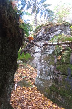 The time had come. My first Catskill bushwhack. There are bunch I must do to become a Catskill 35er, so I figured I should get going with them at some point. I’ve never been “scared” of them or anything, but figured that I should climb a few trailed mountains to get a feel for the Catskills first.
And just to be clear – bushwhacking up mountains is kind of dumb. Doing it all alone on a weekday is really, really dumb. Don’t do it unless you a) really know what you’re doing, b) have good navigational skills, c) have a very clear plan and someone with whom you’ve left those plans, and d) confidence.
It’s really not all that difficult to do, and there are plenty of other websites that will go into far greater detail than I will. I sought some advice from fellow peak-bagger Cumulus before I drove west to the Cats. “I’m climbing Sherrill – any advice?”
“Just cross the creek and keep going up.”
Yup. Nailed it.
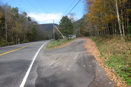
Going north on 42, this is what you’re looking for. That’s another trailess 35’er in the distance: Halcott
I had hiked Balsam Mountain earlier in the morning and told my wife back home that I’d be on my way up Sherrill at 10:15. (I have a picture of me setting off at exatly 10:15, which is why I originally wrote that, but only my OCD cares about such things.) I would have been on my way 10 minutes earlier if I’d not missed the turnoff for the parking lot 3 times while barreling along route 42. (It’s easy to miss… just know that it’s near the county line and off of the sort of fake and tiny Shaft Road, hidden behind a copse. Once in the lot, you’ll be sort of freaked out by how large it is.)
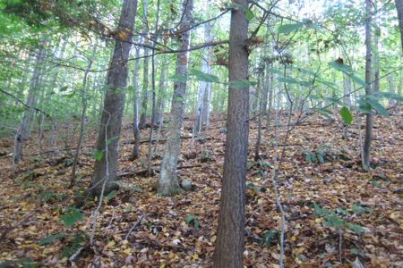
Just hike through woods like this, always heading up, for the first mile
I got out and walked up alongside the creek for a little ways before crossing over. Once crossed, I followed Cumulus’s sage advice: “Just go up.” The ridgeline to the summit is pretty well defined, so getting “lost” on Sherrill is pretty difficult. Besides, there is a clear “safety bearing” here: due west. Pretty simple.
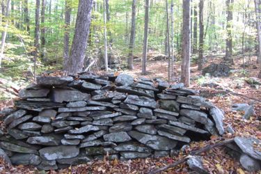 The lower slopes are dotted with some old stone walls that are rather impressively built. Past them, the climb up follows the traditional Catskill formula:
Moderate uphill
Steep uphill
Rocky uphill
Cliffs
Moderate uphill
Steep uphill
Rocky uphill
Cliffs
Repeat 10 times or so.
These cliff bands are present on most of the mountains in the Cats, when you are hiking up a trail, some trails are nice and try to skirt them. Others like to go straight up them sometimes.
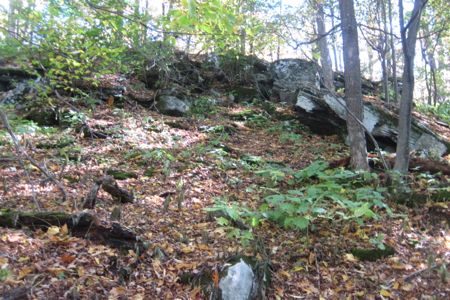
Cliff band! (Just keep going up)
But really, it’s only when you’re bushwhacking that you seem to find yourself going up and over every one.
But Sherrill’s not too bad, and you can sort of go around most of them if you so choose. But at least everytime you’re going up, you know you’re heading to the summit. Right?
Now seems like a good time to insert this bit of wisdom I came across on one of the better Catskill sites:
At 2-1/2 miles at 3,400′ you will come to some very thick brush. In the summer it may be hard to find your way thru the brush. Fortunately, the thick brush does not last long. There is a Cave just after the flat section of brush. It can provide you with shelter if needed. Just make sure that a bear is not sleeping in there.
Yes. You do that.
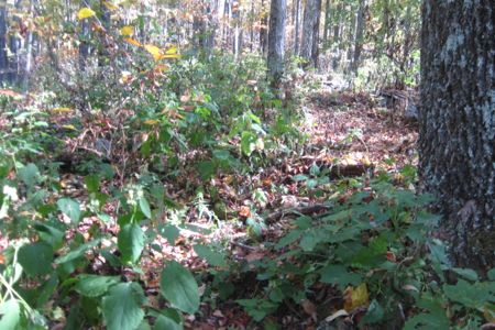
Brambles! (Just keep going up)
I actually did come across this “cave,” I think, but wasn’t too interested in it. Bushwhacking is a lot more tiring than climbing a mountain via a trail. It just is. Every now and then I’d find faint trails and follow them, but they’d disappear almost immediately.
Like an expert tracker, I’d notice stuff like this:
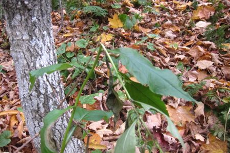
I’m a regular Tonto (Just keep going up)
– and think, “Ah yes, I am hot on the trail of the last person to climb Sherrill Mountain from the west!” I had to bash my way through a few thickets and blowdowns, but for the most part, the woods on this side of Sherrill are very open. The ridgeline, though very wide most of the way up, is very well defined and easy to stay on track with.
Near the summit, a herd path does materialize and I followed it for a couple minutes across the plateau to the true summit and the summit register. What a great feeling; seriously. I think I navigated my way from the car to the summit with very little wasted effort.
There are no views on Sherrill, but finding the register is, for me, at least just as satisfying. After almost two hours of bushwhacking up a mountain, finding the register is a just reward.

Herd path! (Just keep going up)
I cursed myself for not having the confidence earlier to plan to walk over and get North Dome too. I wanted to be sure to get up and down one trailless peak and to give my wife the confidence in me. So I turned tail and retraced my steps down the flank of the mountain.
There is no cell service in these parts, so I couldn’t just text Hoang and says, “Doing fine, gonna go climb North Dome too now.”
Y’know?
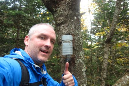
Summit!
Descending wasn’t so fun, as the many cliffs and boulders to get down where a bit rough on the knees. The wet leaves and steep slopes resulted in more than one fall; fortunately none of them were too painful.
So there you have it – an experienced hiker’s first Catskill bushwhack. I had no issues and rather enjoyed the hike but again, I know what I’m doing. That’s not a brag, that’s just a person with 30 years of hiking, map-reading, and orienteering experience talking. Depending on how your mind works, I’d recommend an altimeter too. For me, it really helps to know how much more climb I had to tackle as I made my way up Sherrill. Other than that, be careful, hike with a partner (or 5), and do your research.
Oh – and have fun.
I reached my car and proceeded to devour one of the greatest meals on earth:
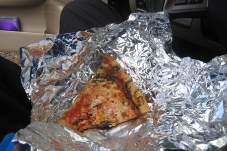
Pizza!
Old, cold Harry’s Bishop’s Corner pizza. I don’t think I’ve ever inhaled food so fast. Some random white dog showed up and hung out with me for 20 minutes while I recuperated. Then it disappeared into the woods.
I went to go scout out nearby Halcott Mountain and actually climbed about 1/3 of the way up it – it seems like perhaps the easiest of the bushwhacks? Maybe I’ll do it in the snow or something.
Then I drove the 40 minutes east towards home in order to text my wife and let her know her ding dong husband was doing fine.
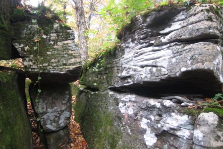
Get used to getting up (and later, down) stuff like this
My Catskills 3500 Club pages
Official 3500 Club

 Cumulus says
November 26, 2014 at 9:13 pmGlad it worked out so well, but I’m pretty sure I said “Cross the brook”. I’m from Connecticut, after all, and an unnamed small river is a brook. Besides, it’s the Catskills, and except for Esopus Creek I think all the waterways are either “brook” or “kill”.