“Peace and Tranquility”
Simsbury River Walk, Simsbury
November 2024
This website became an adult a few months ago in September 2024. That’s right, 18 years of CTMQ. You’d think the impetuousness and stupidity of its middle and high school years would be behind it, but no. Stupid things still happen here.
Like, for instance, this hike.
A hike that seems like a perfectly simple, flat, and easy walk along and near an incredibly popular path right in downtown Simsbury. An old trail description certainly speaks to its ease and charm:
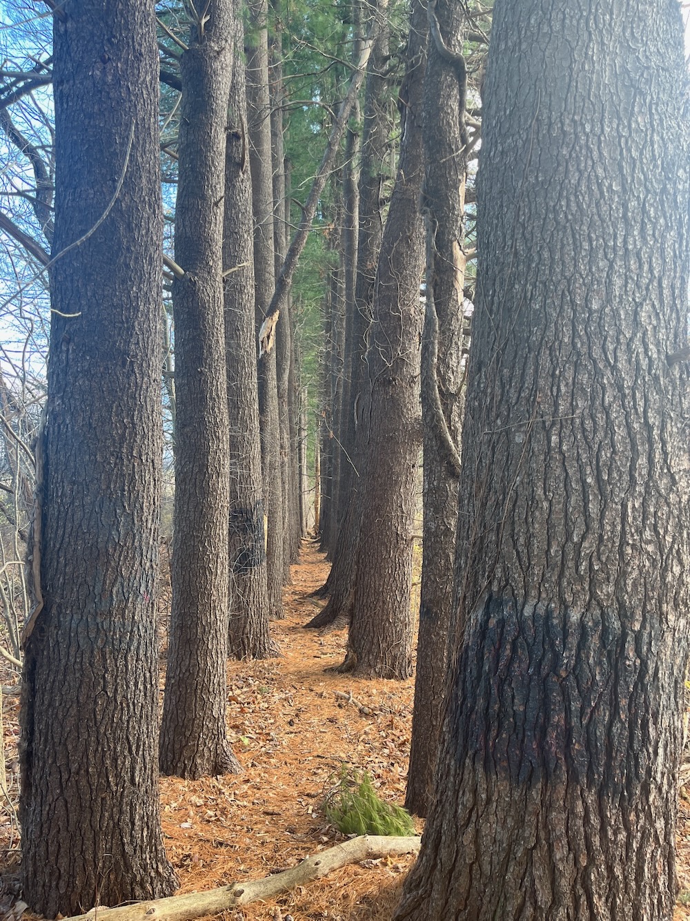
This 2.2 mile loop trail on property in Simsbury Center, also known as Great Meadow, lies entirely in flood-plain. Here you can travel effortlessly from open fields to woodlands, along the Farmington River, and into areas of swamp and marsh. The trail is flat, regularly mowed, and well marked but short stretches can be seasonally wet. The trail is easily accessible and adjacent to ample parking off Iron Horse Blvd. The best entrance is from the foot of Mall Way via a small set of steps leading east off the bike trail. It leads down a lovely pine colonnade, past a couple of corn fields, then through an open forest next to the river. It next passes through meadows close to an ox-bow of the river, past a swampy area and over ancient farm drainage systems now clogged by beavers. The trail ends at the Simscroft parking lot.
How lovely!
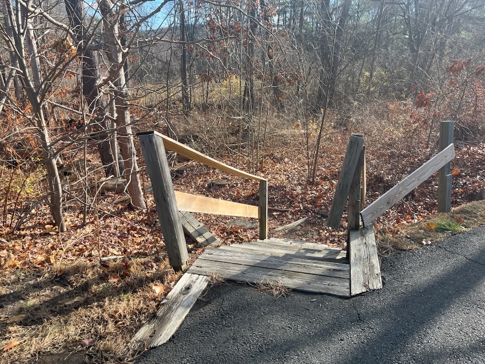
And I’m sure it was lovely when that was written. I knew going in that this trail doesn’t appear in any recent town trail guide, and I knew that Simscroft no longer exists on Iron Horse Boulevard. I was also aware that if beavers were beavering when the above was written two decades or so ago, there may be problems.
But I also knew that the “small set of steps leading off the bike trail” still exist in 2024 and that I had to see where they led in 2024. So off I went.
Wow, what a start! The “lovely pine colonnade” is indeed lovely. It’s really quite cool and is a unique experience in the state. I noticed immediately there are no blazes on this trail at all, but that’s fine. There’s no way to get lost lost here, with the Farmington River to your east, the Boulevard to your west, a road to the south, and an oxbow of the river to your north. Right?
… right.
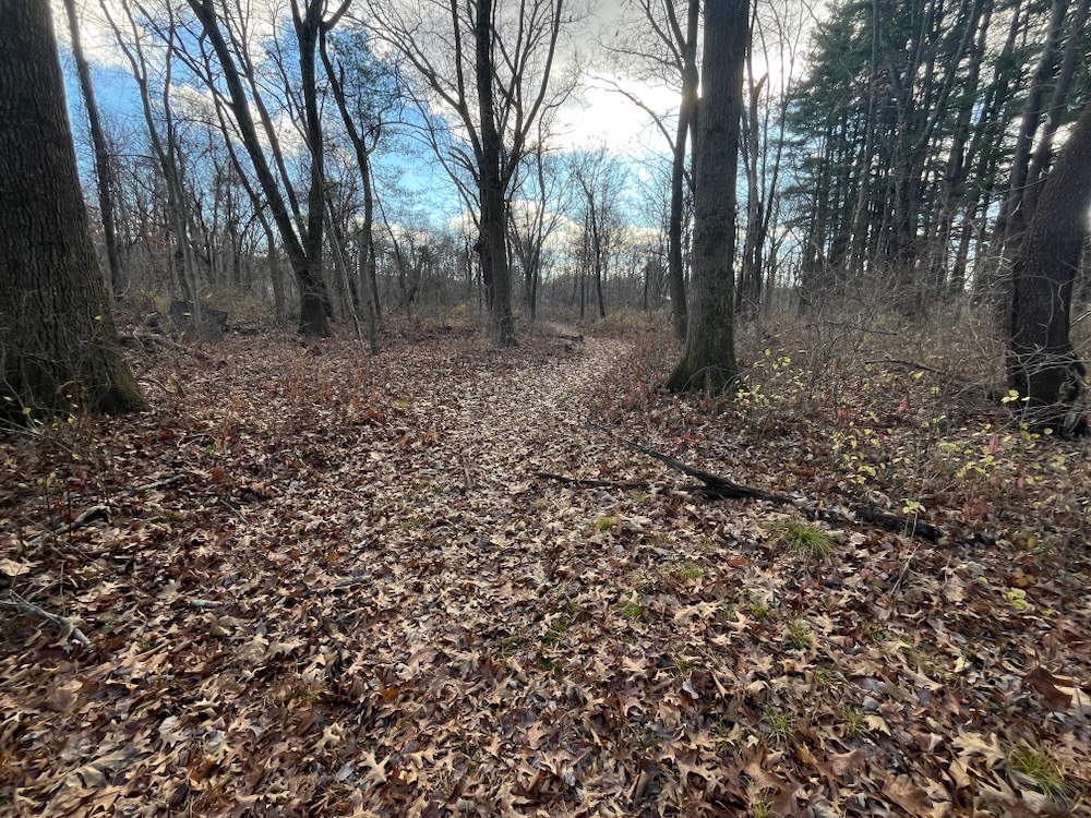
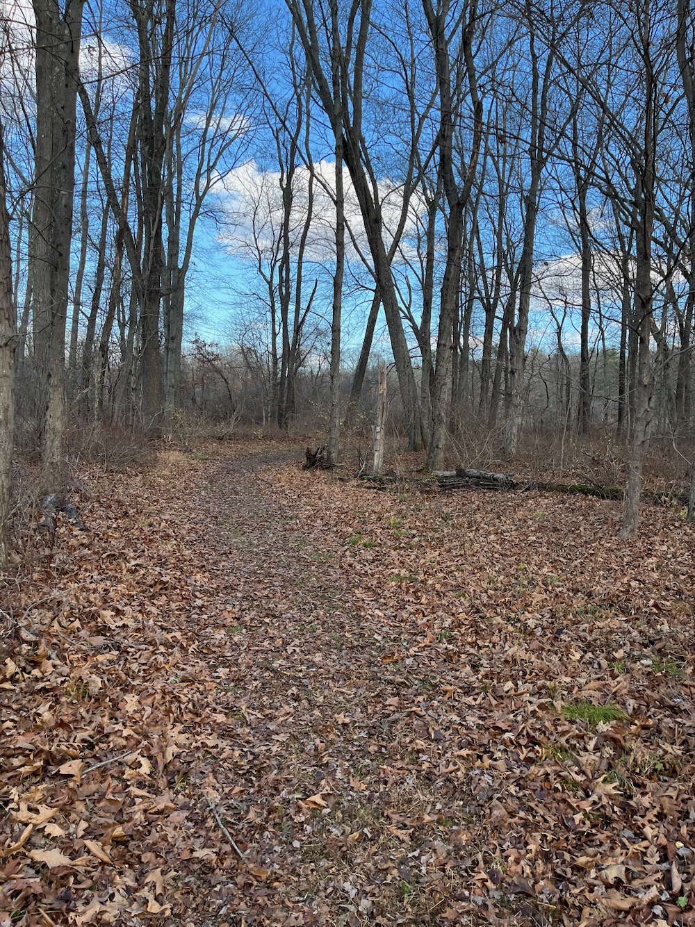
After the pin-straight trail through the pines, I quickly learned that this trail is no longer maintained to any serious degree. It just kind of ended in a mess of brambles and brush, so I made my way through that out to the grounds of Simsbury’s waste water plant. They left this bit of scenery out of the description above.
I re-entered the woods and found a woods road that I knew led to the high school’s boathouse. Now, a public high school owning a boathouse is cool and all, but I wasn’t interested. I followed it north for a bit and joined what I felt was the trail I was trying to follow. And I followed it east.
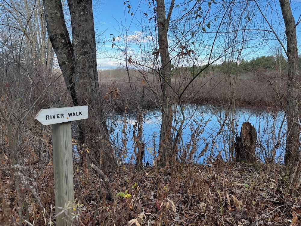
And, in fact, it’s a nice trail. And it’s been maintained well. Heck, aside from that one hiccup after the pines, I could recommend this trail. As I walked, I was still curious as to where this would ultimately take me, but as I neared the river and some offshooting herd paths, I was buoyed to see some trail signage.
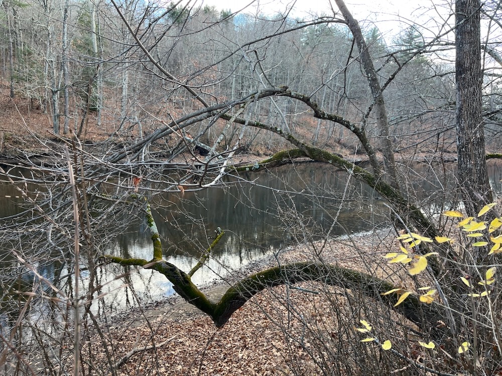
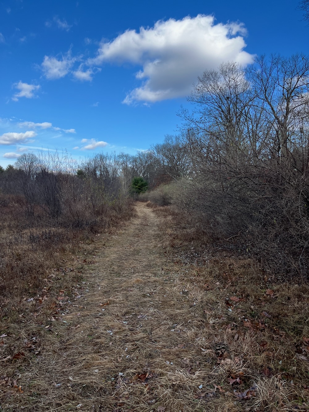
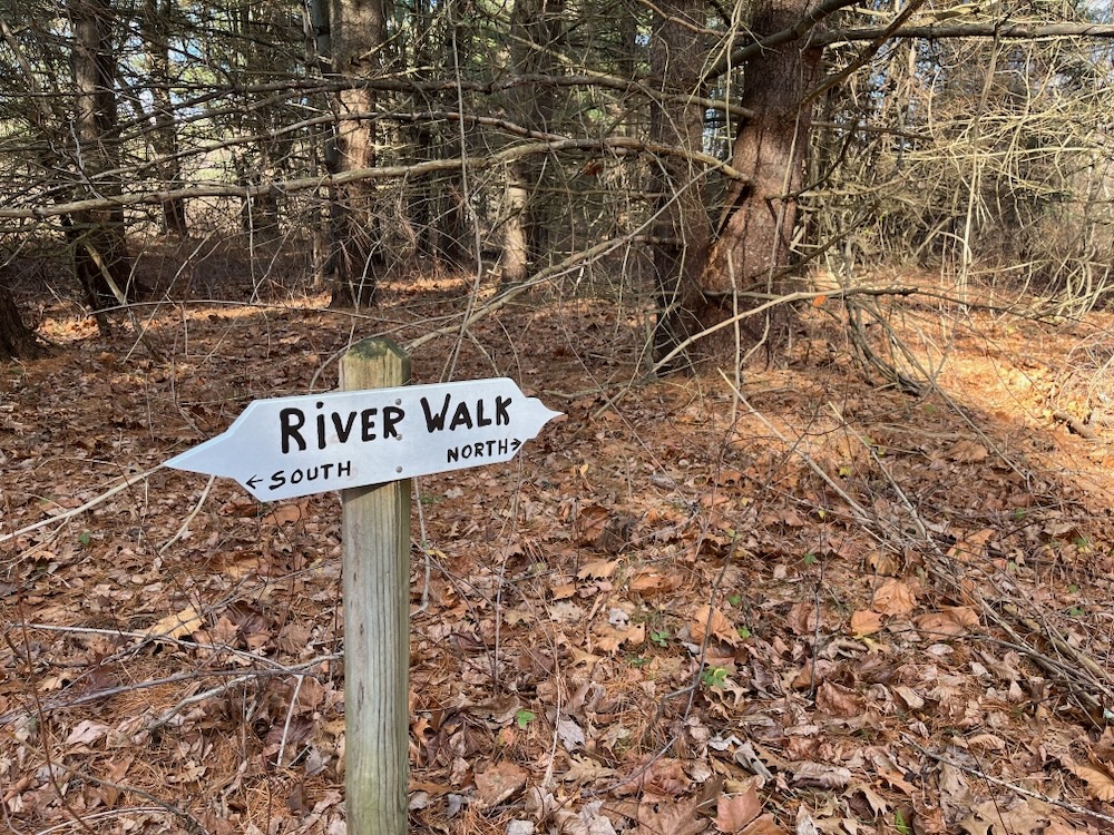
These things wouldn’t be out here if there weren’t people hiking this trail, right? And the arrows pointing back from whence I came certainly suggests that this is, in fact, a complete loop trail. Cool. I kept walking.
This is a very nice area I suppose. As I walked, I kept thinking “who else ever walks out here?” I didn’t see anyone, nor did I expect to. But it’s that solitude that many of us hikers, including me, seek. There were peeks of houses across the river every now and then, but I generally felt isolated and alone with my thoughts. Gone were the farmed fields to the west of me, now there was nothing but brambles and marshland.
I continued north.
I passed another trail sign and then another. This one even had an explanatory sign about the trail, noting the 2.2 mile loop. However, there was something odd about this one:
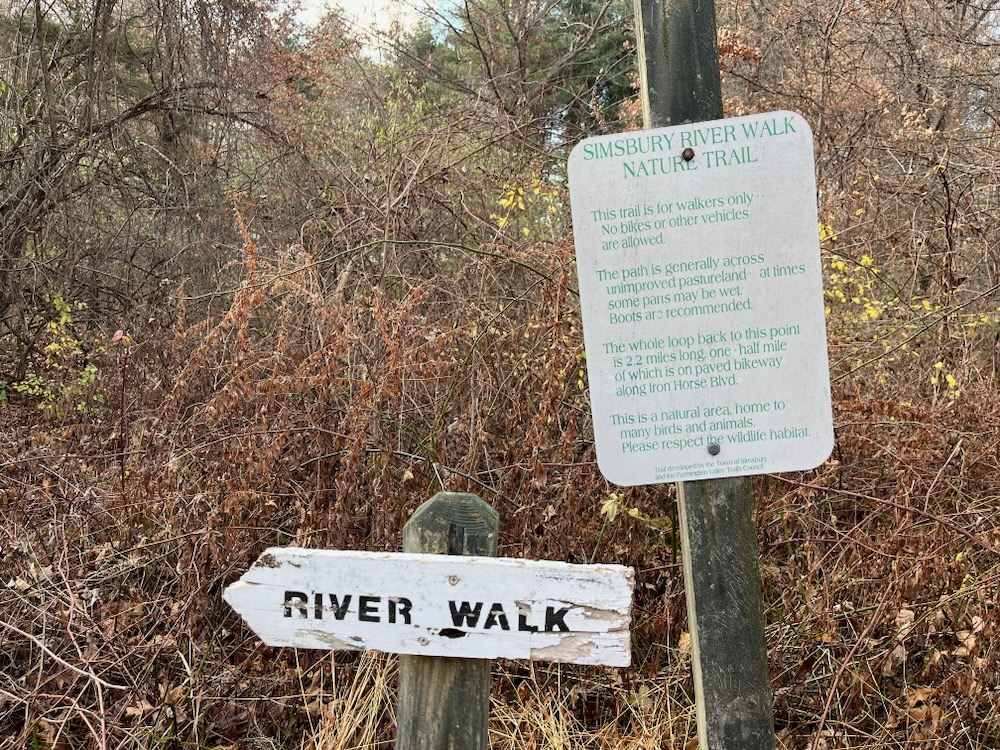
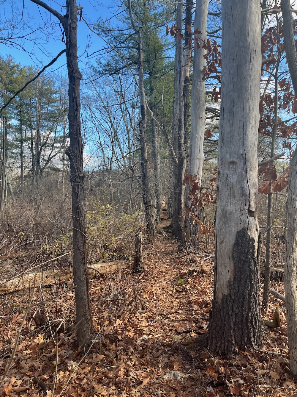
Is the right arrow broken off? (As in, you can go either way?) I didn’t think much of it until a minute or two later when I found the wide trail I’d been walking along shrunk to a tenth of its size and didn’t appear traversed by humans for quite some time.
I returned to the sign above looking for a trail west back to civilization, as I was near the point where that would make sense, according to the old map.
After a fruitless search, I continued north along what was more or less a herd path. After a few minutes, I reached a property boundary. Signs on trees noted that continuing north would take me onto state land, and I knew the state land here was Simsbury Meadows WMA.
Hm.
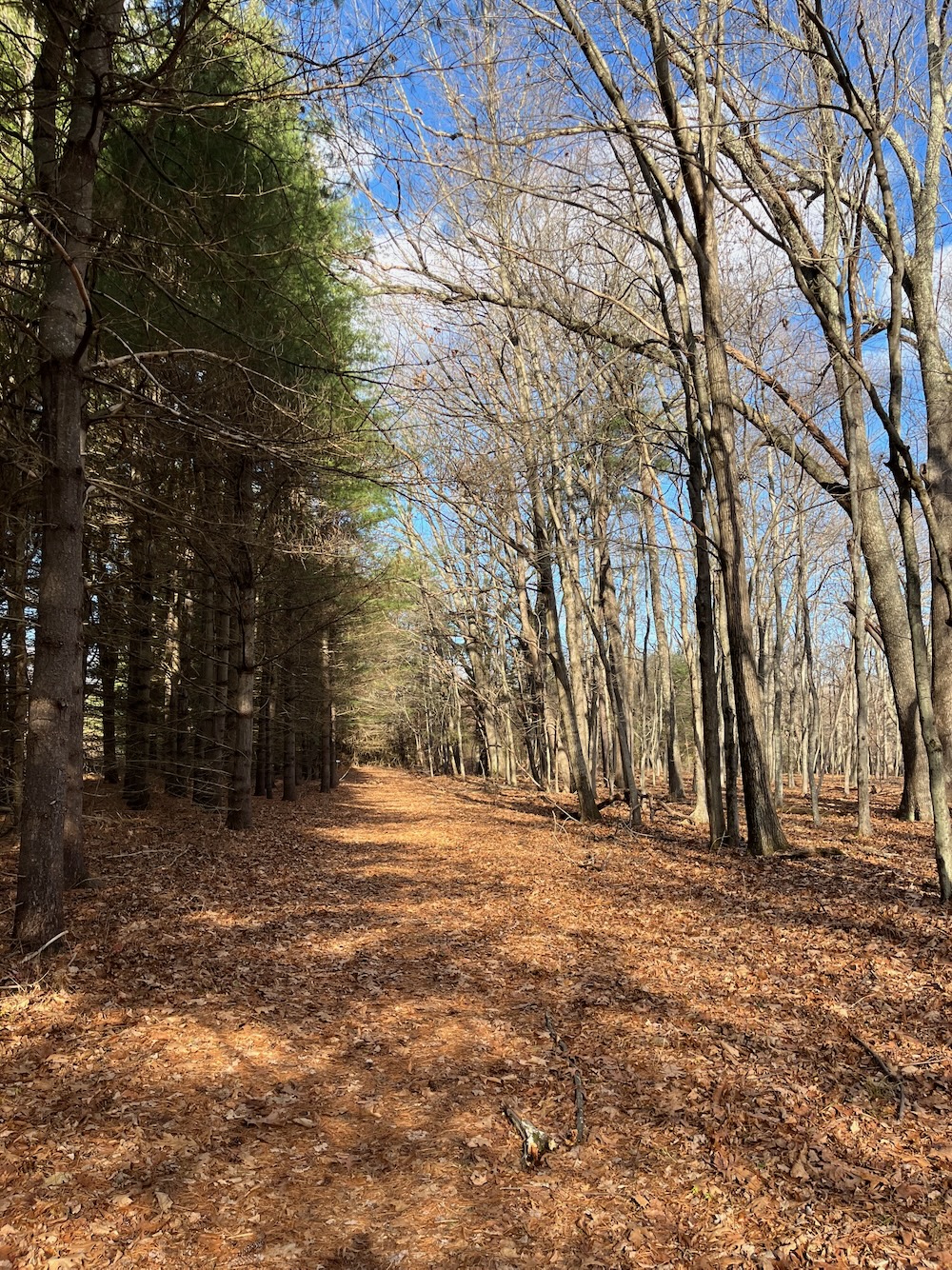
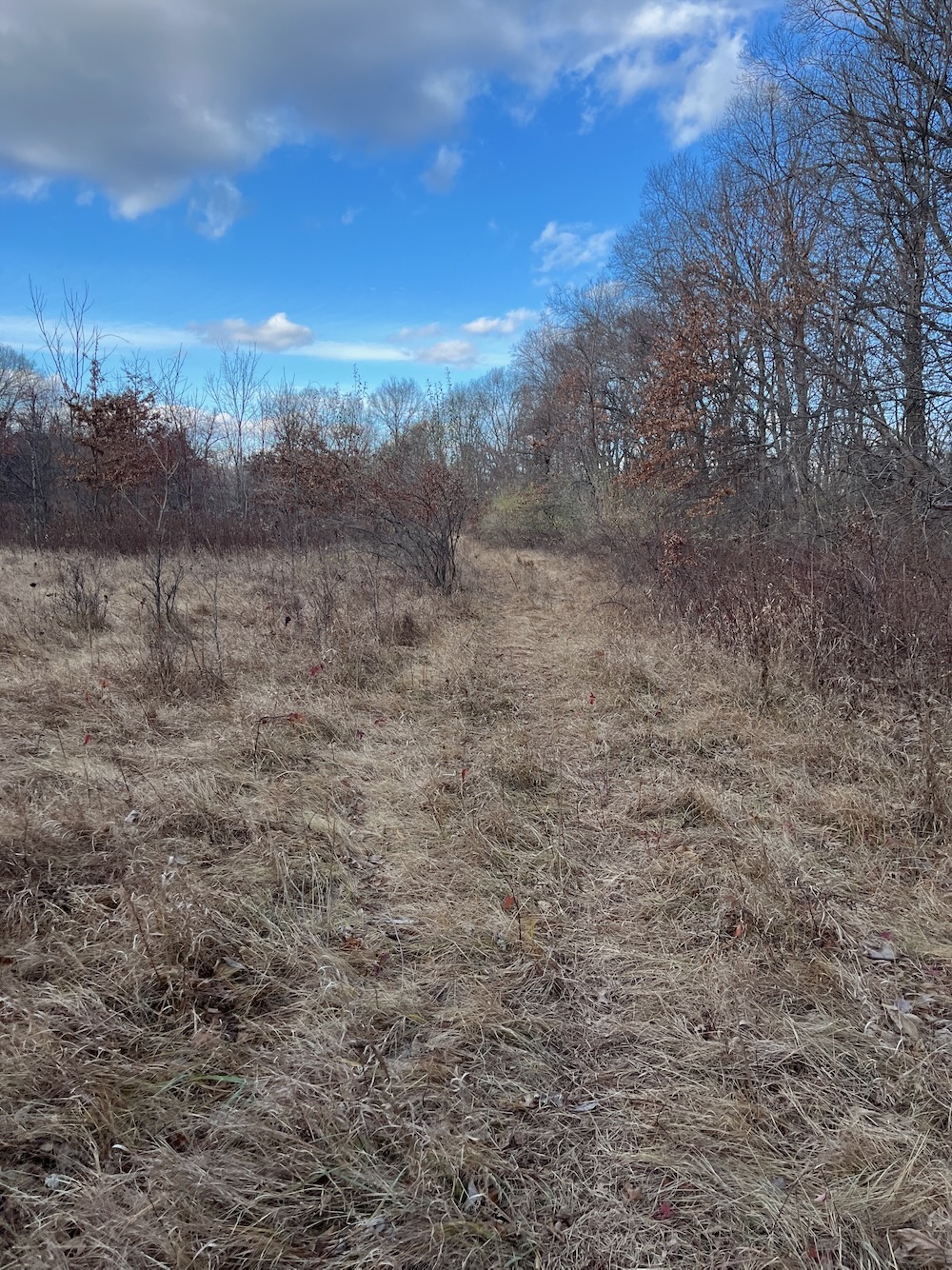
The trail west was supposed to be generally where that broken arrow sign was. I know! I’ll just triangulate towards it from where I was. No problem. After all:
The Great Meadow offers a rich habitat for flora and fauna. A profusion of wildflowers is on exhibit throughout the warm weather, especially in spring. Birds use the area heavily as a stopover point during migration. Great Horned Owls have been observed raising their offspring while Killdeer nest in the cornfields. You can frequently see Red-tailed Hawks, wild turkeys, and deer. Oftentimes snapping turtles can be seen moving between the marsh and river. The views of the river and Talcott Ridge to the east are idyllic, generating a feeling of peace and tranquility difficult to match elsewhere in the Hartford area. This is truly a resource to preserve and treasure.
I could use some peace and tranquility. Nice.
I headed off in a southwesterly direction, and it was fine. Until it wasn’t.
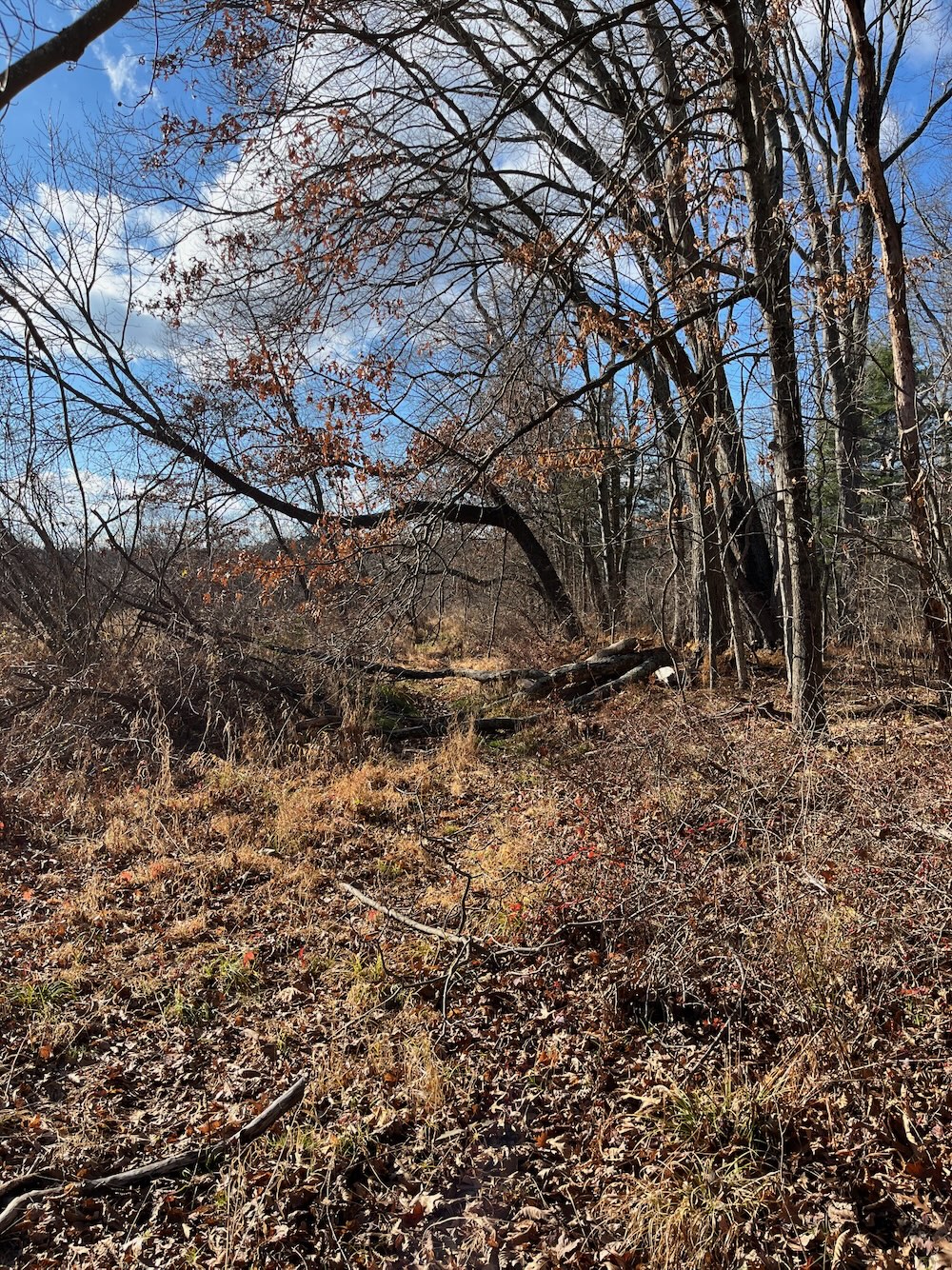
I found no trail and instead found impenetrable thorn bushes and marshy muck. It was at this point that it really began to hit me that with the beaver activity and development of the former Simscroft space, this trail no longer exists back out to Iron Horse Boulevard. It also occurred to me that I really wanted to find the vestiges of the former trail, because I didn’t feel like backtracking the whole thing again.
Remember the bit at the outset about no longer being a dopey high schooler? Yeah… forget all that.
I headed north again. I knew the trail used to skirt the oxbow pond just to the south of it, so that was my plan. I veered northwest a bit and saw what I knew was that oxbow (and my positioning on my phone helped confirm that. Cool.
Actually, not cool. There was no trail. There was no evidence that there ever was a trail, which is what happens when a trail is abandoned for 10? 15 years? in a marsh. I took a moment to assess my situation.
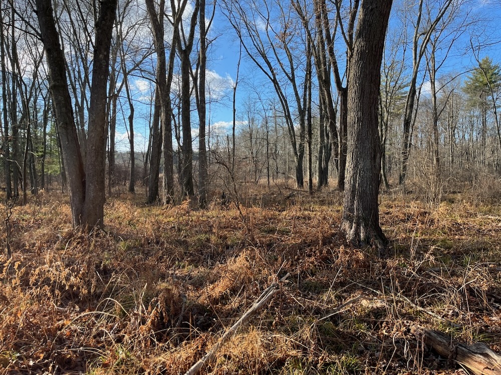
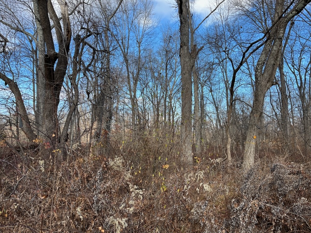
Sure, I could head back the half mile through the woods, find the trail and backtrack to my car. Or I could forge ahead, through what appeared to be ever-worsening conditions, smash my way through thickets of thorns and marsh reeds out to an active off-limits construction site, then to civilization only to terrify innocent dogwalkers, and make my way down the bike path to my car.
I chose the latter.
My goal was to keep my feet dry. This is a noble goal, though a very difficult one when bushwhacking through marshland. I followed deer paths and was reminded that deer don’t care about keeping their hooves dry. I hillock-hopped and remembered that the most solid looking hillock could collapse or bend like a wet noodle.
After a few attempts to get to where I wanted to be, I returned to the side of the owbow and faced one last decision point. I was in deep at this point. I could literally see where I wanted to go – I had tried to go to the Simsbury Concert Shell but was blocked by a pond. Now I could see the construction site due west and just needed to get through a quarter mile of who knows what to get there.
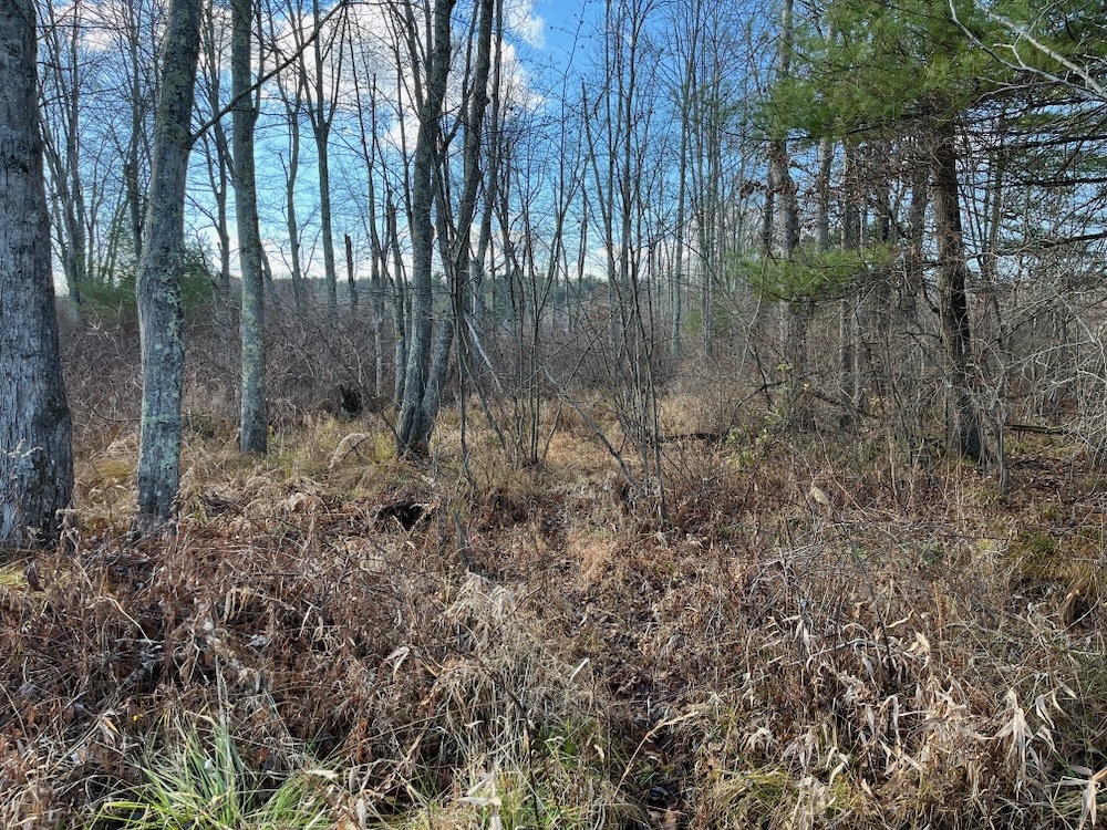
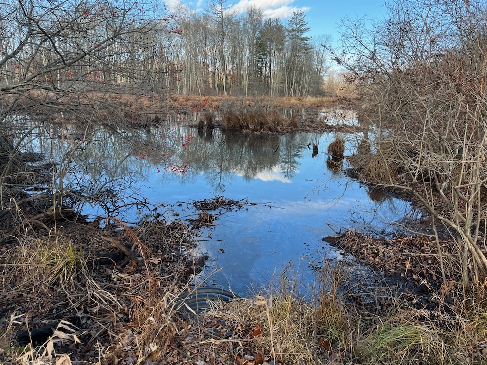
It was time to find out.
This was a wholly unpleasant experience. I was able to keep my feet dry by following a hump of land. The problem with that hump of land was that it was home to a solid stand of reeds. And when I say solid, I mean like a wall of these things. Once I forced my way in, I knew I was going to get through this. I could squeeze and shimmy and squirm my way through, heading west the whole time. What truly sucked was that thorn bushes still exist in solid stands of reeds and when you literally can’t move north or south, you can’t exactly deftly avoid wild vines of thorns.
I pushed ahead. What is wrong with me? This is what I went through:
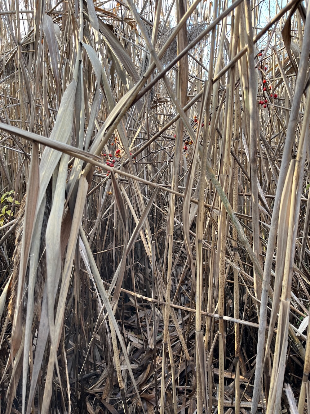
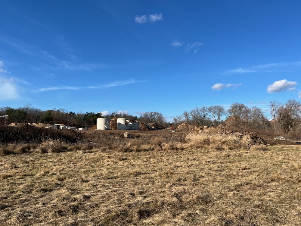
I knew I was close to the end, even though the reeds were much taller than I am. I grunted and slithered and – I made it! A few more thorns to the face and arms and I was free! My god, if anyone saw my come out of there, I can’t imagine what they would have thought. As it was, I was at the back of a construction site and no one was around that I saw.
I did have to bushwhack through some more thorns and thickets to reach the open grassy fields near the Band Shell and an elderly dog walking lady absolutely did stare at me in disbelief.
Whatever lady, I just “hiked” a loop trail through a giant marsh that is no longer a loop trail and lived to tell about it.
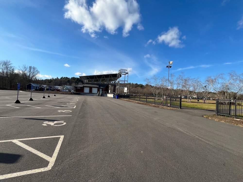
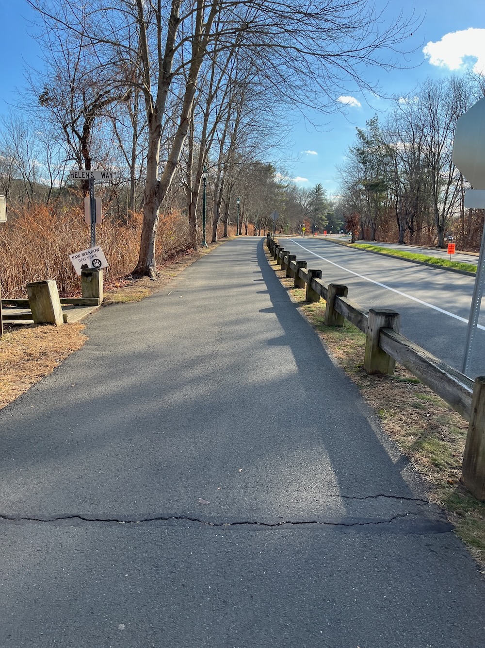
I held my head high past the crowds at the dog park, past the very active play ground, and then finished up along the bike path, passing many people. People who prefer to walk on paved paths. Otherwise known as smart people.
I don’t have to tell you not to do this. You can certainly check out the first bit, sure. It’s nice enough, but it doesn’t go anywhere. To do what I did is idiotic.
So when did this thing go to pot? I don’t know, but I’d say at least 10 years prior. The last map I could find has Andy’s Market on it. Andy’s closed in 2012. But it had been there since 1979. I’d guess this map is from at least 2000, maybe earlier. Anyway, yeah, don’t do this. Simsbury has a ton of great hikes and you really should do them instead.
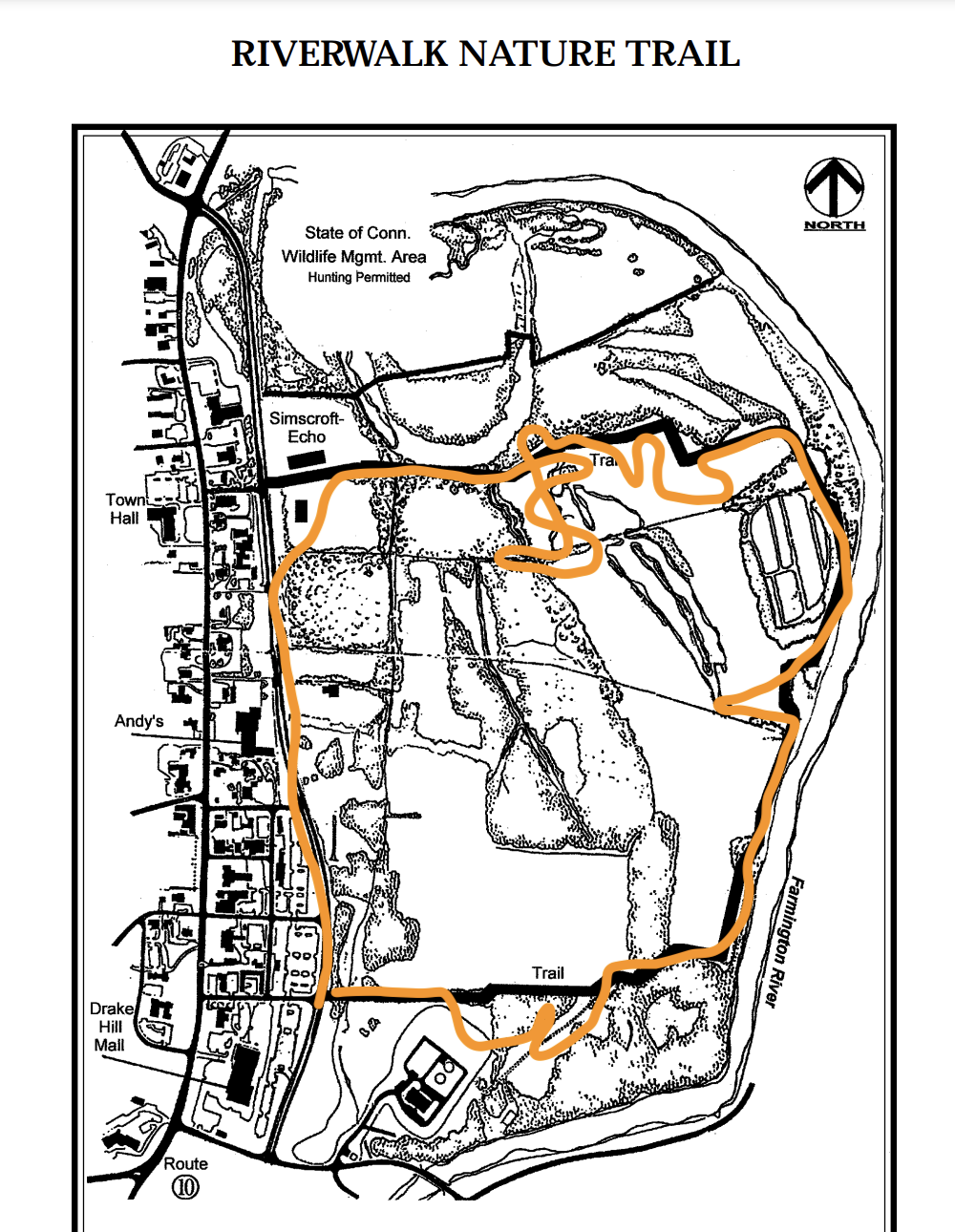
The orange path is a sanitized version of what I did

Leave a Reply