Long Skyline Drive
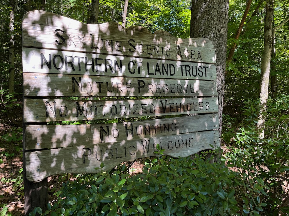
Northern Connecticut Land Trust: Skyline Scenic Area Trails, Somers
September 2023
I was pretty jazzed for this 1.5 mile loop hike up on the Massachusetts border in Somers. It promised a three-state view, some challenging granite scrambles, and Mystery Pits.
That’s right, Mystery Pits!
I love a good Mystery Pit. I parked at the trailhead on Stafford Road and stared up at the hill… I had a choice to make. This is a loop trail, and I knew going right would delay the viewpoint, so I went that way. At least I meant to.
Know this: Follow the yellow plastic diamonds first and foremost. There are a bunch of other unmarked trails here and you have safety bearings in all directions, wandering off on wrong trails isn’t the best feeling for most people. Also, following the actual blazed trail proved difficult for me.
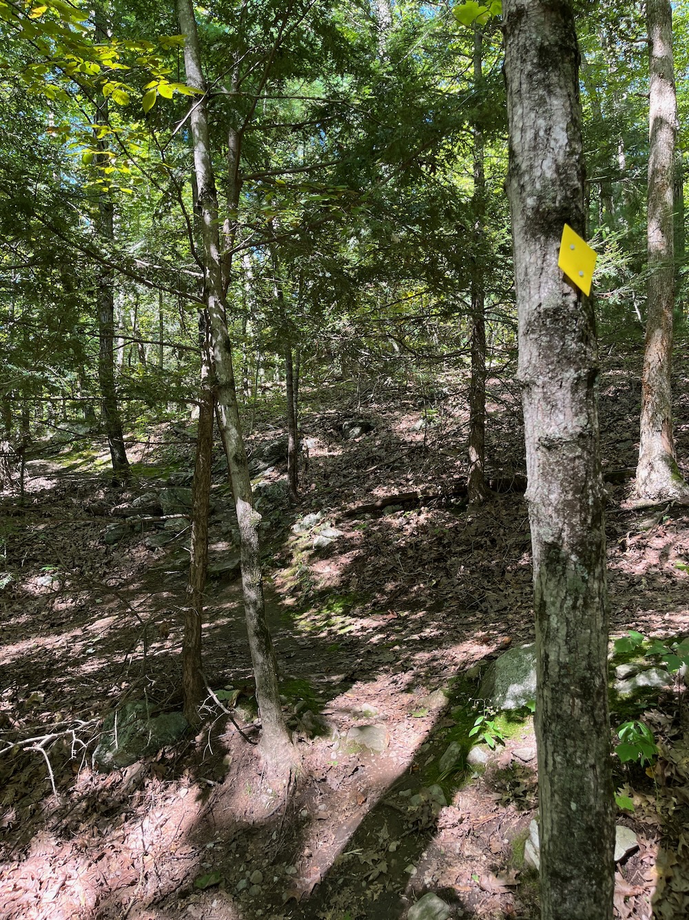
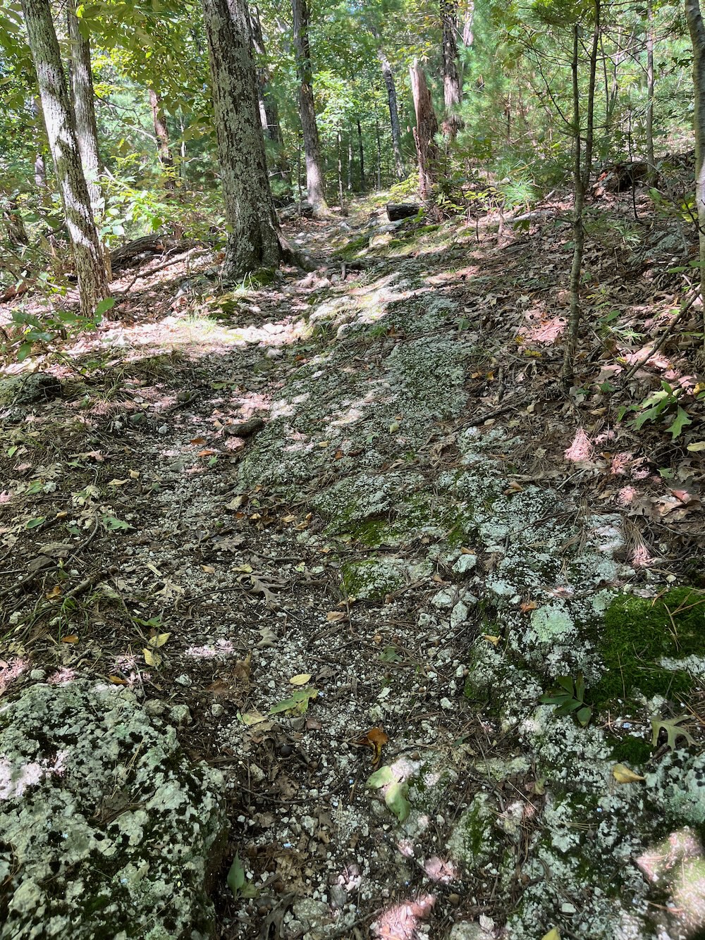
The counter-clockwise loop gains altitude fairly quickly through the hardwood forest and will bring you to a rather impressive glacial erratic. I looked at it, said, “Hm, that’s a rather impressive glacial erratic” and kept trudging straight up the hill. The trail seemed fine, and I think I did lose sight of the yellow diamond markers, but… oh, hey, there they are, continue up the hill.
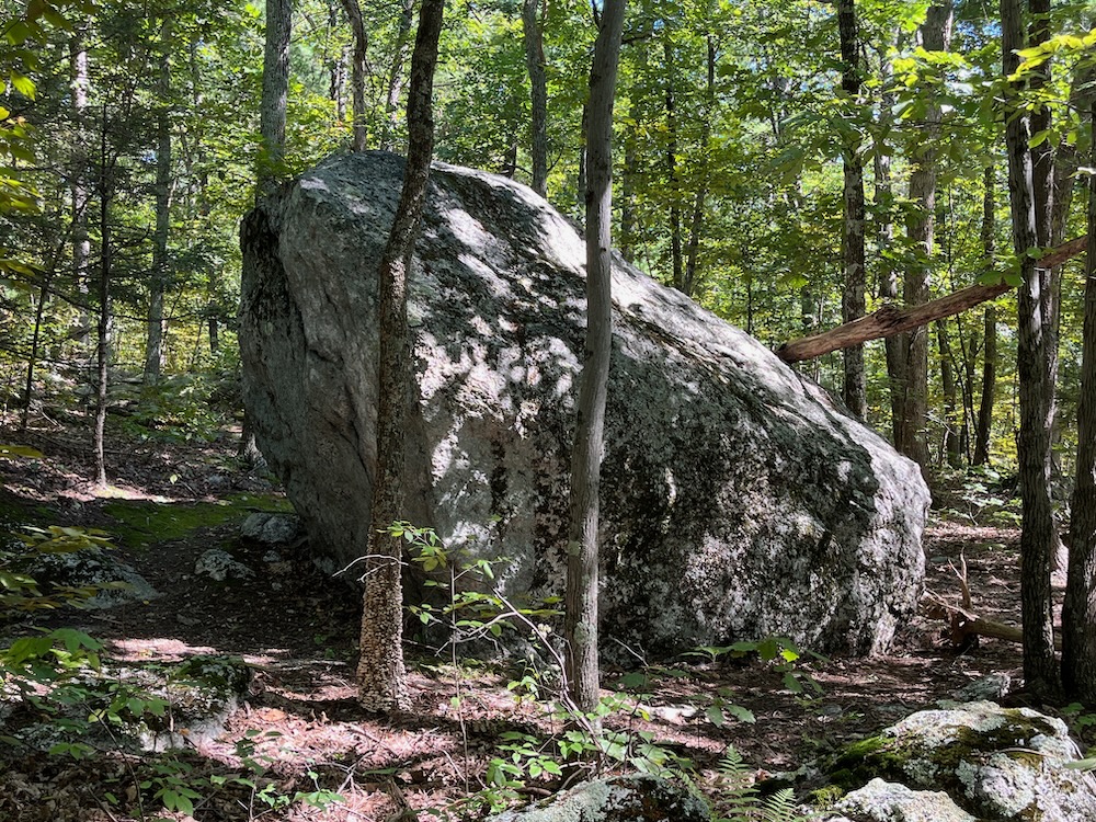
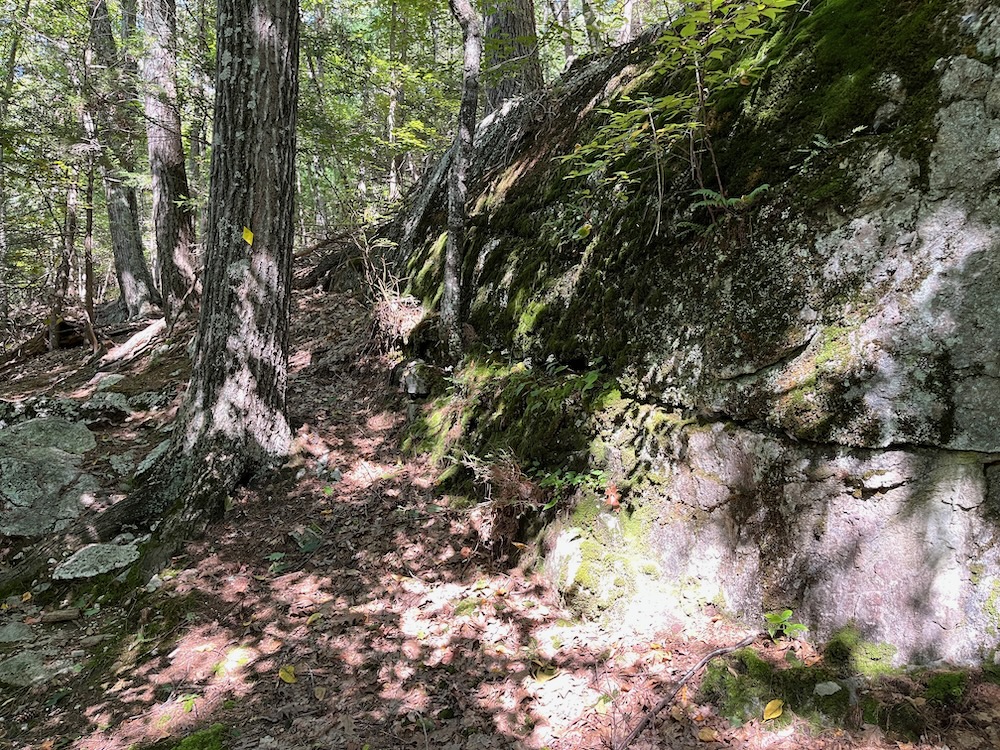
If you do this trail, it actually bangs a 90-degree turn to the east (right) at the boulder! Of course, you could do what I did and hike the same property in a figure-8 fashion, but that’s up to you. Doing so will take you past the boulder twice, and the boulder is cool:
The boulder is a biological delight since it carries a fine garden on its top and sides. Growing there are small birches, clusters of grasses, sparse flowers, blackberry vines, poison ivy, and a hanging garden of ferns. Next to the boulder is a curious oak whose trunk tightly grips its side.
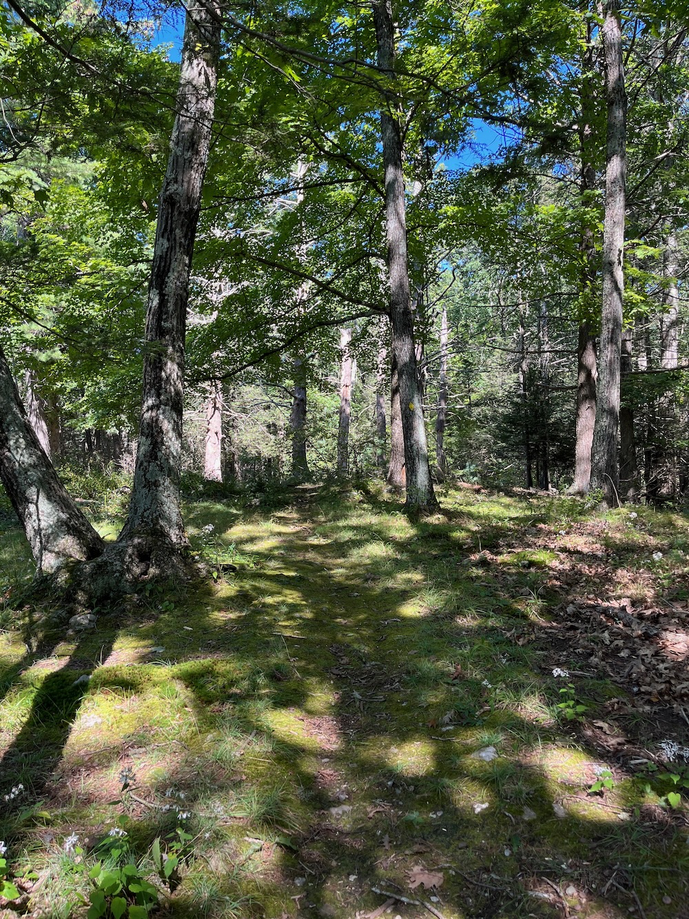
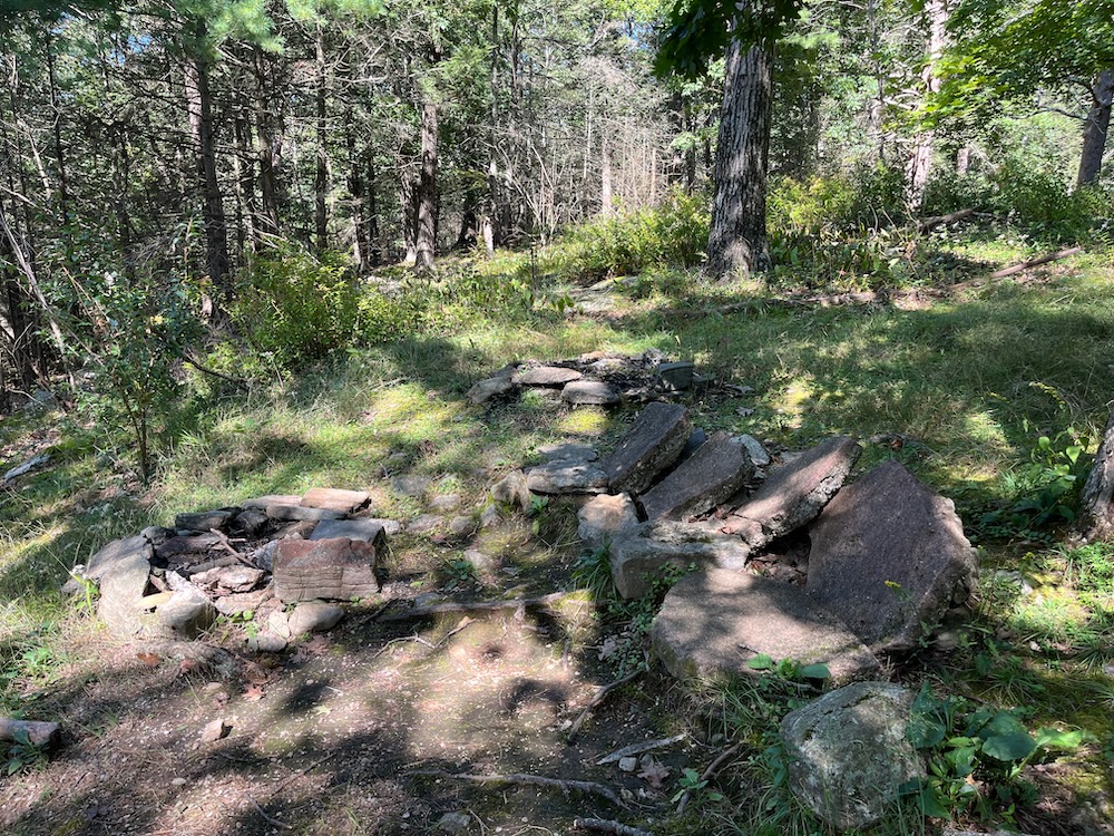
I was now hiking the loop clockwise, but didn’t really know that. I came to the viewpoint shortly after I hopped trails and here’s why I remained confused.
On clear days it’s possible to see a broad panoramic view across the Connecticut River Valley. To the south (on your left) the highest buildings of Hartford rise above the horizon. To its left are the Hanging Hills in Meriden. The Heublein Tower is a recognizable projection on the southwestern horizon. Lights of Somers prison dominate the western scene in the evening. During the day the Silo Nursery on Hampden Road in Somers makes a picturesque scene. Mount Greylock, Massachusetts’ highest peak, lies on the northwest horizon beyond Springfield. Further north the distinctive outlines of Mt. Tom and the Holyoke Range run across the Connecticut River Valley. The long buildings in front of them are on Westover Airforce Base. Mountains in Vermont are on the horizon beyond them.
Bruh. Literally none of that is true in the summer of 2023. Here is the view:
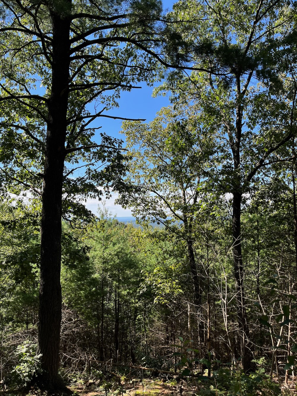
Obviously the view will be better in winter. And surely it was better in 2012 when Peter Marteka wrote this:
Visitors reach the opening in the forest canopy and a three-state view that reaches into Vermont. It’s not a clearcut opening devoid of trees. An opening to the right showcases the Hartford skyline, which on this visit looks like a city in the clouds. To the south of the city are the Hanging Hills of Meriden and Sleeping Giant in Hamden. The Heublein Tower sticks high out of the western mountains.
In the center opening is the Springfield skyline with Mount Greylock – Massachusetts’ highest point – looming in the distance. To the east is Westover Air Force Base where the sounds of C-5 military transport jets taking off and landing fill the air. The southern reaches of Vermont’s Green Mountains can be seen beyond the base.
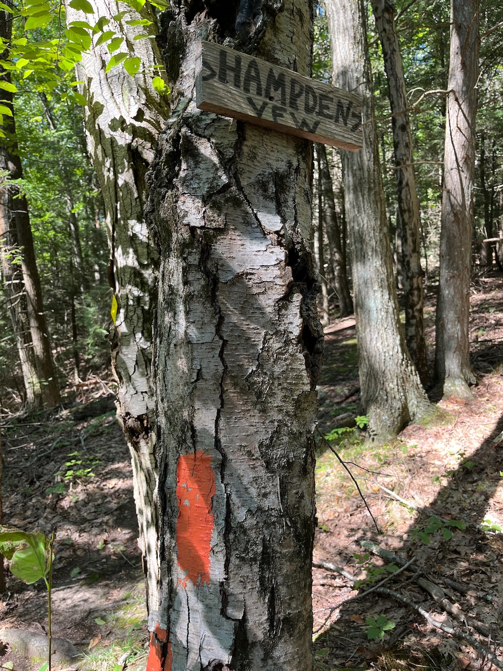
It was a different world in 2012. (I won’t get into the question as to whether clearing trees for views is environmentally ethical or not.) There’s a few little stone seats to sit in now to look at… trees.
Because my lookout experience was so poor, I wasn’t even sure I was at the lookout. And keep in mind I didn’t even know I was on the other side of the loop quite yet. I had begun to feel that I was, but I wasn’t 100% sure.
I walked on, cresting the little hill, which is a southern flank of Massachusetts’ Minnechaug Mountain. A trail heads off north with a sign saying it goes to Hampden’s VFW in Massachusetts. The sign continues to say that you can’t hike it, because it’s private property. I continued down my trail, now fully aware that I was going clockwise rather than counter.
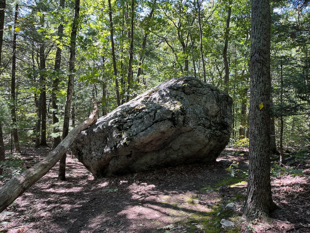
This whole side of the loop is a fairly mundane stroll through oaks, maples, and beech trees. It’s nice and all, but I came up here for a view and ledges and Mystery Pits. I had thus far gotten none of that. I turned a corner and… there’s that giant boulder again. A boulder, it turns out, that isn’t actually a glacial erratic…
Though it looks like an “Erratic” left there by the receding glaciers long ago it probably isn’t because it appears to be derived from the same rock formation beneath it.
Okay. So I’d done most of the loop. I poked around this area for Mystery Pits but decided to return up the hill to the “view” area and the hemlock grove to its northeast. That’s where I knew I’d find some Mystery Pits.
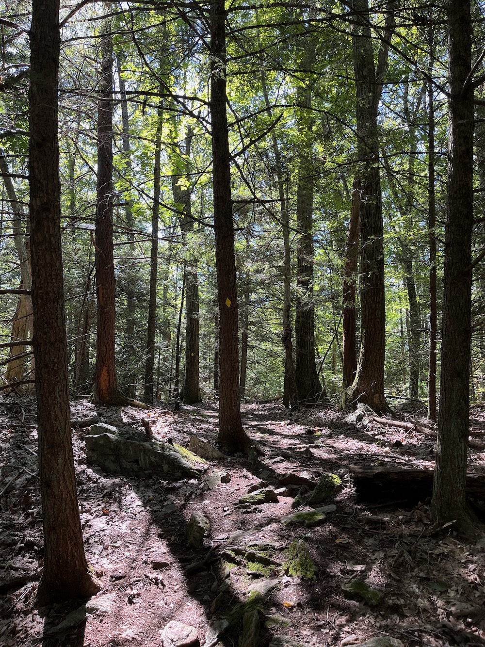
There are two groups of mystery pits near the scenic lookout. One group lies across the tote road from the boulder mentioned above. The yellow trail goes through the other group as it winds through the Hemlock grove northeast of the lookout. Thus far no one has satisfactorily explained their origin. Can you?
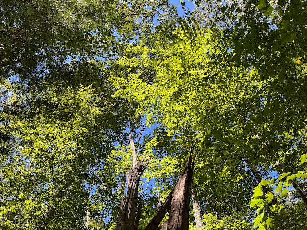
Yeah. Well, much like the nonexistent view, I found no Mystery Pits worth noting. And not for lack of trying. I canvassed the hemlock grove. I found some small depressions, but they held no mystery to me. Oh well.
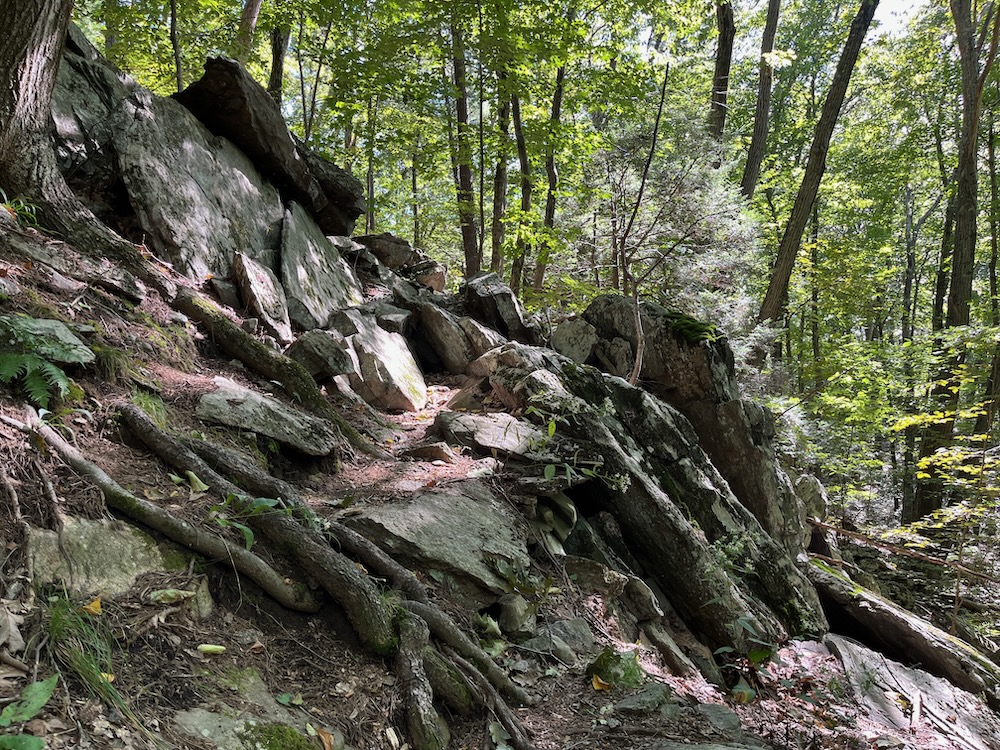
I returned back down the hill, back past the fake view for the third time, this time being sure to stay on the leg of the trail I hadn’t yet experienced – the so called “Ledge Trail” portion. This half mile section includes some steep, rocky sections that are far more rugged than the rest of this property.
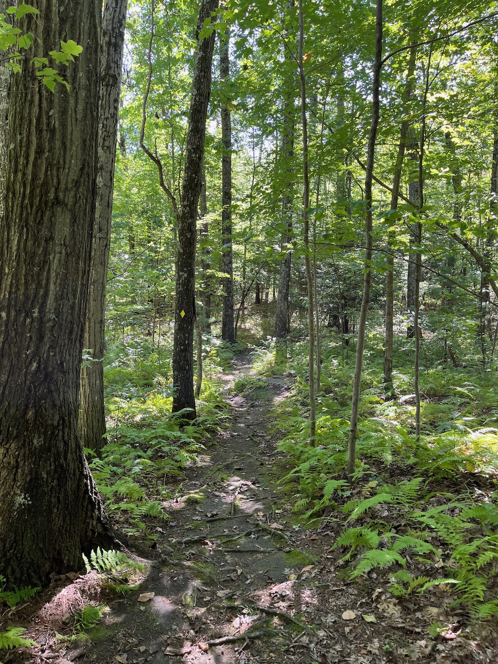
There are a couple of ledges here and some gritty rock features. Finally, something lived up to its billing here at the Skyline Scenic Area.
for the vast majority of Connecticutians, this trail requires a fairly long drive. Almost every trail is “worth it” to me, but before you come here looking for Mystery Pits and life-changing views, have a think.
![]()
Northern Connecticut Land Trust
The Mystery Pits
CTMQ’s Northern Connecticut Land Trust Page

Leave a Reply