SGSP E-W Traverse (Quinnipiac/Blue Trail) and Connectors
Sleeping Giant State Park, Hamden, ~4.5 miles total (solo)
October 20, 2012
This page is a couple of things: The completion of my Sleeping Giant State Park Giant Master challenge and the beginning of my Quinnipiac Trail hike. It’s not as confusing as it sounds; The Quinnipiac Trail begins (or ends) a mile or so east of the park at the North Haven town line. It is known as the Blue Trail within the park, traverses the entirety of the Giant himself more or less from route 15 over to route 10.
(The “first” – or last – 4 miles of the venerable Quinnipiac Trail were removed in 2016 or so. It used to travel south through Quinnipiac River State Park in North Haven, but that section was literally impossible to traverse.)
Now it officially starts (or ends) at the Hartford Turnpike Trailhead. Only completists would bother starting here though, as the first bit east of the park is fairly featureless and the parking situation is dicey. I parked on Chestnut Lane where the trail crosses it and bumbled down towards Hartford Turnpike in the pre-dawn darkness. Perhaps that’s why I think it’s featureless… I couldn’t really see any features.
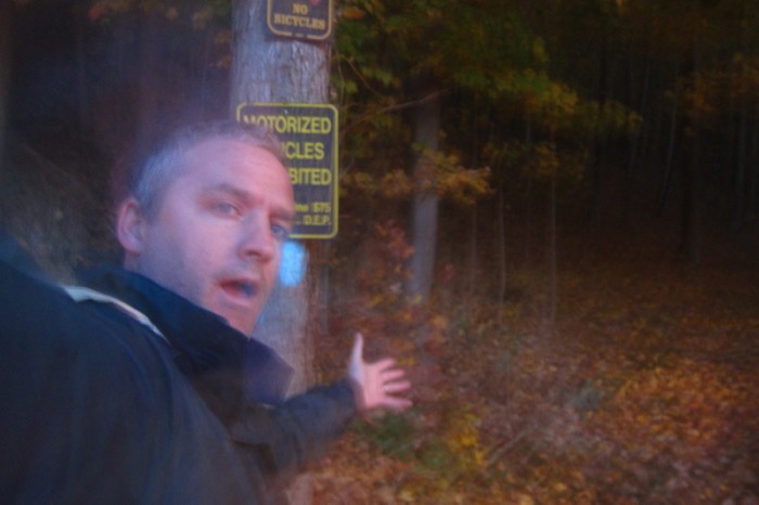
I doubled back, moved my car up to the proper hikers’s lot on Chestnut Lane, walked back down the road, found the trail and began my trek west. (Normally I wouldn’t be so obsessed with every inch of trail, but to be a Giant Master, one must do such things.)
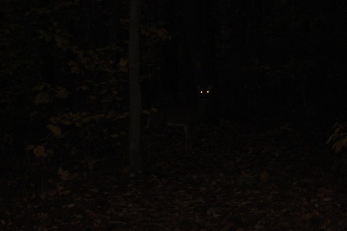
Who’s there?
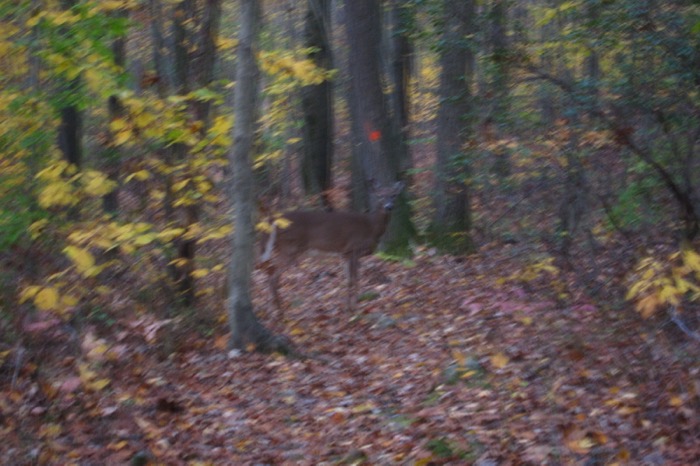
Oh. Deer.
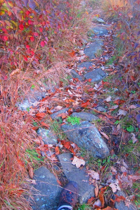
Sleeping Giant is one of the most popular state parks in the state. In the fall, tens of thousands of people cram into the park and 95% of them walk up the Tower Trail to get their view and head back home. I was there during peak foliage – October 12th – at dawn and hardly saw anyone on one of the best trails in southern Connecticut.
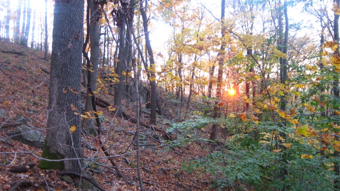
Which is fine by me. The Quinnipiac Trail intersects with almost every other trail in the park. (And there are a lot.) It is also probably more challenging than you think it is. Frankly, I was a little surprised by it myself.
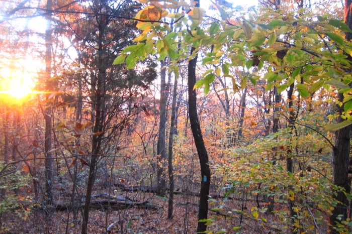
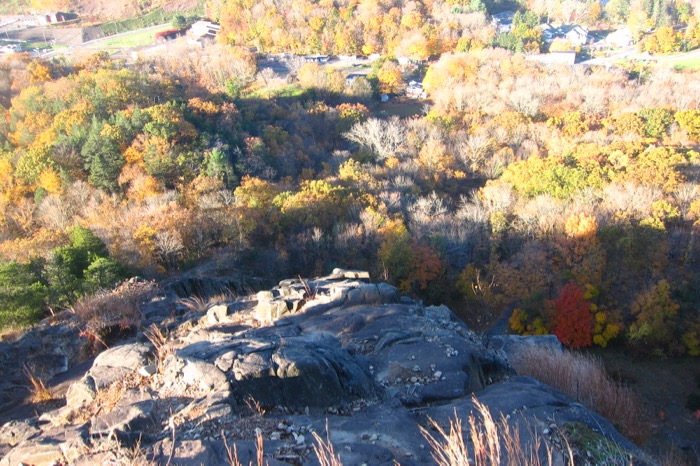
When you look at the Giant from the south – from New Haven or driving up 91, say – the Quinnipiac Trail traverses his entirety. Hiking him east to west like I did will take you up and over his right foot, left knee, left leg, left hip (where the tower is), chest, chin, and head… and lobotomy scar (the quarry). Many of these involve a steep climb, basalt talus scree, and nice views south.
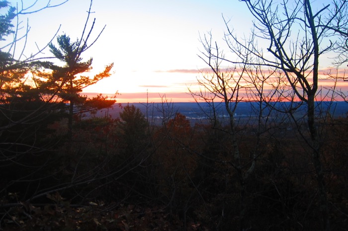
Since most of you have hiked around the park before and I’ve written so much about the place elsewhere, I’m just going to talk about some other stuff. Like, how did this place get its name?
According to Native Americans of the Quinnipiac Tribe, the giant stone spirit Hobbomock, a prominent wicked figure in many stories, became enraged about the mistreatment of his people and stamped his foot down in anger, diverting the course of the Connecticut River (where the river suddenly swings east in Middletown, Connecticut after several hundred miles of running due south). To prevent him from wreaking such havoc in the future, the good spirit Keitan cast a spell on Hobbomock to sleep forever as the prominent man-like form of the Sleeping Giant.
Cool story.

We’re lucky to have the Giant at all these days. Battles have been waged for a century. The Giant’s head used to be more head-shaped. Back back in the 1920’s, the Mount Carmel Traprock Company blasted the back of it away for their quarrying operation.
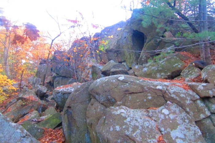
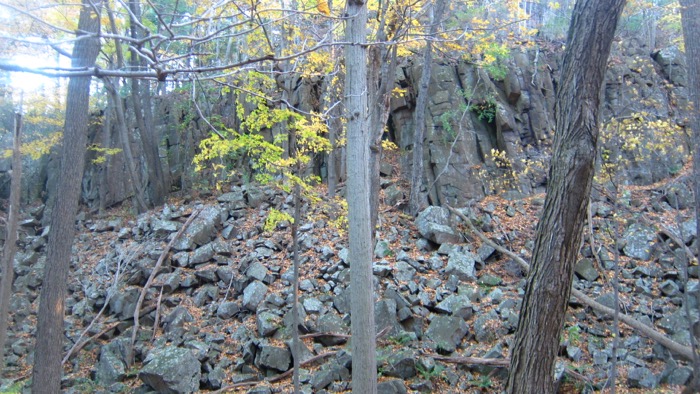
And people got mad. So mad, in fact, that they were somehow able to raise $30,000 during the Great Depression to purchase the land to protect it. Several other threats have been posed over the intervening years, but the Giant somehow survives.
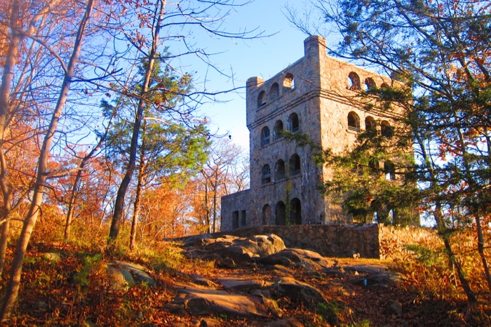
He even survives the influx of visitors during the fall. As I said, hiking at dawn gave me solitude, but as I approached the popular tower, fellow humans began to appear. I know it’s not a unique phenomenon, but this park has over 30 miles of well-maintained and blazed trails. About 27 of those miles are unseen by probably 99% of the park’s visitors.
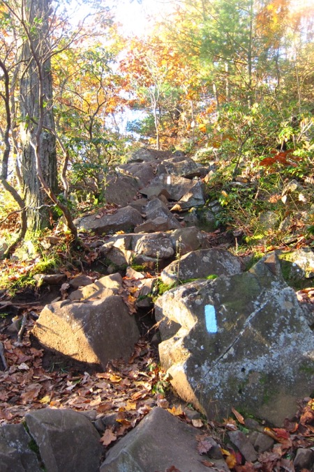
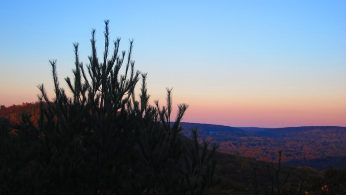
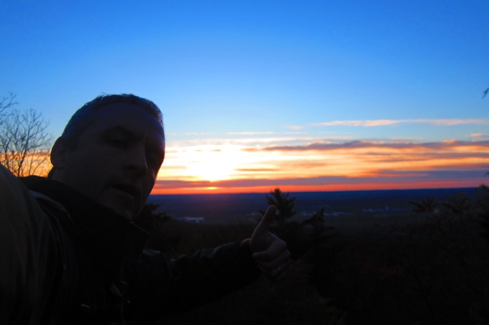
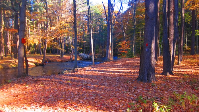
And I’m fine with that. In fact, I rather love that. But at the same time, I feel like so many capable people are missing out on so much here. The views along the trails east and west of the tower are often stunning – and more peaceful. Hezekiah’s Knob is a great spot… and there are others. All the pictures on this page are from the Quinnipiac/Blue Trail on the Giant. I was screwing around with some sort of filter which is why a lot of the pictures look a bit artificial.
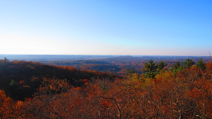
I think I was so enamored with how pretty the sunrise was and bummed that the standard pictures weren’t conveying that. (This was a little point and click digital camera, not a phone.) Forgive me. And in reality, it was this pretty.
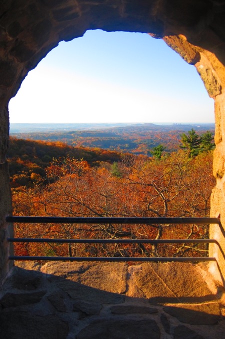
The Sleeping Giant Tower is perched 739-feet above Hamden and has an interesting history. Here’s my page all about the tower itself.
I hung out at the top for a bit and then resumed my hike west along the Quinnipiac. As with other hikes here, I was the outlier taking a rocky and steep trail from the tower rather than the graded Tower Path.
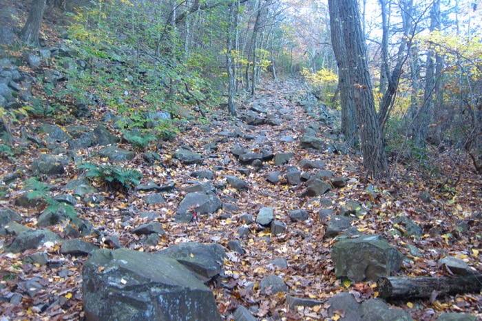
The trail descended into the valley between the Giant’s left hip where the tower is and his chin. (Don’t despair anatomy fans, there is a chest in between which you can access via the green and/or white trails.)
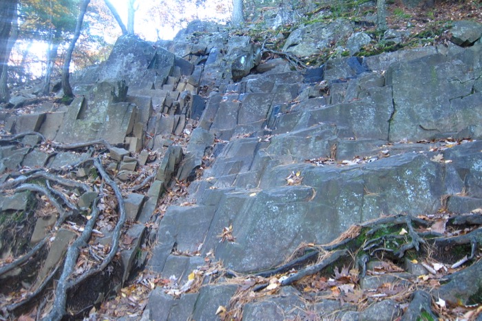
The climb up the chin is steep. But like all steep climbs in Connecticut, it is short. I’d done about 5 miles of hiking at this point, so I was still fresh and able to bound up the rocks and rockfaces to reach, finally, the Giant’s head.
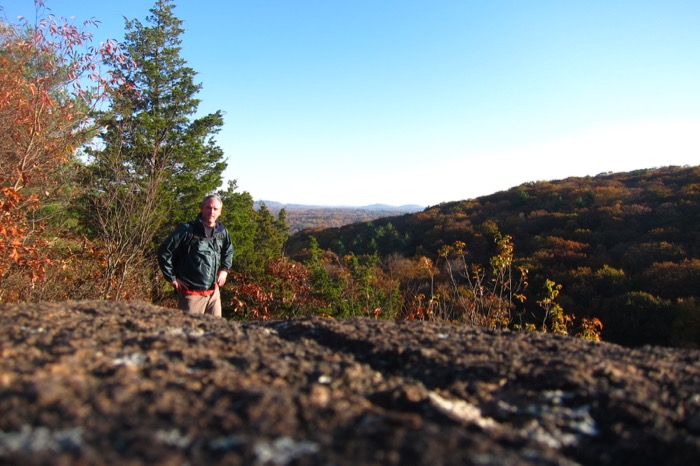
Bear in mind this was my 5th hike at the park to complete every inch of every trail. Add to that the few times I’d been here during pre-CTMQ days. And yet, I’d never been on top of the Giant’s chin or head before. Only the Quinnipiac/Blue trail goes up here, and I guess I never thought to check it out before.
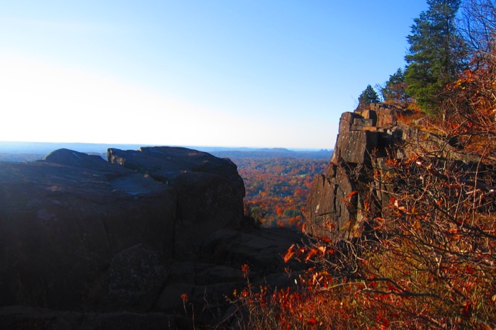
Which makes me feel dumb. it’s great… and humbling and angering at the same time. The views are fantastic and it’s just wonderful being alone there knowing that there are literally hundreds of people a mile away at the same park. I like solitude with my views.
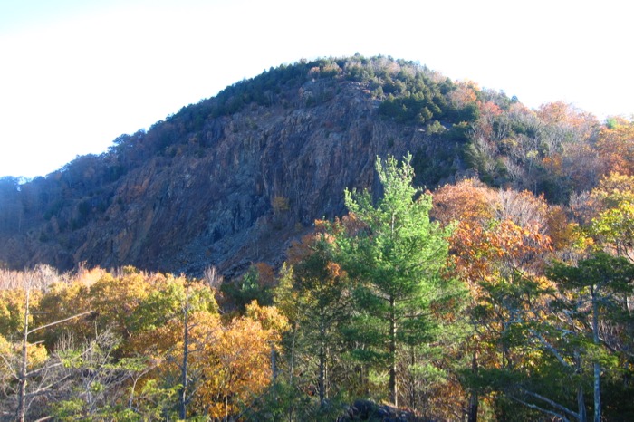
Once on the head, though, you can also see the effects of the century-old quarry. They literally tore off the back of the Giant’s head. Granted, if that never happened all we’d have is a rounded back of the head I guess. And the quarry does give the park a sort of historic panache – AND it could be argued that it was the quarrying that spurred people into action to protect this place as a state park.
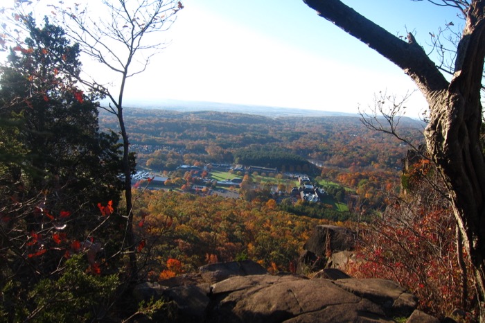
I waffle on the quarry.
But I don’t waffle on abject stupidity:

When you’re stupid enough to carve graffiti into stone on top of being stupid enough to read Infowars, please just go away. (In my younger years I’d have said something like “I hope they fell over the edge,” but now I’m much kinder and gentler in the face of an angrier and meaner America.)

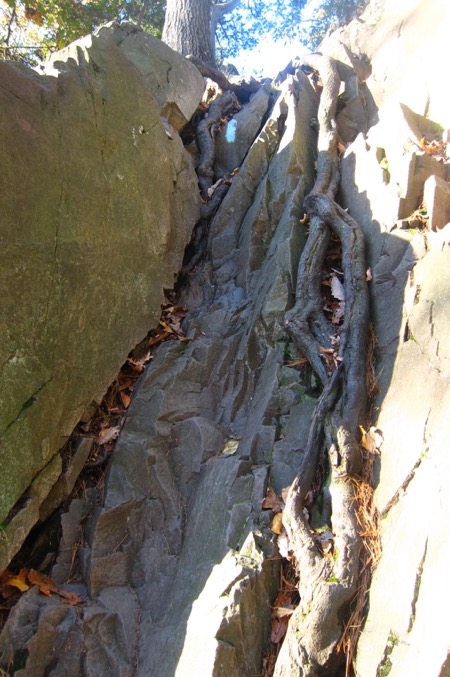
The hike down from the head to the picnic grove and the Mill River is pretty intense. I was rather shocked by its steepness. It’s literally one of the steepest decent stretches of any trail in the state.
The rockfaces are worn smooth here too; Mt. Monadnock smooth. So many, many thousands of hikers have ascended the head over the last century.
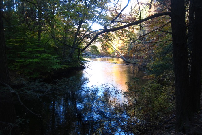
Once to the bottom, the Quinnipiac trail crosses the floodplain, then the river via Mt. Carmel Road, back into the pine grove and out to route 10 on its way up to Rocky Top and the Quinnipiac University sports complex.
At this point, I was only halfway done as I had to turn around and hike all the way back across the park to my car on Chestnut Lane. No, I didn’t go back via the same trail. I must admit that I took the shortest and flattest route – the yellow trail.
Which, incidentally, was the very first trail I hiked here for the purposes of CTMQ and becoming a Giant Master. You all know I love to close circles properly.
And that was it! I had become a Giant Master! I had begun the CFPA’s oldest trail! I had walked every inch of every blazed trail in Sleeping Giant State Park!
And I was home before lunch. Well done, Sleeping Giant Park Association and all the tireless volunteers that make this one of the state’s best state parks. A hearty thank you to you all!
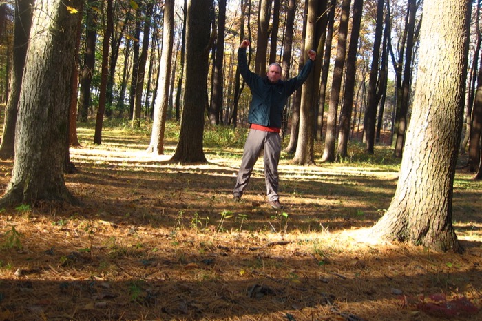
Giant Master!
CTMQ’s Sleeping Giant Hikes
Sleeping Giant Park Association
Sleeping Giant State Park map

Leave a Reply