SGSP N-S Traverses (5 Red Trails & The Nature Trail)
Sleeping Giant State Park, Hamden, ~9 miles total (solo)
July 17, 2011
I’m dumb.
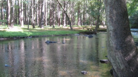
The Mill River along the Red Triangle Trail
No, I’m not dumb for setting out to hike all 5 up and down red trails on a blisteringly hot and humid July day. And no, I’m not dumb for having written this page already but accidentally deleted it all.
I’m dumb for waiting too long to write about my hikes in the first place.
Fortunately, I took a bunch of pictures (most you’ll not endure) to help guide me in reconstructing my day in the woods on the flanks of the venerable giant.
This is important (to me, and maybe 3 other people out there) because completing the red trails in one morning solo (and with one car) is logistically somewhat complicated. But for me, and those like me, that’s the fun part of the challenge; almost as fun as the hiking itself.
I ended up with what I believe to be the most efficient way to do this. I’m actually sort of proud of my plan – so proud, in fact, that I will now tell you how to do it as well. (This is the oddest, most OCDest form of bragging ever, by the way.)
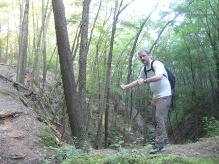
At the top of the Gorge, on the Red Circle trail
All 5 SGSP Red Trails (Plus Nature Trail) With One Car In One Morning:
1. Park at pull-out on Mt. Carmel Ave at Red Square southern terminus
2. Road walk west to Red Circle southern terminus
3. Hike Red Circle S to N
4. Hike Horse/X-Country ski trail NE to Red Square N terminus
5. Hike Red Square N to S (where you left your car)
6. Drive a short way W down Mt. Carmel Ave to where the parking on right becomes legal. Park.
7. Road walk back east to Red Triangle S terminus
8. Hike Red Triangle S to N
9. Road walk SW on Tuttle Ave to where an unmarked trail heads into park on left
10. Hike unmarked (but very clear) trail S, across Violet Trail to Red Hexagon
11. Hike Red Hexagon S 100 feet to Tower Trail, turn around and hike it N to N terminus.
12. Turn around and hike (what becomes the) Red Diamond to S terminus
13. Go E, cutting through main entrance/lot and do Nature Trail loop
14. Hike up Tower Path to 3rd bend and then hike Red Hexagon S to road
15. Your car should be within sight.
Now, you can do all this skipping the Nature Trail (which is part of the requirements of the Giant Master program), but you’ll have to hike up the Tower Path at #13 instead to the 4th bend and pick up the little bit of Red Hexagon you’ll need before heading back down to you car per #14.
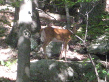
Hike at dawn and you’ll see more wildlife. I promise.
Got all that? Good. It works out to maybe 10 miles (9 miles without the Nature Trail) in total, but many of those miles are up and down. Such is the nature of the Red Trails. Think of them as a vivisection of the Giant; slicing him up five times across his lounging body and as such, you must climb his flanks four times (Not so much on the Red Diamond). I’ll admit, when I was on earlier Giant hikes and I would cross the red trails and see them descending steeply off the ridge lines I’d think, “man, those don’t look like fun.”
It can be slightly daunting.
And on top of that, there are no views at all. That’s right, 10 miles of hiking through Sleeping Giant, a park with some of the most stunning views in the state, and you get nothing. Nothing in terms of views, that is. You’ll get a good work out. You’ll see parts of the Giant that relative few ever see, as I’d imagine the red trails are probably the least-hiked trails in the park. Sure, you’ve all hiked at the park, but have you seen everything?
But mostly, you’ll get to say you did all the red trails in one day all by yourself. As efficiently as possible.
And for that, you will feel great. Really and truly. Really. Great. Let’s get to the hiking!
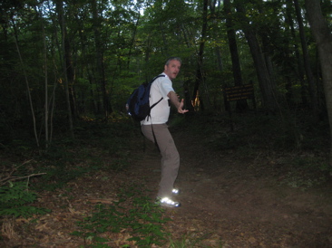
This is what a 39-year-old man looks like at 5:30 AM at the beginning of a hike. Sigh.
Red Circle, 1.9 Miles, South to North
The CFPA Walk Book says, “The Circle Trail uses much of the old Dickerman Carriage Road on its climb up the south slope. Passing below the cliffs of the right knee, it goes down the north side along the banks of the brook that drains the Inner Mountain Valley, passing through laurel, hemlock and beech. It continues along a delightful stream, descending over mossy rocks and eventually down a series of cascades through a 50-foot deep gorge.”
Wow. That sounds positively beautiful! And I’m sure it is – in the spring after some snow melt or rains. However, in the middle of July, those cascades were nearly dry and the stream was completely dry in places.
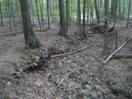
Yeah. Not so lovely.
I started this, the longest of the red trails, very early in the day; right around sunrise. Therefore, the searing heat that was to come later in the day wasn’t a bother yet. And that was nice, especially when sections of the trail entailed picking through the Giant’s discarded chunks of basaltic rock, like this:
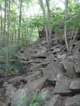
Sorry for the vertical pictures…
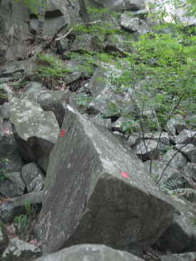
… But this was 2011 when I didn’t know any better
Even though tens of thousands of people visit the Giant every year, and most of them see the sheer cliffs of the head and stuff, I’m willing to bet that these two pictures of the Red Circle are somewhat surprising to some of you. Yes, this is a trail at Sleeping Giants and yes, you do have to scramble over boulders.
This trail slices the giant right below his crotch. Yes, that’s right, his crotch. Hey, if he’s got knees and hips and a chest, he has to have a crotch, right? I can’t say I saw any crotch-like attributes along the Red Circle, but I really wasn’t looking too hard. Maybe later on the Red Triangle…
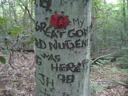
It’s fitting he visited the crotch.
The “Cascade Gorge” is sort of unique to Sleeping Giant, as there is really nothing else like it in the park. It seems to appear out of nowhere and again, after some hard rain I’m sure it’s really cool. For me, the coolest part of the Red Circle was the northern end.
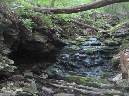
A bit lovelier
Across Tuttle Avenue is a horse farm and it’s beautiful. At least it is at 6AM on a Sunday in July with no traffic and no other people around. It was serene and, well, just nice to relax for a moment and take in the scene before heading back into the woods.
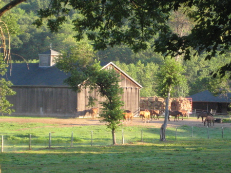
Just me and the horses… And 4 more Red trails to hike.
Horseback/X-Country Ski Trail crossover, ~3/4 mile
I just wanted to show the intricate trail blazes someone has to re-do every year or so.
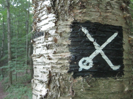
You don’t technically have to hike this trail to be a Giant Master
Seems like there could be an easier blaze. But I like it.
Red Square, 1.6 Miles, North to South
After the 3/4-mile or so traverse of the x-country trail and a 40 second hop, skip and jump back out to Tuttle Avenue to get to the official red square trailhead, I began hiking south on what turned out to be my favorite of the SGSP red trails.
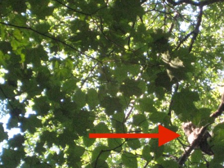
The sun was now above the horizon, but the nocturnal animals were not yet in their homes. I heard rustling above my head and – could it be? – yes! An honest to goodness real life barred owl! I took two terrible pictures, neither of which shows him in all his glory, but whatever. I got to see him fly above me a couple times and I was happy.
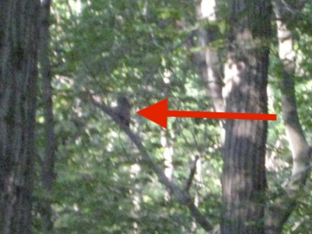
Shortly after the owl, I found myself in a forest of blueberry bushes. I LOVE blueberries and had no qualms about relaxing here for a while, just picking and eating. Eating and picking.
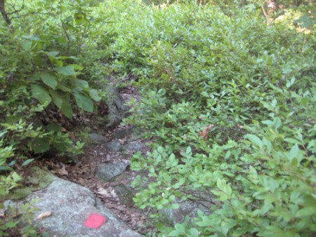
Always…
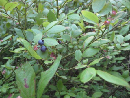
Eat the…
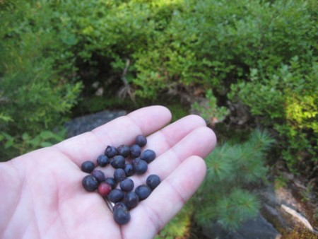
Blueberries!
The Walk Book notes that the Red Square traverses the Giant “just east of the knees.” It just misses Hezekiah’s Knob, and is pretty steep in places. it’s really a trail that no one would do end-to-end unless one is trying to become a Giant Master.
And that’s a bit of a shame, because I enjoyed it very much. And before I was done with it, I saw…
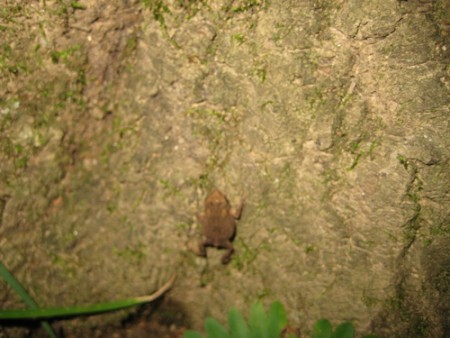
A toad! Okay, that wasn’t exciting. But then I saw a…
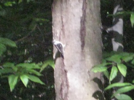
Downy Woodpecker!
Yeah, the red Square ruled.
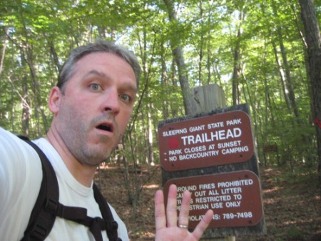
Red Triangle, 1.1 Miles, South to North
I must admit, I haven’t much for you regarding the Red Triangle. I could write some riff on how it’s really the Red Pyramid and is maintained by the Illuminati, but I don’t usually mess about like that on my hiking pages.
The CFPA Walk Book merely notes that this trail, “is the belt across the waist and has some steep climbs on both the north and south sides.”
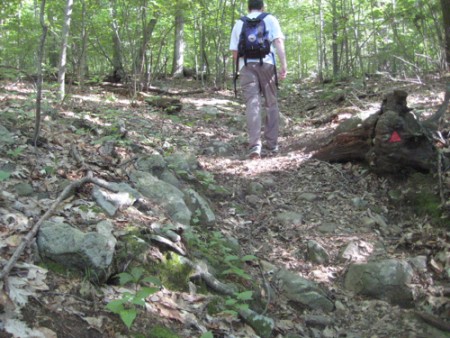
Triangle Trail
Well, yeah. It’s also sort of annoying because its southern terminus is too close to the park entrance to have its own little hiker’s lot and its northern terminus, I think, also has none.
BUT, bonus: It’s the red trail that comes closest to the tower. (By the way… if this trail is the “belt” and therefore is the Giants waist that sort of makes the tower his… you figure it out.)
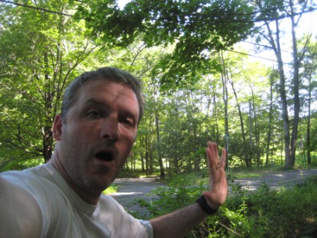
Red Triangle northern terminus
Anyway, I just plowed through this trail, checking off each of the seven E-W trail crossings as I made my way north to Tuttle Avenue. I just looked at a bunch of pictures from it and – there’s not much there. Though that deer at the top was on the Red Triangle.
Unmarked trail from Red Triangle to Red Hexagon
I only include this to restate that these unmarked, but mapped, trails at Sleeping Giant are totally safe to hike and rely on. I mean, look:
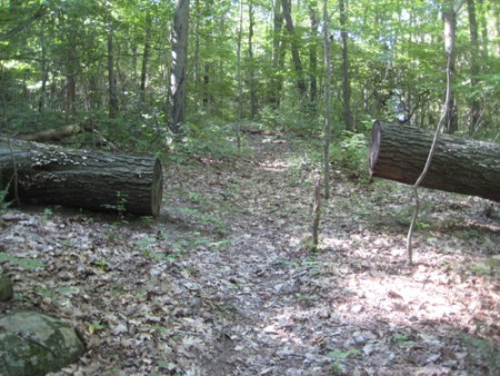
There is a high-level of trail maintenance going on here… on an unmarked trail. I was impressed to say the least.
Red Hexagon, 1.1 Miles, North to South
This is a tough one. If you recall from my insane hike-order above, I actually completed the Hexagon in two (or three) parts, depending on how you count. The unmarked trail took me to the Hexagon… oh you don’t care. Here, I’ll pretend it did it north to south in one go.
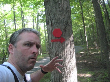
Not sure what this pose was about
The Hexagon shares some space with the Red Diamond, the Nature Trail, and the Tower Trail. As such, it probably gets lost in the mix. It is also probably used as a short cut for savvy Tower Trail hikers in spots as well.
And I wish I was here to stand up for the mighty Hex! Give it its own identity! Give you cause to purposely go to the park and hike the Red Hexagon, ignoring all the white and blue and Tower Trails that lead off to more interesting looking places from it!
Here’s a tiny barber shop on Tuttle Avenue.
Alas, I cannot. It starts along the Mill River with the Red Diamond up near the Tuttle Avenue/Whitney Avenue intersection. It’s flat there. Then it heads east and climbs 500 feet, in earnest, up to the Giant’s chin area and the Tower Trail, very near its intersection with the Quinnipiac (Blue) Trail.
Down the Tower Trail for a bit, then the short-cut and some time with the Orange and Nature Trails, some more Tower Trail time, and finally, a short little spur down to Mt. Carmel Avenue and its southern terminus.
Phew. One more red trail!
Red Diamond, 0.7 Mile, North to South
Some people would argue that the Diamond is the best of the red trails. It’s the shortest and the flattest AND passes near the former quarry, which is inarguably cool.
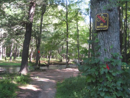
Poison Ivy is bad
From the wide and flat road trail along the Mill River at the northern end, the Red Diamond follows the river for a bit before edging over towards the abandoned quarry area. This trail only climbs maybe 100 feet in total over its entire length.
The quarry is fairly daunting, and I poked around it for a little while before continuing southward. If anything, I imagine lots of non-Giant Masters meandering down this flat riverside path looking up at the quarry ridge, realizing the Quinnipiac (Blue) Trail goes straight up to it, and exclaiming, “holy crap.”
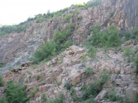
The quarry from the Red Diamond Trail
The trail passes some abandoned concrete storage facilities, returns to the Mill River, and ultimately ends up at that mess of purple, blue, and diamond trails near the main park entrance.
Nature Trail, 1.5 Miles
From the parking lot, I did the Nature Trail. I did not give it the attention it deserved, because I always figured I’d return to do it with my sons properly some day. Well, now that its been four years since I hiked it with the red trails, I don’t feel like waiting any longer.
I mean, I did hike the whole Tower Trail with them, so I figured that was pretty good for my boys.
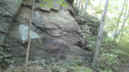
The nature trail is cool and its well done. It follows portions of the yellow, Tower, Red Circle, and Orange for about 85% of its length. At one point, there is this crazy part where the Nature, Orange, and Tower Trails are all within 20-feet of each other, but are separate. Such is life at the Giant I suppose.
Wrap-Up
Hiking the Red trails at Sleeping Giant affords visitors different views of the park. The gorge, the quarry-from-below, the blueberry forest, the rock scrambles. I won’t pretend that everyone will love these five unheralded trails, but I would definitely encourage you to check them out.
Well, I’d also encourage you all to join the Sleeping Giant Park Association and become Giant Masters, but I know that isn’t as exciting to everyone as it is to me.
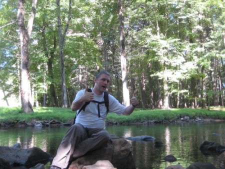
Finished with the red trails!
CTMQ’s Sleeping Giant Hikes
Sleeping Giant Park Association
Sleeping Giant State Park map

 Twelve Mile Circle says
December 13, 2015 at 9:20 pmI completely understand.
 Theresa says
July 6, 2023 at 9:51 amI just want to go and do this hike with you now! Or ANY hike with you! What a great post! :)