Jamesy-Pie
Simsbury Land Trust’s James Property, Simsbury
October 2015
My younger son Calvin has a friend named James and he calls him Jamesy-Pie for some reason that no one can explain. It is not said as an insult; it’s actually used endearingly the best as I can tell, and Jamesy-Pie doesn’t mind it.
Hiking the Simsbury Land Trust’s James Property is as easy as (Jamesy) pie. But I’d guess that not too many people only hike the James Property out and back, for it connects to the Metacomet Trail north of Bloomfield’s Wilcox Park and south of the Farmington River crossing in the Tariffville section of Simsbury.
This is a very exciting part of woodland Connecticut to me. Between this and other SLT properties and trails, as well as some Bloomfield properties and trails on the other side of the ridge, I can go on a lot of really cool hikes mere minutes from my house.
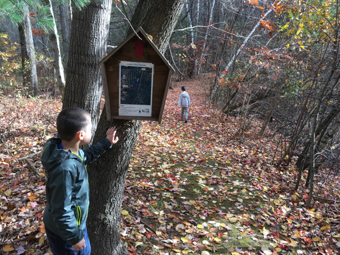
The 9-acre James property provides access via a short unblazed trail to the Metacomet Trail section of the New England Trail, the blue-blazed national scenic trail along the eastern traprock ridge line. Trails along the old dirt roads on the James property also connect to off-property trails in the transmission line corridor that runs parallel to the ridge line at a lower elevation. The eastern traprock ridge creates an unusual variety of distinct habitats which support a number of state-listed uncommon, rare, or endangered plants and animals. They also provide exceptional hiking opportunities and spectacular views of the Farmington Valley. The trails through the transmission line corridor offer a more open hiking experience. Vegetation management in this corridor has created valuable thicket habitat used by many species of wildlife.
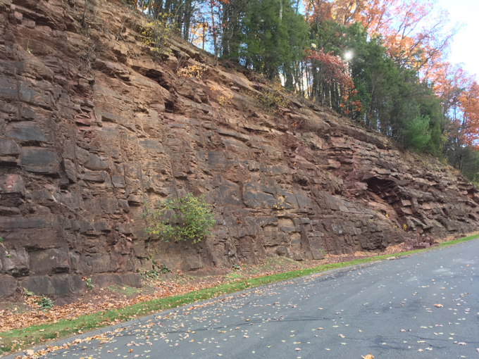
The trailhead is on Metacom Drive, past the cut through into the cliff. If any geology teachers are reading this and you’re looking for a nice place to teach the kids about the Metacomet Ridge basalt features, this is a good place to start. It’s also a good place for the trail to start, avoiding the huge homes (with views!) up here and heading straight into the woods.
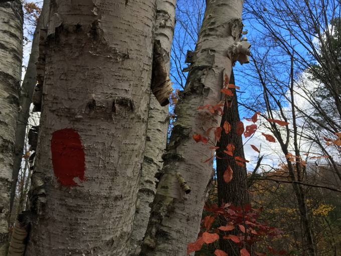
The red-blazed access trail from the road actually isn’t even in the James Property. It’s just an easement to get there. The boys and I made relatively quick work of the trail, despite some overgrowth here and there.
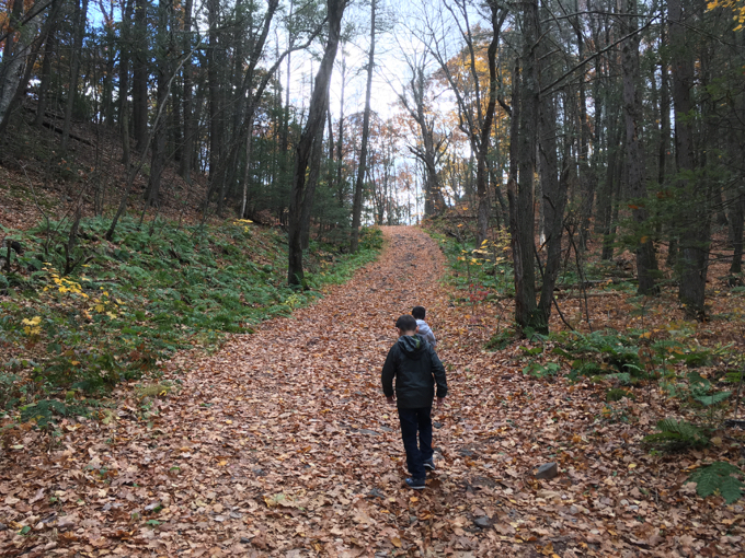
Once into James-land, the trail becomes a dirt road. Heading left (north) leads to… I’m not sure, but I’d guess civilization. There are lots of power lines and transmission stations (or whatever) around there, and I think these roads are for access.
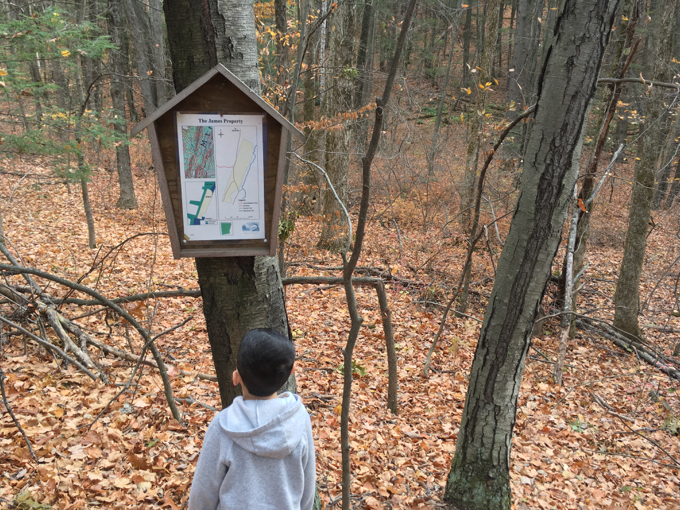
We headed right (south) and uphill. There’s just nothing like hiking through a deciduous forest in the middle of October in New England. I love it. And the boys seemed to enjoy themselves here as well. Even if there’s really no payoff at all.
Well, there is a view, but it’s down the power line cut, so it’s a bit imperfect.
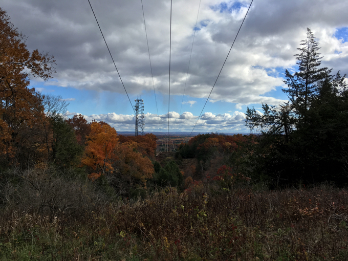
Also, of course, you could continue to the Metacomet Trail and hike to one of the approximately 500 other viewpoints of the Farmington River Valley and beyond.
For us, we hit the Bloomfield border and the mighty blue-blazed trail, took this picture –
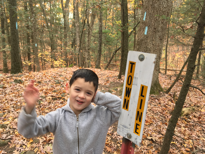
– and descended back to our car.
Please know that I love the Simsbury Land Trust and the purpose of this property and trail is not necessarily to do what we did as described on this page. As I mentioned, you can use this hike as a jumping off point for several awesome and much longer day hikes north or south.
![]()
Simsbury Land Trust
CTMQ Hikes Simsbury Land Trust’s Trails

Leave a Reply