Late Fall in Somers
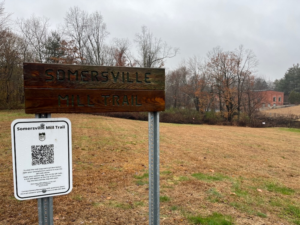
Somersville Mill Trail, Enfield & Somers
November 2023
My wife has asked me on occasion if I remember every trail I hike for this website. For years, I’d confidently answer “yes.” In fact, my hubris was so great that I would claim that I’d know on which trail any given picture was taken.
This boast, of course, is ridiculous. Especially now, 17 years and a thousand trails into this project.
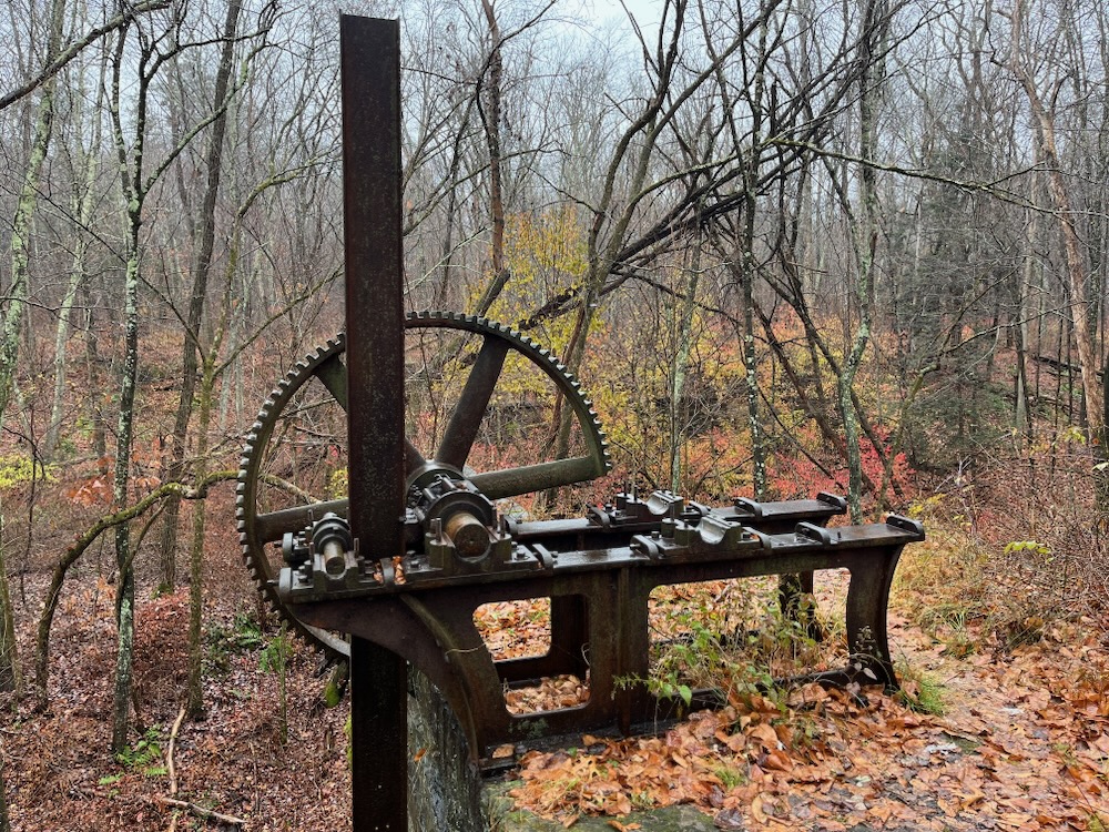
What I’m trying to say is that I almost didn’t remember that I’d seen portions of this trail six years ago. In my defense, Scantic River State Park has one of the most confusing trail systems in the entire state and since the Somersville Mill Trail is a “Town of Somers” trail, I wasn’t thinking there’s be much crossover. Also, I’d been here in snow and came from a different direction. In the end, yes, I remembered I’d seen the dam and factory remains before, but it did take me a second.
Lastly, I’m getting older and, well, these things happen.
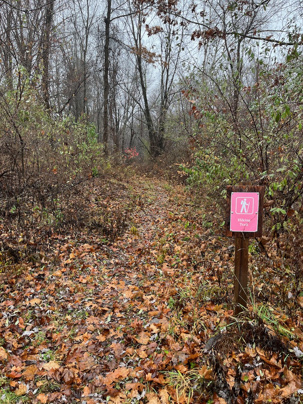
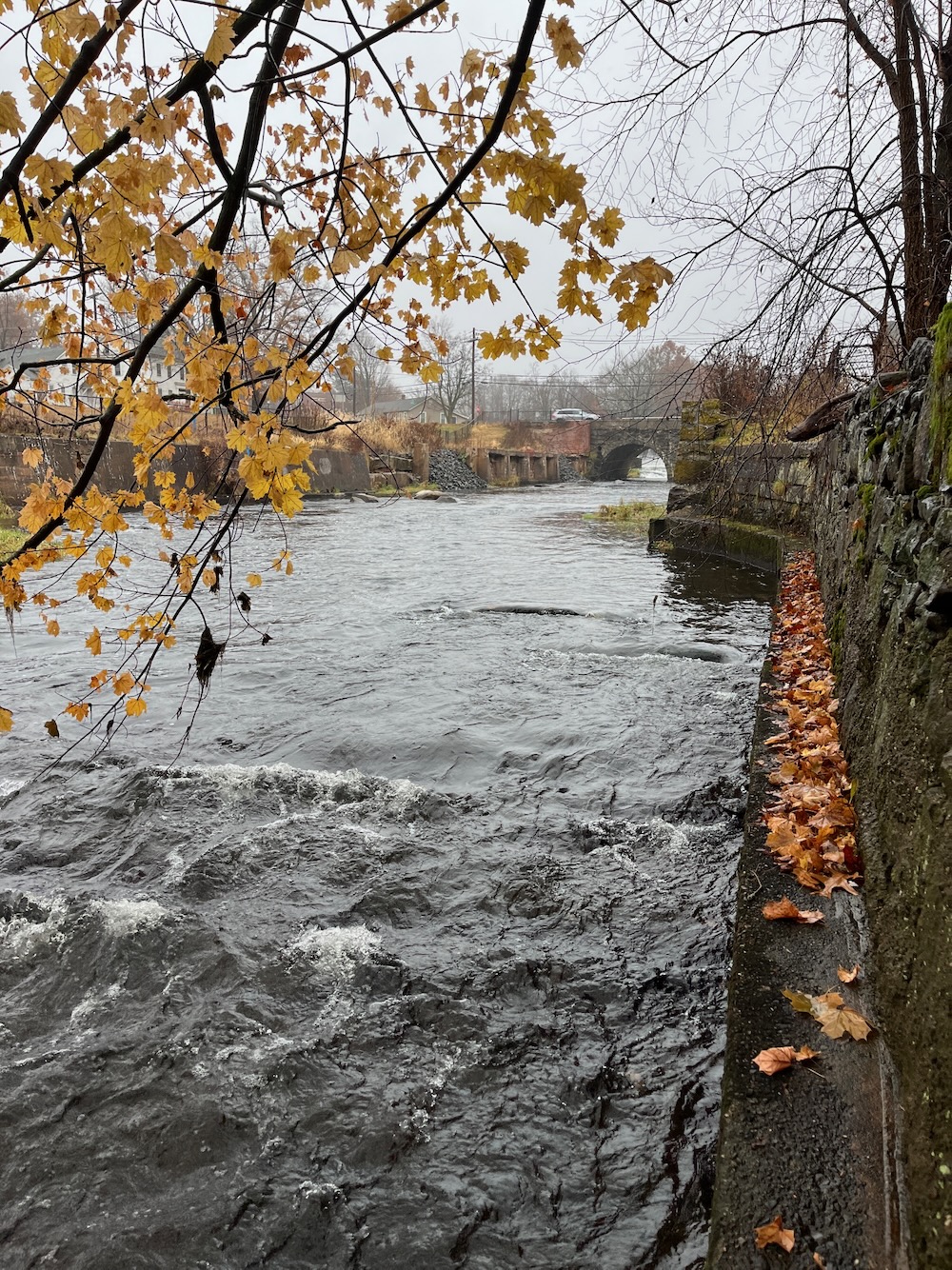
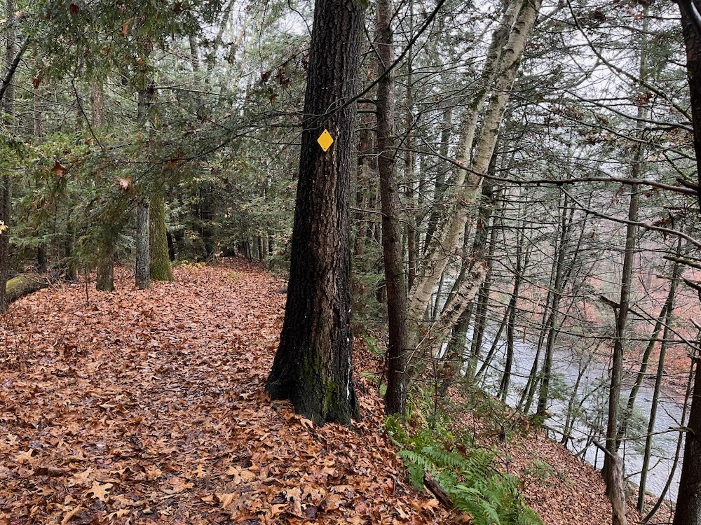
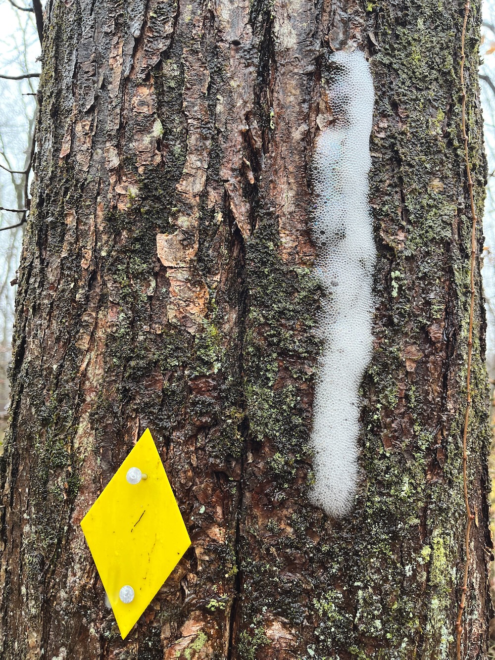
This trail offers a pleasant walk along the Scantic River starting at the Somersville Mill site and following the south side of the river into Enfield where it connects to a Connecticut DEEP trail and continues to the Scantic River State Park parking area on Bailey Road. The trail is marked with yellow diamonds and follows along the river bank for much of its length. At the far end be sure to take time explore the ruins of the dam and canal which supplied water for the Powder Hollow munitions factory.
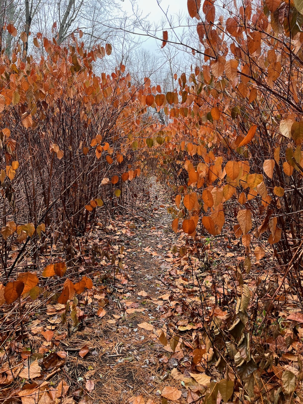
Knotweed
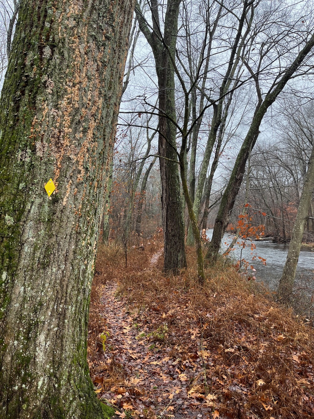
Yes, Town of Somers, I shall do exactly that. So yes, to put it in perspective, in 2017 I walked in from Bailey Road in Enfield and poked around the trails and the ruins of the dam. I did not, in 2017, hike east into Somers on the Somersville Mill Trail, however. In fact, I wrote back then, “I’ll hike that trail on another day since it leaves the state park.”
And here I am! Getting drenched on a right miserable day in late 2023! Let’s do this!
The blurb above says this is a pleasant walk. And I’m sure it is in early May maybe. I was hugely impressed with the maintenance here, as this trail cuts through literal forests of Japanese knotweed and multiflora rose. Sure, I got snagged on the thorns several times, but no one can keep up with that year-round.
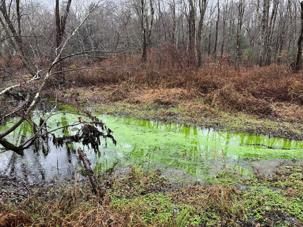
The first half of this trail (from the Somers end, which provides a rather huge parking lot by the way) hugs the river’s edge and can be pretty wet as a result. Several brooks and rivulets feed the Scantic River and therefore must be crossed. Bridgework along the way is hit or miss:
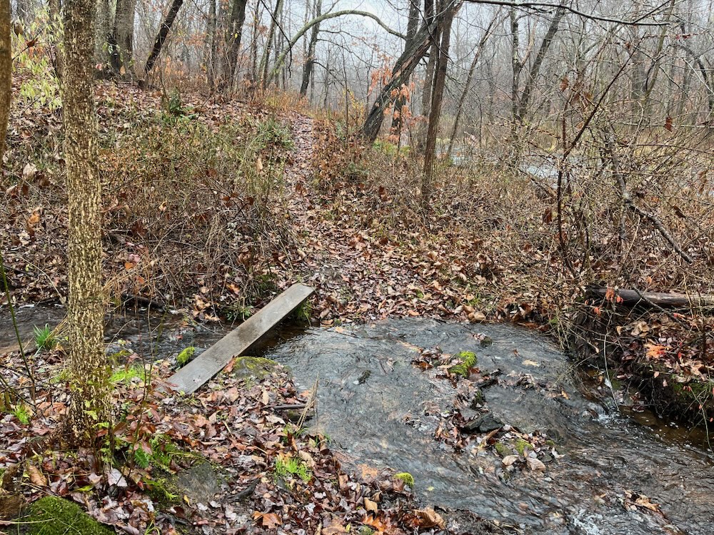
Serviceable
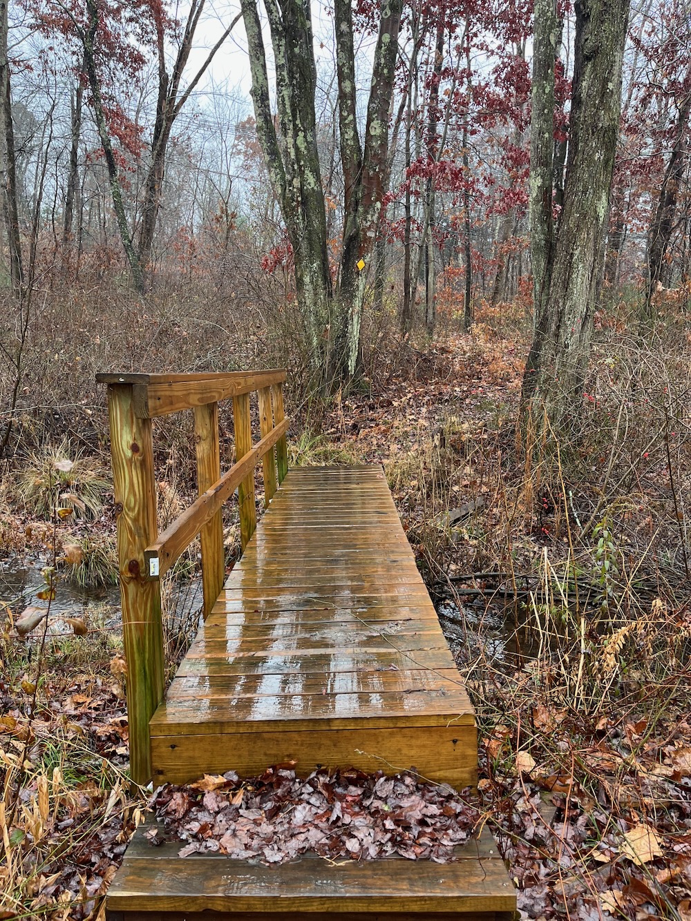
Wonderful
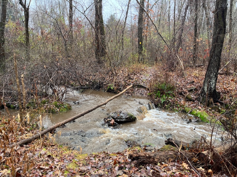
Not ideal
The worst part of that last one is that I was doing and out-and-back hike so I had to get across that twice. (I did, don’t worry.)
The Scantic is a decently sized river here and you can see why it was so attractive to the factory owners back in the day. Remnants of bridges remain and every now and then you’ll come across evidence of some sort of industrial part or building hidden in the woods:
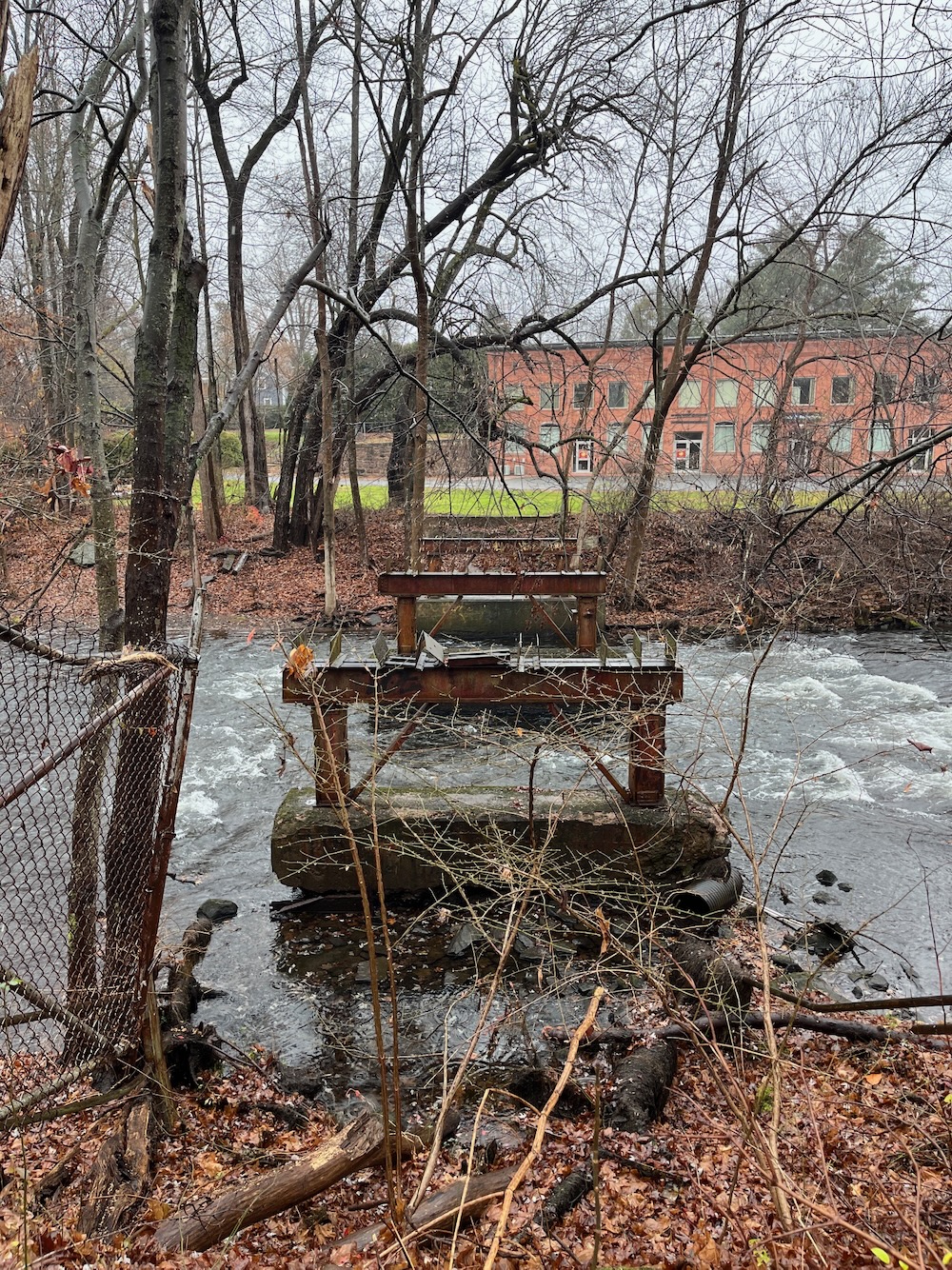
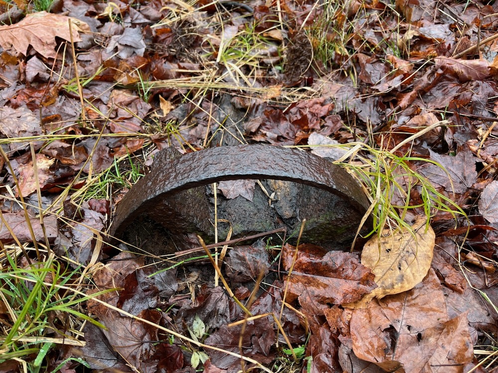
After trudging along the river for twenty minutes, the trail sought higher ground through a nice pine forest. It’s always interesting to me how quickly things can change in the woods with tiny elevation changes. Once up and away from the river, everything changed. No more invasives, no more bushes soaking my pants, no more muck. Just a pleasant walk across soft ground. Just like that. It was nice.
The trail from the Somers end is about a mile to the cool stuff. The stuff I saw all those years ago under a couple inches of snow. There’s a large old dam with all sorts of intact old factory remains. Raceway gates! Sluice gates! Glazing mill! Graining mill! Turbine housing! Lots of things that I have no idea how they worked!
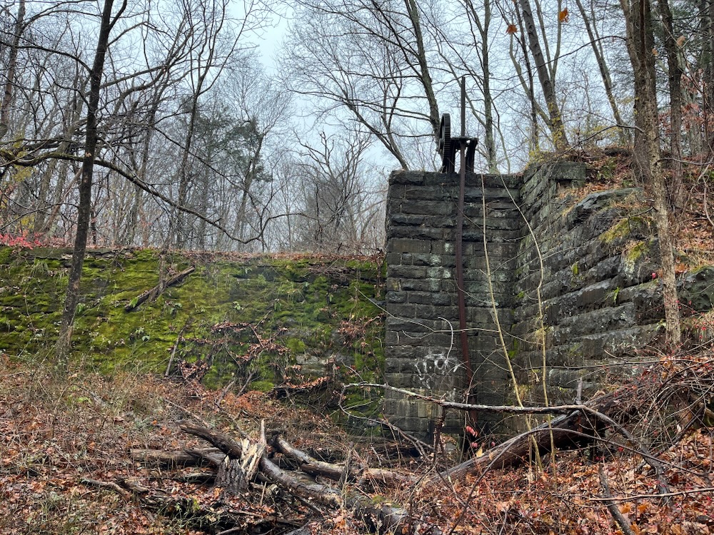
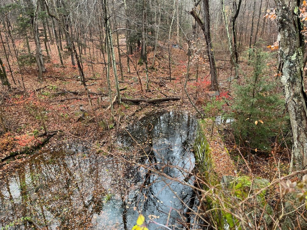
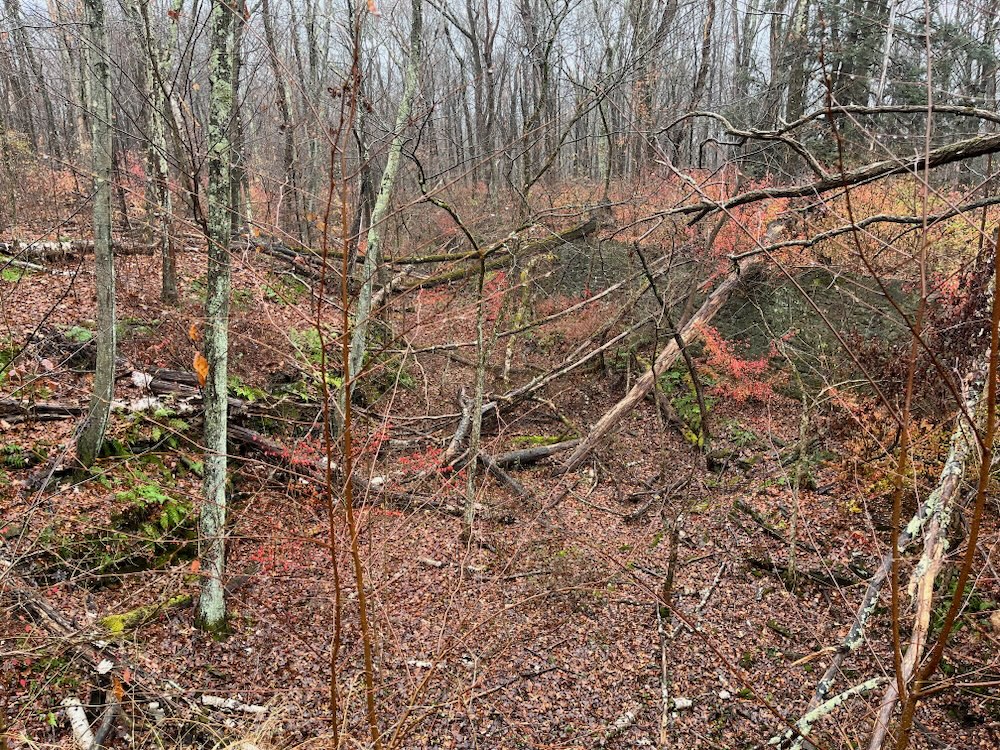
There used to be a website that detailed all of this stuff called Powder Hollow Hiker, but it no longer exists unfortunately. It was the only site that made any sense of the three state park parcels and all that was contained within. Fortunately, quick-thinking Matt over at Explore Connecticut thought to save one of the pdfs. The trails and blaze colors are out of date, but you’ll get the gist. (And I’ve saved the pdf in case Explore Connecticut disappears someday.)
I poked around the remains for a while, which is when the 2017 memories came back to me. I had come here off of the trailhead out on Bailey Road and walked the loop westward. So the trail I had just hiked was more or less entirely new to me.
Happy with the knowledge that I wasn’t losing my marbles quite yet, I began the wet trek back to my car off of Maple Street in Somers.
![]()
CTMQ’s Somers Town Trails
CTMQ’s Scantic River State Park hikes
DEEP’s Scantic River State Park maps
CTMQ’s State Parks, Reserves, & Preserves

 Carl Sampson, President SRWA says
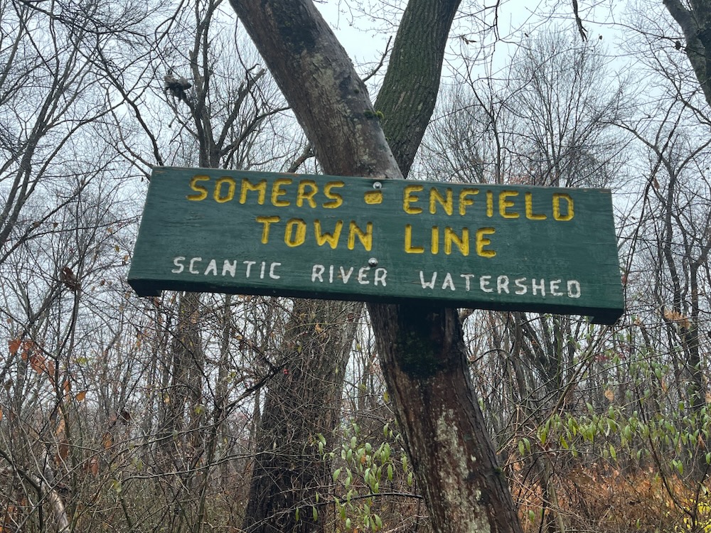
December 22, 2023 at 5:17 pmExcellent description and photos of the trail. Here are a few comments. The Scantic River Watershed Association (SRWA) members perform periodic maintenance on that trail and on the trails at the other four Scantic River Parks in Enfield and East Windsor. The large green Enfield-Somers Town line sign was posted by SRWA on both sides of the river in January 2022. The purpose was to let hikers know of their location as a point of interest, but also as a reference point for first responders in the event of some type of emergency. The canals, dams and machinery ruin’s you describe and photographed at the west end of the trail in Enfield, off Bailey Rd, are the remnants of the Enfield Powder Works. That powder business was started by several former Hazard Powder Works employees that decided to start a competing powder company upriver from the Hazard Powder Co. It was in business only for a few years but certainly adds to the many interesting historical features of the Scantic River. Information about both powder companies can be obtained in two locally, well written books.