I AtTAINEd Taine MounTAINE (Twice)
Taine Mountain Preserve, Farmington
February 2024
This page desscribes the Taine Mountain Trails in Farmington. If you are looking for the Taine Mountain Preserve Trails in Burlington, go here.
As I was heading out for this quick hike, I told my wife, “I’m going to Taine Mountain in Farmington.”
“What? Tame Mountain?”
And I replied, “No. ‘Taine.’ Like as in… mounTAINE.”
I’m sure she will throw this back in my face for the next 40 years because she’s an expert at things like that. As for me, I’m an expert in things like figuring out the intricacies of hiking every trail in Connecticut. Taine Mountain’s west side in Burlington has Burlington Land Trust trails that have been surrounded by new houses and roads on the mountain. Over here on the east side in Farmington, it’s probably too steep for that to happen, but you never know. Developers gotta develop.
I’d been eyeing this double loop hike for a few years, as it isn’t too far from home, isn’t too long, and is still a bit challenging. And with a snowboarding date postponed, I headed out and up Taine Mountain.
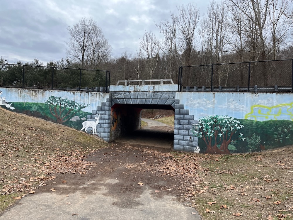
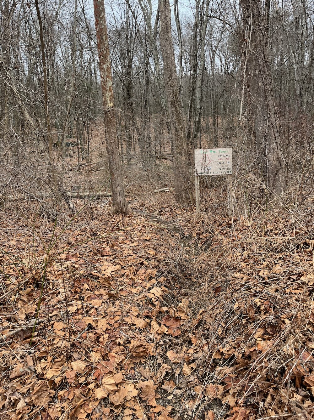
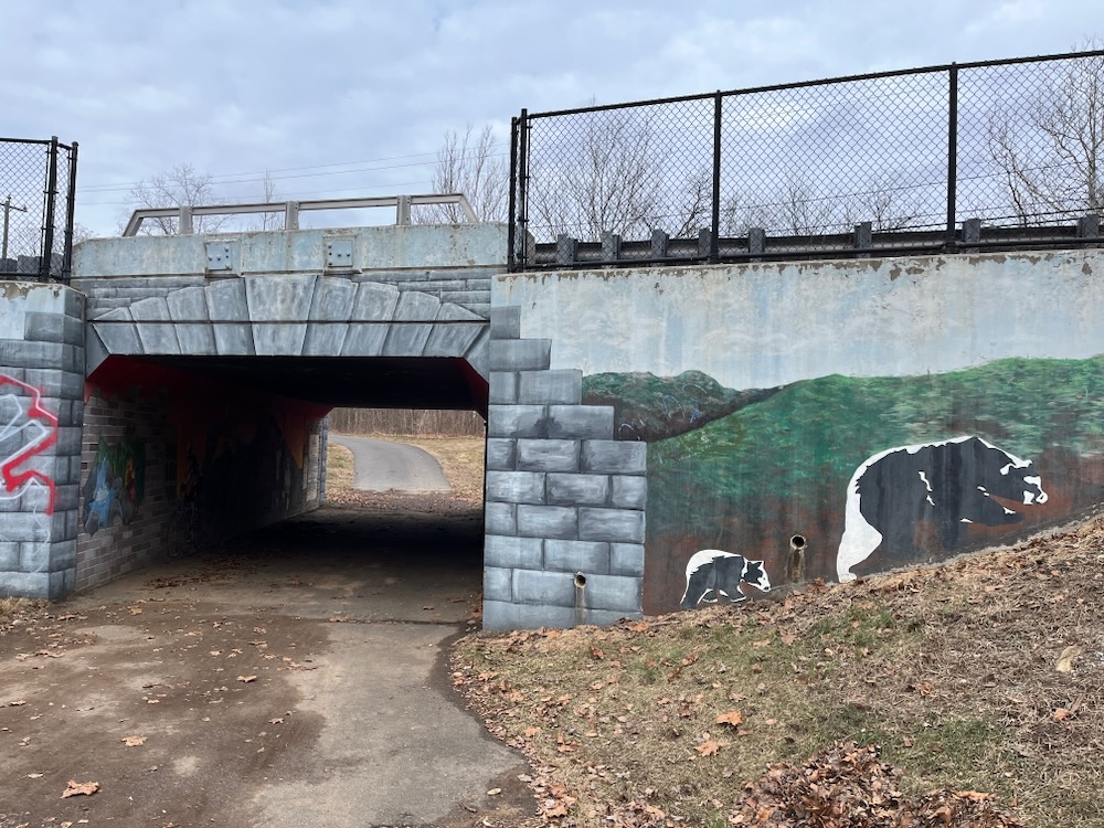
The parking area is shared with the Farmington River Loop multi-use trail. I remember seeing the trailhead sign when Calvin and I rode this section and thinking then I should get around to hiking here. As I walked through the Artist’s Tunnel – which is still super cool – and up to that trailhead sign, I was happy to finally be doing it.
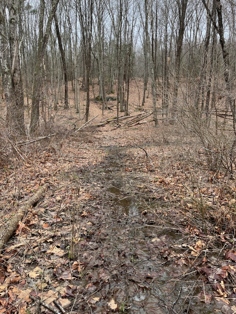
Then I saw the first 50 yards of the red trail:
Ugh.
But don’t despair! Once through that muck, the rest of the trail is far drier. They even note this on the trail description:
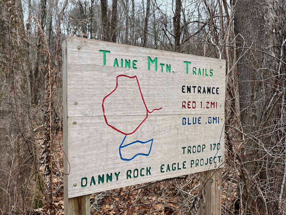
The trails are easily visible and are in good condition for hiking but certain sections may be slippery at times when wet. Also the first 100 feet of the trail can be
muddy during the early spring and after rain.
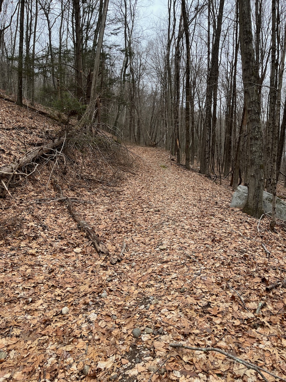
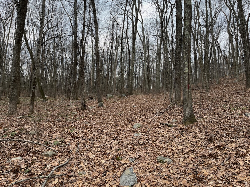
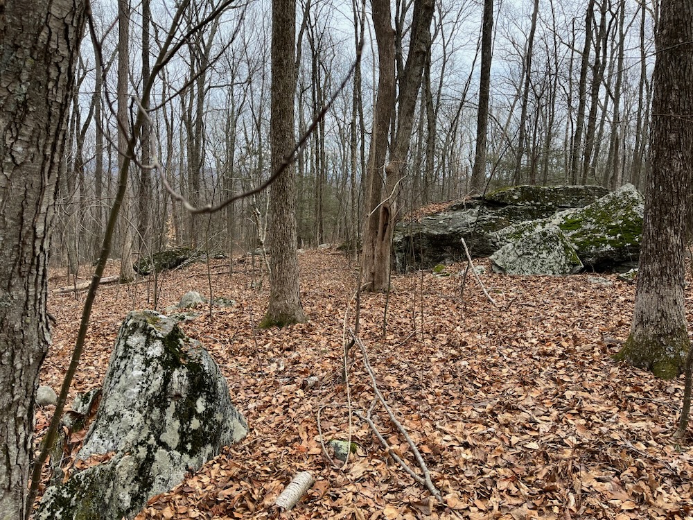
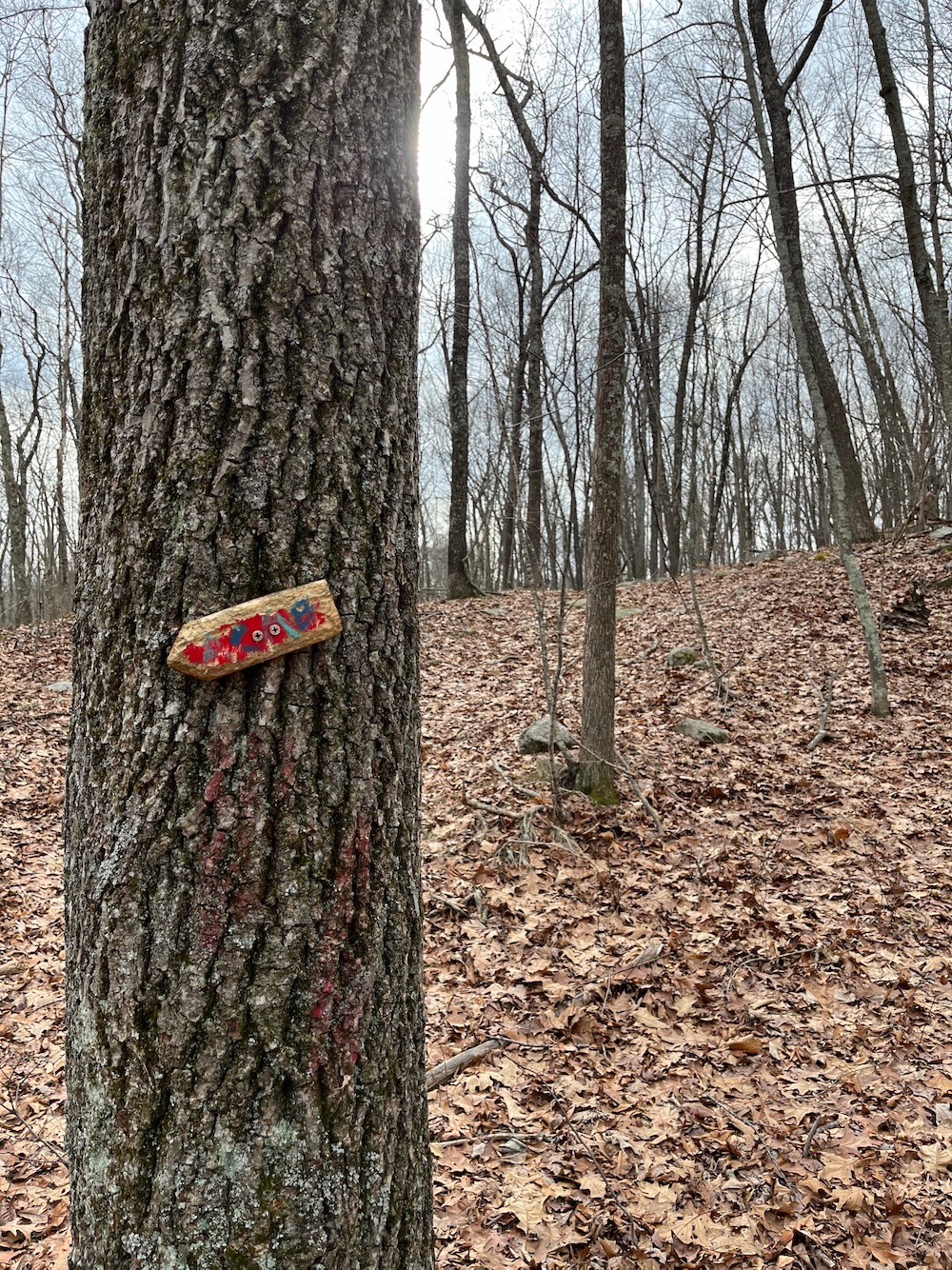
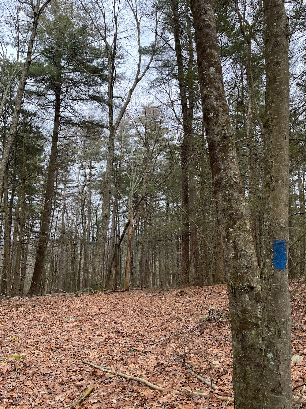
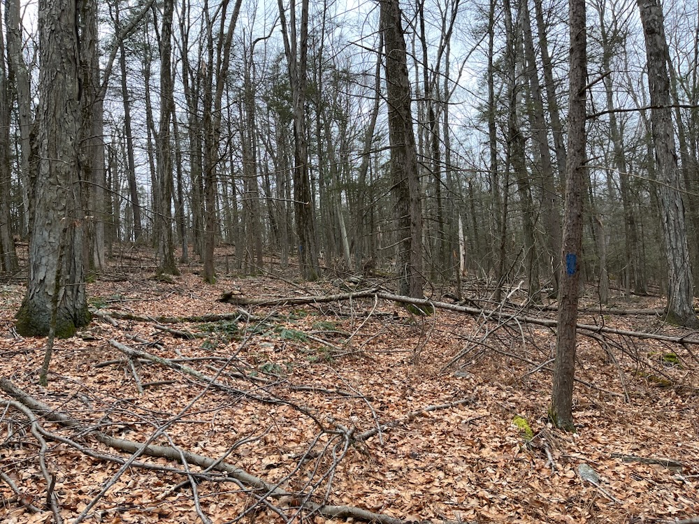
In fact, the entire hike up the mountain is mostly along a wide, open old woods road and it looks like this:
Now, I realize those pictures aren’t remotely exciting and contain nothing of interest. But hey, my feet were dry.
The Taine Mountain Trails are a series of trails with options ranging from 1.3, 2.1, and 2.5 miles over two trails – The red trail and the blue trail. I walked both loops counterclockwise and interestingly, it’s almost like the trail mainTAINErs force everyone to do that with the way its blazed. As I began both loops, I never saw the trail leading clockwise. I doubt that’s intentional, but it’s still mildly interesting.
Which brings me to something that drives me crazy.
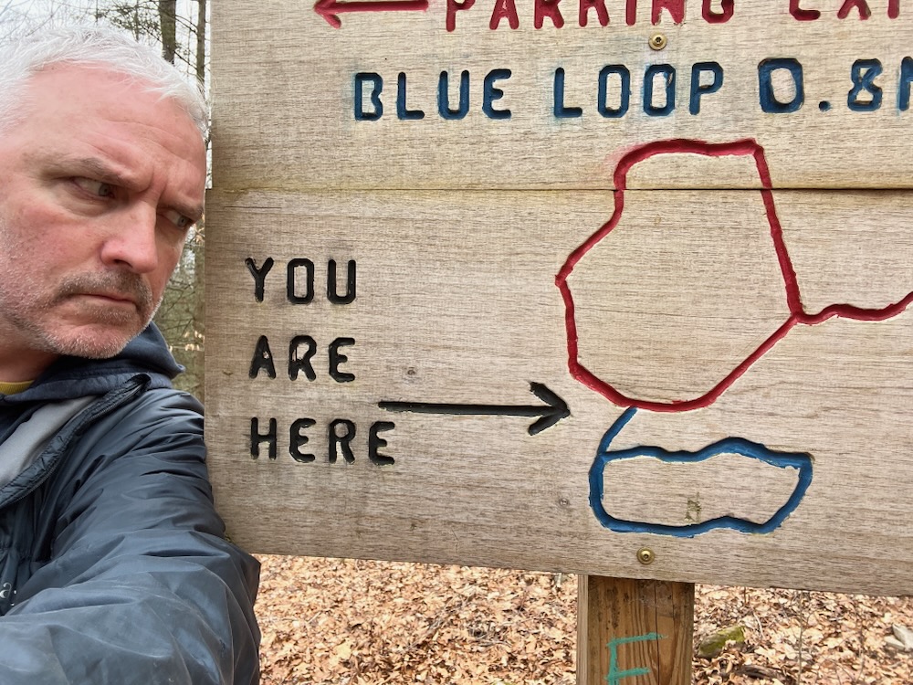
Shout out to Danny Rock for Troop 170 and congrats on your Eagle project. The signs are cool. But bro, both the one at the bottom and the one at the blue loop branch are… not great. In fact, I hate them.
They’re upside-down. Who in their right mind orients a map upside-down?! There I was, high up on Taine MounTaine having reached the blue branch loop and the map on the sign is telling me the blue trail heads east and down. But in reality, the blue trail heads west and up. It’s sheer insanity, through and through. (If it makes you feel any better, Danny Rock of Troop 170, I’ve seen adults do this as well. I’ve seen them orient maps “due south” instead of north. You were young when you made these signs, Danny Rock, so you can be forgiven. The others? Not so easily.)
Now, the blue loop is an odd little trail. Half of me recommends it, but the other half would beg you to skip it. You just climbed Taine Mountain. It got your heart pumping for sure, as it’s a fairly steep climb out of the Farmington River Valley. Then you descended a few hundred feet and now the blue trail will take you right back up.
And that’s fine. It takes you into a dense pine forest which is pretty neat.
But then… but then you descend. Almost all the way to Route 4 where you parked along the river. The trail was soft with inches of pine needles… until the part where the trail is literally a creek bed. Anyway, you get to the bottom of Taine Mountain and then turn 180-degrees and… ascend straight up again. The craziest part of this stretch is that I didn’t see any herd paths heading north to the red trail.
Like, I imagine every single person doing this wants to that. And it wouldn’t have been that hard. The blue trail here just becomes sort of “follow the blazes” because, I now think, no one hikes this section. There’s really just no point other than to challenge oneself. It’s not too long and before I knew it, I had completed the loop and was heading back down to the upside down sign and the rest of the red loop.
Down, down, down… and that’s when I saw it. The end? No. A bear? No. A bald eagle? No.
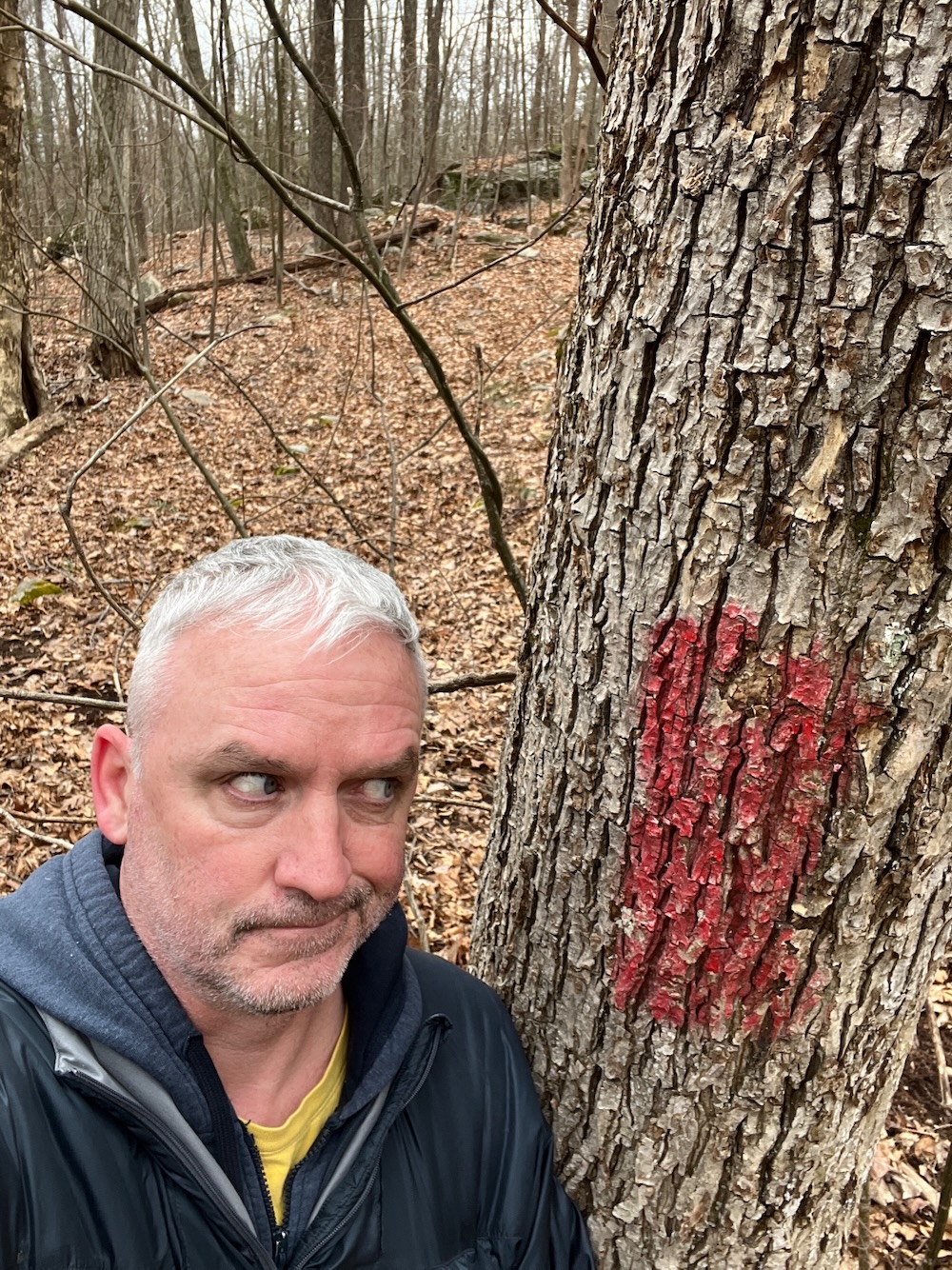
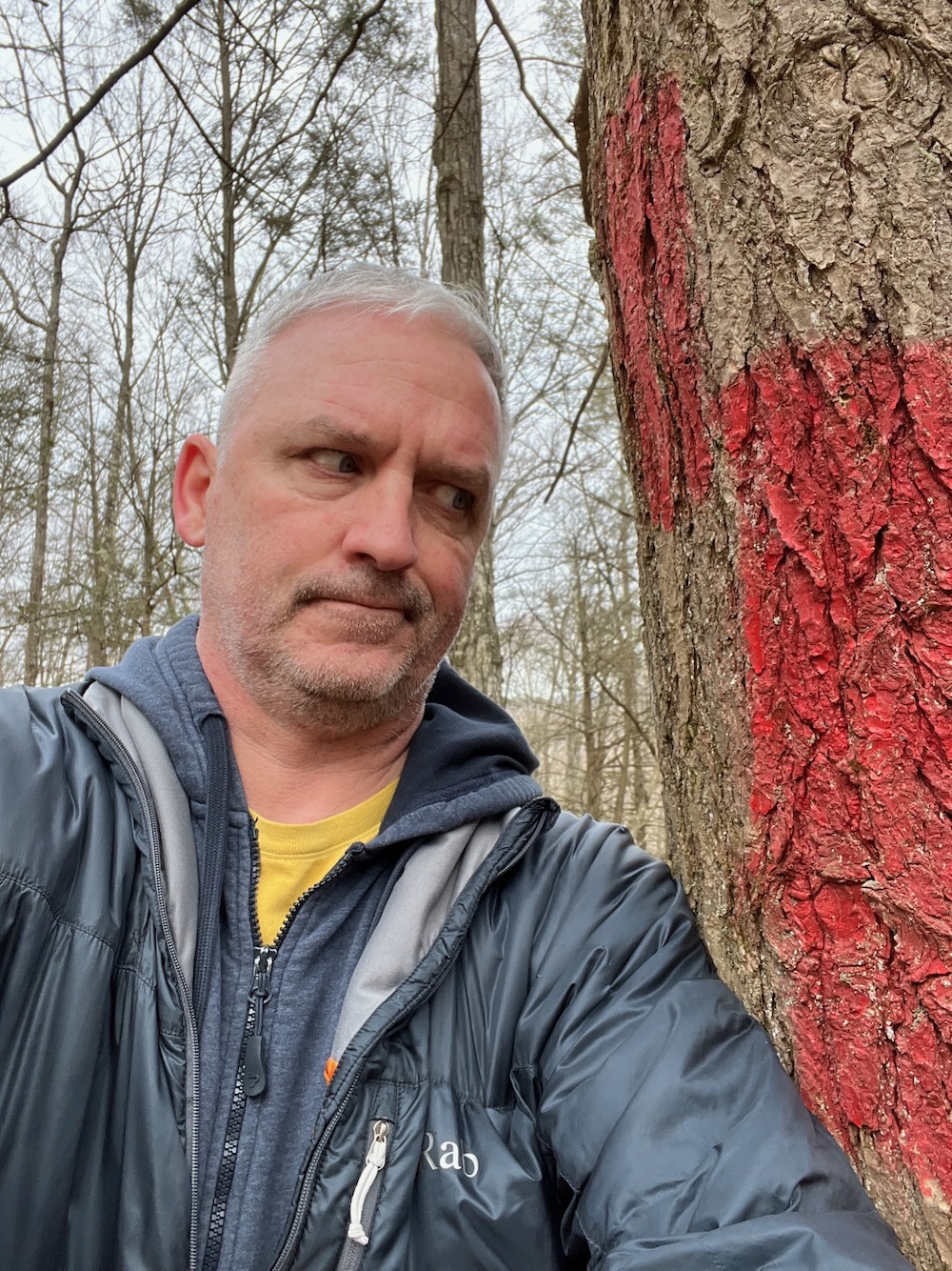
The single biggest trail blaze in all of Connecticut, if not New England. If not the country… if not… the worrrrrlllld.
What compelled the person to do this? Why did they think this was normal or necessary? It’s comically large. And just completely ridiculous. But hey, it’s something to write about I guess.
There are few cool rock features here, but nothing worth seeking out. I did see some sort of cage structure through the woods and was very curious as to what it was… it looked just like one of the old zoo enclosures over at Shady Swamp Sanctuary. I was going to crash through the woods to investigate, but I didn’t bother. I’m sure it’s just something for aging logs or whatever at the back of someone’s property.
And that, my friends, is that. Back across the muddy area and through the Artist’s Tunnel and to my car. Before all the homes were built up on the mountain’s western flank, I’m sure trails connected from here over to the Burlington property – which connect on to the Tunxis Trail. But in the 2020’s, we take what we can get.
And that Taine’t too bad.
![]()
CTMQ’s Farmington Town Trails page

 Peter says
February 13, 2024 at 8:21 amIn some states purple blazes on trees can be used in place of No Trespassing signs to indicate private property. Is that used in Connecticut?
 Ronald Jenkins says
March 9, 2024 at 4:01 pmThis place is a bit of a mess and a bit challenging in parts. However I found parts of the blue trail to be quite pretty with the tall pines and streams.